Michigan's best drives often come with a reason to stop. A forest canopy gives way to a glimpse of Lake Michigan; a river overlook invites a picnic; a road in the Upper Peninsula climbs above a patchwork of woods and water. These seven routes offer different versions of that experience, from short park loops to longer stretches of Great Lakes shoreline.
They are separate trip ideas across both peninsulas, not a single afternoon itinerary. Check weather, road conditions, seasonal closures and admission requirements before leaving. Stop only in designated areas, and give other drivers, cyclists and pedestrians room on narrow roads.
1. M-119: Follow the Tunnel of Trees

North of Harbor Springs, M-119 winds toward Cross Village beneath the leafy canopy that gave this stretch its Tunnel of Trees nickname. Glimpses of Lake Michigan appear between the trees, but the character of the road itself is the attraction: curves, changing light and small communities encourage an unhurried pace.
This is a narrow, winding road shared with local traffic. Drive attentively, keep your speed appropriate to the conditions and never stop in a lane simply because the trees frame a photograph. Look for legal parking in a town or established turnout before getting out.

Fall color can be beautiful, but timing varies from year to year and busy weekends bring additional traffic. Summer offers longer days; in colder months, check weather and road conditions before traveling. A meal or walk in Harbor Springs or Cross Village can turn the drive into a relaxed regional outing.
2. M-22: Explore the Leelanau Peninsula

M-22 follows a broad arc through northwestern Michigan, linking shoreline scenery, inland lakes and communities on and around the Leelanau Peninsula. It is a route best approached in sections: a day based near Glen Arbor will feel different from an outing around Suttons Bay or a drive farther south toward Frankfort and Arcadia.
Michigan's tourism office highlights overlooks, beaches and trail opportunities along the corridor. Choose a few stops with safe parking rather than trying to fit every beach, farm stand and village into one day. A short walk can give you a different perspective from the road and help break up a longer drive.
Some beaches, businesses and park facilities operate seasonally. Confirm hours, parking and any required passes before leaving, and avoid trampling dune vegetation to reach a view. The road is a working route for residents as well as travelers, so watch for turning vehicles and people on bikes.
3. Pierce Stocking Scenic Drive: Dunes and Lake Michigan

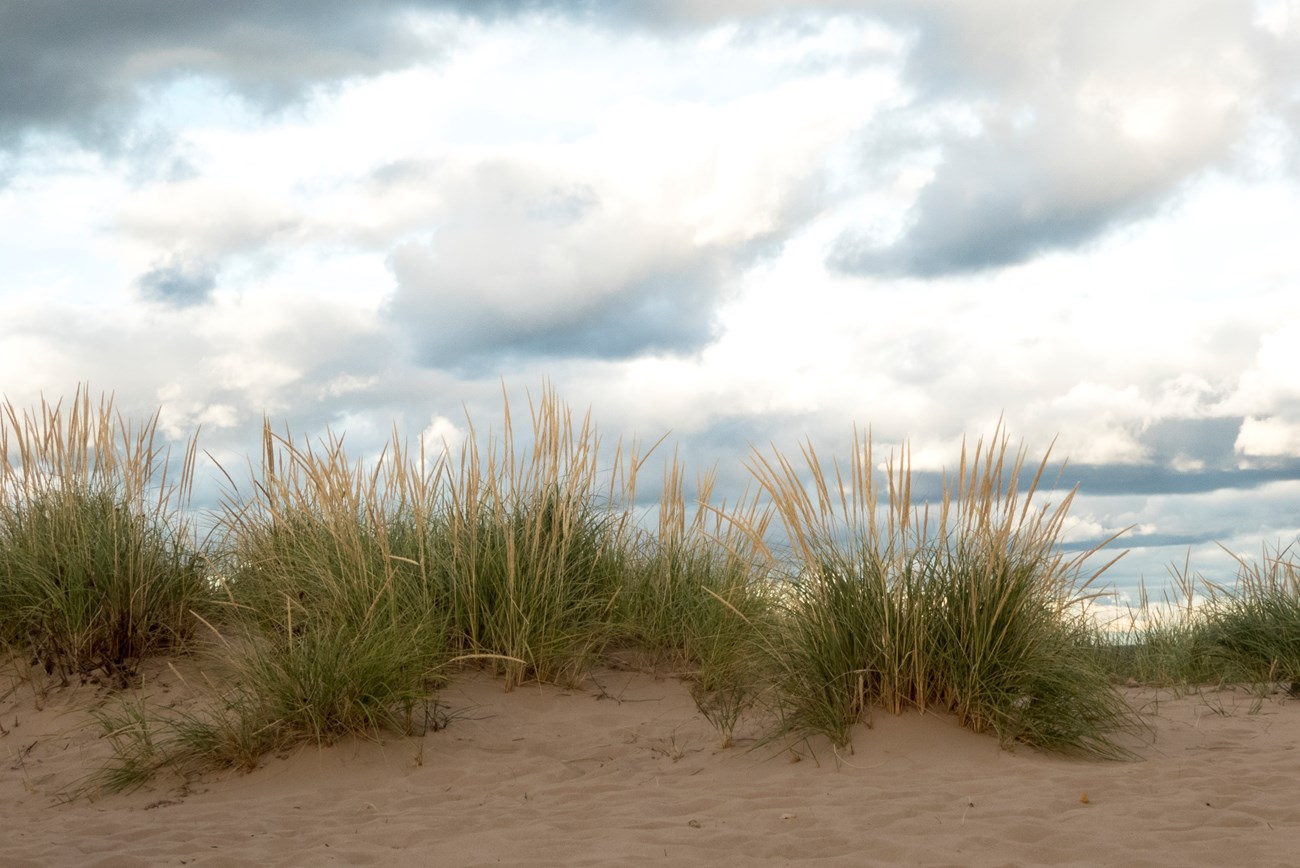
Within Sleeping Bear Dunes National Lakeshore, Pierce Stocking Scenic Drive is a 7.4-mile loop with designated stops overlooking dunes, lakes and forest. Unlike a long highway route, it is designed as a focused outing: park, take in a view and move on when you are ready. The National Park Service notes that much of the scenery can be appreciated from a vehicle.
Vehicle access is seasonal, generally from late May to late October, and exact dates depend on conditions. The park says the road is open for walk-in recreation during the vehicle closure, but steep grades and slippery weather can make that a very different experience. Check the current notice and your own ability before planning a visit.

Trailers are not allowed on the drive, and the park lists a vehicle-clearance limit. Use designated parking, stay on established paths and do not descend steep dune faces simply for a photo. The climb back can be much harder than it looks, and emergency responses put both visitors and rescuers at risk.
4. River Road: Overlooks Above the Au Sable

West of Oscoda, River Road National Scenic Byway follows the Au Sable River corridor through the Huron-Manistee National Forests. Overlooks and recreation sites turn a relatively compact drive into an opportunity to explore the river valley from several perspectives.
Choose an open overlook or trail in advance, and check whether stairs, steep grades or unpaved surfaces suit your group. A picnic and a short walk can be as satisfying as a longer hike. The river landscape changes with the season, from summer foliage to the quieter feel of colder months.

Some facilities and access roads may be seasonal. Consult the forest's current information for closures, fees and conditions, and remain behind barriers at overlooks. The byway connects naturally with a separate Lake Huron shoreline trip near Oscoda, but allow time rather than treating every stop as a quick roadside glance.
5. Copper Country Trail: A Keweenaw Peninsula Journey

In the Upper Peninsula, the Copper Country Trail follows US-41 through communities shaped by mining history toward Copper Harbor. Forest and old industrial landscapes sit close together here, making the drive an invitation to learn about the peninsula as well as admire it.
Give yourself time to stop in towns along the route and check current museum or historic-site hours if a particular attraction matters to your visit. A short detour can change the character of the day, but distances, weather and seasonal services deserve attention, especially outside the busiest travel months.

Watch for wildlife and changing road conditions, and pull over only where it is safe and permitted. This is a northern trip: bring layers, carry water and avoid assuming that every restaurant, tour or visitor center is open year-round. The historic road and surrounding communities are part of a living region, not simply a backdrop.
6. Brockway Mountain Drive: A High View Near Copper Harbor

Near Copper Harbor, Brockway Mountain Drive climbs above the surrounding forest for broad views toward Lake Superior and the Keweenaw landscape. It pairs naturally with the Copper Country Trail, but deserves its own time: the reason to take the climb is to stop at an established overlook and let the scenery unfold.
Visibility can change quickly with clouds, rain or fog, and the experience may be very different from a sunny photograph. Check local road and seasonal information before setting out. In cold weather, do not assume the drive is open or maintained for ordinary vehicles.

Use signed parking areas, keep children close near drop-offs and stay on durable paths. If the view is hidden, enjoy a visit to Copper Harbor or choose another open attraction and leave the overlook for a clearer day. A safe turnaround is a better plan than stopping in a dangerous place to wait for the weather.
7. US-23 Sunrise Coast: Lake Huron Towns and Shoreline

Michigan's Sunrise Coast follows US-23 through communities along Lake Huron, linking places such as the Tawas area, Oscoda, Alpena and Rogers City. It is a longer route than the park loop at Sleeping Bear, so pick a section that fits the time you have and make space for a waterfront walk or a museum visit.
The state byways guide describes beaches, lighthouses and trails along the corridor. In Oscoda, travelers can connect to River Road for a separate inland excursion along the Au Sable. That combination offers a useful contrast: lake horizon on one trip, river valley on another.
Check opening hours for any lighthouse, museum or park facility you hope to visit, since many vary by season. Great Lakes weather can shift quickly, and winter travel deserves extra preparation. Park legally in a town or designated site before enjoying the shoreline, and never stop on the shoulder merely to capture a view.
Before You Go
Check current road, weather and park conditions; seasonal closures and storms can change plans. Confirm parking, passes and facility hours, carry water and layers, and share the road with local traffic and cyclists. Stay on designated paths and behind barriers at dunes, cliffs and overlooks.