North Carolina can change the view through your windshield faster than you might expect. One day you can climb a dune beside the Outer Banks; on another, you can follow a trail through a mountain forest or search a coastal wetland for a plant found naturally in a remarkably small part of the world.
These six state parks offer very different ways to spend time outside, from an easy half-mile walk to a demanding waterfall hike. They are spread across the state, so think of the list as inspiration for several trips rather than a single weekend itinerary. Check trail conditions, weather and park hours before leaving home, particularly where construction or busy parking areas may change the plan.
1. Jockey’s Ridge State Park: See the Outer Banks from the dunes
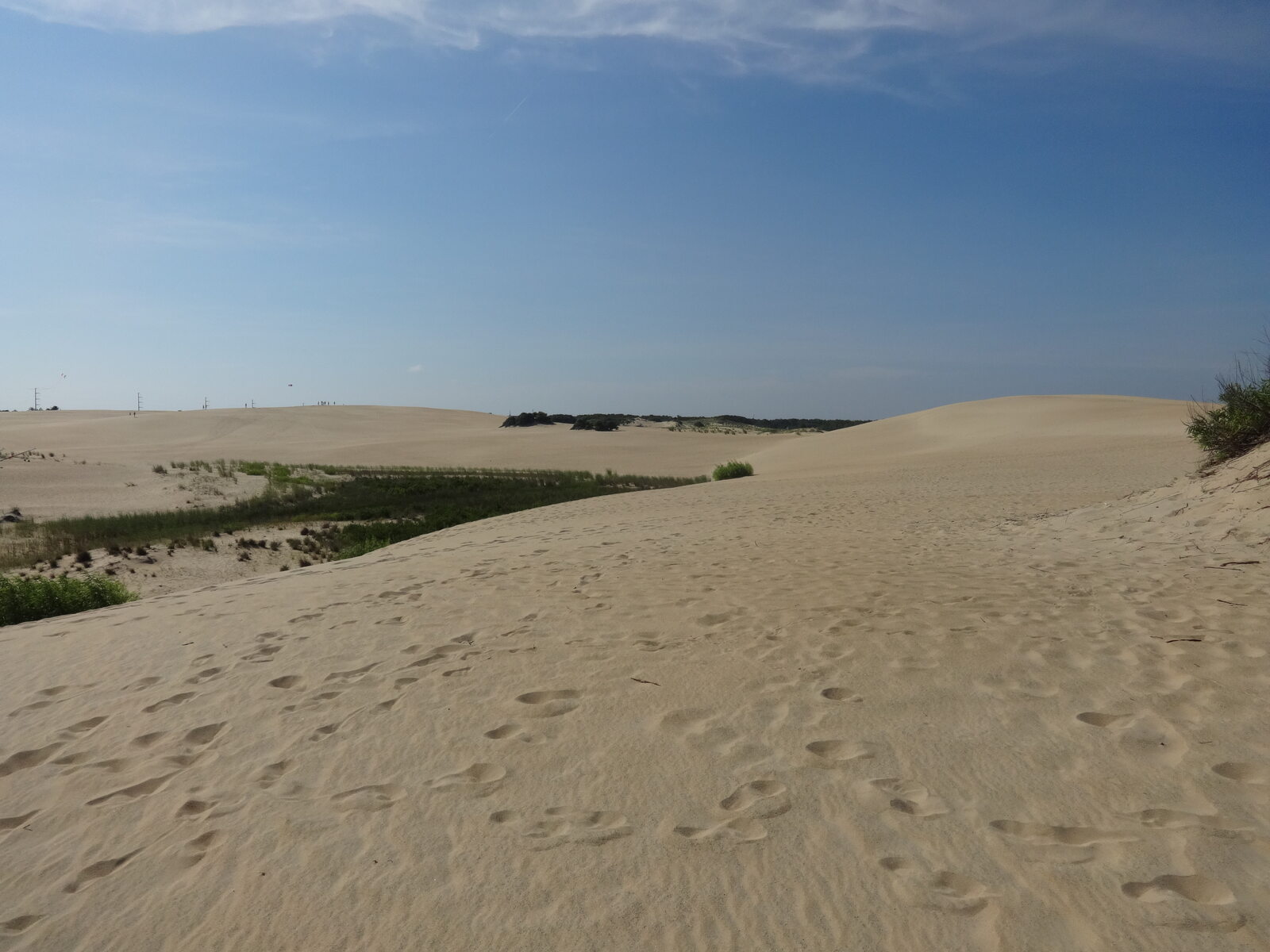
At Jockey’s Ridge in Nags Head, the landscape feels almost improbably open. Instead of a forest canopy or a rocky mountain path, you find a broad expanse of shifting sand, with Roanoke Sound on one side of the barrier island and the Atlantic Ocean on the other. The state park calls this the tallest living sand dune system on the Atlantic coast: wind keeps moving the sand, so the contours change over time.
This is a memorable place to fly a kite or watch the light change near the end of the day. Start at the main access on West Carolista Drive, where the visitor center provides context for the dunes. A short boardwalk introduces the landscape, while the 1.2-mile Tracks in the Sand loop takes visitors farther into it. The park also has a separate Soundside Access and nature trail; it is worth checking the map before choosing where to park.

Sand is an honest workout, even when the mileage looks modest. It can become extremely hot, and shade is limited, so carry water and protect your feet and skin. The park lists its boardwalk trail as not ADA accessible; visitors with mobility needs should contact the park about current options rather than assuming a dune walk will work for everyone. Avoid damaging the plants that help stabilize the dunes, and check the park’s rules if you plan to bring equipment for activities such as hang gliding.
2. Carolina Beach State Park: Look for a tiny carnivorous plant
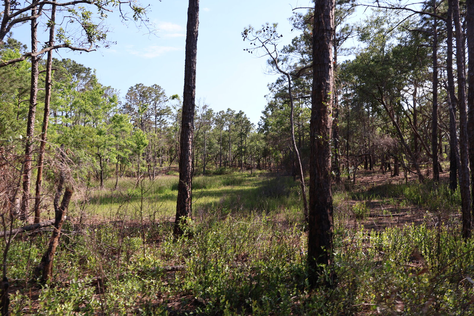
Just outside the bustle of Carolina Beach, this park reveals another side of the coast: longleaf pine, wetlands, sandy paths and the Cape Fear River. It is particularly appealing if your family likes the idea of a beach trip but wants an outing that feels more like a nature detective story.
The half-mile Flytrap Trail loops through several plant communities where Venus flytraps may be seen along the edges of pocosin wetlands. The plants are small and easy to miss, and spotting one is never guaranteed. Look carefully from the trail, give the vegetation space, and do not touch or collect the plants. Trampling can damage the fragile habitat that makes the walk special in the first place.
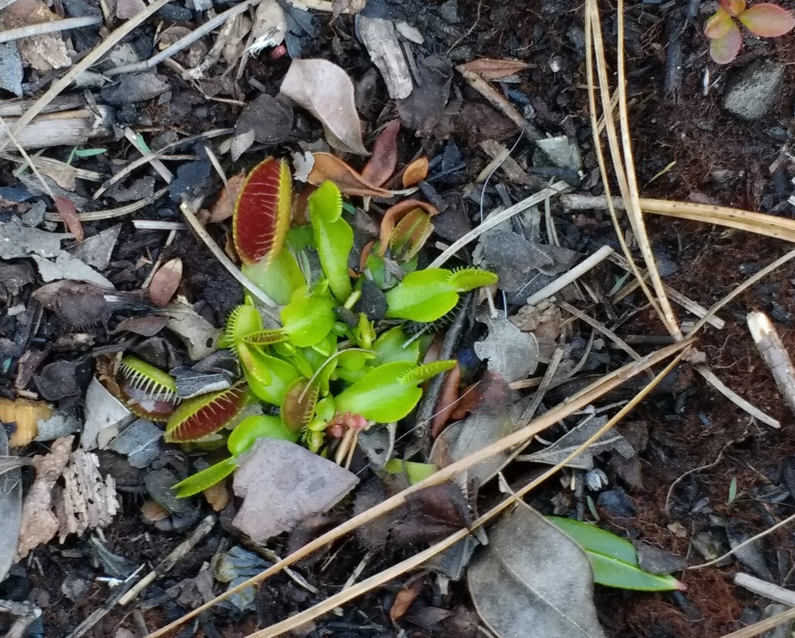
The park describes the Flytrap Trail as wheelchair accessible, with a natural surface and sections of wooden boardwalk. Conditions can change, so visitors who need specific surface or clearance information can call ahead. For a longer walk, the three-mile Sugarloaf Trail explores several habitats on the way to a prominent dune, beginning at the marina parking area. It has sand and is not listed as accessible.
Make the marina or a picnic stop part of your visit, then leave time for the rest of Pleasure Island if you are staying nearby. Bring water and insect repellent, especially in warm months, and remember that a coastal forest can feel very different from the breezy oceanfront only a short drive away.
3. Hanging Rock State Park: Pair a mountain view with a forest walk
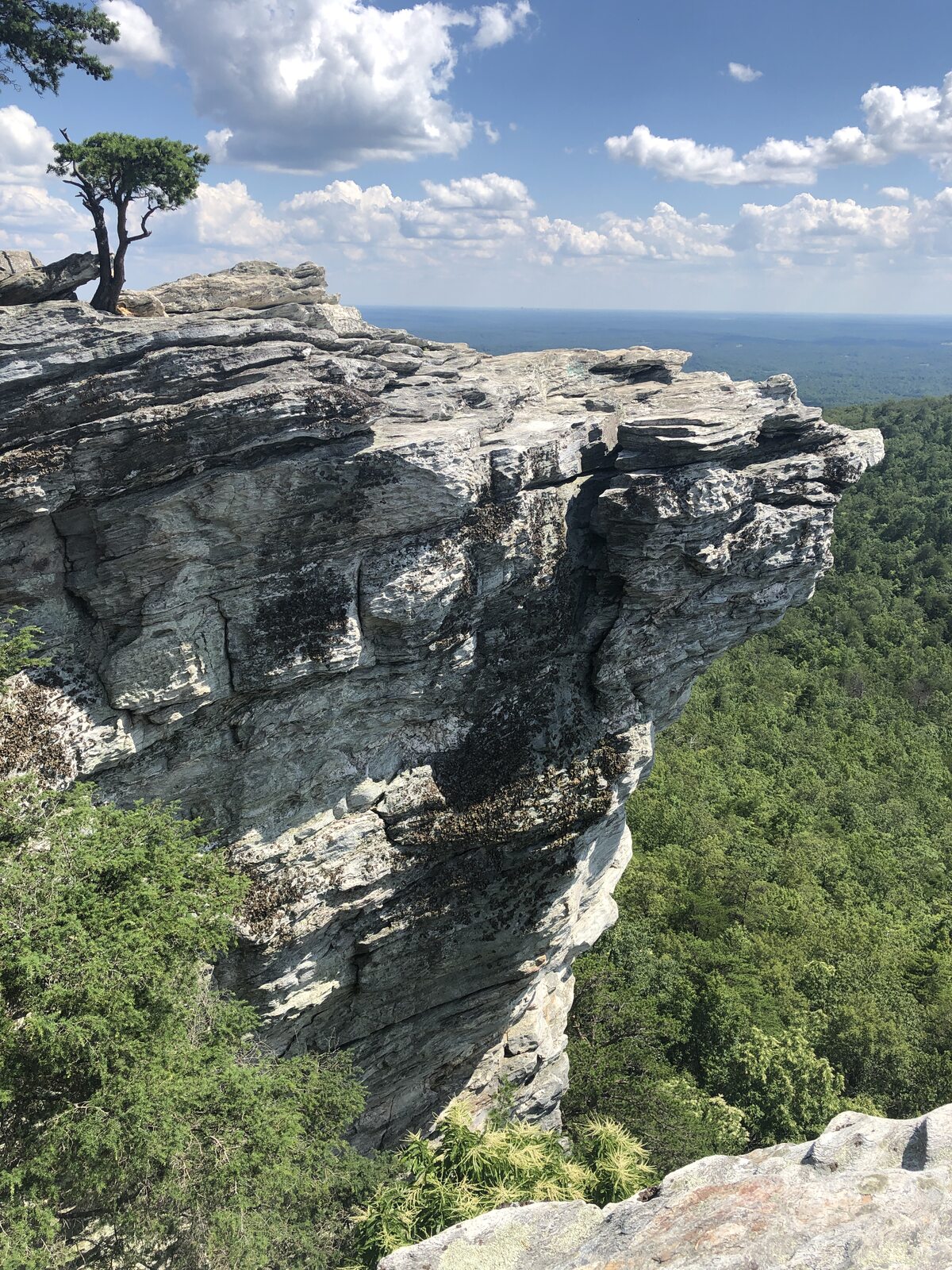
The Sauratown Mountains rise above the surrounding Piedmont at Hanging Rock, near Danbury. Their dramatic rocky outcrops are the reason many people arrive with a camera, but the park also has wooded trails, a lake and several waterfall destinations. You can shape the day around one favorite view instead of trying to squeeze every trail into a single visit.
The route to Hanging Rock’s overlook is a popular choice for a reason: the reward is a broad view across the landscape rather than just a glimpse through the trees. The final approach involves climbing and uneven footing, so give yourself enough time, wear shoes with good traction and stay well back from exposed edges. A spectacular overlook is not a reason to ignore the weather; wet rock, wind and approaching storms can turn a comfortable plan into a poor one.
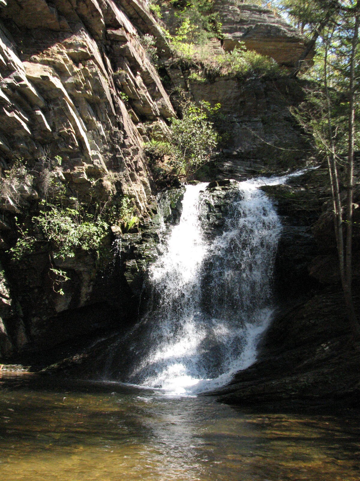
If waterfalls are your priority, consult the park’s trail descriptions before deciding which one fits your group. Distances and elevation vary, and a short route on a map may still involve steps, roots or steep ground. Keep children close near drop-offs and never climb on a waterfall or enter the water above one.
The park lists the swimming lake and boat rentals as closed after the 2026 summer season. It also reports the family campground closed for improvements, so check the park’s notices before planning an overnight stay. A picnic and a walk through the woods can make a satisfying afternoon when the beach is closed or your group wants a quieter pace.
4. Pilot Mountain State Park: Meet an unmistakable landmark
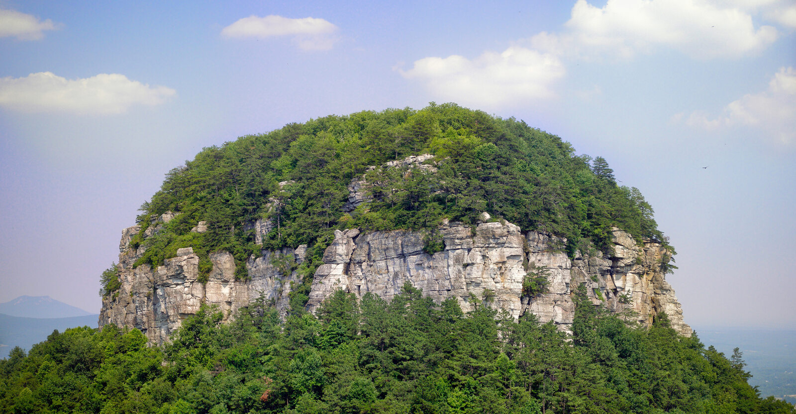
Long before you reach Pilot Mountain, its distinctive rounded pinnacle announces itself above the countryside. The mountain has served as a landmark for generations, and the surrounding state park gives visitors several ways to appreciate it without treating the most recognizable rock as a summit to conquer.
The Big Pinnacle is protected as a sanctuary for nesting birds and is closed to climbing. Park trails and overlooks offer views of the formation and the surrounding Sauratown landscape; stay on designated routes and respect closures. A park map will help you distinguish the summit parking area from the protected pinnacle itself, a useful distinction when explaining the visit to children or planning a hike.
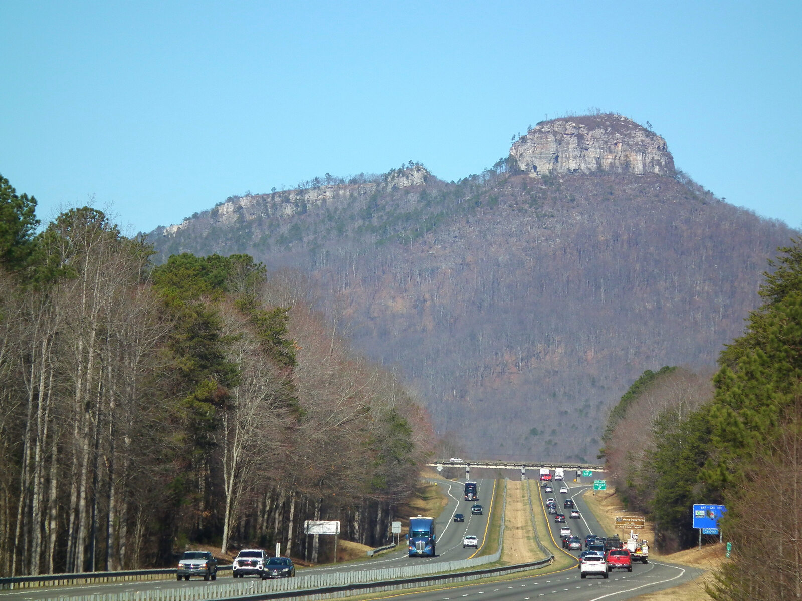
The road to the summit area can close temporarily when parking fills or conditions require it. Check the park’s current visitor guidance before leaving, especially on a pleasant weekend, and have an alternative ready if the upper parking area is busy. The river section is another part of Pilot Mountain State Park, not simply a short walk from the mountain overlooks; study the access points before setting navigation.
This is a good stop for travelers who like a view with a little context. Spend time at the visitor center, ask about a route suited to your group and look back at the mountain as you leave. Seeing the knob from the road afterward makes its role as a landmark especially easy to understand.
5. Stone Mountain State Park: A granite dome and a mountain farm

North Carolina’s Stone Mountain, in Alleghany and Wilkes counties, centers on a massive granite dome rather than the similarly named attraction in Georgia. The 600-foot rock face and the restored mid-19th-century Hutchinson Homestead at its base create an unusual pairing: a striking natural landmark and a reminder of the families who built lives in this mountain landscape.
The normally 4.5-mile Stone Mountain Loop is strenuous, linking the summit area, homestead and waterfall. But visitors should not assume the complete loop is available: the park currently reports that the portion near Stone Mountain Falls is closed for a stair replacement project, with limited upper-trailhead parking. Other trail sections and access may also be affected by construction. Check the current closure map and ask park staff which route is open before setting out.
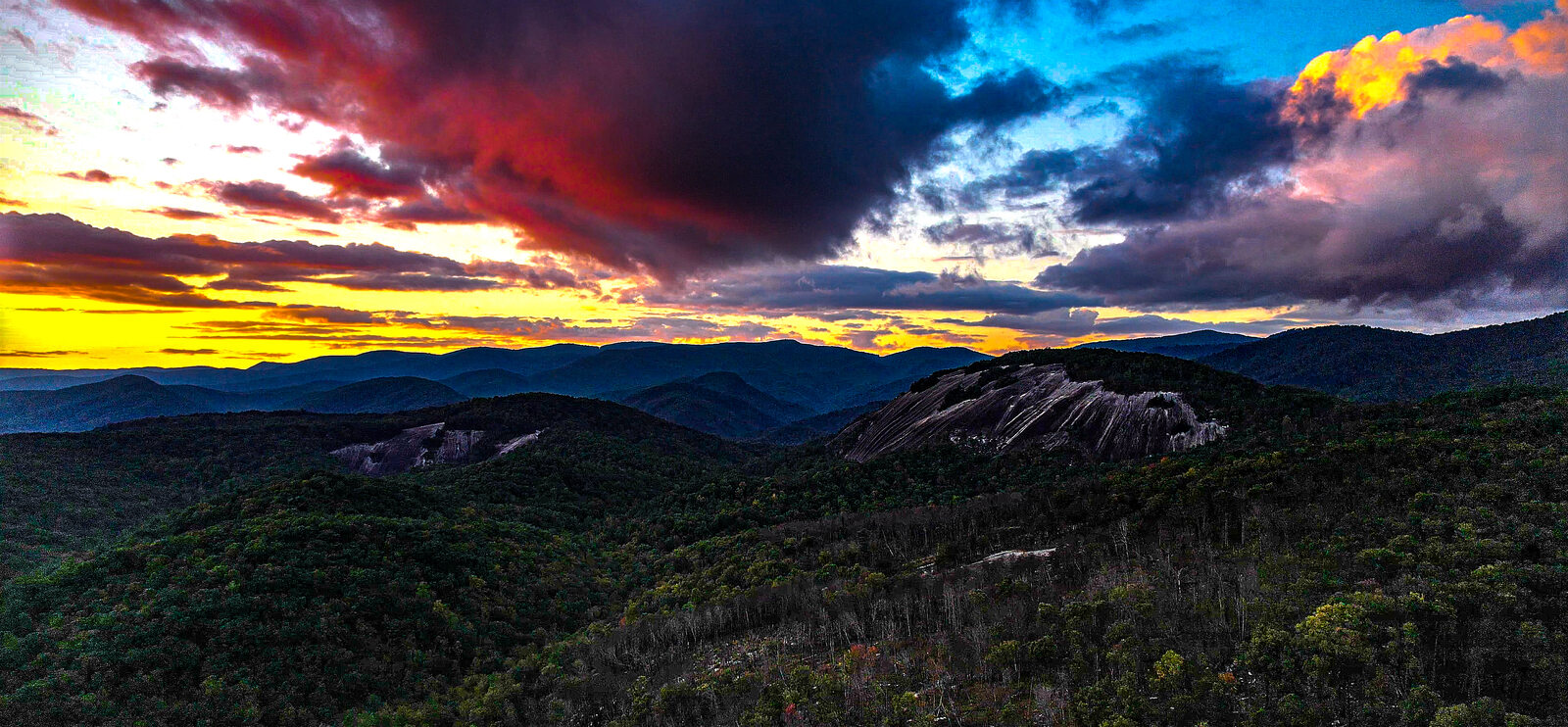
That warning matters because a loop hike depends on both ends being usable. If you choose an open out-and-back instead, carry the map and know your return distance. Rocky surfaces can be slippery, and a waterfall’s edge is never a safe shortcut or swimming platform. Give the site room and follow posted barriers.
The homestead offers a different way to think about the park, even if a long hike is not in your plans. Check whether the buildings are open before visiting; being able to see a historic farmstead from outside does not necessarily mean its interiors are accessible that day. Picnic areas and streams can round out a slower visit.
6. Gorges State Park: Explore a mountain rainforest
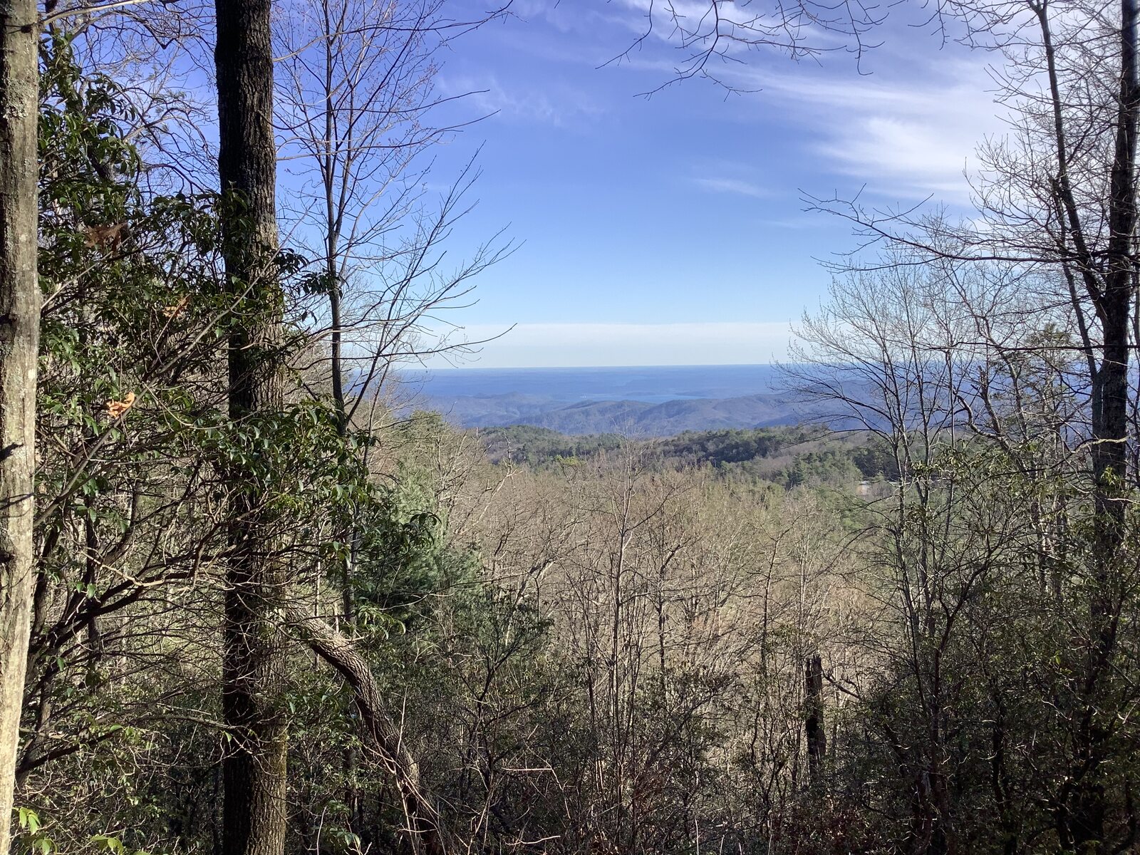
At Gorges State Park near Sapphire, the Blue Ridge Escarpment gathers enough moisture to support a temperate rainforest. Rivers cut steep gorges through the landscape, and waterfalls draw hikers toward the Horsepasture River. It is beautiful country, but the park’s own description of backcountry-style recreation is a useful clue: trails here deserve more preparation than a roadside photo stop.
The Grassy Ridge access has a visitor center and is the starting point for the Rainbow Falls Trail. The state park lists the trail as 1.5 miles one way and strenuous; the waterfall itself is in adjoining Pisgah National Forest. That makes the round trip about three miles before any side trips, with terrain and elevation to consider. Check trail conditions and allow more time than the distance alone suggests.
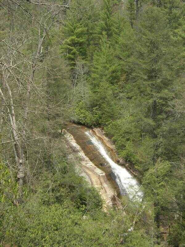
At waterfalls, observe from established viewing areas and keep away from slippery rocks and fast water. Never climb beside a cascade or go above it for a closer picture. The park also reminds visitors that bears are active throughout the year: secure food and dispose of trash in the bear-resistant receptacles provided.
There is more than one entrance to this large park. Frozen Creek access has a different set of trails from Grassy Ridge, so choose the right starting point before relying on your navigation app. Visitors who want a gentler day can begin at the visitor center, ask staff about suitable open routes and enjoy the mountain setting without committing to a strenuous waterfall hike.
Plan a North Carolina park day that fits your group
The best park on this list is the one that matches the time, energy and weather you actually have. A family might choose Carolina Beach’s Flytrap Trail for a short nature walk; an experienced hiker may prefer the demanding route toward Rainbow Falls. Jockey’s Ridge is wonderful at sunset, but remember to check when the park closes and leave enough daylight to return safely.
Download a map before you go, carry drinking water and check the individual park’s current alerts. Admission and activity fees, seasonal facilities, parking and road access can change. Above all, give your group permission to turn around when conditions are uncomfortable: there is plenty of North Carolina left to explore on another day.