Some Pennsylvania views arrive after a long climb. Others wait just beyond a parking area, where the trees open and a river or a line of ridges suddenly fills the horizon.
These six overlooks offer a mix of both. They are scattered across the state, from the Allegheny Reservoir to the lower Susquehanna and the Kittatinny Ridge, so each works best as the centerpiece of its own outing. Bring a map, check current conditions and give yourself time to stay awhile.
1. Hyner View State Park — Clinton County
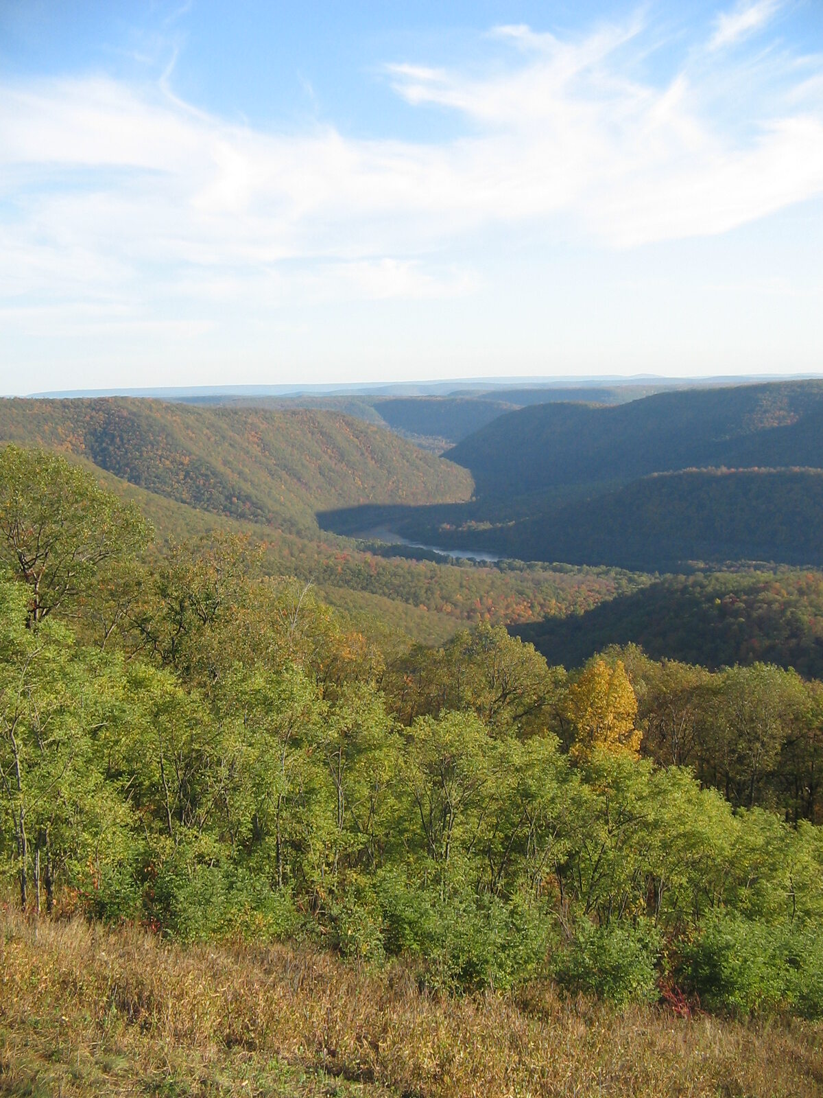
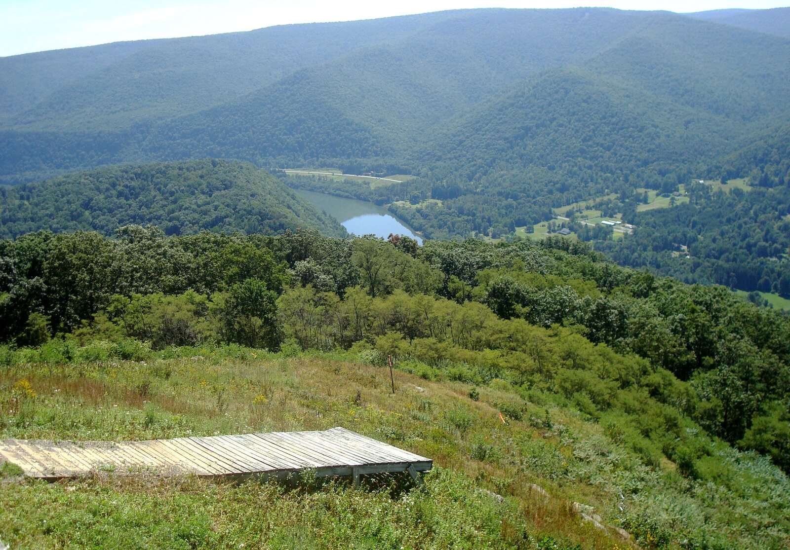
At Hyner View, the West Branch Susquehanna winds through a valley far below the overlook. Forested mountains line the horizon, and the view stretches in both directions along the river. On a suitable day, you might also see hang gliders launch from the mountain, adding a little motion to an already impressive scene.
The stone overlook wall dates to Civilian Conservation Corps work in the 1930s. Today, visitors can drive up Hyner View Road to the small state park, then spend time at the vista and picnic area. The launch area is for approved pilots, so give them space and watch from the designated visitor areas.
The drive is part of the experience. Roads wind through mountainous country, and one alternate route described by the state uses unpaved forest roads. Check weather and road conditions, especially in winter, and download directions before leaving an area with reliable cell service.
Consider pairing the overlook with a stop at nearby Hyner Run State Park. The two parks share a name but offer different experiences: one is known for the high view, the other for time down in the valley. Check hours and facilities before planning a longer day.
2. High Knob Overlook — Loyalsock State Forest
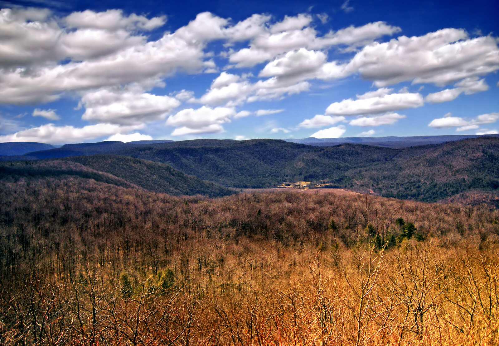
High Knob offers a broad look across the forested hills of the Loyalsock region. Pennsylvania's Department of Conservation and Natural Resources says the view can extend nearly 25 miles, depending on visibility. The overlook is especially appealing when mountain laurel blooms or autumn color spreads across the slopes, although neither spectacle follows an exact annual calendar.
This is High Knob in Loyalsock State Forest in Sullivan County, not one of the other places with the same name. Use the state forest map and confirm your destination before setting out. The drive may take you onto forest roads where surface conditions and winter maintenance differ from those on main highways.
Worlds End State Park and other Loyalsock overlooks are within the wider region, making it possible to build a day around more than one view. Distances on a map can be deceptive on winding roads, however, so leave room in the schedule and avoid trying to fit every vista into a single afternoon.
At the overlook, stay on established paths and give others room near the edge. A clear day may offer the longest view; mist and clouds can create an entirely different landscape, even if distant ridges disappear.
3. Rimrock Overlook — Allegheny National Forest
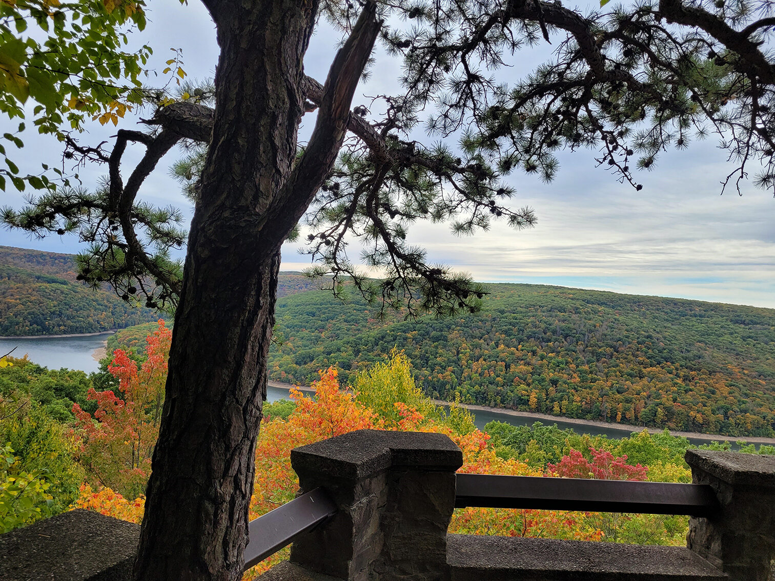
Rimrock looks out over the Allegheny Reservoir and the wooded hills around Kinzua Bay. Water gives this panorama a different character from the ridges and valleys farther east, and the rock formations around the overlook invite a closer look.
There is a developed overlook area, and the Forest Service also describes a 1.3-mile trail connecting Kinzua Beach and Rimrock. That distance is one way: hikers planning to return by the same route should account for the full out-and-back distance and the moderate-to-steep sections near the overlook. Check the map to distinguish the hiking route from the parking access road.
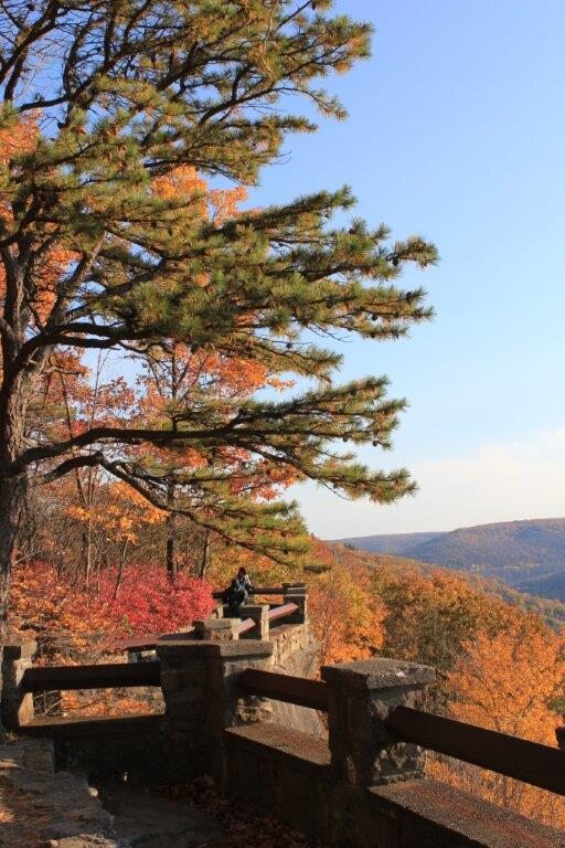
The reservoir and Kinzua Dam are also part of a difficult history. Construction flooded Seneca land and communities in the 1960s despite treaty protections. The view is beautiful, and it is worth learning about the people and places displaced by the project as part of the visit.
Cell service can be limited in the national forest, and seasonal conditions affect roads and facilities. Check current Forest Service information, carry what you need and stay away from exposed rock edges, particularly when surfaces are wet or icy.
4. Pinnacle Scenic Overlook — Lancaster County
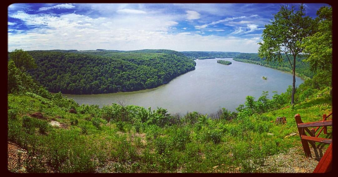
Above the lower Susquehanna River, Pinnacle Scenic Overlook opens onto a wide river valley marked by islands, wooded slopes and changing light. The site is part of Susquehannock State Park, following a land transfer from Lancaster Conservancy to the state in 2022.
Parking and picnic facilities make the overlook suitable for a shorter stop, while trails connect to a larger network for hikers seeking more. These are not all gentle paths: the Lancaster Conservancy describes sections of the network as moderate or difficult, so look at the route and elevation before choosing a hike.
This is a place to slow down rather than measure the visit by mileage. Watch how the afternoon light changes the river, bring binoculars for a closer view of the landscape, and leave enough time to find your way back before dusk.
The cliffs and rock outcrops are part of the appeal and also a reason to keep a safe distance from the edge. Stay on open, marked routes, respect neighboring property and check current park notices before linking the overlook to a longer hike.
5. Mount Davis — Somerset County
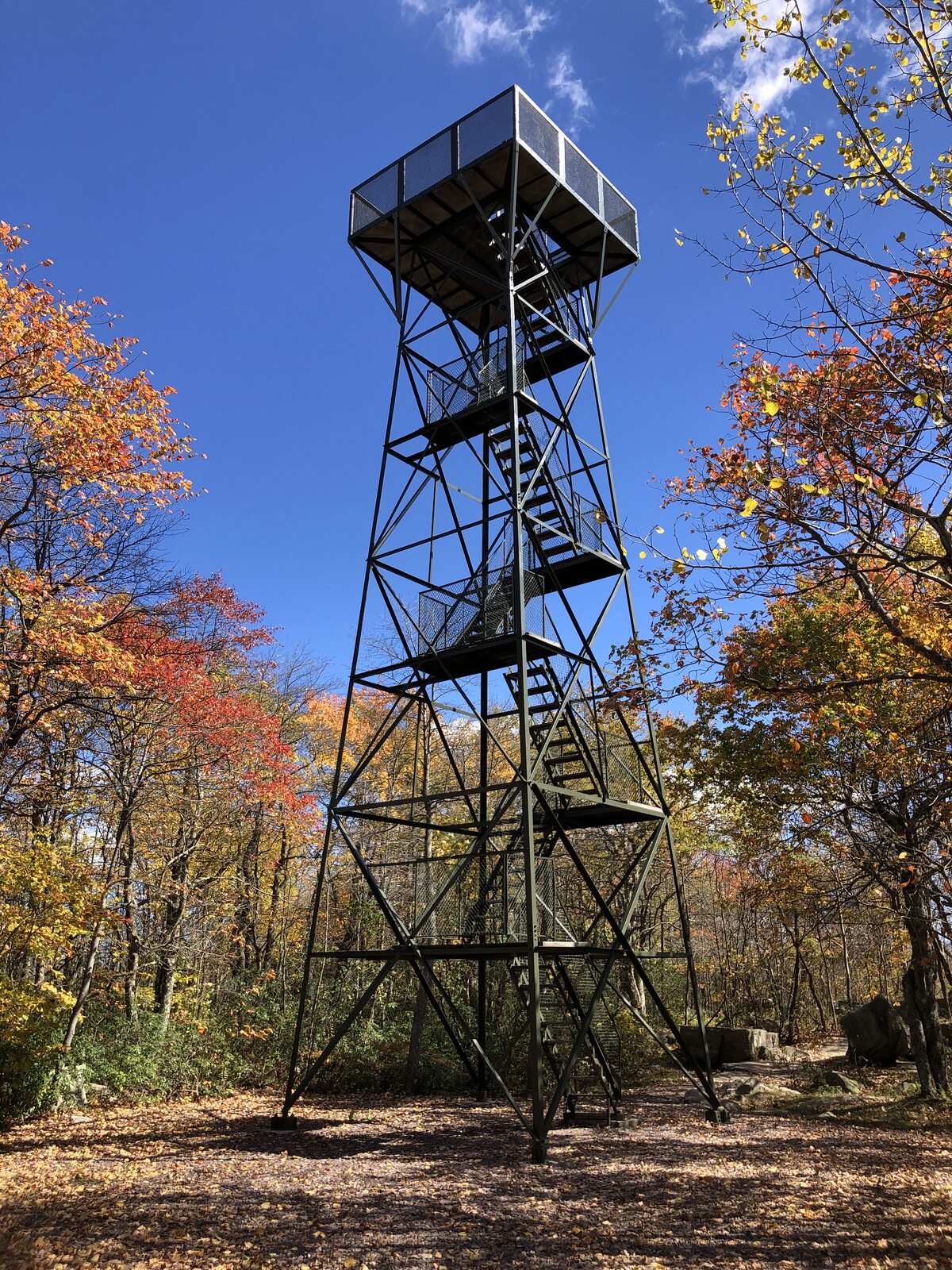
Pennsylvania's highest natural point is not a dramatic, treeless summit. Mount Davis rises to 3,213 feet within Forbes State Forest, and the surrounding woods mean the observation tower is the key to a broad view above the trees.
The high point and tower make an engaging destination even for people who aren't chasing a difficult summit. State forest trails connect the area with a picnic site and other parts of the natural area, so visitors can choose between a shorter stop and a longer walk. The tower involves stairs; check directly with the forest district if you need details about access.
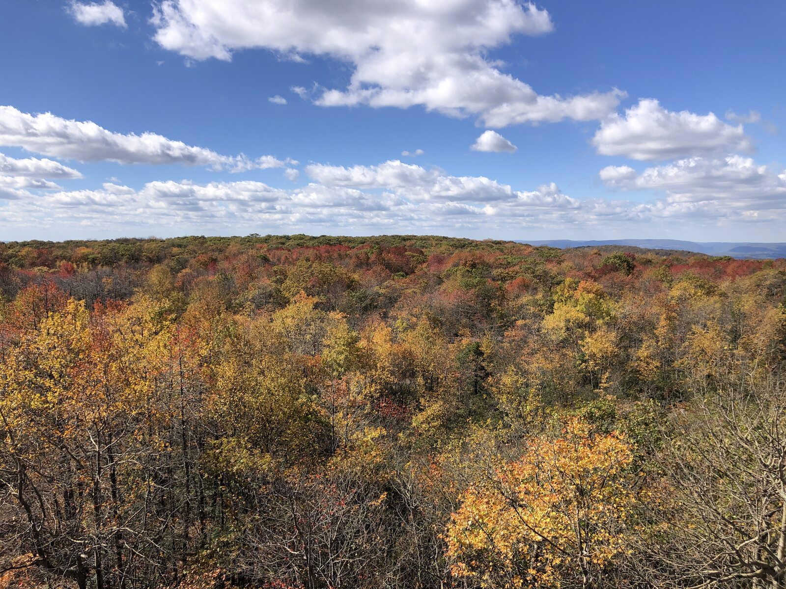
In late October 2026, the state highlighted improvements including a refurbished tower, updated signs, and road and parking work. Conditions and access can still change, particularly during winter weather, so consult the latest forest information rather than assuming a clear road or an open tower.
The appeal here is partly the contrast between the modest wooded summit and its distinction as the top of the state. Climb only if the structure is open and conditions are suitable, then take a moment to look across the rolling high country.
6. Hawk Mountain Sanctuary — Berks and Schuylkill counties
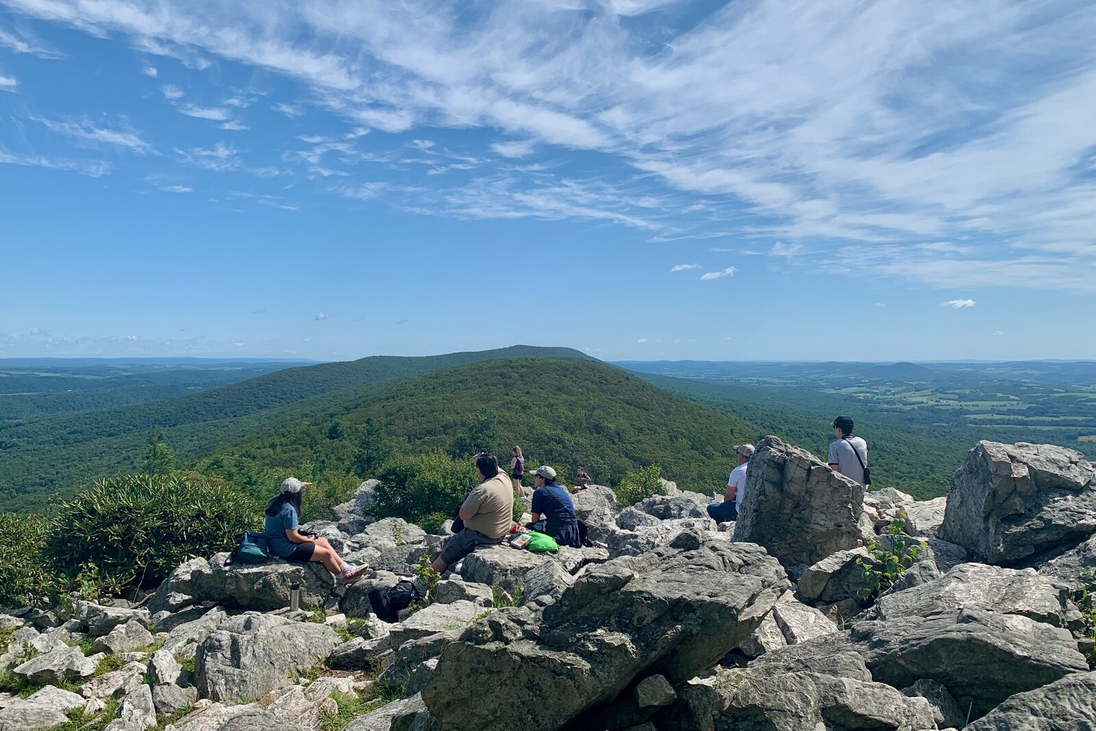
Hawk Mountain adds the possibility of wildlife to a ridge-top view. During migration, observers watch for hawks, eagles and other raptors moving along the Kittatinny Ridge. Birds follow their own schedules, influenced by weather and wind, so a sighting is never guaranteed.
The sanctuary's North Lookout is a famous place to watch the sky, but reaching and moving around it requires travel over rocky terrain; the lookout itself includes boulders that require scrambling. Wear appropriate shoes and select a route for the least experienced member of the group.
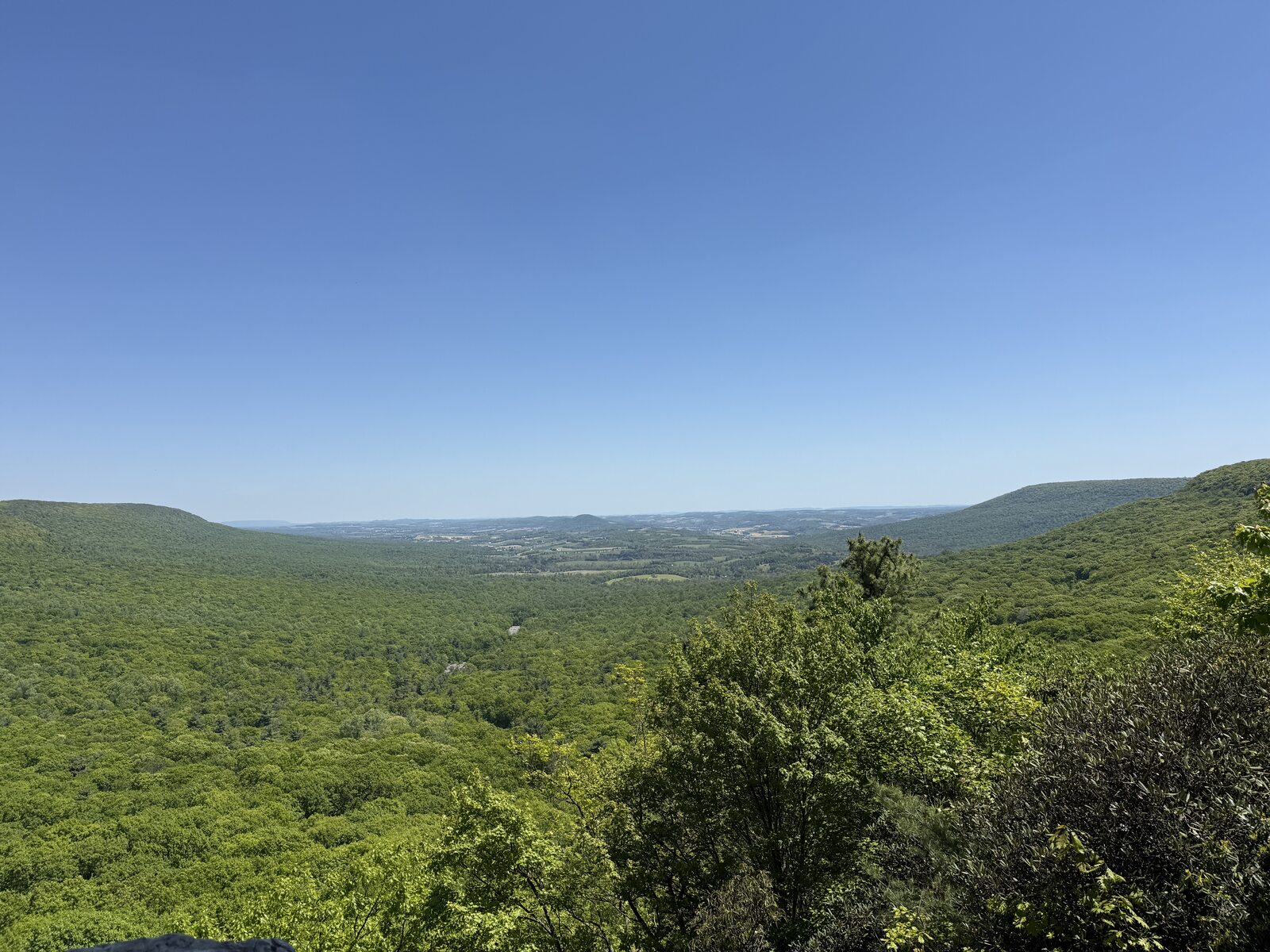
For an alternative, the sanctuary's accessible Silhouette Trail leads to South Lookout. The two viewpoints and routes are different experiences, and the sanctuary can provide the most current accessibility details. Trail admission fees apply to nonmembers; check hours, fees and any temporary trail restrictions before arrival.
Bring binoculars if you have them, but don't forget to look at the landscape below as well as the sky. Even on a quiet migration day, the ridges and valleys explain why this is a place people return to year after year.
Make the view the beginning, not the whole schedule
An overlook can be a quick stop or the reason to spend a day in a new part of Pennsylvania. Check weather, hunting-season guidance, road conditions and daylight before leaving, and choose established viewpoints that fit your group. The most memorable part may be the extra time you give yourself to notice what is below.


