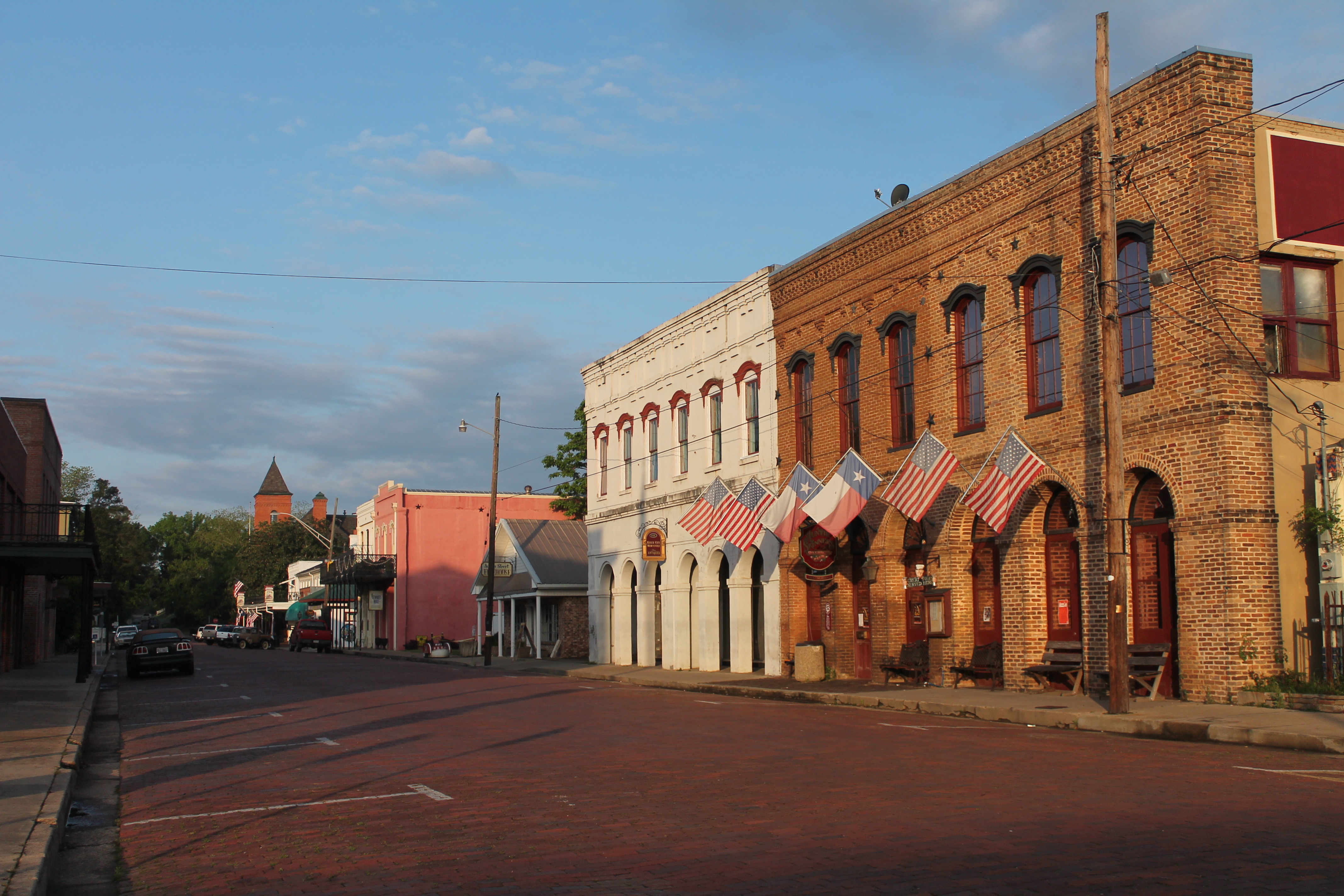
The next remarkable Texas landscape might be a canyon, a cypress-lined bayou or a field of wind-shaped sand. The distances between them are real, but so are the rewards for choosing one region and giving it more than a quick stop.
These eight state parks and natural areas offer different ways to experience Texas outdoors. They are not ranked or intended as a single road trip. Check park alerts and reserve your visit when appropriate; weather and trail conditions can change the best-laid plans.
1. Palo Duro Canyon: A Panhandle Landscape in Layers

South of Amarillo, Palo Duro Canyon reveals bands of color and sculpted formations that look different from the rim and the canyon floor. Begin at the visitor center for an overview, then choose a trail or scenic stop that fits the weather and your available time.
Texas Parks and Wildlife says the park has more than 30 miles of trails for hiking, biking and horseback riding. Some routes are challenging, and the exposed canyon can become dangerously hot. Bring plenty of water, wear sun protection and avoid assuming a short-looking route will feel easy in the heat.

The park often reaches capacity and recommends reservations for day visits and camping. Trails can close after rain or during excessive heat, so confirm their status before leaving. An all-terrain wheelchair is available to reserve through the park; ask about conditions and suitable routes.
2. Caprock Canyons: Red Rock and the Texas State Bison Herd

Caprock Canyons State Park and Trailway combines dramatic canyon scenery with the opportunity to observe the Texas State Bison Herd. A scenic drive or a stop at an overlook can introduce the landscape before you commit to a longer hike.
The animals are wild, and they have the right of way on park roads. Texas Parks and Wildlife advises staying at least 50 yards away from bison and leaving if your presence changes their behavior. Bring binoculars or a long lens rather than approaching for a closer picture.

Trails range from easier walks to demanding canyon routes, while Lake Theo offers another setting for a picnic or water activity. Check current trail and weather notices, carry water and choose a route for your group's experience. The park and its separate Trailway cover a large area, so review the map before setting out.
3. Caddo Lake: Cypress Trees and Quiet Waterways

Caddo Lake State Park offers a very different Texas scene. Bald cypress trees draped with Spanish moss rise over Big Cypress Bayou and its connected waterways, inviting a slow look from shore or a paddle suited to your experience.
The park offers canoe rentals and access to Saw Mill Pond and Big Cypress Bayou. Before launching, ask staff about routes, water conditions and navigation; the wider lake and bayou system can be confusing. Bring a life jacket and a plan, and keep a respectful distance from wildlife.

Alligators live in the park. Do not feed or approach them, and follow posted safety guidance. If paddling isn't for you, forest trails, picnic areas and historic cabins offer other ways to spend time here. Check cabin and campsite availability well ahead for popular dates.
4. Enchanted Rock: A Granite Dome Above the Hill Country

The pink granite dome at Enchanted Rock State Natural Area makes a striking first impression, but the landscape around its base deserves time too. Choose between a summit climb and trails that explore the surrounding rock formations and Hill Country views.
The Summit Trail is challenging, and elevated areas may close in wet weather. The park's trail guide describes sensitive seasonal pools on top of the rock; leave them and their inhabitants undisturbed. Carry drinking water and wear footwear that gives you confidence on exposed rock.

Pet access is limited to designated areas and certain trails, so check the current park rules before bringing a dog; pets are not permitted on the Summit Trail. Reservations are recommended to guarantee entry, especially during busy periods. Confirm the date and trail status before you drive out.
5. Monahans Sandhills: A Landscape Shaped by Wind

At Monahans Sandhills State Park in West Texas, dunes rise and fall across an open landscape. The park has no marked trails, so exploring here calls for a different kind of attention: keep track of where you started and don't wander farther than you can comfortably return.
Sand discs are available to rent from the park when the rental operation is open. Sliding down a dune can be a memorable family activity, but conditions change with wind and weather. Check with staff about rentals, use designated areas responsibly and be considerate of plants and other visitors.

Heat builds quickly on the dunes. Bring water, sun protection and suitable footwear, and choose a cooler part of the day when possible. The Dunagan Visitor Center offers context about the natural and cultural history of the sandhills and a useful stop before heading out.
6. Dinosaur Valley: Footprints in a Riverbed

Near Glen Rose, Dinosaur Valley State Park gives visitors a chance to look for fossilized dinosaur tracks in the bed of the Paluxy River. This isn't a museum display with guaranteed visibility: water levels, sediment and weather affect what can be seen.
Check the park's track and trail updates before visiting, and take care on wet or algae-covered surfaces. Texas Parks and Wildlife provides maps of track sites and also has replica tracks near headquarters, which can be useful when river conditions make the originals difficult to view.

The park has trails as well as the river, so families can make the visit about more than a single footprint. Ask about the park's available assistive chairs and current route access if needed. Reservations are recommended because the park can reach capacity.
7. Garner: A River, Hills and a Dance Tradition
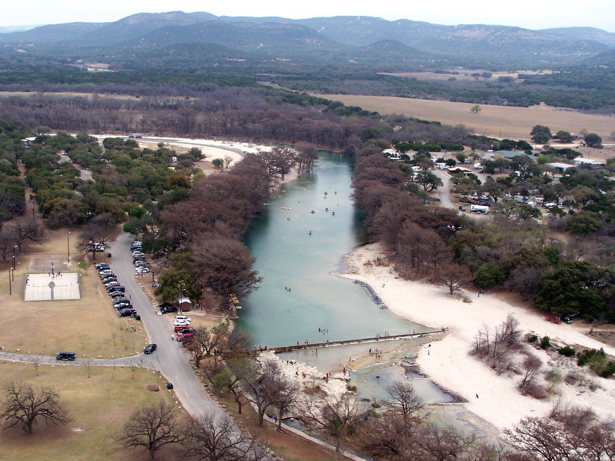
Garner State Park on the Frio River has long brought families together for swimming, hiking and summer evenings at the dance pavilion. Start with a riverbank walk or a picnic, then select a hike that suits the heat and the abilities of everyone in your group.
Swimming and floating depend on river conditions. There are no lifeguards on duty, so supervise children and non-swimmers closely and follow park advice. The jukebox dance is a seasonal tradition; check the current schedule and arrive with a plan for busy parking and gate hours.

As of November 13, 2026, the park lists the Blinn River Trail and portions of nearby trails as closed, and warns that the scenic-overlook sidewalk is closed. Read the latest alerts before choosing your route, since construction and recovery work can change access.
8. Brazos Bend: Wetlands and Wildlife Near Houston

Brazos Bend State Park brings visitors into a landscape of marshes, lakes, prairie and bottomland forest southwest of Houston. The trail system offers opportunities to look for birds and other wildlife without needing to travel far from the metropolitan area.
Alligators live in these wetlands. The park directs visitors to stay at least 30 feet away, stay out of the water and never feed or harass an alligator. Keep children close and pets leashed, and give any animal on or near a trail space to move.

Choose a route using the current trail map and check conditions before leaving. The park lists the Creekfield Lake ADA Trail among its options and offers accessibility chairs that can be reserved. Ask staff about the route and equipment that best fit your needs.
Before You Go
Check Texas Parks and Wildlife for current reservations, fees, road and trail closures, weather and accessibility details. Distances between these parks are substantial. Carry sufficient water, respect wildlife, leave plants and fossils in place, and turn around when heat, storms or trail conditions make a route unsafe.