California’s national parks do not offer just one kind of trip. A day might begin beneath enormous sequoias, cross a quiet desert valley, or require a boat ride to an island with no shops. The distances between these places are substantial, but each offers a reason to slow down and pay attention to a different landscape.
These seven park experiences are starting points, not a single road-trip itinerary. Check the National Park Service’s current alerts for your chosen park, carry the supplies your route requires and make reservations where needed. Roads, trails and services can change with snow, flooding, fire, wildlife protection and weather.
1. Yosemite National Park: Take in the valley from Tunnel View
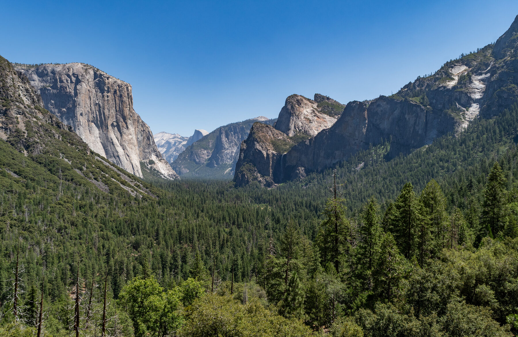
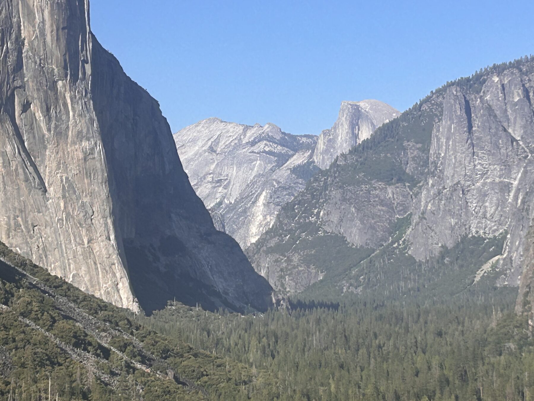
Tunnel View provides one of the most recognizable introductions to Yosemite Valley. From the Wawona Road overlook, El Capitan stands to the left, Bridalveil Fall to the right and Half Dome appears farther away. It is a scene worth giving more than the time it takes to take a photograph.
The view is a starting point, not the whole park. If conditions and parking allow, consider a valley walk or a visit to Bridalveil Fall. The National Park Service describes a paved route from the Wawona Road parking area to the fall, with a wheelchair-accessible viewing platform partway along; the grade increases beyond it. Spray, ice and slick rocks can change the experience, so remain on the trail and behind barriers.
Yosemite Valley and Wawona generally remain reachable by car year-round, though storms and chain requirements can affect travel. High-country routes have a different calendar. Tioga Road commonly closes for winter, and services and overnight parking restrictions can begin before the road closes. Check current road conditions before choosing an approach from the east.
Yosemite announced it would not use a timed-entry reservation system in 2026, but that does not guarantee easy parking or replace separate lodging, camping or wilderness requirements. Check the park’s latest rules for your travel dates, and build time into the day for queues and changing weather.
2. Sequoia National Park: Meet the giants in the Giant Forest
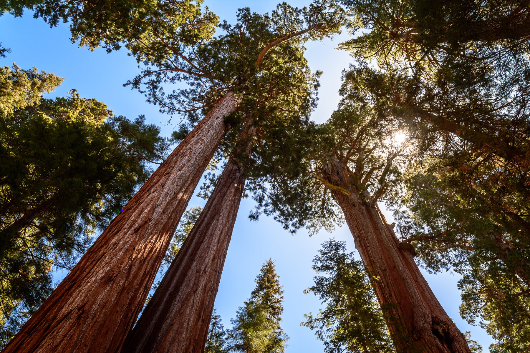
The General Sherman Tree is often the name that brings visitors to Sequoia’s Giant Forest, but the grove itself is the larger experience. Walking among mature giant sequoias gives a sense of scale that is difficult to take in from a single viewpoint. Keep your eyes on the whole forest as well as on its most famous tree.
The park identifies General Sherman as the world’s largest tree by trunk volume. From the main parking area, a paved trail descends about half a mile to the tree, with some stairs; the return is uphill at elevation. The accessible trail and parking area along Generals Highway offer a shorter route under the park’s parking rules. Check the current page and ask a ranger which option fits your group.
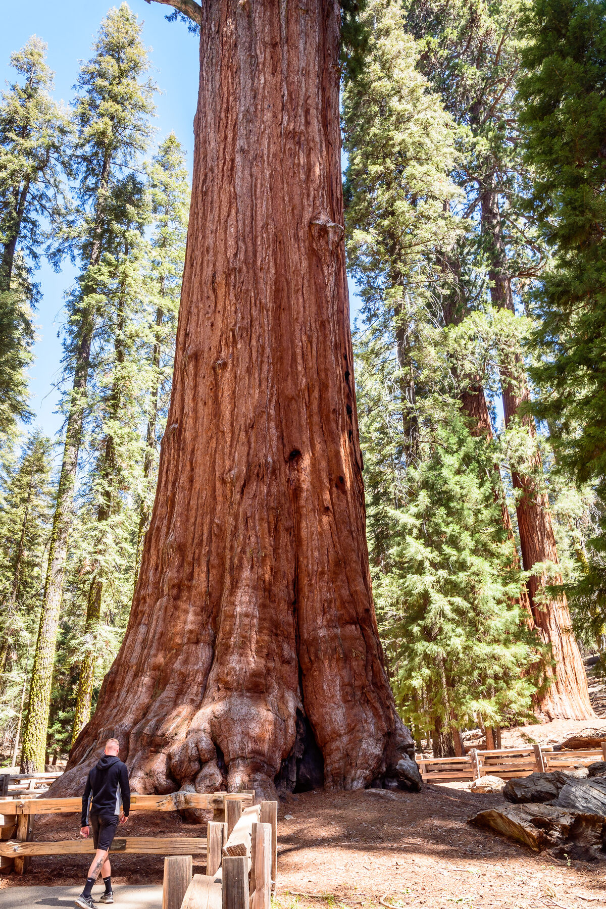
Snow changes the plan. The main parking area can close when snow accumulates, and the accessible parking area then serves all visitors. Even the shorter trail can be icy. In November 2026, the park’s road conditions page warned that all vehicles, including four-wheel-drive and all-wheel-drive vehicles, needed to carry tire traction devices in affected areas. Confirm the latest chain controls before you drive.
Stay behind fences protecting the trees’ shallow roots. If you have more time, ask about open Giant Forest trails, current shuttle service and seasonal closures. The aim is not to collect the most stops; it is to make room for an unhurried walk among the trees.
3. Joshua Tree National Park: Walk among the rocks at Hidden Valley
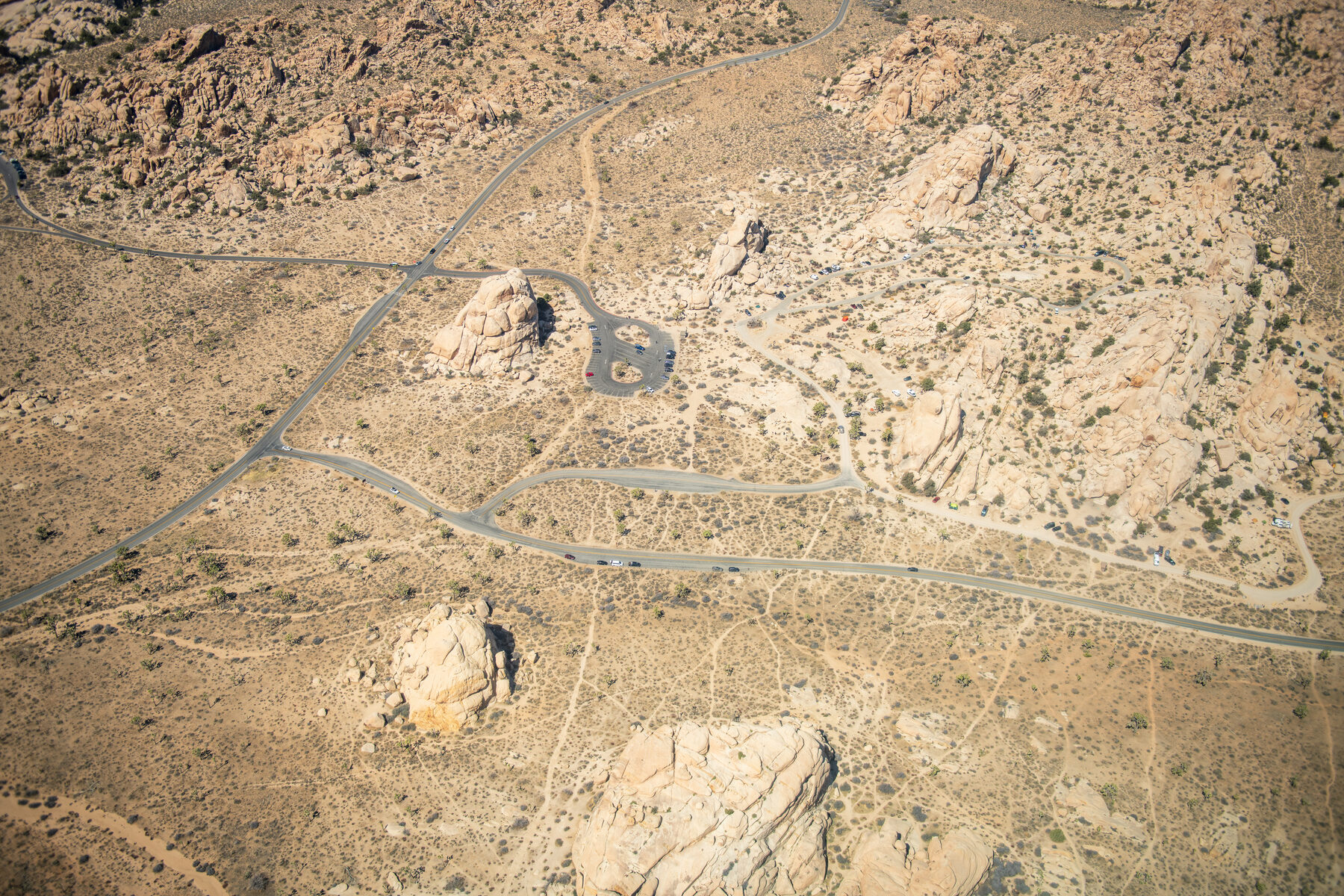
At Hidden Valley, weathered boulders surround a small desert basin, and the trail threads among plants and stone formations. The National Park Service describes the loop as roughly one mile, beginning near the Hidden Valley picnic area. Interpretive signs help explain the plants and wildlife along the way.
Do not let a short mileage figure substitute for a weather check. The route has little shade, no reliable cell service and uneven terrain that can include sand, gravel, rocks and steep sections. Carry water, tell someone your plans and turn around when conditions exceed your group’s comfort or experience. Summer heat can make even a modest walk dangerous.
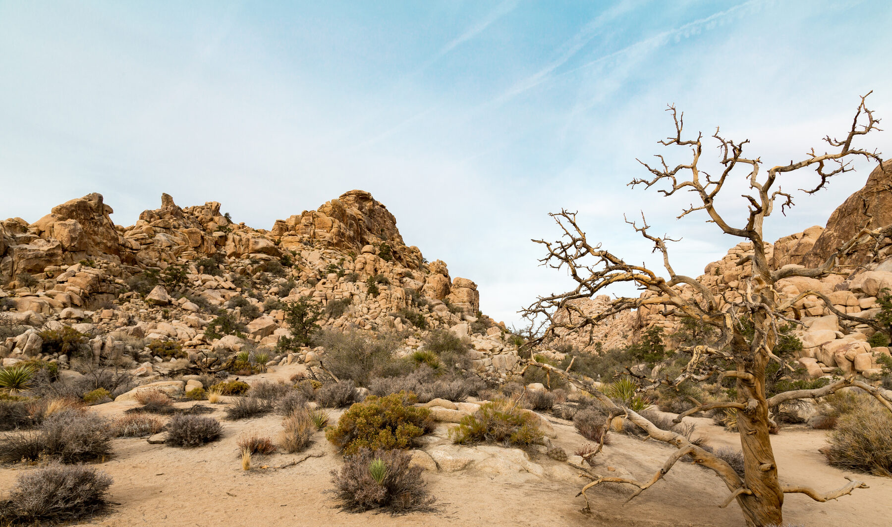
Joshua trees are part of a wider desert community, not objects to climb or disturb. Stay on established routes, give wildlife space and keep food and trash secure. The park does not allow pets on the Hidden Valley trail; service animals are permitted under park rules. Check the current trail page for details before arriving with an animal.
The picnic area can make a useful pause, but services are limited in many parts of the park. Bring what you need rather than assuming a shop or water tap will be nearby. A cool morning, a careful pace and time to notice the rock shapes can make this a particularly satisfying introduction to the park.
4. Death Valley National Park: See the salt flats at Badwater Basin
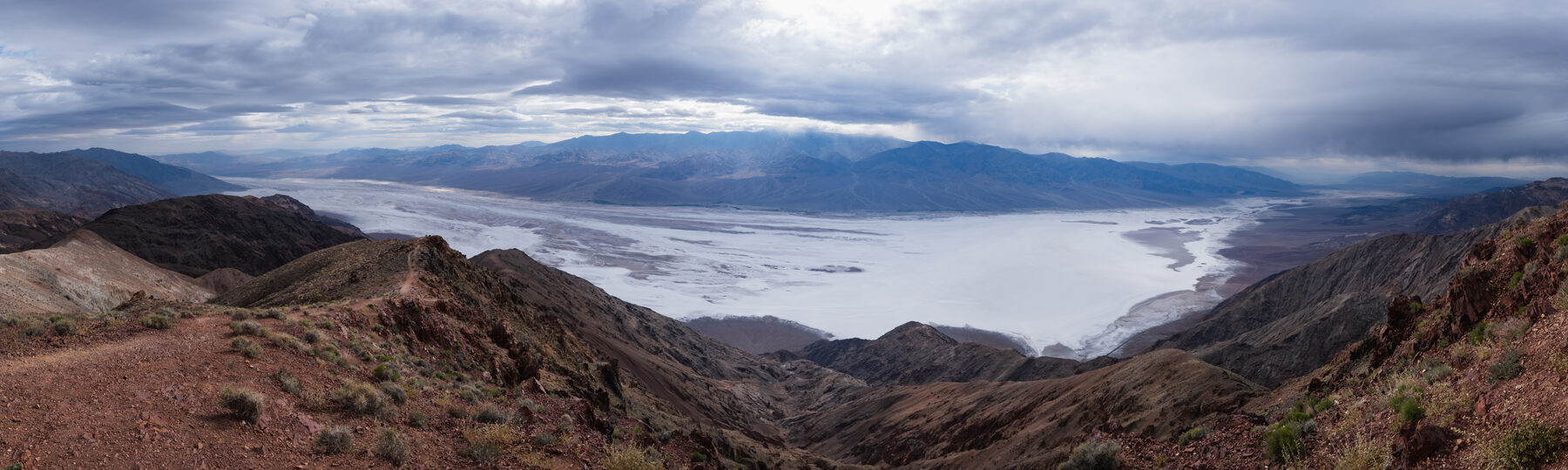
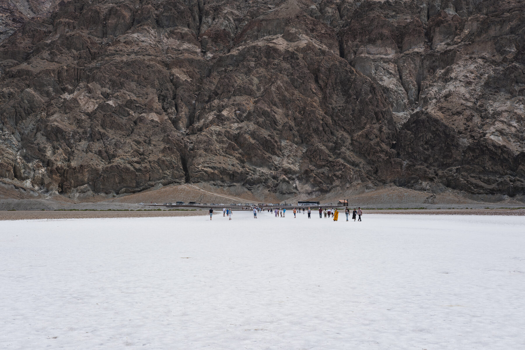
Badwater Basin sits about 282 feet below sea level, surrounded by mountains and a broad expanse of salt flats. The boardwalk and nearby viewing area make it possible to appreciate the setting without committing to a long hike across the basin. Scale can be deceptive here: the far side of the flats is much farther away than it may appear.
The park describes a ramp and boardwalk to the edge of Badwater Pool, with a ramp toward the flats. The salt surface is not a smooth sidewalk; there can be holes, rough patches and mud after rain. Check current accessibility information and stop where the surface or weather no longer suits your group. Bring water even for a short visit.
Heat is a serious planning factor. Temperatures can become extreme, and the park is large enough that fuel, food and assistance may be far apart. Favor cooler conditions, avoid demanding walks in heat, carry extra water and do not rely solely on a phone signal. Rain can also close or damage roads and create flash-flood danger.
Before traveling, review the park’s current road-status map. Death Valley’s remote routes vary greatly in condition, and a navigation app cannot guarantee a road is passable. Stick to a route appropriate for your vehicle and the current weather, and let someone know your plan.
5. Pinnacles National Park: Explore the Bear Gulch area
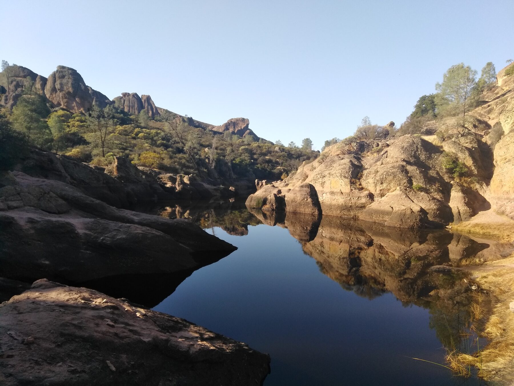
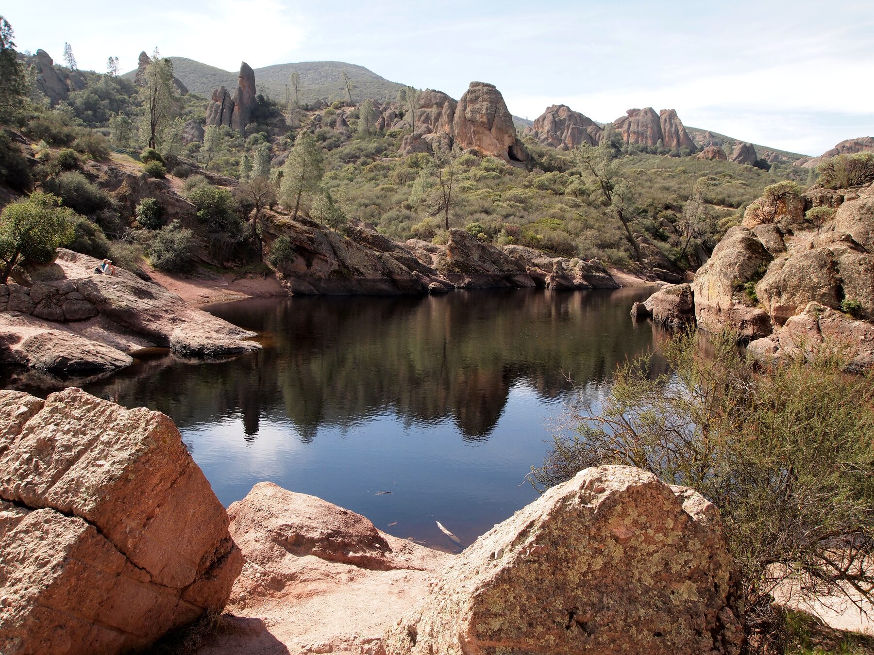
Pinnacles is a place of rock formations, narrow passages and wildlife. In the Bear Gulch area on the park’s east side, trails lead toward a reservoir and a talus cave formed among fallen boulders. The cave can add a sense of adventure, but it is only one part of the landscape and is not always open.
As of the National Park Service update dated November 2, 2026, the lower Bear Gulch Cave was open and the upper cave was closed. The two sections may operate independently, and closures can change for weather, rockfall or the protection of Townsend’s big-eared bats. Check the current cave-status page immediately before visiting and obey gates and posted signs.
Bring a flashlight if you plan to enter an open cave, wear shoes suited to uneven steps and consider whether a dark, confined route is comfortable for everyone in your group. A trail outside the cave can offer a different experience when the cave is closed or is not a good fit. Ask a ranger for current alternatives.
One detail can save a long detour: no road connects the park’s east and west entrances through the park. Choose the entrance for the experience you want before leaving home. Heat can also make trails demanding, so carry water and check the forecast even if the day starts cool.
6. Channel Islands National Park: Plan a day at Scorpion Anchorage
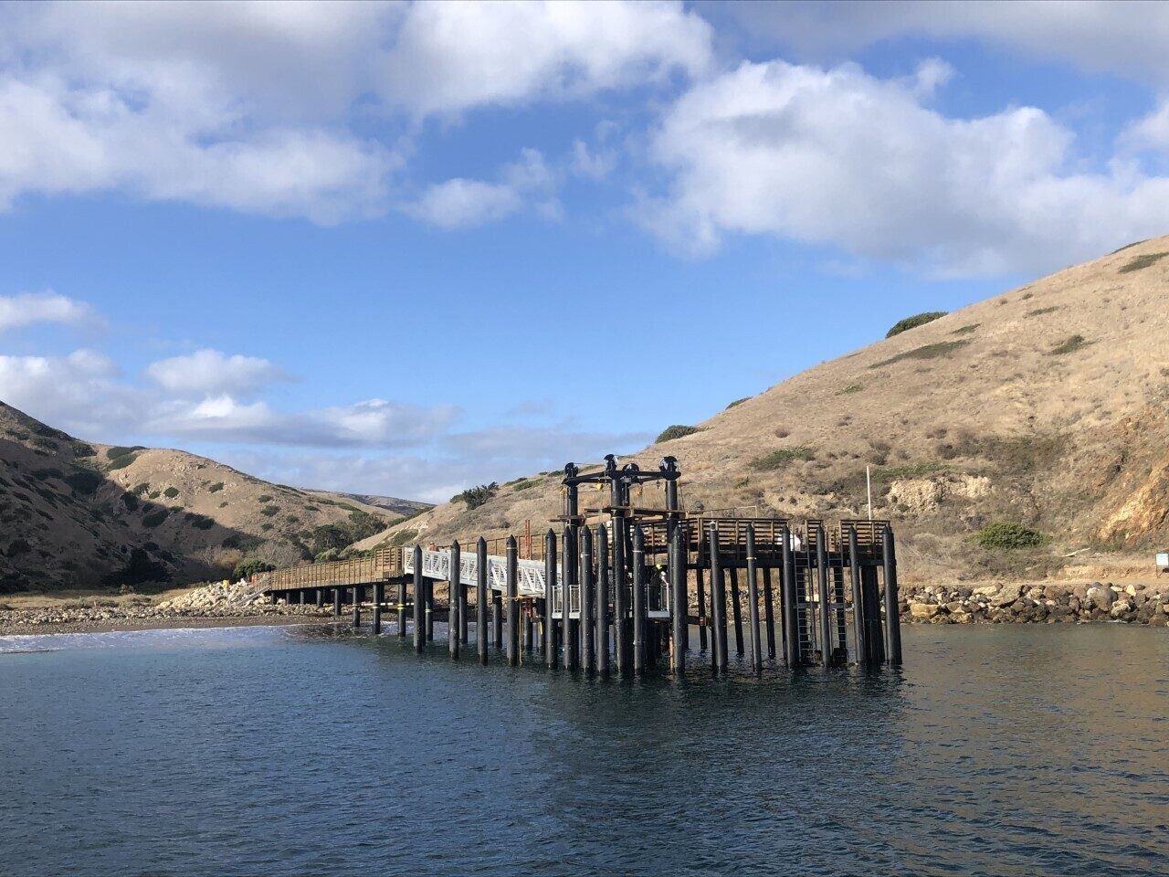
The Channel Islands invite a different kind of preparation. Scorpion Anchorage on Santa Cruz Island is reached by water, so the trip begins with a boat reservation or appropriate private boating plan rather than a drive to a trailhead. Schedules and sea conditions shape how much time you will actually have ashore.
The park’s islands have no food stores or gear-rental shops. Bring the food, water and clothing needed for the full trip, and reserve any equipment on the mainland. Cell service is unreliable, so download information and keep your return arrangements handy before leaving the coast. Check the concessioner’s schedule and the park’s current conditions, including landing and trail notices.
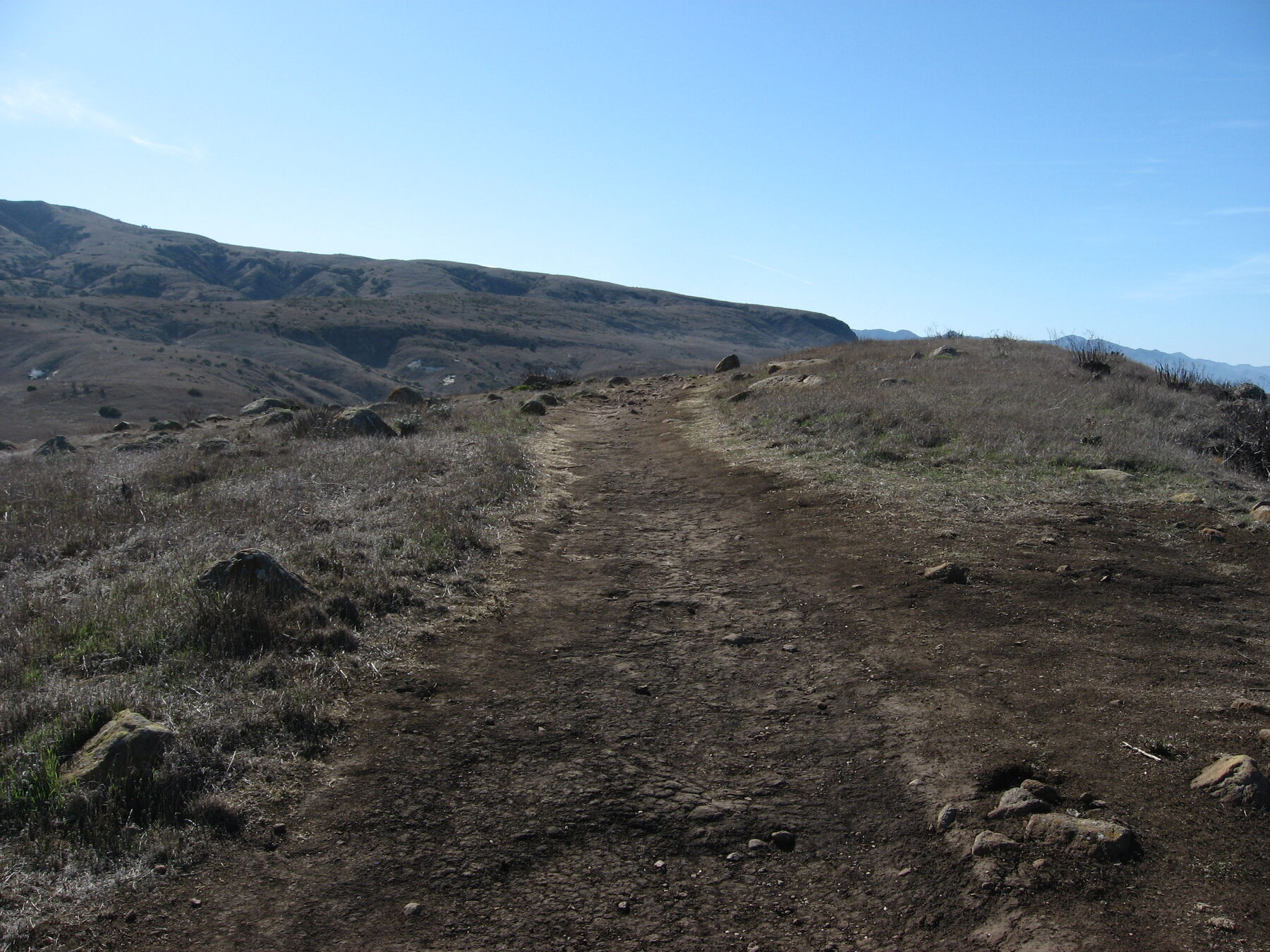
Once ashore, choose a walk that fits the time between arrival and departure. A shorter outing with time to look at the shoreline and recover from the boat ride can be more enjoyable than a rushed attempt to reach the farthest viewpoint. Trails can be exposed, and landing arrangements may be challenging for some visitors; contact the transportation provider and the park about access needs in advance.
The islands are home to sensitive wildlife and plants. Stay on designated routes, keep a respectful distance and pack out trash. If you plan to camp or take a guided water activity, arrange it separately and check the relevant permits and rules before booking transportation.
7. Lassen Volcanic National Park: See Manzanita Lake and the volcanic landscape
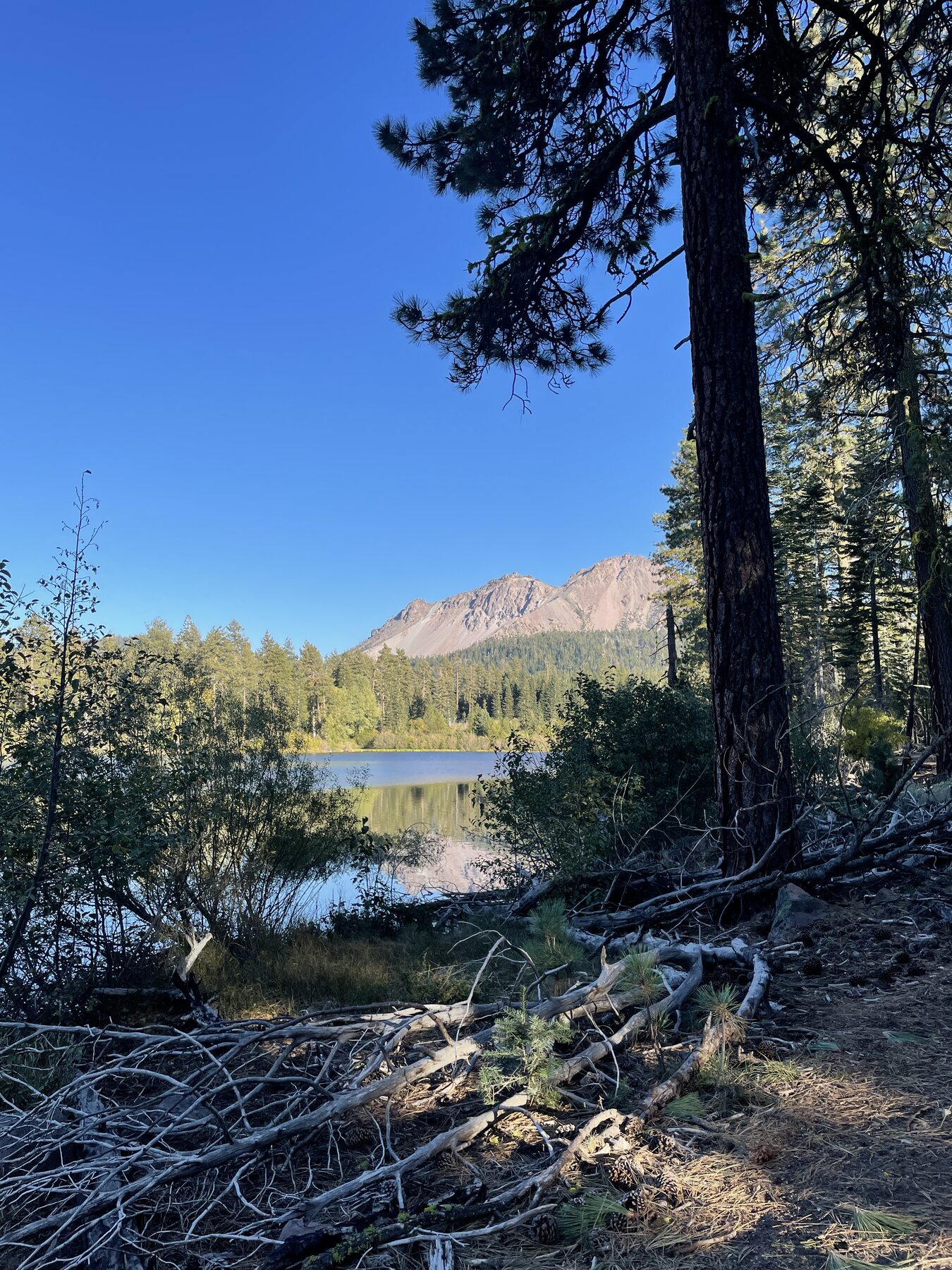
Lassen Volcanic National Park offers mountain scenery shaped by volcanic activity. Manzanita Lake is a good place to begin considering the park’s contrasts: water, forest and views toward volcanic peaks can make a short stop worthwhile even when a longer hike is not on the agenda.
The park’s seasons are especially important. Snow can close high-country roads and trails for months, and opening dates vary with the year. As of the park’s current southwest trail listing, the Bumpass Hell trail was closed because of seasonal snowpack. Do not assume a hydrothermal trail is accessible simply because a summer photograph shows a clear boardwalk.
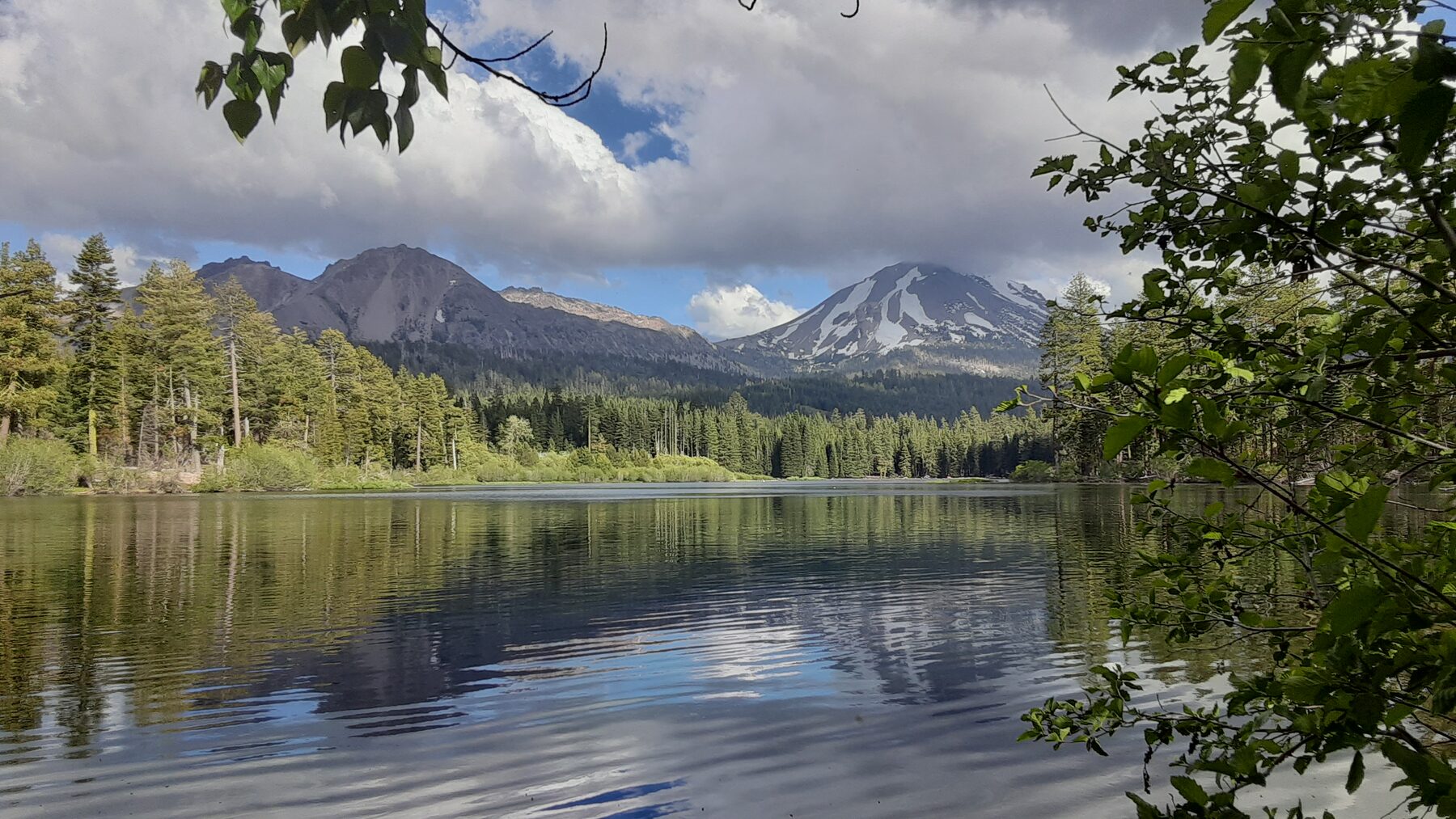
If the road or trail you wanted is closed, check the park’s current conditions for open alternatives rather than entering a signed closure. Hydrothermal areas have fragile ground and hot water: stay on designated boardwalks and trails and follow the park’s safety guidance. For a shore visit at Manzanita Lake, verify access, services and seasonal regulations before traveling.
Wildfire has also changed parts of the park. Some trails pass through areas affected by the Dixie Fire, where hazards can remain. Ask rangers about your chosen route, carry layers for mountain weather and leave enough daylight for the return. A flexible itinerary is especially useful here.
Before you go
These parks cover deserts, mountains, forests and islands. Their entrance rules, fees, transportation options and weather can differ sharply, so use the official page for the specific park and date you have chosen. Check road and trail alerts shortly before departure, reserve lodging or transportation when appropriate, and bring enough water and equipment for the actual conditions.
The best first stop is the one you can enjoy safely and without rushing. Leave room in the schedule to watch the light change, read a wayside or simply stand quietly in a place that looks unlike the last one.