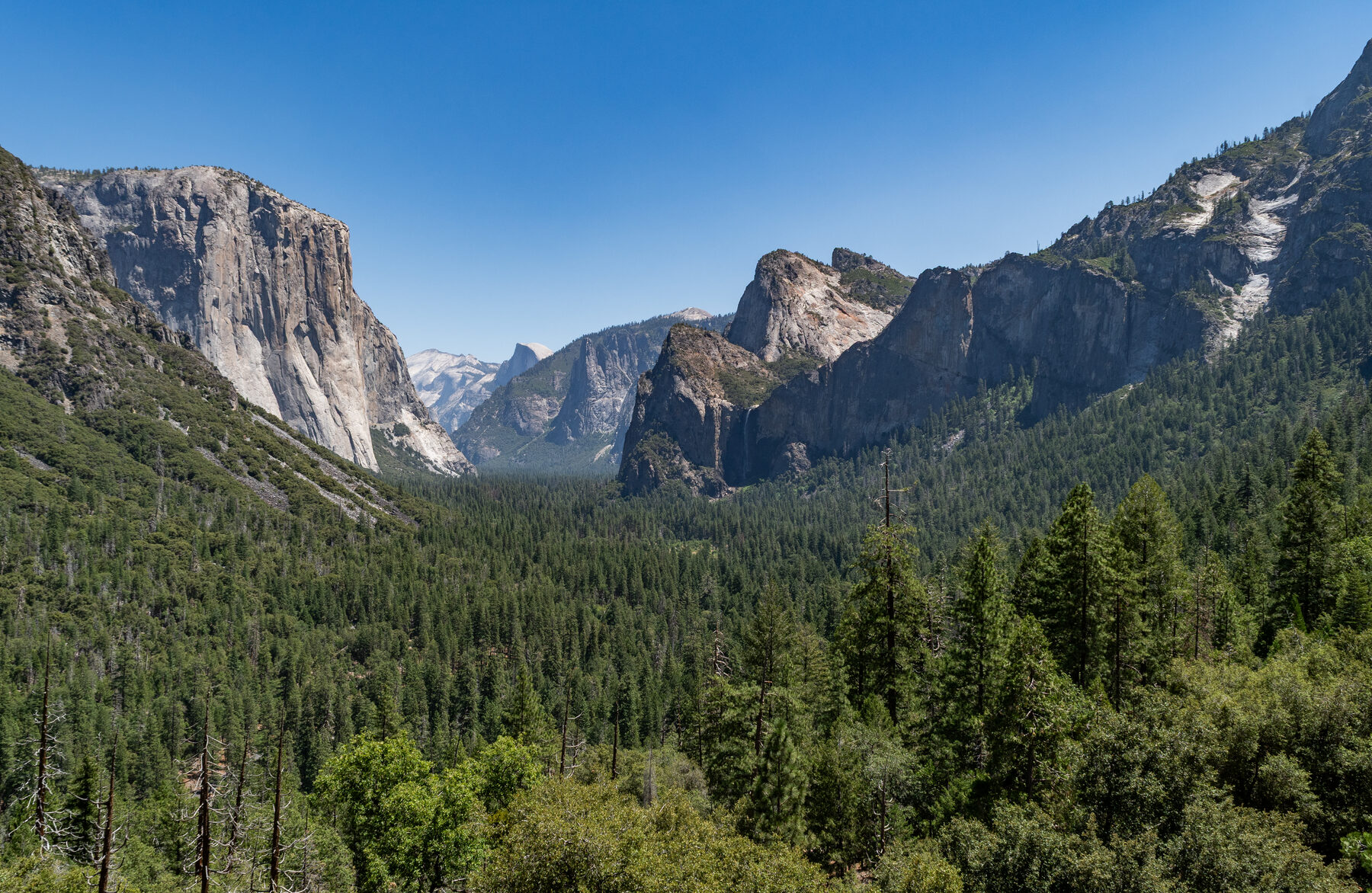
California's waterfalls don't all ask for the same kind of day. One appears beyond a short paved walk in a famous valley. Another hides in a northern forest, and another calls for a seasonal trip into the eastern Sierra.
These six destinations offer a mix of easy viewpoints and more demanding outings. They are spread across a large state, so choose one or two as the focus of a trip rather than trying to connect them all. Flow, weather, road access and trail conditions vary widely; check the managing agency's current notices before leaving home.
1. Lower Yosemite Fall — Yosemite National Park
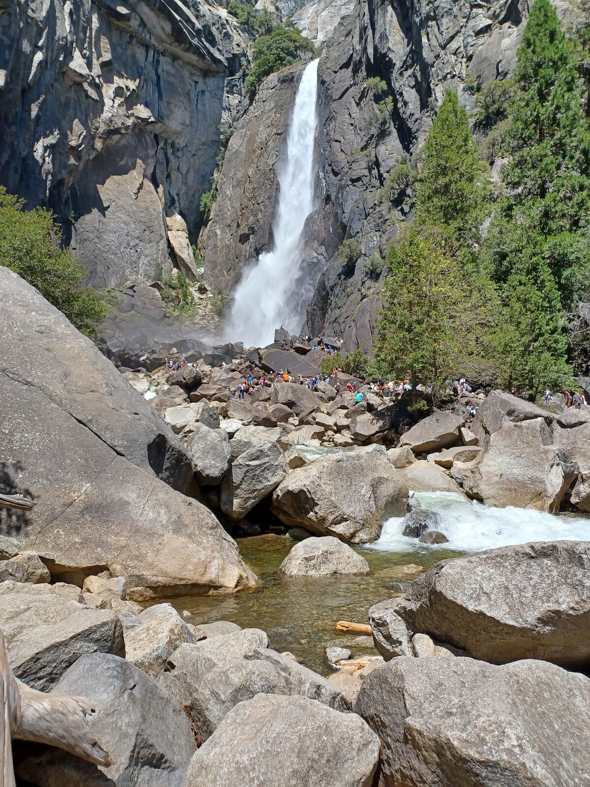
In spring, Yosemite Falls can make itself heard before you reach the viewing area. Water tumbles down the granite cliffs above Yosemite Valley, and the final drop is the focus of the Lower Yosemite Fall loop.
The National Park Service describes the loop as about one mile, with roughly 50 feet of elevation gain. It is a very different outing from the steep, strenuous trail to the top of Yosemite Falls. The eastern part of the lower loop is wheelchair accessible when not covered by ice or snow; check conditions if accessibility is important to your visit.
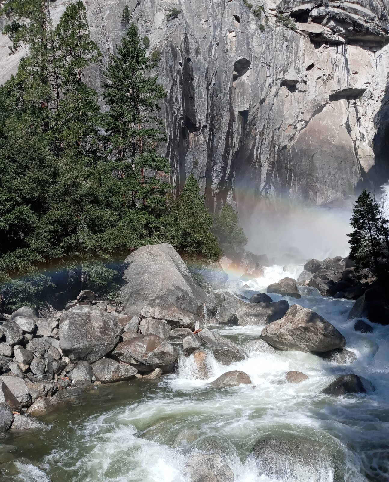
Timing matters as much as distance. Snowmelt usually makes spring and early summer the dramatic season, while Yosemite Falls is often dry from late summer into autumn. A fall visit can still bring a beautiful valley walk, but it may not deliver the roaring waterfall in a favorite photograph.
Stay on the designated trail and bridge. The boulders above the bridge are slippery even when dry, and scrambling there has caused serious injuries. Parking is not at the trailhead; plan a walk or park shuttle connection and allow extra time on busy days.
2. Burney Falls — McArthur-Burney Falls Memorial State Park
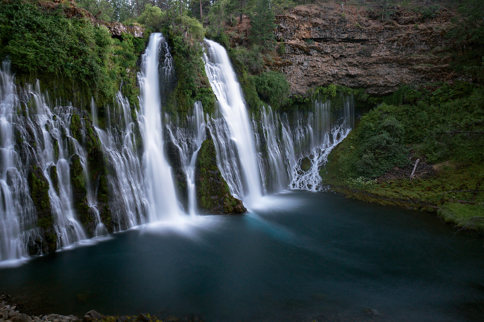
Burney Falls has a look all its own. Water pours over the main drop while springs emerge from the rock face, creating a wide curtain of streams that seems to fill the cliff. The state park lists the waterfall at 129 feet.
The main overlook provides a view without requiring a long wilderness hike, making the park a useful choice when a group has different walking abilities. Trails descend toward the falls and connect with other routes, but don't assume that every section of a loop is available simply because the park is open.
As of November 15, 2026, California State Parks lists trail closures at the park; its notice specifically identifies a section of Burney Creek Trail affected by erosion. Review the current map and notices before choosing a route. The park also required day-use reservations during summer 2026, a reminder to check the rules for your own dates rather than relying on an old trip report.
Northern California weather changes quickly with elevation and season. Bring layers, stay on open trails and give other visitors room at the overlook. The view is worth lingering over rather than rushing past.
3. Middle McCloud Falls — Shasta-Trinity National Forest
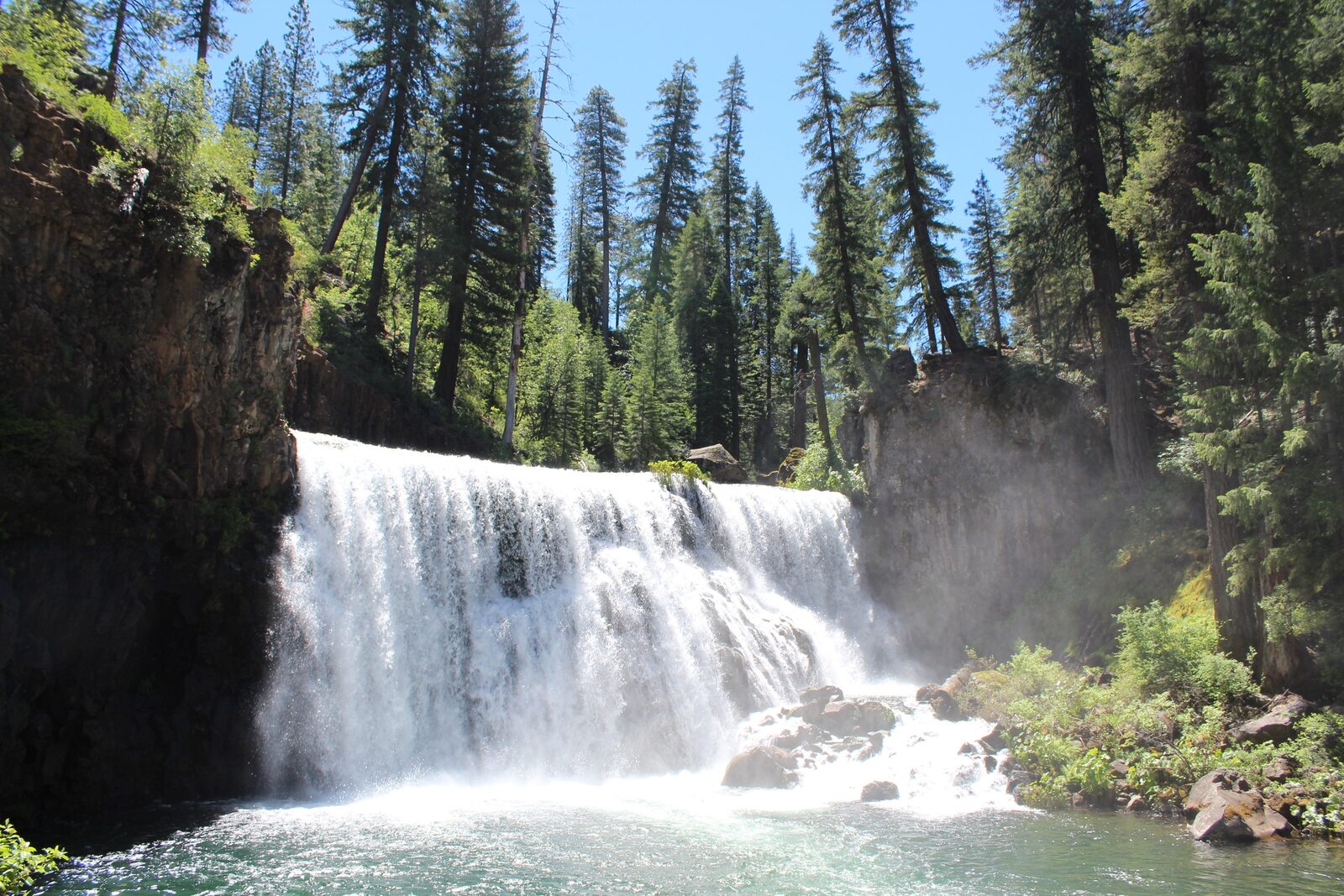
Near the town of McCloud, the McCloud River flows over a series of waterfalls in a forested setting. Middle Falls spreads across a broad rock ledge, creating a different scene from the narrow plunges found elsewhere in the mountains.
The Forest Service describes a trail connecting Lower Falls with Middle Falls; the approach from Lower Falls is about 1.3 miles one way, with a switchback and stair section near the Middle Falls overlook. There are also separate access roads and viewpoints in the area, so check a current map and choose a route that matches your group rather than assuming every visit requires the same walk.
Road access is seasonal. Forest Service closure orders include roads serving the falls area, and snow or maintenance can change what is open. Check the current Shasta-Trinity alerts before setting out, especially outside the warmer months.
Water, rock and steep edges deserve respect in every season. Keep children close, stay behind barriers and avoid entering cold, fast-moving water. A picnic and a look at more than one of the river's falls can make this a relaxed day, provided road and trail conditions cooperate.
4. Hedge Creek Falls — Dunsmuir
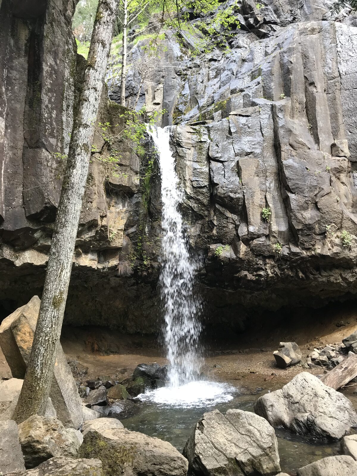
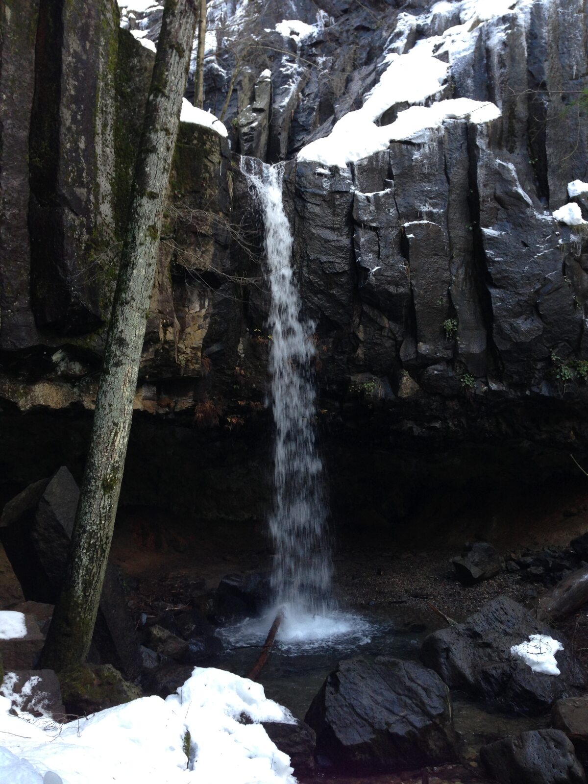
Just off Interstate 5 near Dunsmuir, Hedge Creek Falls offers a chance to trade a highway stop for a short walk in the woods. The path descends toward a small waterfall and passes behind it beneath a shallow rock overhang.
The Mount Shasta Trail Association describes the route as roughly one mile round trip, with an uneven, narrow trail in places. It may feel like a modest outing compared with a full day hike, but the descent means there is a climb back to the trailhead. Winter ice or a wet surface can make even a short path more difficult.
Continue only on the established public route and follow posted signs. The Sacramento River lies below, but a visit to Hedge Creek Falls should not become an attempt to reach nearby Mossbrae Falls by crossing the river or walking on railroad property. There is no need to add that hazard to an otherwise pleasant stop.
This waterfall is a good choice for a traveler who wants to stretch their legs and listen to moving water without committing to a remote trailhead. Check locally for closures, and allow more time than the mileage suggests if anyone in your party prefers a slow pace.
5. Whiskeytown Falls — Whiskeytown National Recreation Area
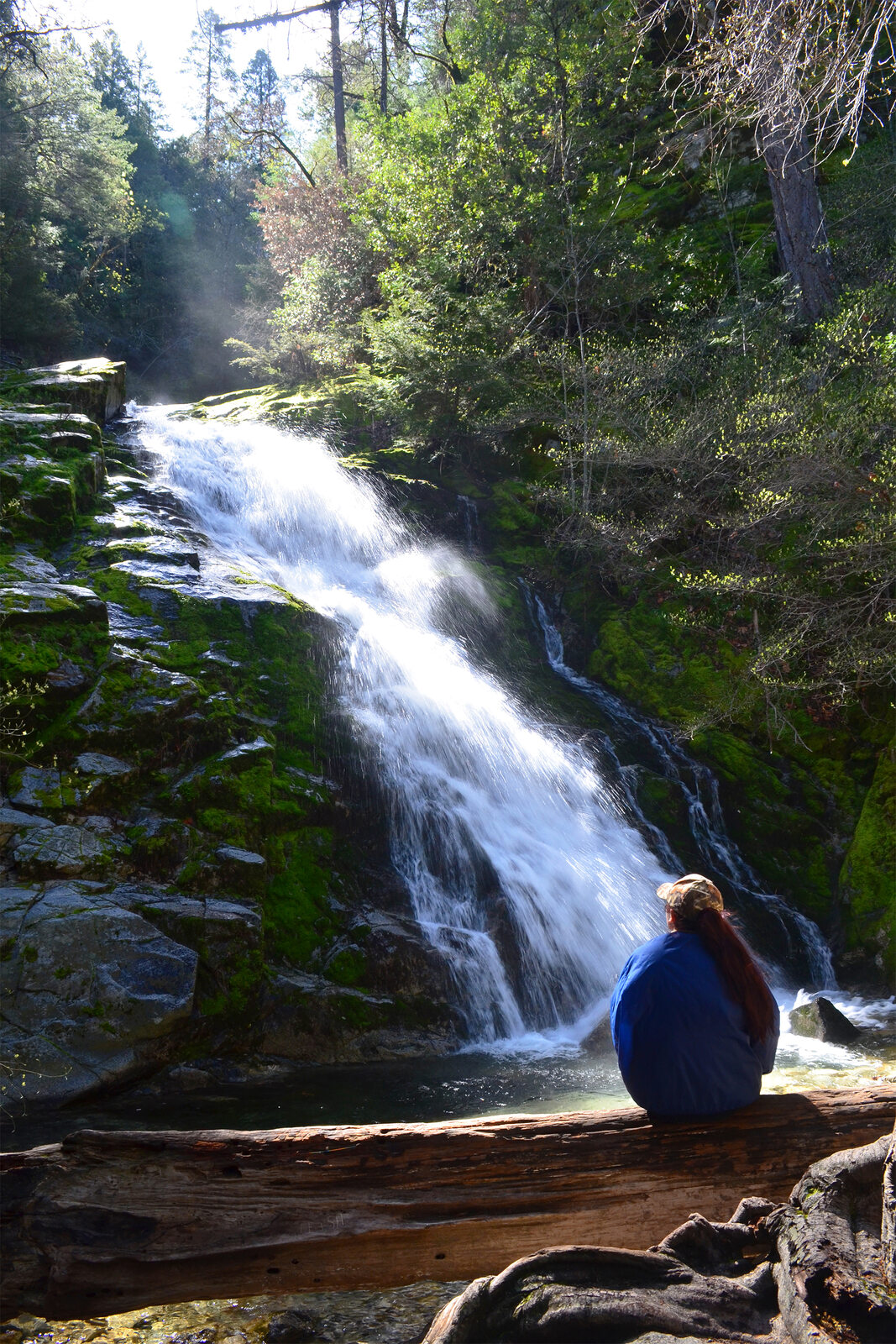
Whiskeytown Falls asks more of its visitors. The James K. Carr Trail climbs through forest toward a three-tier cascade, and the National Park Service describes the route as steep and strenuous in places.
The round trip is approximately 3.4 miles, with the falls around 700 feet higher than the trailhead. Expect rocks and roots, carry water, wear suitable shoes and turn around if conditions or the group's energy call for it. Steps and rails near the falls do not make wet surfaces risk-free; respect any barriers or closed sections.
The area was affected by the 2018 Carr Fire. Park staff have worked to reopen trails, but the agency warns that trees can fall after storms and wind events. Check the current trail status before driving to the trailhead and avoid treating an older review as a guarantee that the route is clear.
This is the choice for someone who enjoys earning a view through a forest walk. Start early enough to avoid rushing the return, and remember that the park requires an entrance pass for recreation.
6. Rainbow Falls — near Devils Postpile National Monument
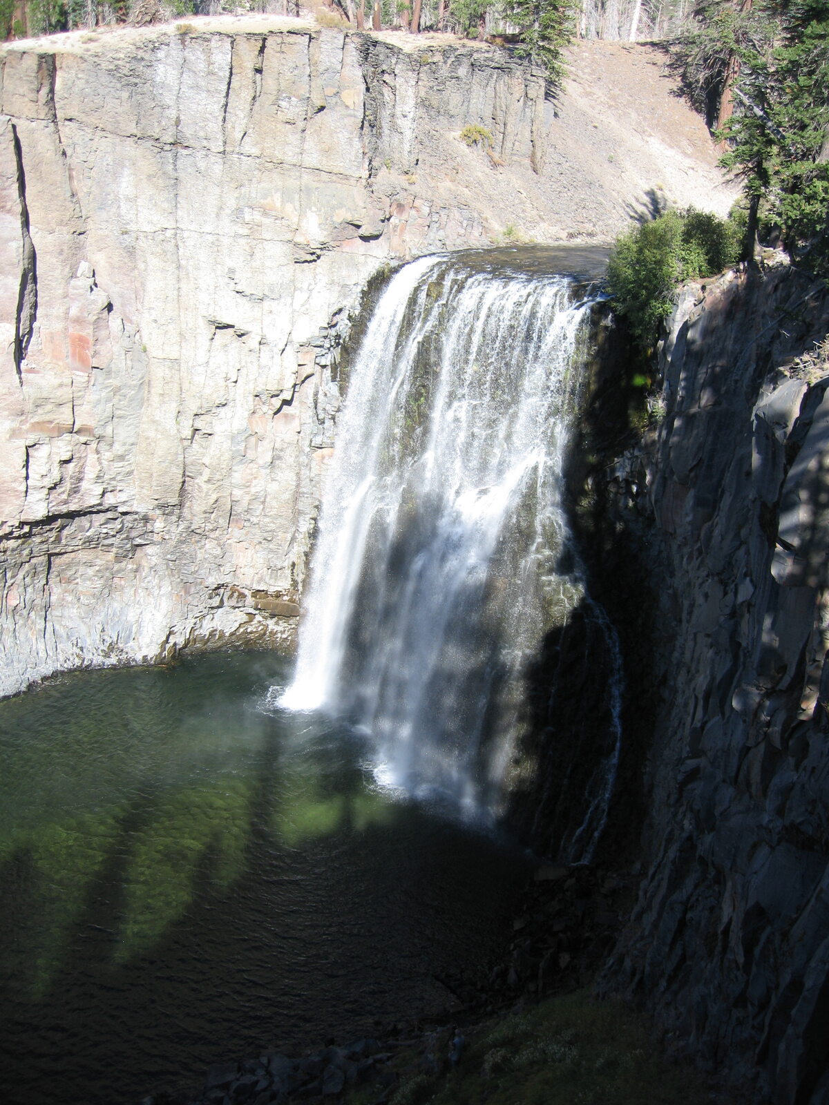
Rainbow Falls on the San Joaquin River makes a memorable eastern Sierra outing when the season and road access align. Sunlight can form a rainbow in the mist, but seeing one depends on light and conditions rather than a fixed promise.
The falls are reached by hiking in the Reds Meadow area, with route length depending on the trailhead. The Park Service describes a roughly five-mile round trip from Devils Postpile. There is elevation, sun exposure and uneven ground to consider, and the return can feel more demanding than the walk toward the waterfall.
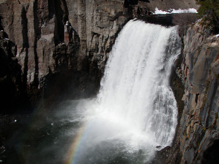
This is a seasonal trip. As of November 15, 2026, the National Park Service reports that Reds Meadow Road is closed for the season. The road is also undergoing reconstruction, and shuttle arrangements and access restrictions can change when the area reopens. Check the park and Inyo National Forest for the current road, shuttle and trail details before planning a visit.
Rainbow Falls flows year-round, but road access does not. Winter access into this area requires serious backcountry skills and preparation; most visitors should plan for the normal operating season and wait for an official reopening.
Plan around the water and the weather
A waterfall photo captures one moment, not a guarantee of what the next visitor will see. Spring snowmelt, summer heat, winter storms and maintenance all affect the experience. Check current conditions, carry what your group needs and enjoy the landscape even when the water is quieter than expected.