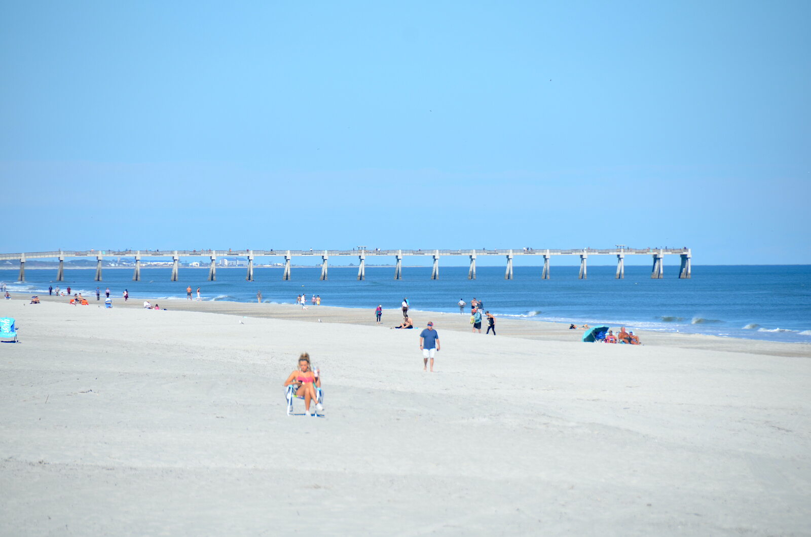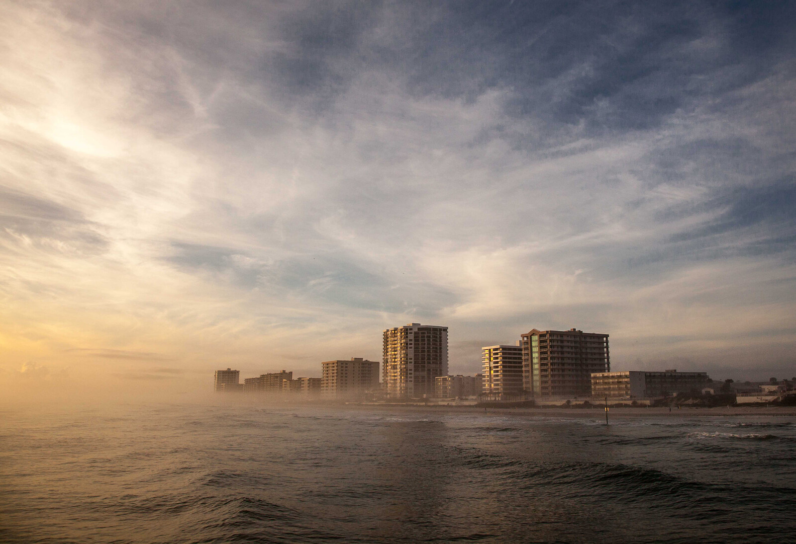
Florida woke up to its coldest morning of the young cool season on Sunday, Nov. 15, as the first frost advisories of autumn stretched across inland pockets of the Panhandle and North Florida. By afternoon most of the state was back in comfortable territory — 60s across the north, 70s across Central Florida and a few southern spots near 80 — but forecasters say the cool spell is not finished yet.
A Frosty Start to the Day
Frost advisories were in effect from early morning until 9 a.m. EST Sunday across portions of inland North Florida, the first of the season for much of the region. National Weather Service offices across the Panhandle and northern counties warned that clear skies and light winds would let temperatures fall into the 30s, allowing ice crystals to form on exposed surfaces.
Forecasters in Tallahassee said the region has already seen the coldest readings of this spell, with the main freeze threat focused north of the state in southern Alabama and Georgia. No additional freezes are expected in the Tallahassee forecast area this week.
South Florida started unusually cool by local standards, too. National Weather Service forecasters in Miami reported temperatures around daybreak ranging from the upper 40s west of Lake Okeechobee to the low and mid-50s across the interior and Southwest Florida, while East Coast metro areas were mostly in the upper 50s and low 60s.
Sunday and Monday by the Numbers
Highs on Sunday were forecast to reach 64 in Pensacola and Tallahassee and 65 in Jacksonville, with low 70s around Daytona Beach and Orlando and mid- to upper 70s farther south along the Treasure Coast. Sarasota was expected to hit 75 and West Palm Beach 79.
Sunday night brings another chilly round: Jacksonville is forecast to fall to 45, with inland portions of Northeast Florida dropping into the 40s while coastal areas and the St. Johns River basin stay in the lower to mid-50s. Tallahassee is forecast to dip to 43, Pensacola to 46, Sarasota to 58 and West Palm Beach to 66. Patchy frost early Monday is expected to be limited mainly to far inland Southeast Georgia rather than Florida.
Monday stays unusually cool across the Big Bend and Panhandle, with the Tallahassee office expecting abundant clouds and highs in the mid- to upper 50s across much of its broader area — 61 in Tallahassee itself.
Rip Currents, Rough Surf and Rain on the Atlantic Side
Strengthening northeast winds early in the week will bring a high rip-current risk, rough surf and hazardous boating conditions along much of the coast, from Pensacola and Jacksonville to Sarasota’s Gulf waters and the Atlantic off West Palm Beach.
Rain chances increase along Florida’s Atlantic coast from Tuesday through Thursday. The National Weather Service in Melbourne said locally heavy rain is possible from Tuesday through Thursday, though confidence remains low in exactly where heavier bands develop. Miami forecasters added that a developing pattern could support heavy rain along portions of the East Coast during the middle and later parts of the week, particularly from Palm Beach through Broward and Miami-Dade counties, with substantial uncertainty tied to the evolution of low pressure near the Bahamas.
The St. Johns River Is Still Running High
Flooding from weeks of exceptional rainfall continues to drain slowly. River flood warnings remain in effect at Cocoa, Geneva and Astor, and the river west of Cocoa remains in major flood stage though it appears to be cresting. Anyone living near the St. Johns or planning river trips should keep an eye on the latest river levels before heading out.
A Quiet Road to the End of Hurricane Season
The National Hurricane Center reports no tropical cyclone activity is expected in the Atlantic during the next seven days, and the official season ends Nov. 30. As of Nov. 15, the 2026 Atlantic season has produced 10 named storms, including one hurricane — Isaias, which made landfall near Destin on Oct. 9 as a Category 2 storm with 105 mph winds.
Meteorologists credit a strong El Niño with suppressing storm development, and AccuWeather lead hurricane expert Alex DaSilva described an unusually quiet conclusion to a season that broke a 121-year-old record. The National Weather Service in Tallahassee noted there is a chance a Gulf low may develop and move eastward over Florida early next week, but the forecast currently shows it staying well south with only a slight chance of showers.
How to Handle the Chill (and What Comes After)
Cold mornings are common but not routine in Florida, so a little preparation goes a long way: bring tender potted plants inside or cover them on frost-advisory nights, keep pets warm and indoors where possible, and never use grills or generators indoors for heat. Along the coast, check the day’s rip-current forecast before swimming, stay near a lifeguard and expect rougher seas into midweek. And with rain chances building on the Atlantic side Tuesday through Thursday, it is a good week to carry an umbrella and keep an eye on flood-prone roads if you live east of Orlando.