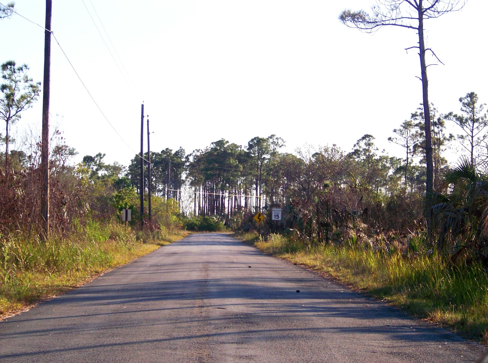
There are two ways to cross the bottom of Florida, and everybody knows the first one: Alligator Alley, four lanes of interstate where the Everglades scrolls past at 80 miles an hour like a green blur. The second way is older, slower, and only two lanes wide. It runs on a roadbed raised out of the swamp in 1928, straight across the sawgrass, and it rewards anyone willing to take the long way home.
The Tamiami Trail — U.S. 41 — links Miami and Naples across the Everglades, roughly 80 miles of blacktop that begins as Calle Ocho in Little Havana and ends at the mangrove-lined lanes of the Gulf Coast. Give it a full day. Fill the tank. Slow down to 55 and let the horizon of grass do the rest.
Where the City Ends
Leave Miami on Southwest Eighth Street and drive west. For miles the Trail is a city street, all bakeries and sidewalk vendors, then around Krome Avenue — about 20 miles out — the buildings fall away and the road enters the Glades. On the corner sits the Miccosukee resort and casino, the last outpost of neon before the horizon opens up.
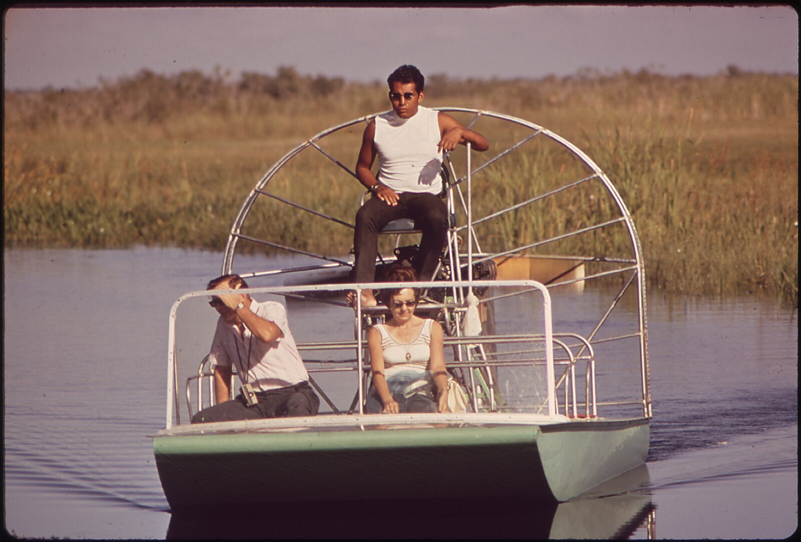
Past it, the first airboat operators appear — Coopertown, Everglades Safari Park and Gator Park, the three the National Park Service authorizes inside Everglades National Park, along with several others on reservation land. The roar of an airboat engine is the signature sound of this road, part lawnmower, part jet, and worth at least one ride if you have never felt the swamp open beneath you.
Shark Valley: A 15-Mile Loop Into the Grass
About 40 miles from downtown Miami, the road's greatest stop arrives without fanfare: Shark Valley, one of the entrances to Everglades National Park. A paved 15-mile loop trail heads into the sawgrass, and the choices are simple — walk it, bike it, or ride the tram that circles the loop with a narrated tour. In winter, which is now, alligators line the canal banks like basking logs and herons stand motionless in the shallows. The observation tower at the halfway point is the best elevated view of the river of grass on this road.
Shark Valley is popular, and parking fills early on winter weekends, so arrive with time to spare. Park entrance fees run $35 per vehicle and cover seven days.
Into Big Cypress
West of Shark Valley the Trail crosses into Big Cypress National Preserve, free to enter and threaded with cypress strands so thick the trees lean over the pavement. This stretch is designated a scenic highway, and it deserves a slow foot. Watch the canals: otters cross the road here, and alligators slide off the banks as you approach.
At 52388 Tamiami Trail, stop at Clyde Butcher's Big Cypress Gallery, where the legendary photographer's giant black-and-white swamp prints hang in the studio where he made them. The pond out back draws gators and wading birds, and a short trail loops through the cypress behind the gallery.
Farther west, the Big Cypress visitor center has exhibits, a film, and a boardwalk over a pond full of winter gators. Just beyond, the half-mile Kirby Storter boardwalk rolls through a cypress swamp and is wheelchair- and stroller-friendly. At H.P. Williams Picnic Area, where Turner River Road heads north, tables and a viewing platform overlook a canal that reliably holds gators, herons and egrets.
Feeling adventurous? Turn Loop Road, a 26-mile gravel ribbon through Big Cypress that once served moonshiners and hermits and now delivers deer, turkeys and otters to patient drivers. Or run the 17-mile backcountry loop up Turner River Road, a graded dirt road through open prairie that eventually returns to the Trail.
Ochopee and the Smallest Post Office in America
Keep going west and the wilderness gives way to a single building: the Ochopee post office, the smallest in the United States, about the size of a walk-in closet and older than most of the people mailing postcards from it. Photograph it. Buy a stamp. It's a landmark.
Lunch lies a few miles west at Joanie's Blue Crab Cafe, 39395 Tamiami Trail, a funky 1928 building crammed with memorabilia that has fed bikers, Europeans and locals on frog legs, catfish, alligator, blue crab and grouper for decades. It keeps limited hours off-season, so call ahead.
The Everglades City Detour
At State Road 29, turn south for Everglades City, a one-time county seat turned stone-crab capital. Seafood shacks line the waterfront, and stone crab season — open since mid-October — means dockside clusters cracked fresh and served with mustard sauce. The historic Rod and Gun Club still stands watch over the river.
North on the same road lies Fakahatchee Strand Preserve State Park, admission $3, the orchid capital of the continent with 44 native orchids, including the ghost orchid of The Orchid Thief. Its Big Cypress Bend Boardwalk — rebuilt in recent years after hurricane damage — is a 2.3-mile stroll into a virgin cypress swamp, past a breezy pavilion with rocking chairs and a gator pond at the end.
A Road That Dammed a River
The Trail is an engineering marvel with a complicated conscience. Completed in 1928 after years of hacking, dredging and blasting through the swamp — three million sticks of dynamite, by some counts — it opened South Florida to development. Huge walking dredges, like the 1924 Bay City machine preserved at Collier-Seminole State Park near the road's west end, clawed the roadbed out of the muck.
But the road also became a dam. It cut off the sheet flow of water that Marjory Stoneman Douglas called a river of grass, starving Everglades National Park downstream. The fix has been decades in the making: two elevated bridges — one mile opened in 2013, 2.3 miles more in 2019 — now let water slide beneath the road, boosting flow into the park by 80 percent. The work wrapped up in 2024, the largest construction project in National Park Service history. When you cross those long, silent bridges over sawgrass and open water, you're driving over the biggest repair job Florida ever attempted.
Practical Notes for the Long Way
This is the season for the Trail: the winter dry season runs now through April, with cool mornings, fewer mosquitoes and gators out sunning. Plan a full day — the crossing is two hours of pure driving, but the stops are the point.
Gas up before you leave Miami, or at the Miccosukee station at Krome Avenue; services thin out fast. Cell coverage is spotty through Big Cypress, so download the map. Slow down for wildlife at dawn and dusk, and avoid driving the Trail after dark, when the road belongs to the deer, the panthers and the night herons. Bring binoculars and bug spray, take the long way, and give the swamp its time.