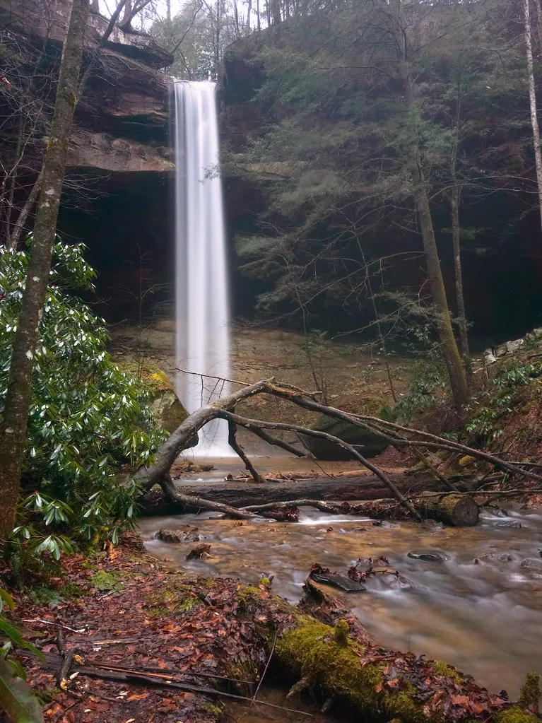
At Cumberland Gap, a break in a long mountain ridge connects stories from Kentucky, Tennessee and Virginia. The national historical park protects much more than a line on a map: it offers wooded trails, a mountain overlook and a place to consider how people and wildlife have moved through this landscape over time.
A first visit does not require a long backcountry hike. Start at the visitor center, choose between a scenic drive and a trail that fits your group, and leave time for the history behind the view. Because the park crosses state lines, the overlook and the places visible from it may be in different states from the visitor center.
Begin at the Visitor Center
The National Park Service recommends the visitor center for maps, directions and information about the park's history. It is also the best place to ask about trail conditions, weather and the activities available on the day you arrive. Published hours are generally 9 a.m. to 4 p.m., with closures on Thanksgiving, Christmas and New Year's Day; check current information before traveling.
Take a few minutes to orient yourself before heading uphill. Cumberland Gap is both a specific mountain pass and the name of a larger protected area. A map makes it easier to understand where the historic gap, overlooks, trails and surrounding communities fit together.
The park is in the Eastern Time Zone. That detail matters if you are arriving from farther west in Kentucky, especially when a visitor-center closing time or a scheduled activity shapes your day.
Drive Toward Pinnacle Overlook
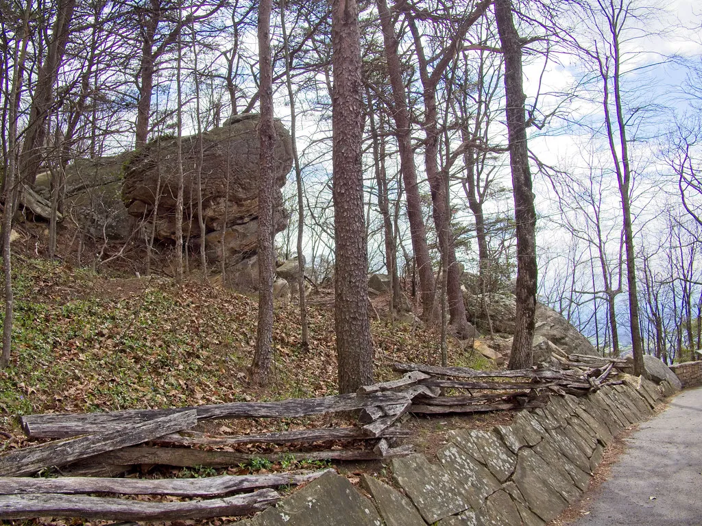
Pinnacle Overlook offers a broad introduction to the region. The park describes a roughly four-mile drive on Pinnacle Road from the area near the visitor center to the top of the mountain. From there, visitors can look across a landscape shared by Kentucky, Tennessee and Virginia.
The overlook is in Virginia, while the park and views extend across state boundaries. On a clear day, the geography makes the importance of the mountain passage easier to understand than a flat map alone. Visibility changes with clouds, haze and season, so do not expect every distant feature to be visible on every visit.
Road access can close during ice, snow, high winds, lightning or other hazardous weather. Check the park's alerts shortly before leaving and follow staff instructions. The road is winding, and the park's current rules restrict certain longer vehicles and trailers beyond the gate; consult the official information before taking a large vehicle.
Consider a Walk to Tri-State Peak
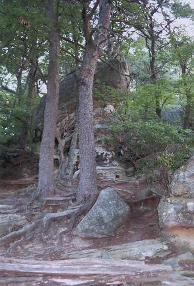
If your group wants a trail, the National Park Service describes a moderate route to Tri-State Peak, where the three state boundaries meet. Its suggested route is approximately 2.4 miles round trip from the parking area and includes uneven surfaces. Consult the park's current map and directions rather than relying on a single trail name in a navigation app.
Wear shoes with traction, bring water and allow more time than a distance estimate alone might suggest. A trail can feel different after rain or in winter, and daylight disappears earlier in colder months. Turn back when conditions or the abilities of your group make the walk unsuitable.
For visitors who prefer a shorter or more accessible experience, ask a ranger about alternatives. The park notes that the Tri-State route is not fully accessible because of uneven trails; a scenic drive and visitor-center visit may be a better choice for some groups.
Give the Gap's History Room for More Than One Story
The pass has long been a route through the mountains. Indigenous peoples knew and used this region before the arrival of later settlers, and the movement of people through the gap connects to migration, conflict and profound changes for Native communities. The park's exhibits and ranger programs can help place those stories in context.
The landscape also changed as roads and transportation developed. Looking from the overlook toward the gap, nearby communities and the modern route through the mountain helps show how a geographic feature can continue to shape travel over many generations.
Avoid reducing the place to a single date or a single famous person. Ask what sources are represented in the exhibits and what additional perspectives a ranger can recommend. History is richer when the people who were already here are part of the account.
Make Space for Weather and Wildlife
Mountain conditions can differ from the weather at home. Bring layers, check the forecast and leave extra time if fog or rain slows the drive. Stay on established paths and behind barriers at overlooks; wet stone and steep edges are not forgiving places for a shortcut.
The park's trail conditions page notes that downed trees and other obstacles can change quickly and that its list is not a complete real-time report. Contact the visitor center for the most current information on a particular route. Give wildlife space, do not feed animals and follow current park guidance on food and pets.
Put the Day Together
For an easy introduction, start at the visitor center, drive to Pinnacle Overlook if the road is open, and add a short walk suited to your group. Hikers can instead build the day around Tri-State Peak, with enough daylight for the return. Either approach leaves room to stop, read and take in the view.
Before leaving, confirm hours, road status and any weather closures on the National Park Service site. The reward is a trip that feels connected to both the landscape and the people who have traveled through it.