Mississippi's water landscapes can feel worlds apart. At Ship Island, a boat ride leads to an open Gulf beach. Near Ocean Springs, a mainland bayou invites visitors to watch for wildlife from short trails and a pier. Along the Natchez Trace, cypress trees rise from a wetland created by an old river channel.
These are separate outings with different access rules, not a single-day route. Choose the one that fits your group and the season, then check the latest park information. A little planning makes it easier to enjoy the view and protect the places that provide it.
1. Ship Island: A beach reached by boat
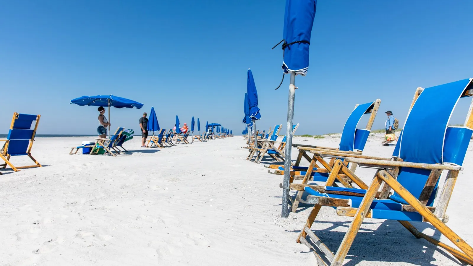
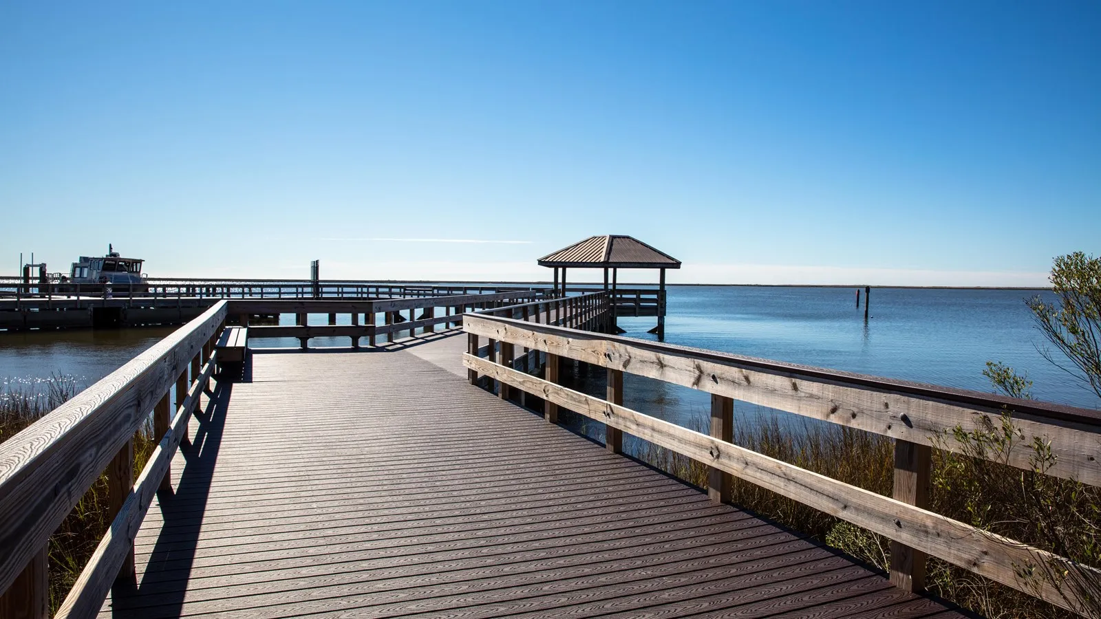
Ship Island lies about 12 miles off Mississippi's coast in Gulf Islands National Seashore. The crossing is part of the appeal: after arriving at the north-side pier, visitors can walk toward the Gulf-facing swim beach or learn about historic Fort Massachusetts. There is no public transportation on the island, so bring footwear and pack only what you can carry.
The National Park Service says passenger ferry service generally runs seasonally from mid-March through October. As of November 16, 2026, that year's regular season has ended. Before making future plans, confirm the operator's current departure location, schedule, fares and weather policies. The park's information references Gulfport and Biloxi service; use the departure details on your reservation.
The island's buildings, structures and fort are closed from November 1 through February 28, extended through February 29 in leap years. The park currently says camping is not permitted. A ferry trip is a day outing, so keep track of the return departure and allow ample time to walk back to the pier.
Bring drinking water, sunscreen, a hat and food if needed. The park permits food but prohibits glass, and pets are not allowed except service animals. Check beach warning flags and rip-current information before entering the water. Do not climb dunes or historic structures, and never feed birds. When the weather or sea conditions make swimming a poor choice, a sheltered picnic and a walk may be the better plan.
2. Davis Bayou: A mainland coastal landscape
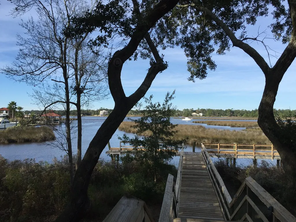
Davis Bayou is also part of Gulf Islands National Seashore, but it is near Ocean Springs and can be reached by car. A visitor center, fishing pier, picnic area and trails offer several ways to experience the setting. The park's visitor center is a useful first stop for maps and current conditions; confirm its hours separately from the area gate.
Nature's Way is a roughly half-mile loop with bayou views. There is no parking at the two trailheads, according to the National Park Service, so visitors should account for the walk from the visitor center or campground. The short CCC Spur Trail provides another woodland option and interpretation of the Civilian Conservation Corps' work in the area.
At Gator Pond, a small viewing platform offers a chance to look for alligators, turtles and birds. Animals may not be visible on every visit. Stay behind railings, keep children close and never feed or approach wildlife. Binoculars make distance an advantage rather than an obstacle.
The fishing pier near the visitor center gives a view over the water. If you want to fish, check Mississippi licensing requirements and park rules; fishing is restricted to the designated pier under the area's guidance. Swimming is not allowed anywhere in Davis Bayou. The park says there are no concessions or stores here, so pack water and any food your group needs.
3. Cypress Swamp: Trees in an old river channel
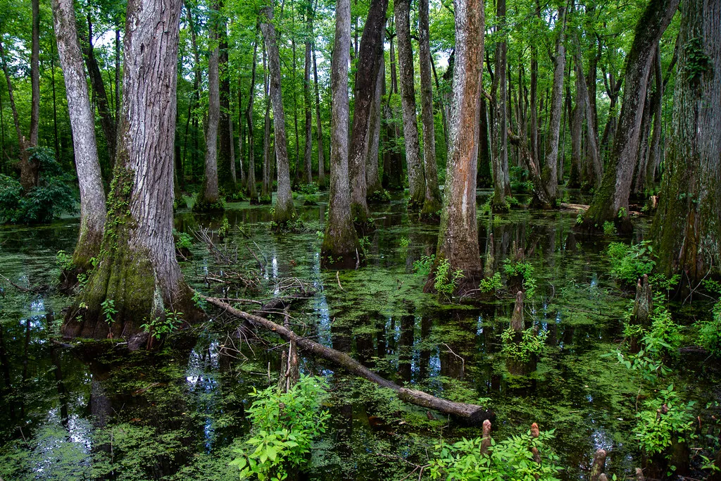
At milepost 122 on the Natchez Trace Parkway near Canton, Cypress Swamp offers a striking change from the coast. The National Park Service explains that the Pearl River once flowed through the area. After the river changed course, a shallow channel remained, and water-tolerant bald cypress and water tupelo took root.
A trail and boardwalk give visitors a way to experience the wetland when open. Look for reflections, roots and wildlife, but stay on designated surfaces and do not enter the water. The park notes that alligators can be present. Give animals space, supervise children and bring insect protection in warmer weather. Water levels and foliage change, so the swamp may look different from the photograph here.
The nearby Natchez Trace National Scenic Trail has a trailhead across the parkway. A longer walk requires its own map, supplies and time estimate; cross the road carefully and check the latest conditions. The modern parkway commemorates older travel routes, and a stop here can be paired with interpretation elsewhere along the road.
Check the National Park Service's road-status page before driving. As of November 2026, reconstruction had closed a different Mississippi segment between mileposts 159.5 and 165, with a signed vehicle detour. This does not place Cypress Swamp inside that segment, but it can affect a longer itinerary. Cyclists should review the park's warning that the detour is not suitable for bicycle travel.
Choose the water view that fits
Ship Island is the most involved trip because it requires a boat and seasonal planning. Davis Bayou is an accessible mainland option for a shorter coastal outing. Cypress Swamp works well as a pause on a parkway drive. All three reward patience and careful attention to current conditions, wildlife and posted boundaries.