Alabama’s Talladega Scenic Drive is a road for taking your time. Forested ridges, rocky outcrops and views across the surrounding country make this a rewarding mountain outing, especially when you allow a walk or a picnic to turn a drive into a day.
The Federal Highway Administration lists the national scenic byway at 26.4 miles and suggests allowing about an hour to drive it. That estimate is for the road itself; stops, weather and a visit to nearby Cheaha State Park add time. These three parts of the trip make a practical starting point.
1. Follow the ridge and use safe pullouts
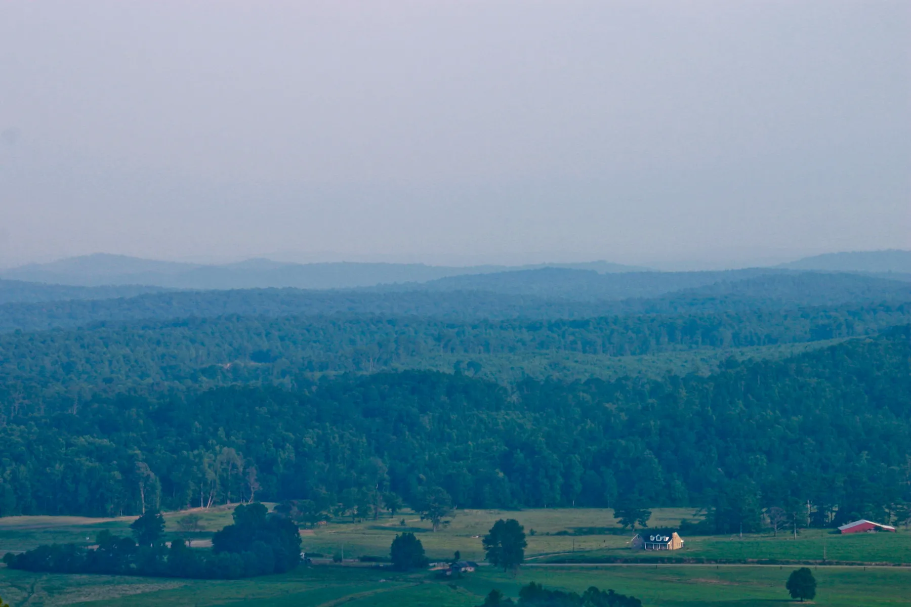
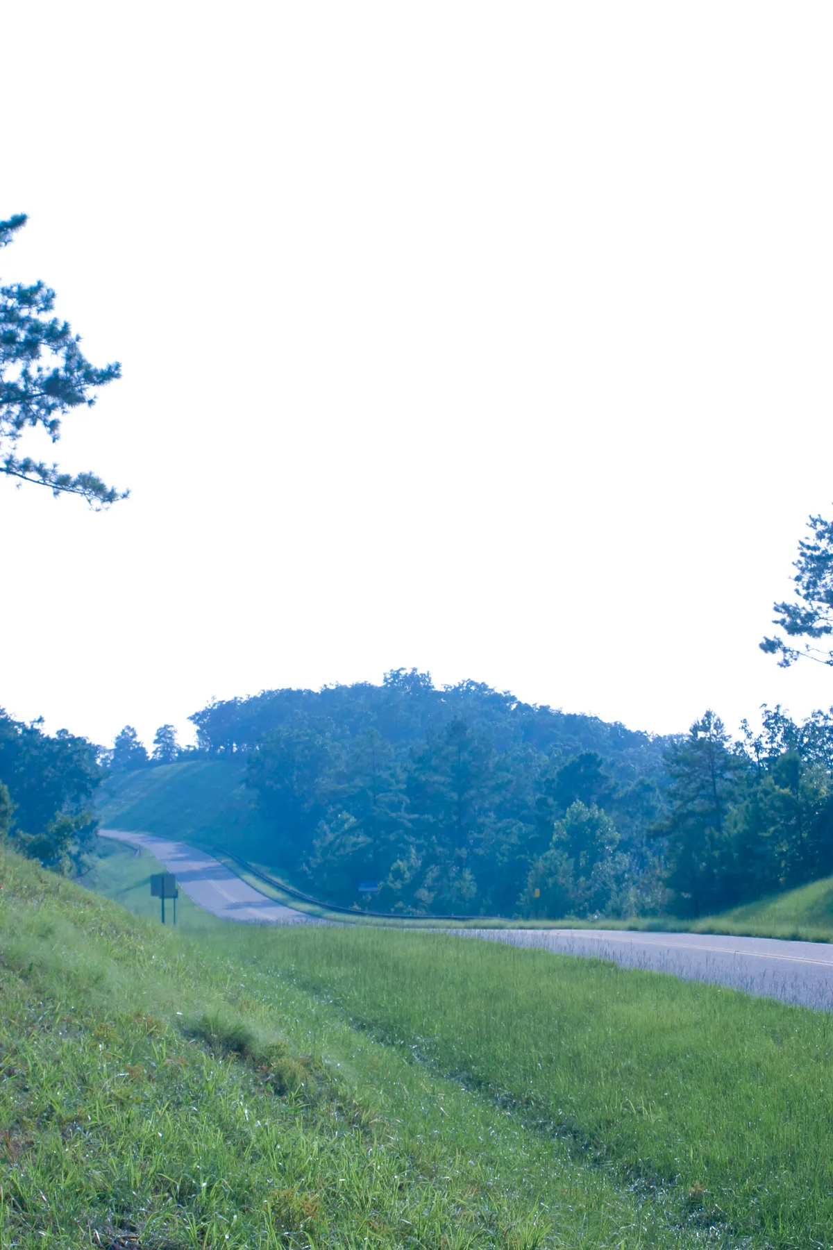
The byway travels through the Talladega National Forest toward the Cheaha area. The appeal is not one continuous panorama: trees frame the road, ridges appear between bends and openings reveal a much wider landscape. That rhythm makes the route a good choice for travelers who enjoy the drive as much as the destination.
Let the driver concentrate on the road. Use established pullouts for photographs, never stop in a travel lane and avoid standing in a curve where another driver may not see you. A passenger can help watch for permitted stops while the driver looks after the car. Be prepared for changing visibility, particularly when clouds settle over the mountains or rain moves in.
Bring water and a little food, fuel up before leaving larger communities and download the route where cell service may be unreliable. Check road and forest notices before departure. An hour is a useful driving estimate, not a guarantee when weather, traffic or road work intervenes.
The photographs in this article are historical Federal Highway Administration views of the byway. They illustrate the landscape, but they do not show current road conditions. Follow signs on the day of your visit and turn around if a route is closed.
2. Add an optional Cheaha State Park visit
Cheaha State Park makes a natural extension of the drive. The state park is home to Alabama’s highest point and offers overlooks, trails, picnic facilities and overnight accommodations. It charges a separate day-use admission, so check the state park’s current rates and hours rather than relying on an old byway listing.
The Bald Rock accessible boardwalk offers an option for visitors who want a view without choosing one of the park’s steeper hikes. The park’s guide lists the boardwalk at roughly 0.3 mile; confirm current surface conditions and accessibility with staff if a particular feature is essential for your group. The outlook is still an outdoor place with weather and elevation to consider.
For a more demanding walk, the park describes the short Pulpit Rock Trail as steep in places. A short distance does not necessarily mean an easy surface. Wear appropriate shoes, keep children away from edges and turn back if rocks are slick. The park requires a permit for rock climbing and rappelling; walking to an overlook does not grant permission to climb.
Park admission ends before sunset and day-use areas and trails close at sunset according to current park guidance. Plan your departure with a margin, and consult the official park page for changes before traveling.
3. Build a flexible day around the mountain
Start early enough to enjoy the road in daylight, then decide whether your group wants a short boardwalk, a more rugged trail or a picnic. Cheaha’s trail map shows routes of different lengths and surfaces, and its interpretive center near the lake offers another way to learn about the area when open. The center’s schedule is seasonal, so verify hours before making it the main attraction.
Mountain weather can be different from conditions at home. A layer for wind, sturdy footwear and a forecast check are useful even when the valley is warm. After heavy rain or in winter, trails and roads may need extra caution. Avoid promising a particular view: clouds and haze can soften the ridges or hide them altogether.
If you want to stay longer, check current camping or lodging availability and reserve where required. Keep boundaries in mind: national forest and state park facilities may have different rules and fees. Ask the relevant manager before assuming a pass or reservation applies to both.
Before you leave
Download a map, check park and forest notices and tell someone your general route if hiking. Carry out litter, stay on designated paths and give wildlife space. Choose an established overlook rather than creating a shortcut through vegetation.
The Talladega drive is best treated as a pace of travel. A safe stop, a view across the ridges and a well-chosen walk can make a modest stretch of road feel like a much larger escape.