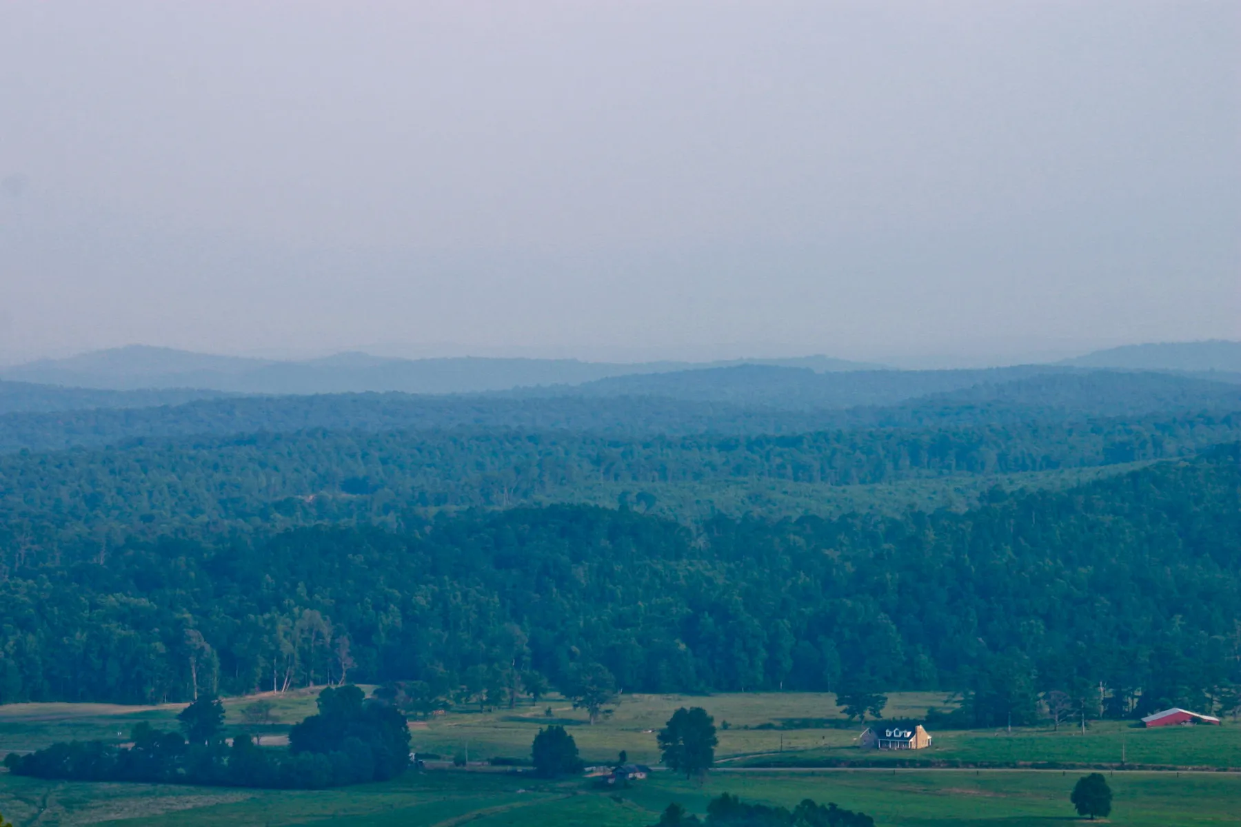
High above Little River Canyon, a winding road threads between overlooks, forest and sandstone formations. Alabama Highway 176, also called the Little River Canyon Rim Parkway, offers a way to see the preserve without committing to a strenuous descent. It also rewards drivers who park at designated pullouts and give the views more than a passing glance.
The National Park Service describes an approximately 11-mile rim route from Little River Falls to Eberhart Point. Allow longer than the mileage suggests: the road is narrow and curvy, and stopping is part of the experience. These seven places offer an easy framework for the drive, beginning at the visitor center just outside the preserve and ending at the rim’s southern overlook.
1. Little River Canyon Center
Start at the Little River Canyon Center near Fort Payne for orientation before entering the preserve. The center is operated by Jacksonville State University in partnership with the National Park Service. Check current hours before arriving, and ask about road conditions, park rules and trails suited to your group. A map helps make sense of the rim-road pullouts and the separate canyon-bottom areas.
The center is a useful place to slow down before the scenery begins competing for attention. Little River’s course on Lookout Mountain has shaped a remarkably deep canyon. Seeing it from above is only one way to appreciate the landscape; exhibits and park information can provide context for the places you will encounter farther along the road.
2. Little River Falls
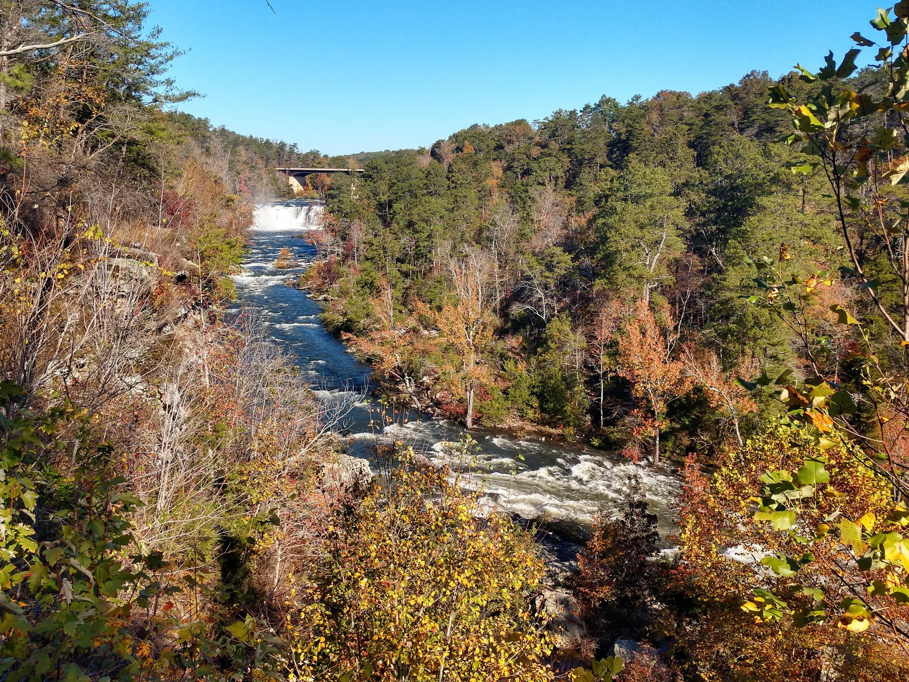
The falls are an unmistakable first landmark. A boardwalk from the parking area leads to an overlook where visitors can see the river drop over a sandstone ledge. Water levels affect the scene, so a photograph taken after rain may look very different from the falls during a dry spell. Stay behind barriers and use designated paths: smooth rock near moving water can be extremely slippery.
This area also carries a difficult history. The National Park Service identifies a crossing above the falls with a route used during the forced removal of Cherokee people in the 1830s. Take a moment to read the park’s interpretation and remember that this landscape has been home to Indigenous people for far longer than it has been a recreational destination.
3. Mushroom Rock
Farther along the parkway, Mushroom Rock is a sandstone formation named for its distinctive shape. It offers a change of scale after the broad view at the falls: here the attraction is a single rock feature rather than an expansive canyon panorama. Pull into a designated parking area and be alert for other vehicles; the road has curves and limited space.
The rocks along the rim are part of the landscape, not a playground without consequences. Avoid climbing near edges, follow posted guidance and leave natural features as you find them. On a busy day, patience at the pullouts makes the visit more pleasant for everyone.
4. Canyon View Overlook
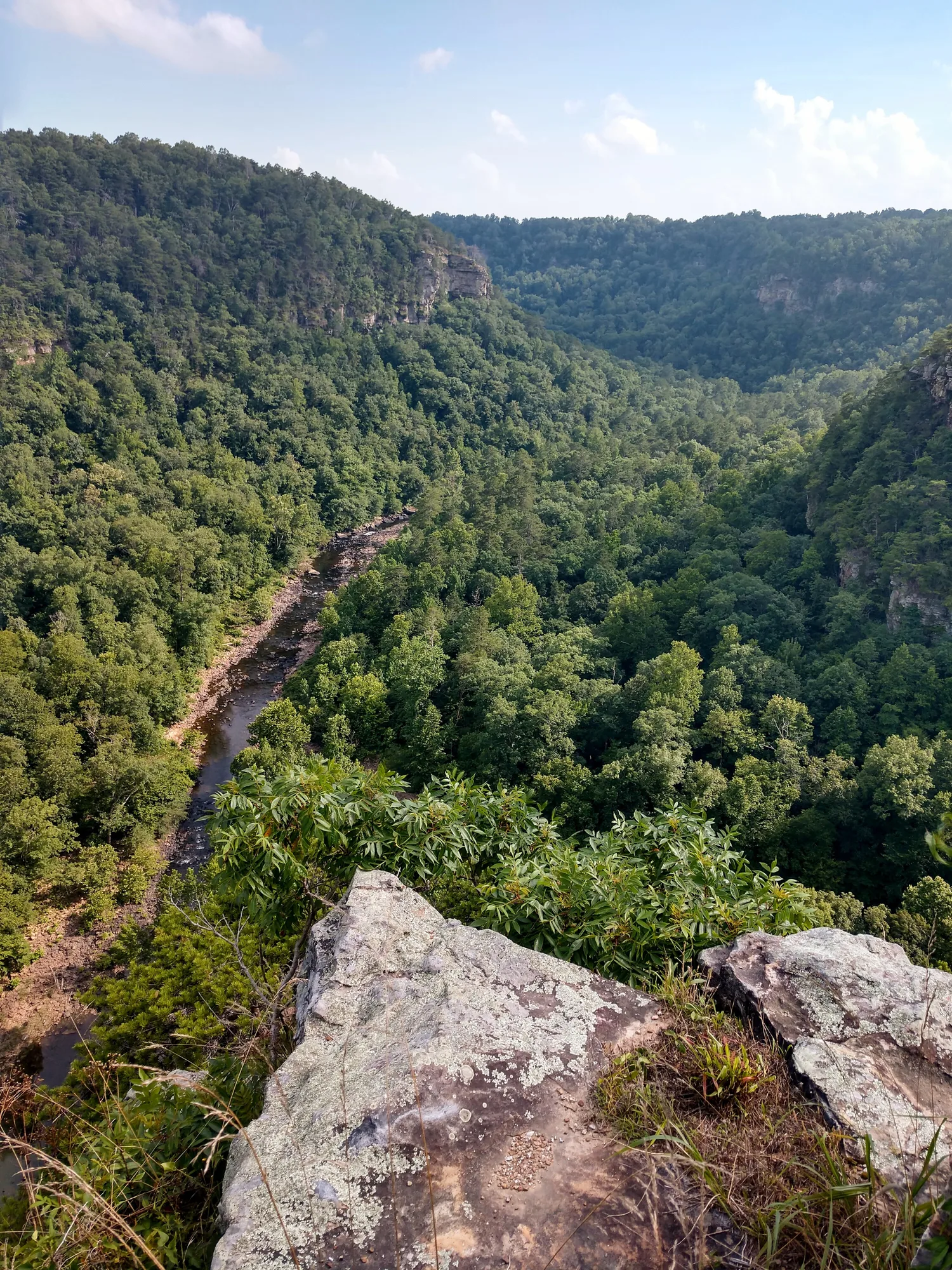
Canyon View is one of the signed stops along the rim road and a good place to appreciate how the river has cut through the plateau. The perspective changes with the season: green leaves can soften the canyon walls, while a winter visit may reveal more of the contours through bare branches.
Give yourself time to look instead of treating every overlook as a quick photograph. Notice the opposite rim, the folds in the terrain and how the river’s position helps explain the shape of the canyon. Conditions at overlooks vary; use established viewing areas and keep children close to adults near steep terrain.
5. Wolf Creek Overlook
Continue to Wolf Creek Overlook for another perspective from the road. The appeal of this drive comes partly from how views change as the route bends around side drainages and follows the canyon. What looks like a small shift on the map can make the gorge feel quite different from one stop to the next.
Bring drinking water and consider visiting earlier in the day when parking may be less crowded. The National Park Service says the scenic drive is open during daylight hours. Check current park alerts before visiting, particularly after storms or during winter weather.
6. Grace’s High Falls Overlook
Grace’s High Falls is a seasonal waterfall, and its appearance depends on recent rainfall. In dry conditions there may be little or no visible water, so think of this as a canyon overlook with the possibility of a waterfall rather than a guaranteed year-round cascade. After substantial rain, the view can be especially dramatic.
Weather that creates beautiful waterfalls can also make footing and driving more difficult. Watch the forecast, keep to signed public areas and do not approach cliff edges for a better angle. A safe view from the overlook is worth far more than an unnecessary risk.
7. Eberhart Point
Eberhart Point marks the end of the roughly 11-mile rim route described by the National Park Service. It is a natural place to pause before deciding whether to turn around or continue on the longer drive toward Canyon Mouth Park. Consult a current map: the road south of the rim overlooks becomes steeper and narrower, and the Park Service says RVs and trailers are prohibited on that southern extension.
If you are interested in hiking, check current trail conditions and difficulty before setting out. A canyon descent is a very different undertaking from stepping out at an overlook. Wear suitable footwear, carry water and allow enough time to return before dark. There is no need to take a demanding trail to enjoy the rim drive.
Before You Go
Little River Falls and other popular areas can be crowded in warm weather. Use designated parking, never block a road or gate, and leave extra time for others to maneuver. Water conditions change quickly and the river can be dangerous; follow park warnings and avoid entering water when conditions are unsafe. Check the National Park Service for current alerts, hours and detailed safety information before departure.