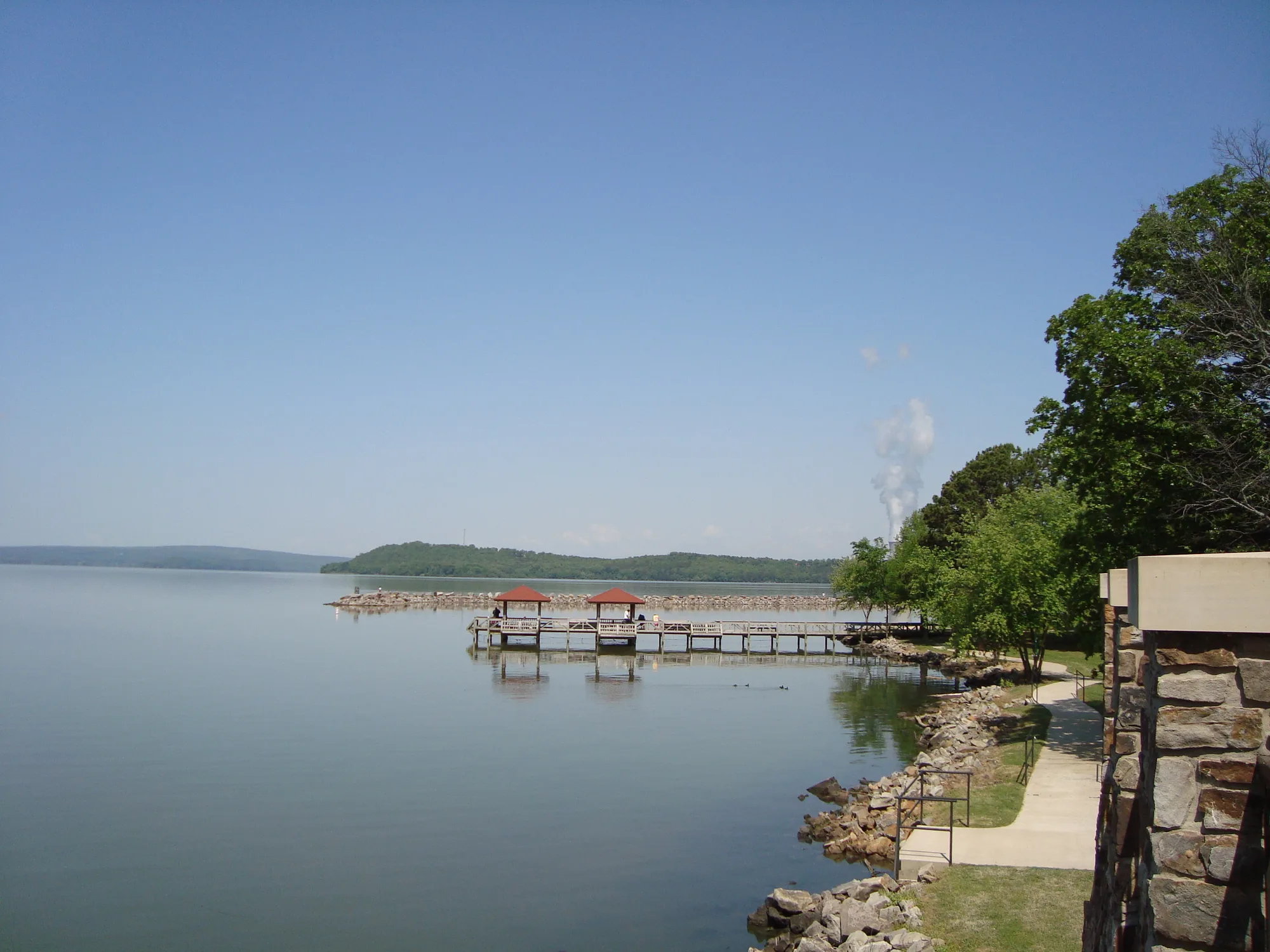
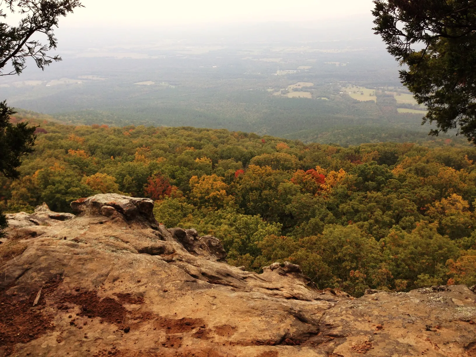
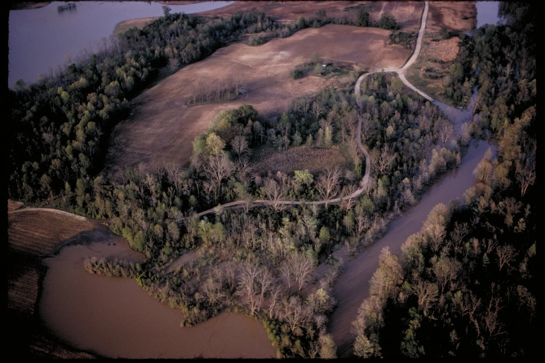
The Buffalo National River has a way of making a small plan feel expansive. A road drops into a green valley, a gravel bar leads to cool water, and a bend in the river reveals a wall of pale limestone. You do not have to float the whole river to appreciate it. A single walk, viewpoint or picnic can make a rewarding introduction.
These six ideas span different parts of the national river in northern Arkansas. They are choices for a visit, not stops to squeeze into one afternoon: winding roads and the distances between access points deserve more time than a map might suggest. Check the National Park Service’s alerts and river conditions shortly before setting out.
1. Start in Boxley Valley and look for the old homestead
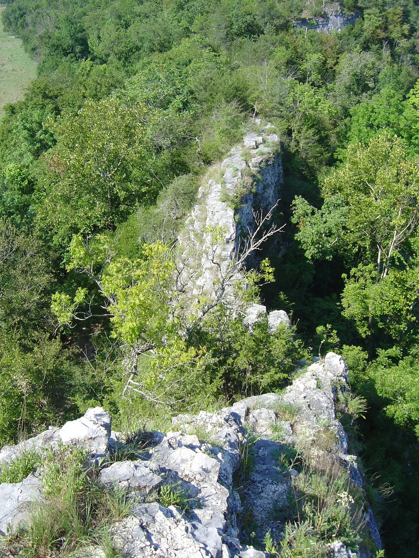
Boxley Valley offers a gentler introduction than a demanding bluff-top hike. The valley combines open fields, wooded hills and the traces of families who lived and worked here before the river became a national park. It is also a place where elk may be visible, especially around dawn and dusk, although a sighting is never guaranteed.
For a short outing, the Beaver Jim Villines Homestead Trail begins at the Ponca river access. The National Park Service describes it as an easy walk past historic farm buildings. The site adds a human scale to a landscape often photographed for its bluffs and river bends: someone once made a daily life in the valley you are passing through.
Look for wildlife from a safe, legal stopping place rather than slowing or stopping in the road. Stay well back from elk, use binoculars, and avoid approaching animals for a better photograph. Before counting on the homestead trail, check the park’s current trail and road notices, particularly after high water.
2. Take the short walk into Lost Valley
Lost Valley, south of Ponca, follows a creek into an intimate woodland setting with rock formations, seasonal waterfalls and a large bluff shelter known as Cob Cave. It is a good choice when you want to walk into the landscape rather than view it from a car window. Waterfall flow varies with rainfall, so the same trail can feel quite different from one trip to the next.
The first portion is comparatively broad and level, but the route becomes more demanding farther in, with steps and uneven footing. The Park Service notes that reaching the waterfall inside Eden Falls Cave requires a flashlight and agility. You do not need to enter a cave to enjoy the valley; choose the part of the outing that fits your group and turn around when conditions or comfort call for it.
The park lists Lost Valley as day use only and does not allow pets on the trail. Carry water, wear shoes with traction and treat any wet rock with care. After heavy rain, creek crossings and access can change, so review current conditions before committing to the drive.
3. Spend time beneath the bluffs at Steel Creek
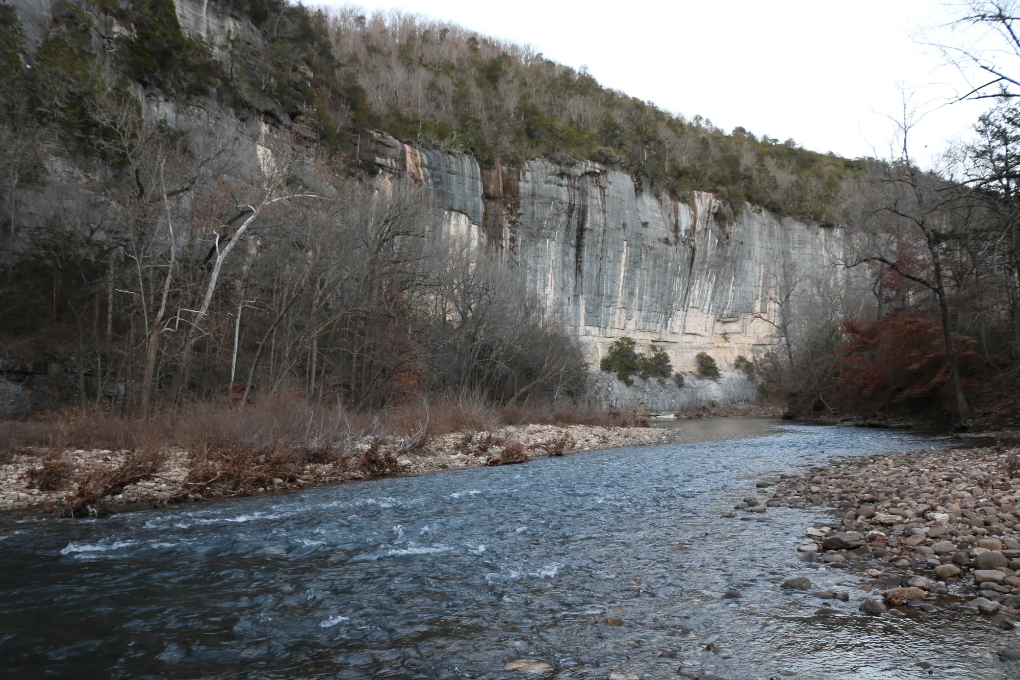
Steel Creek brings one of the Buffalo’s most memorable features into close view: a long limestone bluff above a bend in the river. It is an appealing place to pause even if your itinerary contains no ambitious hike. Stand on the gravel, look up at the layered rock and give yourself a little time to notice how the river has shaped the valley.
The area is also a trailhead for the Buffalo River Trail. The park describes the upper trail as moderate to strenuous overall, with steep stretches and exposed bluff country. Do not assume that a route is easy simply because the trail begins near a popular access point. Ask a ranger about current conditions and choose a distance you can comfortably retrace before dark.
If you hope to paddle from here, plan the whole trip before launching: arrange a takeout and shuttle, check the river gauge and weather, and understand that water levels can change quickly. A pleasant view from shore is not evidence that conditions are safe for a float. Camping and other facilities have their own rules and availability.
4. Explore the river near Pruitt
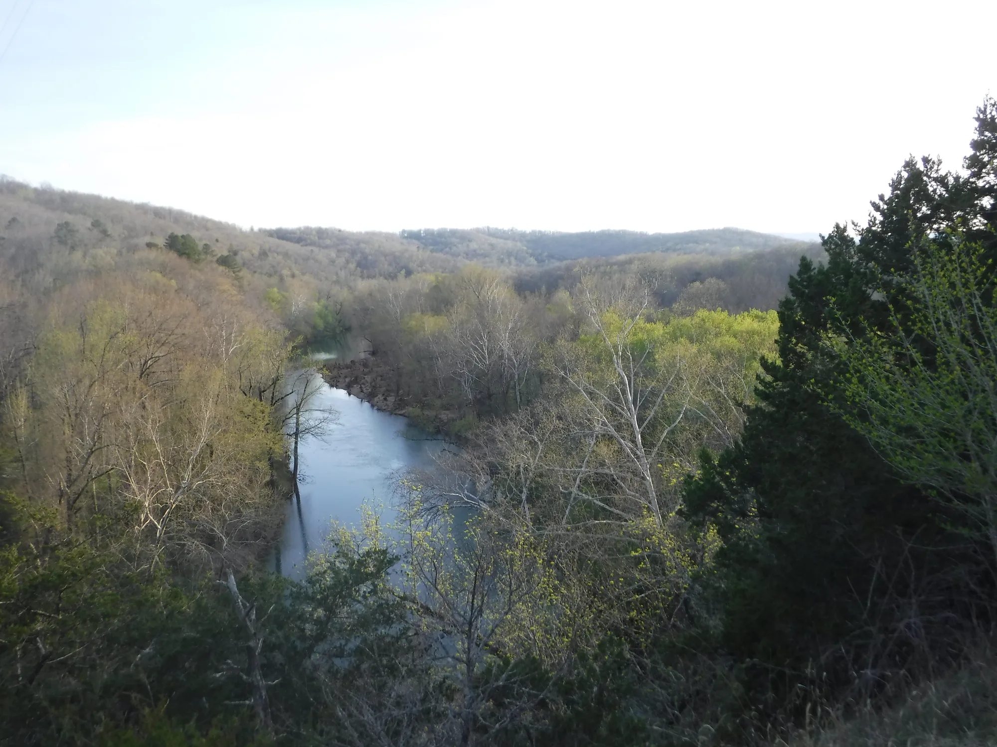
Pruitt offers another way to experience the river without trying to see every district at once. The access area lies downstream from the upper-river communities and connects with the Buffalo River Trail. Depending on the season, a slow walk, a picnic and time by the water may be enough to make the stop worthwhile.
The stretch of trail between Ozark and Pruitt is one of the sections listed by the Park Service. Its published mileage helps with planning, but distances alone do not describe every climb, creek crossing or trail condition. Consult a current map, tell someone your plans and remember that an out-and-back walk doubles the distance you travel in one direction.
This is a useful place to practice a slower itinerary. Instead of racing to another overlook, watch the light on the river and leave room for changing weather. Stay out of private property, use established access points and take everything you bring back with you.
5. Visit Tyler Bend for a lower-key base
Tyler Bend is a practical place to learn about the middle section of the national river. The visitor center offers orientation when open, and nearby trails provide options for people who would rather explore on foot than organize a river trip. Check seasonal hours before making the center your only source of information for the day.
The park’s hiking information identifies several trails around the campground, including Spring Hollow, Buck Ridge and Rock Wall. Some trails here are among the limited routes where leashed pets are permitted, but rules differ throughout the national river. Confirm the specific route and current policy before setting out with a dog; a pet-friendly campground does not make every nearby trail pet-friendly.
Allow time for an unhurried stop rather than treating Tyler Bend only as a place to collect a map. A short walk, a picnic and a conversation with a ranger can help you decide whether your next visit should focus on history, river access or the quieter middle-river landscape.
6. Give Buffalo Point its own day
Farther downstream, Buffalo Point makes a good destination for a separate outing. Its wooded hills, river access and established facilities give families and first-time visitors several ways to spend time without turning the day into a long expedition. It is also a reminder that the Buffalo National River is more than its most photographed upper-river bend.
Hikers can investigate the park’s Buffalo Point-area trails, including the route toward Indian Rockhouse. Read the current trail description before choosing it: a cave shelter can be a compelling destination, but getting there involves the physical demands of an actual trail, not a paved path to an overlook. Carry a light if the Park Service recommends one and leave cave resources undisturbed.
If you plan to stay overnight, check the park’s campground and reservation information rather than assuming that a site will be available on arrival. Conditions at river crossings and facilities can change after storms. Build in time for the drive back, especially if you are unfamiliar with narrow or winding Ozark roads.
Before you go
The Buffalo is a free-flowing river, and conditions can vary considerably by location and season. Check official river-level information and alerts, wear a properly fitted life jacket when paddling, and do not enter high or fast water. Hiking routes can be steep, remote or slippery. Start with the current park map and choose a trip that matches the weather, daylight and your group’s experience.