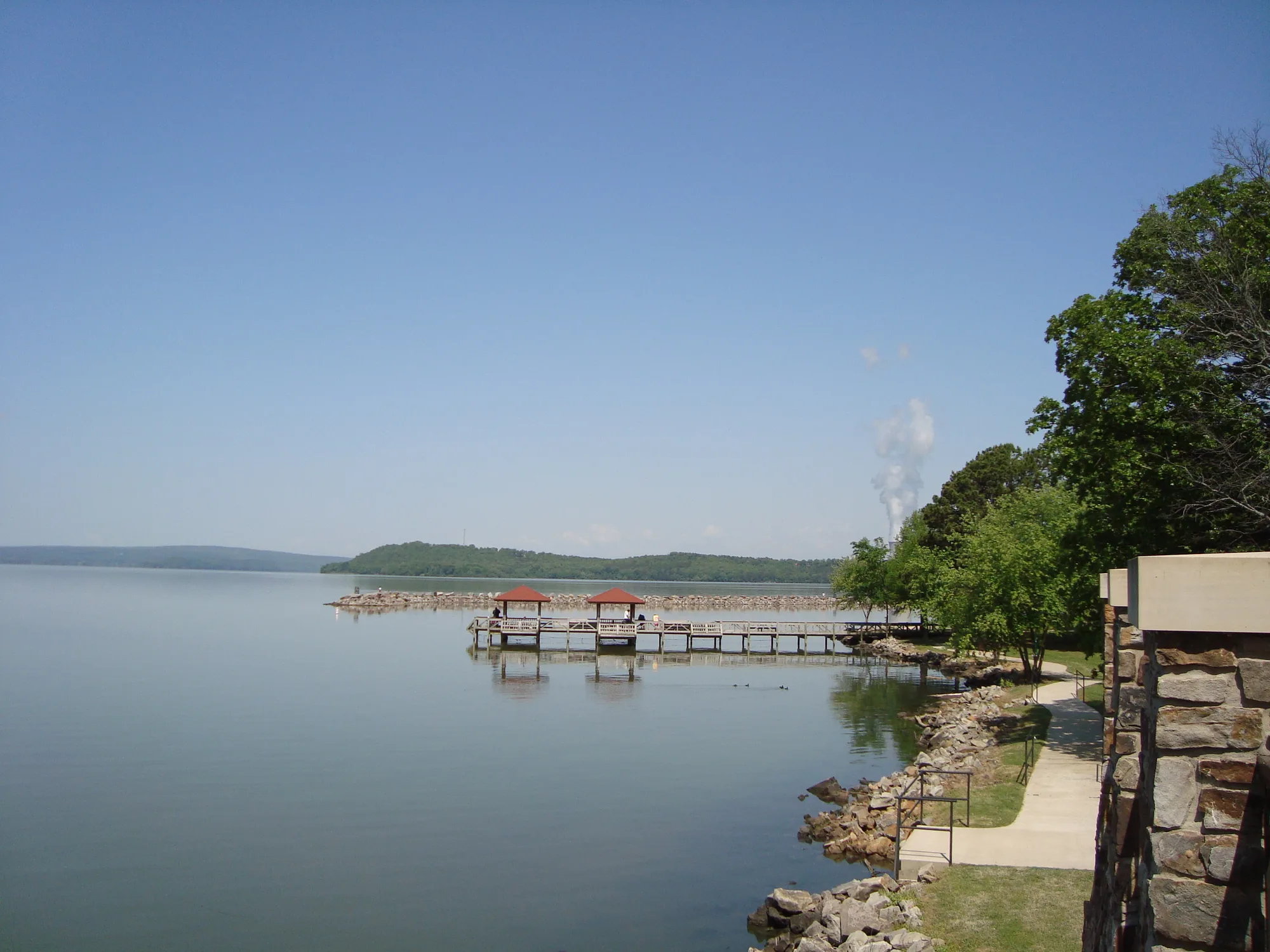
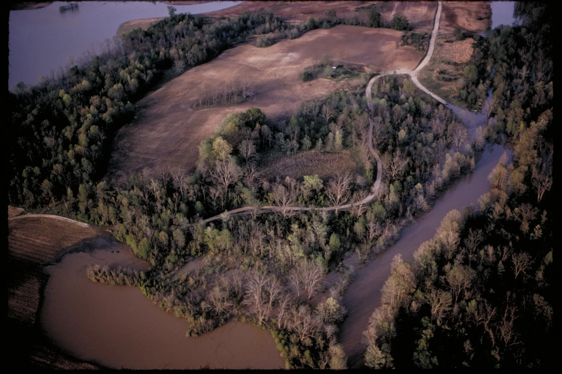
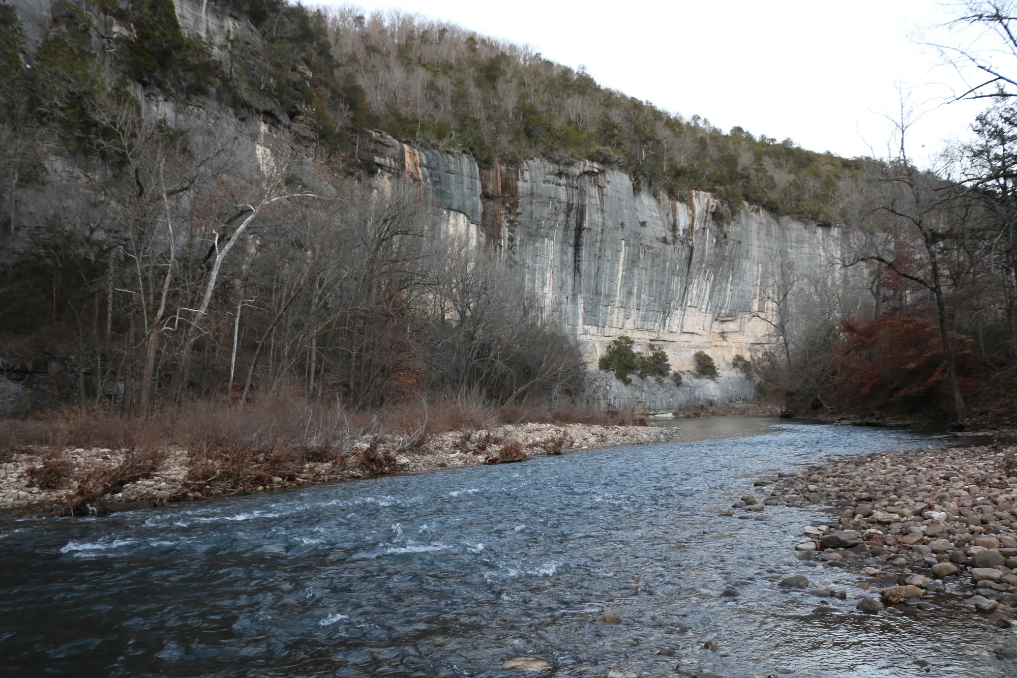
The best Arkansas road trips make room for the stops as well as the scenery. One route passes a national park in the middle of a city, another climbs toward the state’s highest mountain, and another pairs a twisting old highway with a woodland park.
These four drives are ideas for separate outings, not a single itinerary to rush through. Distances on mountain roads can take longer than they look on a map. Fill the tank, check road and weather conditions, and plan breaks where everyone can enjoy the view safely.
1. Scenic 7: From Hot Springs Toward the Ozarks
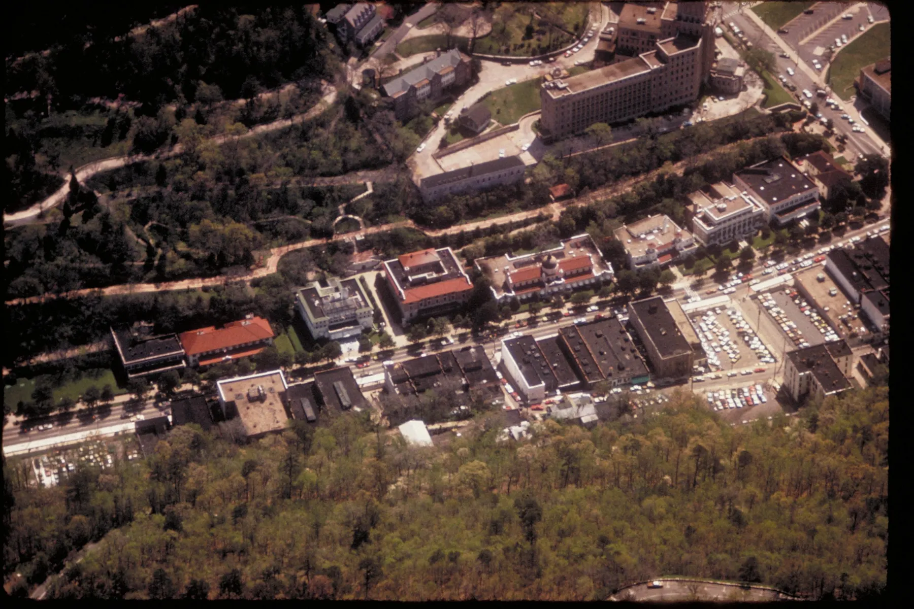
Arkansas Scenic 7 covers a long stretch of the state, and there is no need to drive it all in one day. A useful way to approach it is to choose one section and allow time for the communities and public lands along the way. Arkansas Tourism describes the route passing through Hot Springs, the Arkansas River Valley and north into the Ozarks.
In Hot Springs, the route passes the historic Bathhouse Row of Hot Springs National Park. Park the car and explore the area on foot if time allows. The Fordyce Bathhouse visitor center is a good place to learn about the bathhouses and the city’s history; check operating hours before building the day around an indoor visit.
Farther north, the route crosses the Arkansas River Valley and climbs toward the mountains around Jasper. The scenery changes with the elevation and the road can become sharply winding. Jasper’s square makes a practical pause for a meal or a walk, with Buffalo National River country within reach for a separate outing.
Pick an endpoint that leaves enough daylight for the return trip. If your passengers are sensitive to curves, make the mountain section shorter and plan frequent stops. The view is best appreciated from a designated parking area, never from the travel lane or a narrow shoulder.
2. Highway 309: Paris, Mount Magazine and Havana
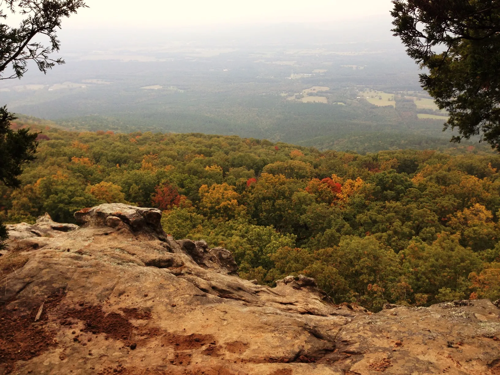
Highway 309 climbs through the Mount Magazine area between Paris and Havana. The state tourism office describes this road as a way to reach Mount Magazine State Park, with a stop at the lodge providing an opportunity to get out of the car and take in the setting.
The mountain’s height and broad views make this more than a connecting road. A visitor can combine the drive with a picnic, an easy walk or a longer hike, depending on time and conditions. The park has several trails, but they differ in length and difficulty; use the official park map to choose one that fits your group instead of assuming every path is a quick stroll.
The Benefield area provides trail options near Highway 309. Check the park’s current trail descriptions, weather and any alerts before heading out, especially in winter or after a storm. Even when conditions in the valley are comfortable, the mountain can feel different.
For a relaxed day, stop in Paris or Havana for supplies before the climb and make the park the center of the itinerary. Allow time to enjoy the overlooks without hurrying, and check lodging or dining availability directly with the park if those are part of the plan.
3. Boston Mountains Scenic Loop: U.S. 71 and a Devil’s Den Detour
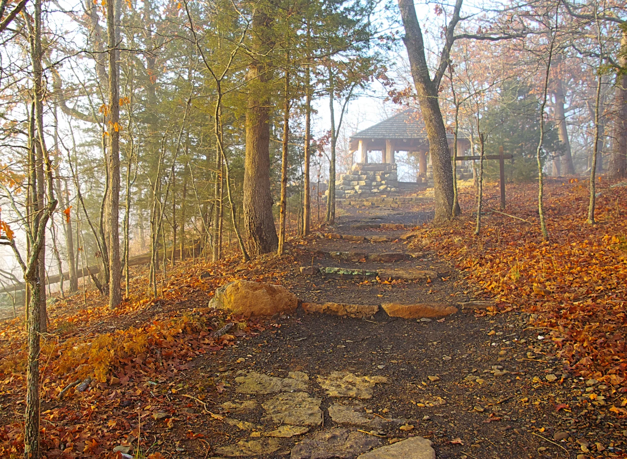
The Boston Mountains Scenic Loop brings together two roads with distinct characters: winding U.S. 71 and Interstate 49. Arkansas Tourism describes the older highway as a closer, slower encounter with the mountain landscape, while the interstate crosses the region by bridges and a tunnel.
Drive the portion that suits your time, then consider a side trip to Devil’s Den State Park. It is not on the loop itself, so allow additional time for the detour. In the park, the historic Civilian Conservation Corps structures and the wooded Lee Creek valley provide a reason to get out and explore rather than treating the park as a quick roadside photo.
The park has trails and other activities, with conditions and access depending on the season. Check the state park’s information before choosing a hike. Some trails have uneven or rocky surfaces, and a steep viewpoint may not be appropriate for every visitor.
Food and fuel are easier to plan around the larger communities at the ends of the loop. Keep the older road’s bends in mind, especially after rain or in low light, and use the interstate for a more direct return if that better suits the group.
4. Talimena Scenic Byway: Mena Toward the Oklahoma Line
The Talimena Scenic Byway climbs from Mena into the Ouachita National Forest along Arkansas Highway 88, passing Queen Wilhelmina State Park on the way toward Oklahoma. The state describes the route as a ridge drive on Rich Mountain, with opportunities to stop and enjoy the surroundings.
Set out with enough time to pause at designated overlooks rather than trying to see the entire road from a moving car. Weather can change the experience: clear conditions offer longer views, while fog, rain or winter weather can reduce visibility and make the curves more demanding. Check the forecast and road status on the day you leave.
Queen Wilhelmina State Park makes a natural longer stop. Confirm current services and hours before counting on a meal or overnight stay, and check trail information if you plan to walk. Families may prefer to combine a short park stop with just part of the route rather than measuring success by the number of miles driven.
Fall color attracts many travelers, but timing varies from year to year and there is no guaranteed peak weekend. Spring and summer bring their own woodland scenery. Whenever you go, keep your speed comfortable for the road, watch for other visitors entering overlooks and leave room for an unplanned break.