An Arkansas river trip does not have to begin with a boat. A scenic overlook, a park trail, a museum visit or a quiet moment near the bank can be just as memorable. From the clear water below Bull Shoals Dam to the rocky Cossatot and the broad Arkansas River, these five places offer very different ways to spend time near the water.
Choose the stop that fits your group and the conditions on the day. River levels can change quickly, particularly after rain or downstream from a dam. Check official conditions, carry drinking water and wear a properly fitted life jacket whenever you are on the water.
1. Buffalo National River: Bluffs, Trails and River Access
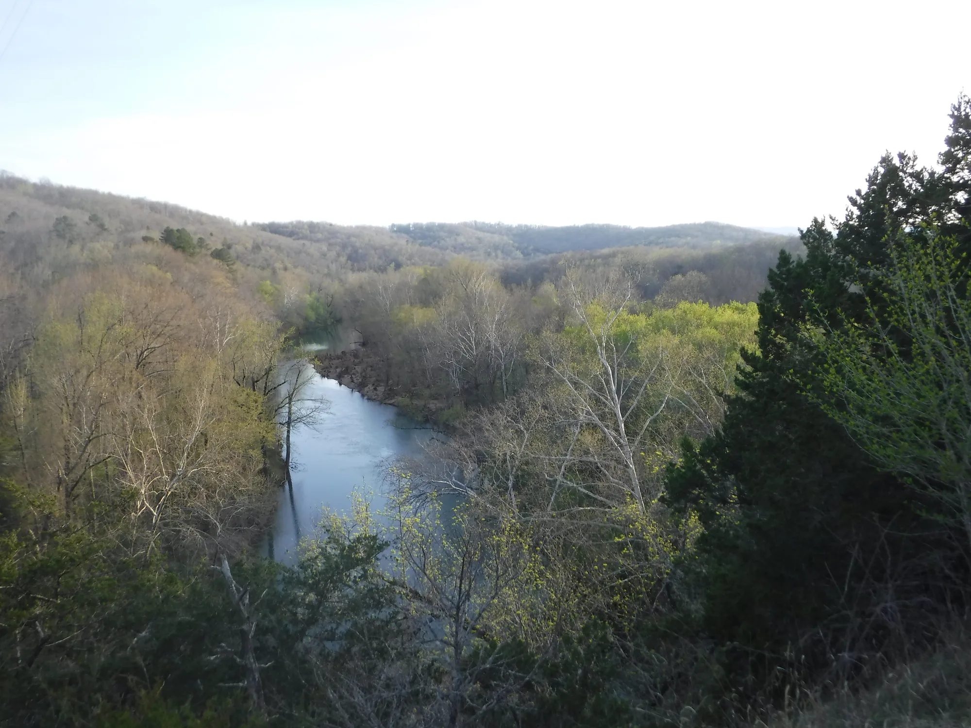
The Buffalo National River follows a long corridor through the Ozarks, so a good visit starts with choosing one area rather than trying to see the entire river. The National Park Service provides information on access points, trails, camping and river conditions. Near Pruitt, for example, visitors can reach the river and use the area as a starting point for exploring this part of the park.
Paddling is popular, but a float requires more preparation than picking a pretty stretch on a map. Water levels and weather affect whether a section is suitable, and conditions after rain can change rapidly. Check the park’s current guidance and select an outing that matches the experience of everyone in your group.
If you prefer to stay dry, choose a trail or a riverside viewpoint and leave time to notice the surrounding bluffs and forest. Use established parking and trails, pack out what you bring, and keep a respectful distance from wildlife. A short stop can provide a satisfying introduction to the river without committing the day to a long excursion.
2. Bull Shoals–White River State Park: A Tailwater and a Lake
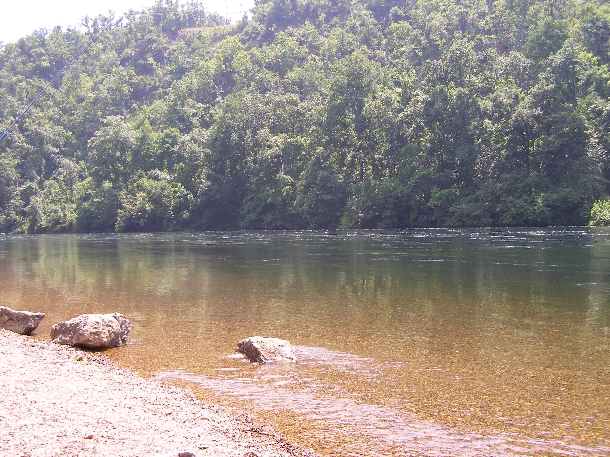
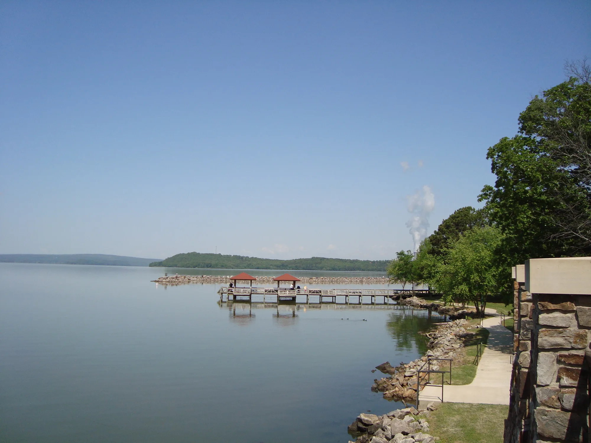
Below Bull Shoals Dam, the White River flows past a state park known for trout fishing. The park also connects visitors to Bull Shoals Lake, so the landscape changes from a wide reservoir above the dam to cold river water below it. Arkansas State Parks has a visitor center overlooking the dam and information on the area’s history and recreation.
Walk a park trail, spend time near the river or ask staff about interpretive programs. Anglers should consult the Arkansas Game and Fish Commission for the current licenses, trout rules and any special regulations before casting. The park’s marina and services may have seasonal schedules, so confirm rentals and operating hours directly.
The dam makes water conditions particularly important. Releases can raise the river rapidly; check the current generation schedule and local safety guidance before wading, fishing or launching a boat. A view from shore is a fine alternative when the water or weather does not suit your plans.
3. Cossatot River State Park–Natural Area: A Rocky River Landscape
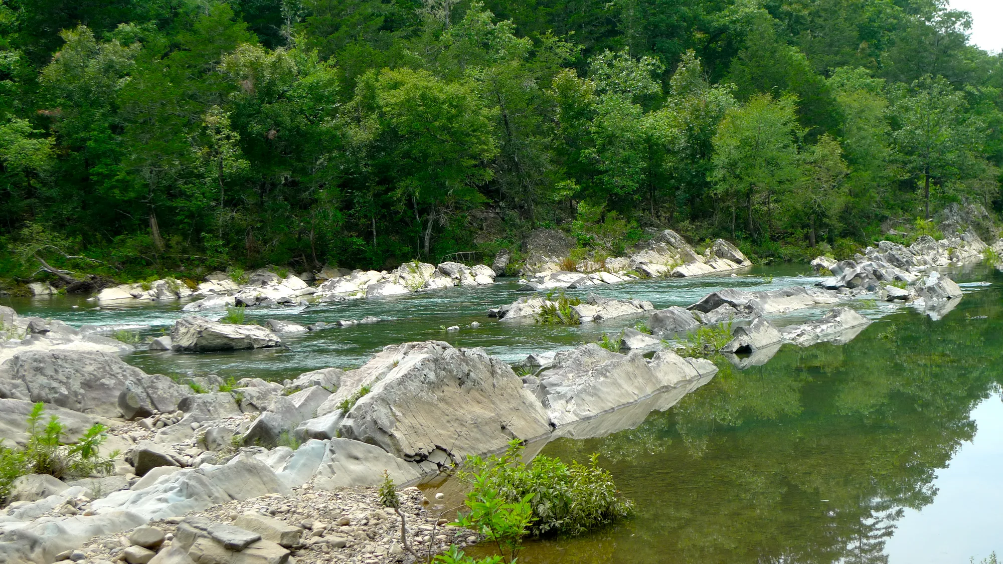
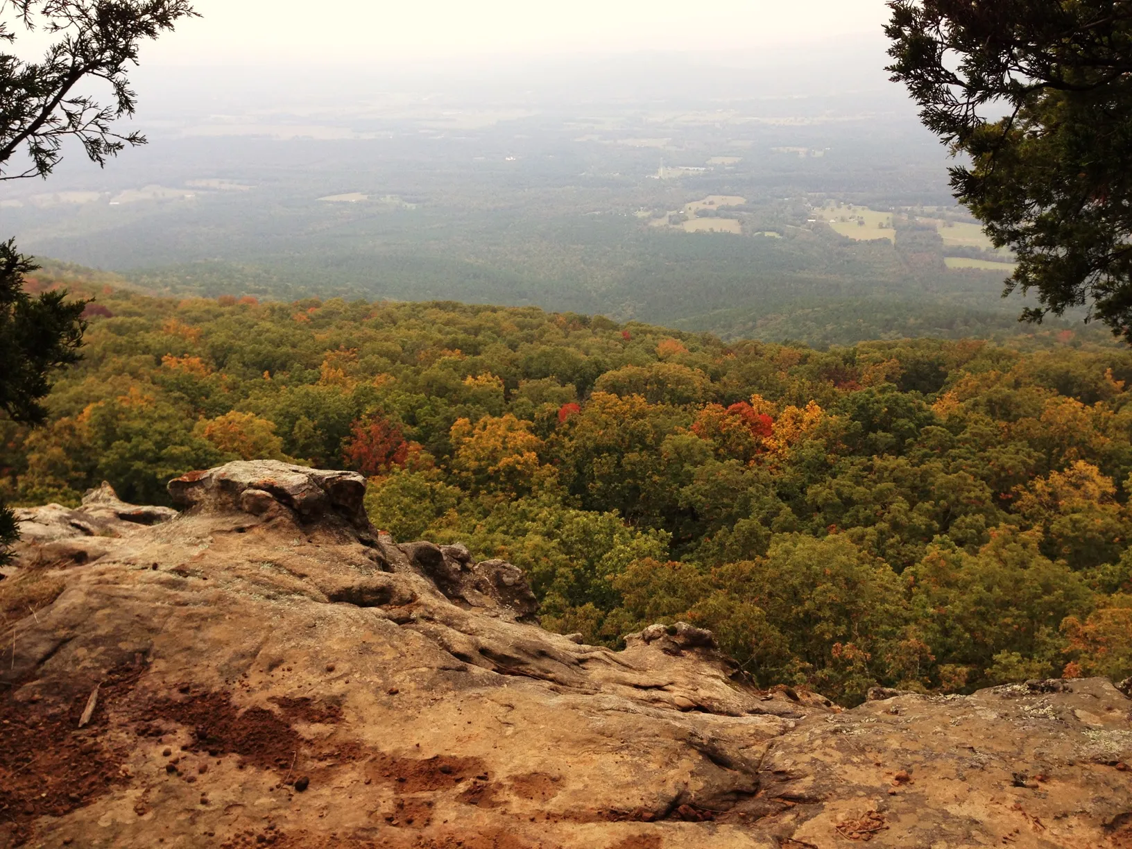
The Cossatot cuts through a rugged setting of exposed rock and woodland in western Arkansas. The state park–natural area protects a stretch of the river and offers a visitor center with exhibits as well as trails. Start with the park’s map and ask about current access before choosing where to go.
The scenery can look inviting in a photograph, but the river’s rapids demand respect. Arkansas State Parks describes Cossatot Falls as a rocky canyon with Class V rapids for experienced paddlers when rainfall increases the flow. This is not a place to assume a beginner-friendly float; even experienced boaters must assess current water and weather conditions.
A land-based visit can focus on the geology and the sounds of moving water. Pick an established trail that suits your ability, wear sturdy shoes and stay away from slippery rocks or steep edges. Check the forecast, carry water and let someone know your plan for a longer walk.
4. Arkansas Post National Memorial: Water and Centuries of History
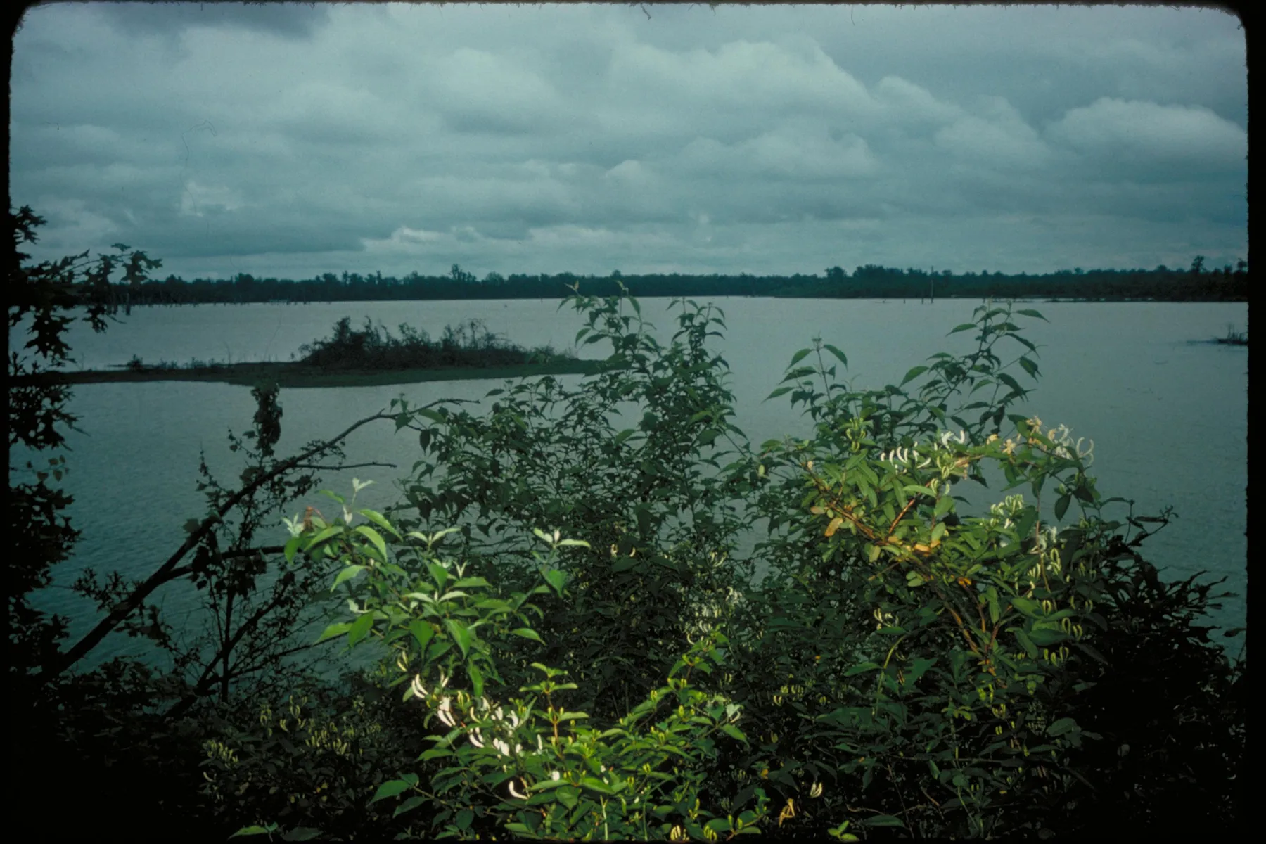
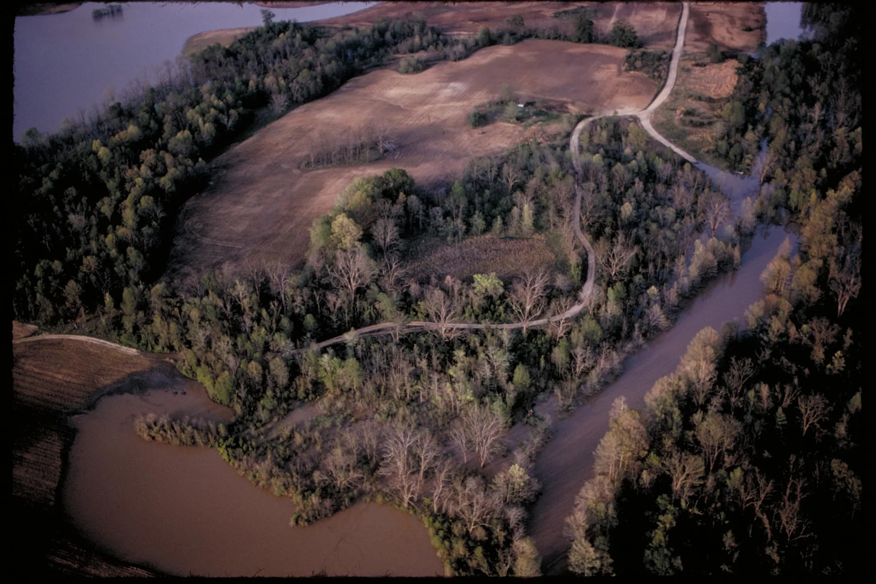
Arkansas Post offers a different river experience in the southeast part of the state. Here the National Park Service interprets a landscape shaped by Indigenous nations, European colonial powers and the United States. Waterways influenced settlement and trade, while the course of rivers and the location of communities changed over time.
Begin at the visitor center for the historical background, then walk the memorial grounds using the park’s current map. The water and surrounding landscape provide a chance to think about why this location mattered to so many people, while exhibits explain the different experiences and conflicts connected to it.
Protective closures and boundaries safeguard sensitive archeological resources. Stay on designated paths, do not climb on protected earthworks and leave objects where you find them. In warm weather, bring water and insect protection; check the park’s alerts for trail or facility changes.
5. Fort Smith National Historic Site: The Arkansas River and the Trail of Tears
At Fort Smith, the river is part of a story about movement, power and forced removal. The National Park Service interprets the site’s military and federal court history alongside the Trail of Tears, including routes used during the forced removal of Native peoples from their homelands.
Visit the exhibits in the historic barracks, courthouse and jail building, then explore the grounds and river trail when open. The walk puts the waterway in view, while the exhibits provide context that a landscape alone cannot. Allow time to read and reflect; this is a place where the history deserves as much attention as the scenery.
Check visitor center hours and current conditions before arriving. The five destinations in this guide are widely separated, so choose one region for a day trip or plan a longer journey rather than trying to connect them all in a single day.