Dinosaur National Monument has a name that suggests fossils, but its Colorado side offers another kind of discovery: deep river canyons, high overlooks and long stretches of remote country. The Green and Yampa rivers have shaped a landscape that deserves time and preparation, whether you stop for a short view or plan a longer drive.
These five ideas focus on the monument's Colorado canyon country. If your main goal is seeing dinosaur bones, plan separately for the Quarry Exhibit Hall near Jensen, Utah. The National Park Service says dinosaur fossils are not visible in the Colorado portion of the monument.
1. Get Oriented at the Canyon Visitor Center
The Canyon Visitor Center is near Dinosaur, Colorado, off U.S. Highway 40. It is a sensible place to ask about weather, current access, trail conditions and the drive ahead. The center is seasonal, so confirm its hours rather than assuming it will be staffed when you arrive.
Fill your tank and bring what you need before setting out. The National Park Service says fuel, food, water and other services are not available along Harpers Corner Road; the nearest services are in the town of Dinosaur. Carry water and layers, download maps before you leave reliable service and tell someone your plans.
The monument sits in two states, and the Colorado and Utah visitor areas have different attractions. Check the destination in your navigation system carefully. A generic pin for the monument can lead you somewhere other than the visitor center or trailhead you intended to reach.
2. Follow Harpers Corner Road
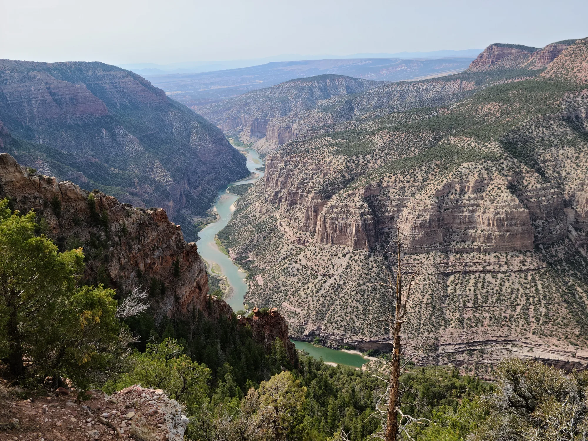
The paved Harpers Corner scenic drive runs roughly 31 miles one way from the visitor center toward the canyon overlooks. The route climbs through changing vegetation and has several places to pause. Rather than treating the drive as a race to the end, choose a few viewpoints and allow time to take in the scale of the river country.
The park lists the overlooks along the route as wheelchair accessible, although visitors should check current conditions and ask about the surface or facilities that matter to them. Picnic areas and vault toilets are available at some stops; they are not a substitute for bringing enough water.
Snow can close the road beyond Plug Hat Butte in winter, and opening and closing dates depend on weather. The park's conditions page is the best place to check before leaving. Slow down on the winding road and pull over only in designated areas.
3. Walk at Harpers Corner if Conditions Allow
At the end of the scenic drive, the Harpers Corner Trail leads toward expansive views of the Green and Yampa river canyons. Check the current trail description, distance and conditions before deciding whether the walk fits your group. Exposure, weather and altitude can make a route feel more demanding than the mileage alone suggests.
The park notes that observant visitors may see fossils of small ancient marine animals in rocks along this trail. These are not dinosaur bones. Leave all fossils and rocks in place for others and follow the monument's resource-protection rules.
Bring water even for a comparatively short outing and keep back from canyon edges. If thunderstorms, strong wind or ice make the walk a poor choice, the road's overlooks can still provide a worthwhile experience.
4. Treat Echo Park as a Separate, Conditions-Dependent Trip
Echo Park lies below the canyon rim, reached by a steep, unpaved road with sharp turns. It is not simply the next paved overlook after Harpers Corner. The National Park Service warns that Echo Park Road is impassable when wet, and vehicles and drivers need to be prepared for remote conditions.
As of the park's current-conditions report checked November 16, 2026, Echo Park Road and the campground were temporarily closed to motorized access and camping because of storm damage. Another park page describes the affected section differently, so rely on the latest official conditions and contact the monument before making plans. Do not drive around a closure.
When the area eventually reopens, confirm vehicle suitability, weather and services before going. A remote-road outing requires more supplies and time than a paved scenic drive, and help may not be close by.
5. Plan a Separate Journey to the Gates of Lodore
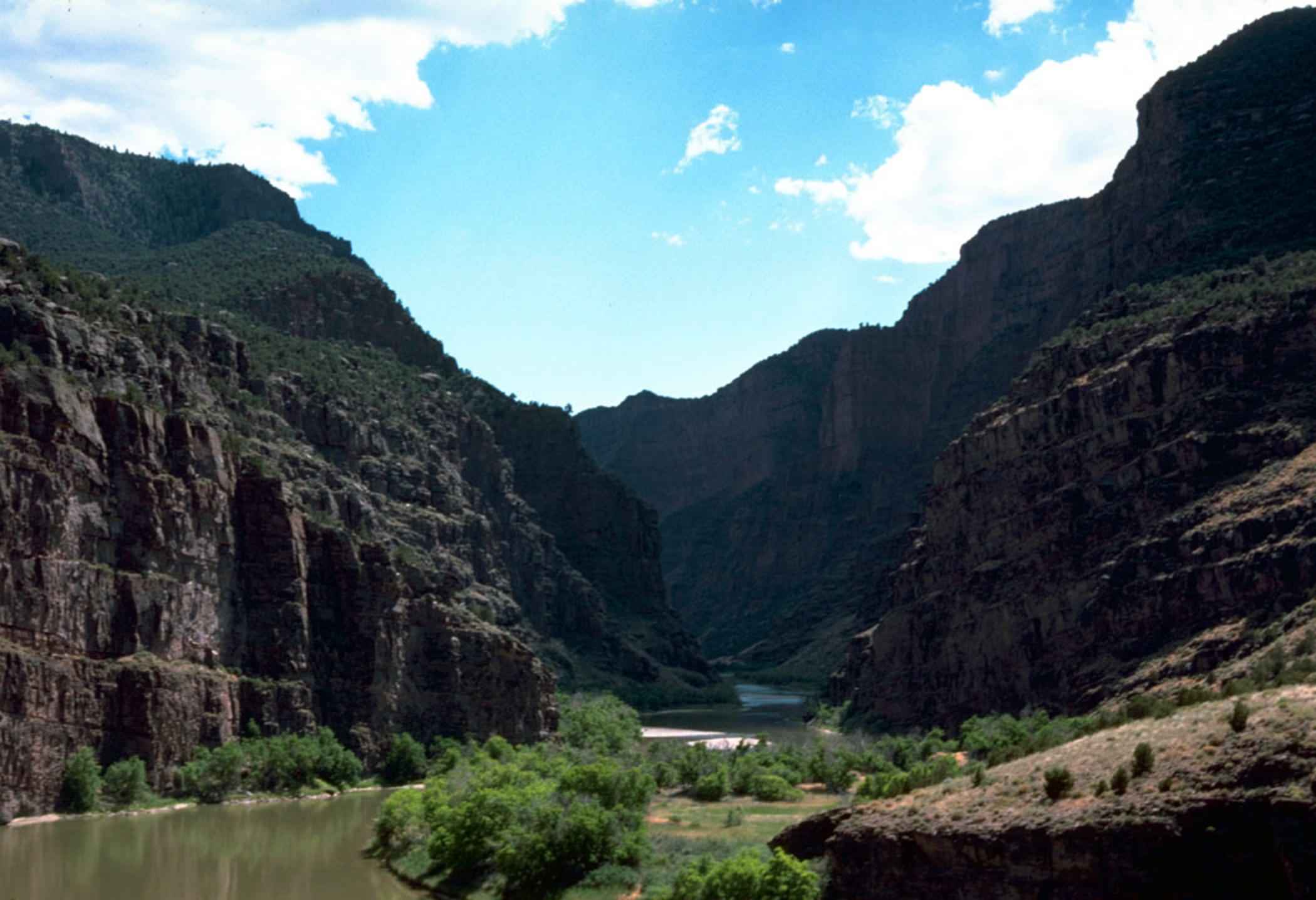
At the monument's northern end, the Green River enters the Gates of Lodore through a dramatic canyon opening. The park emphasizes that reaching this area is a long drive through isolated country, so it is better planned as its own excursion than added casually to a Harpers Corner afternoon.
The place has a long human history. The National Park Service notes that Native American tribes hunted and fished in the region for generations before later travelers passed through. Take time to learn about that wider history as well as the landscape.
Check road conditions, fuel, weather and daylight before leaving. If you plan to travel on the river, research the permit, equipment and experience requirements separately; a scenic viewpoint does not imply that the rapids are suitable for an unprepared outing.
Before You Go
Check the monument's latest road, campground and trail status immediately before your trip. Conditions can change after storms, and services are widely spaced. Carry water, appropriate clothing and a reliable map, and choose an itinerary that leaves room to turn around safely.