Illinois rewards travelers who leave room in the itinerary for a walk. The state’s parks lead to river bluffs, quiet lakes, wooded trails and a Lake Michigan shoreline, often with a picnic table or a small town close enough to turn the outing into a full day.
These seven parks offer different kinds of trips, from a well-known Illinois River canyon country to a lake-filled park near Rockford. They are spread across the state, so think of the list as a collection of separate outings rather than a single weekend route. Check the Illinois Department of Natural Resources (IDNR) for current conditions before setting out: repairs, hunting seasons, weather and water levels can change which areas are available.
1. Illinois Beach State Park: Lake Michigan without a city skyline
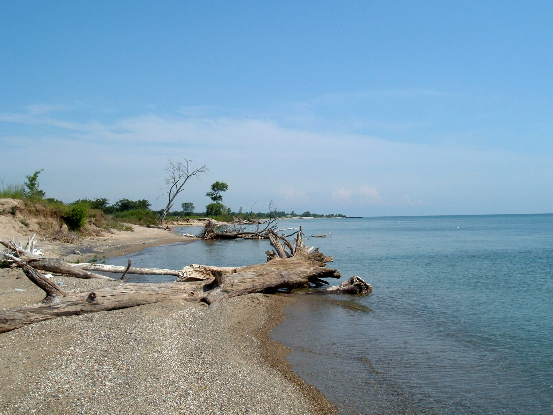
At Zion, Illinois Beach State Park offers a stretch of Lake Michigan shoreline where sand, dunes, wetlands and oak woods give the lake a very different feel from a downtown waterfront. The changing light and wide horizon make it a rewarding place for a walk even when the weather is too cold for a beach day.
The park has separate areas and facilities; check a current map before choosing where to park. Stay on marked routes and respect signs protecting sensitive dune habitat. Sand and uneven ground can make a walk more demanding than its distance suggests, while waves and wind can change conditions quickly.
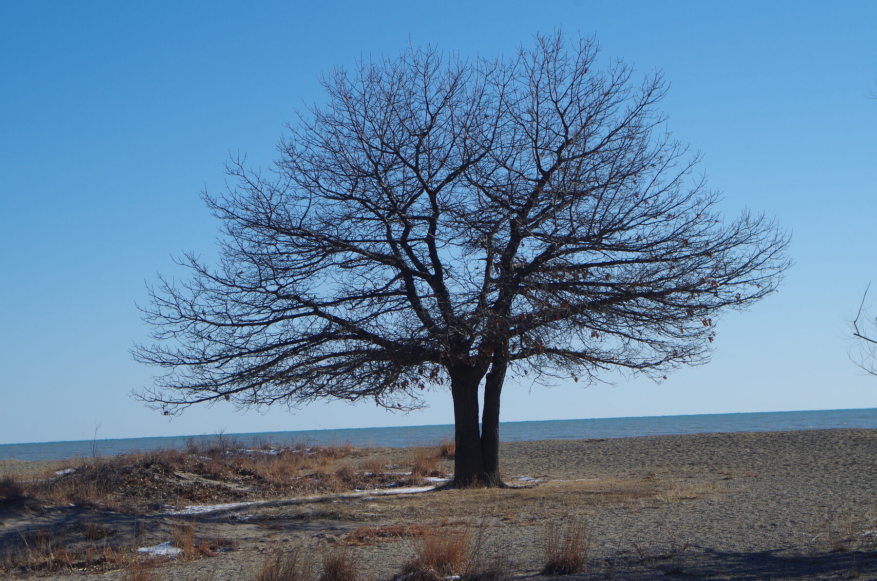
Swimming access, water quality and beach conditions can change. Consult the park and public-health notices on the day of a visit, and never assume a quiet-looking shoreline means the water is safe. For a non-swimming outing, bring binoculars and enjoy the lake from a suitable viewing area.
A visit can be as simple as a picnic and time by the water, or part of a longer exploration of the Lake County shoreline. Allow for a change of plan if weather rolls in from the lake: the open shore offers little shelter when winds strengthen.
2. White Pines Forest State Park: A woodland outing near Mount Morris
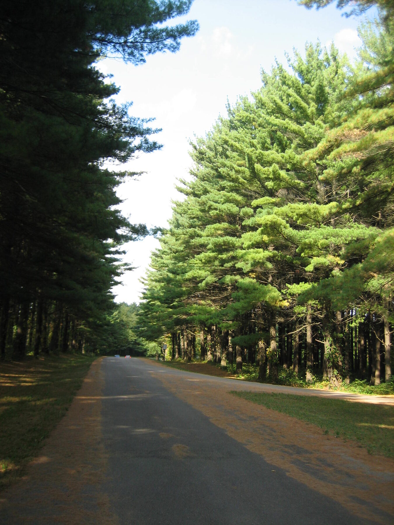
White Pines is a place for a slower kind of trip. Pine Creek and Spring Creek wind through a wooded landscape of pines, limestone bluffs and picnic areas. Shorter marked walks make it possible to sample the park without committing the whole day to a long trek.
IDNR lists seven marked trails, including several under a mile, and describes a limestone-screened nature trail suitable for visitors with physical challenges. Surfaces and individual access needs differ, so contact the park about current conditions before relying on a specific trail. In damp weather, watch for mud and slippery footing.
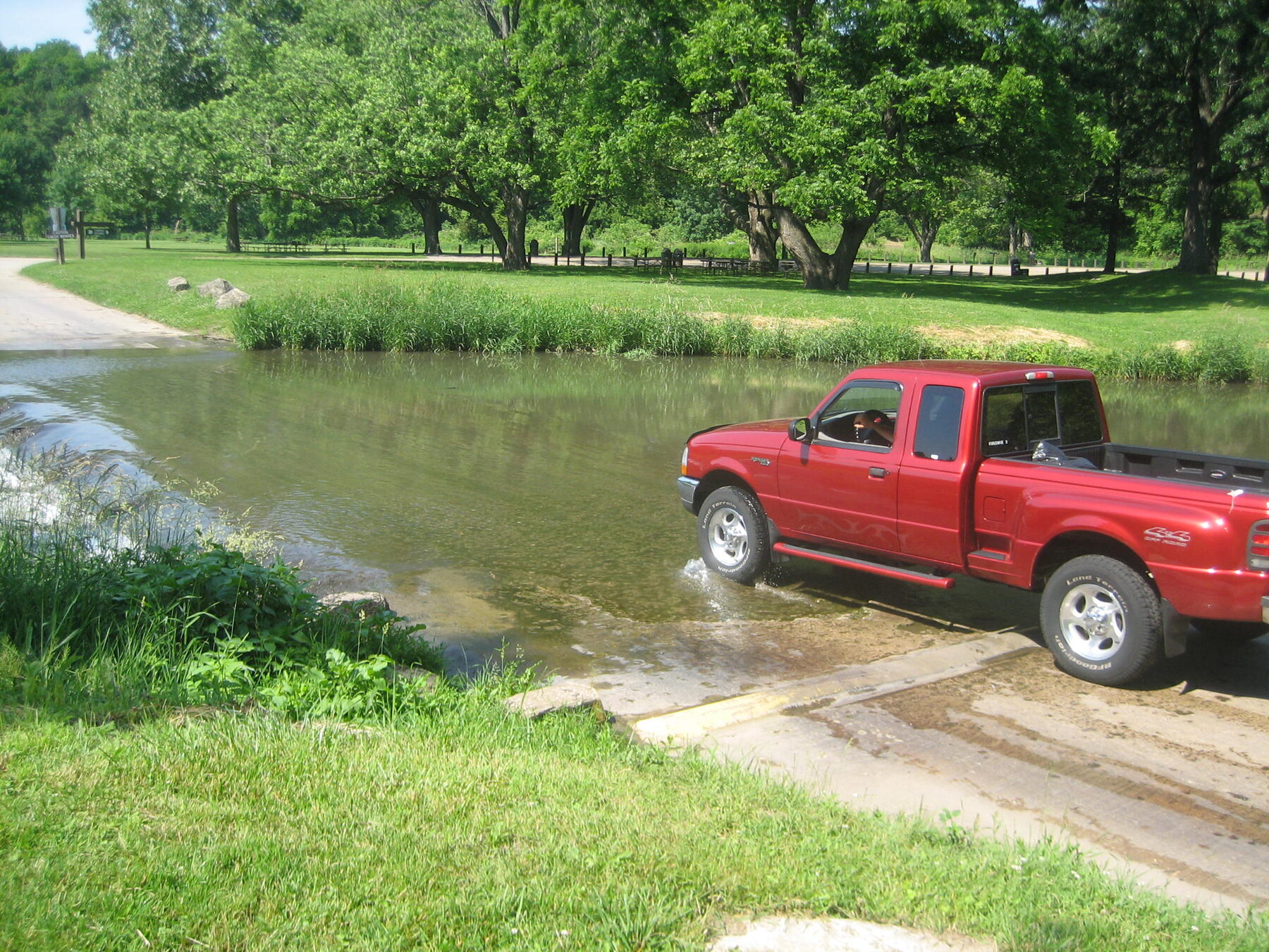
As of November 2026, the park reports repairs to pedestrian bridges at the first and second fords, with work planned one bridge at a time. The vehicle fords remain open, but check the latest notice and never drive through water if conditions make the crossing unsafe.
The park also lists day-use, trail and campground closures for managed deer hunts on November 16–18 and November 30–December 2, 2026; the lodge, restaurant, cabins and immediate surrounding lawns remain open under the posted notice. Verify the current schedule before traveling. The historic lodge provides another reason to linger, with cabins and a restaurant whose hours should be checked separately.
3. Kickapoo State Recreation Area: Ponds and trails near Danville
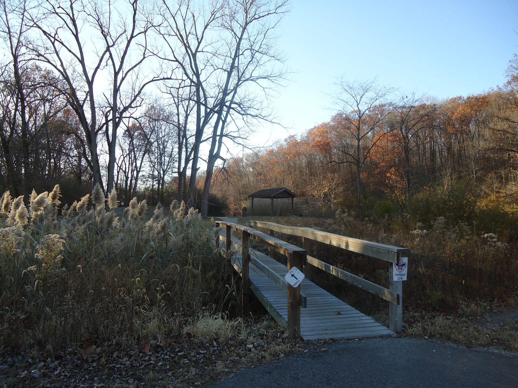
Kickapoo’s wooded hills and ponds have an industrial history: the site was once surface-mined land. Today the landscape supports recreation, wildlife and a network of trails, giving visitors a chance to see how a place can change over time without erasing its past.
Near Oakwood, the recreation area has numerous ponds and both short and more demanding trails. Review the map before choosing a route; IDNR describes one 7.6-mile out-and-back course as difficult, while noting that easier walks are also available. Mountain bikers should follow the designated directional routes and check conditions, since the park closes bike trails after rain until they dry.
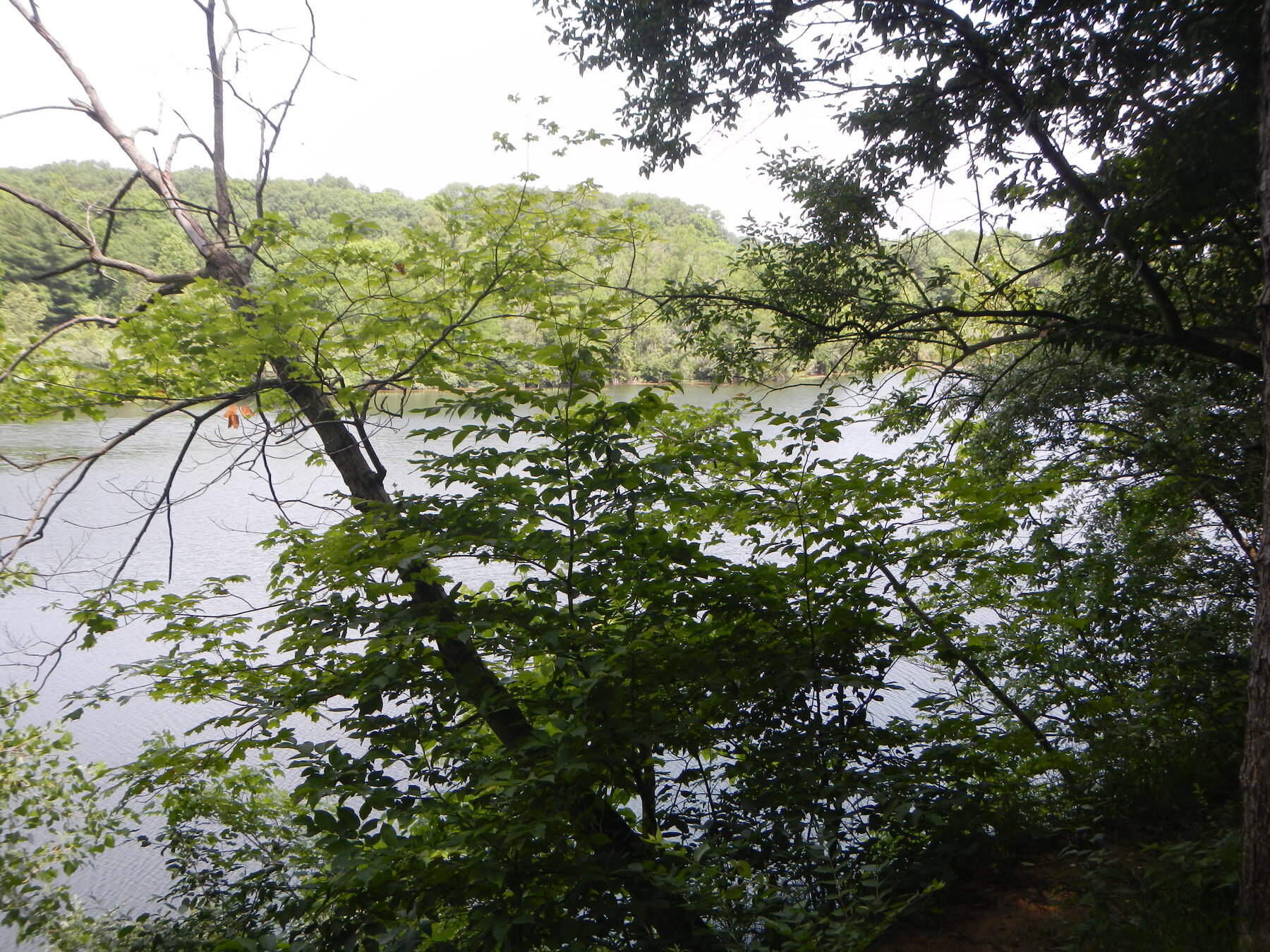
There is an important current water-access warning. IDNR says the Middle Fork Vermilion River is closed to public access within the recreation area while officials assess riverbank stability. A separate project notice also describes downstream construction; check with the park for the current extent of restrictions before planning any paddling trip. The ponds and the river are distinct parts of the site, and visitors should verify which waters and facilities are open.
Pack a picnic, take a walk, and leave time to look across the ponds. Camping and other activities have their own rules and seasonal conditions, so check reservations and notices rather than assuming every service is available year-round.
4. Pere Marquette State Park: Illinois River bluffs near Grafton
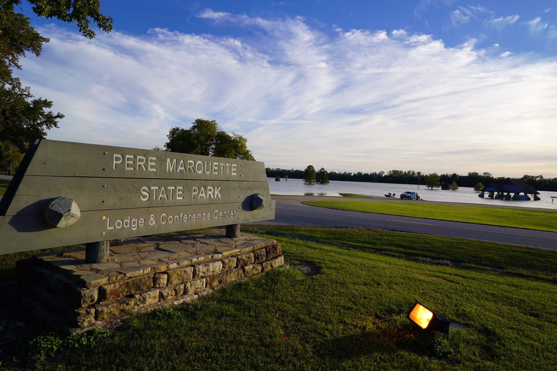
Pere Marquette puts visitors above the Illinois River and its backwaters, with wooded bluffs and overlooks that invite a long look. The visitor center’s three-dimensional map and exhibits are a useful starting point for understanding the park before choosing a trail.
IDNR describes about 12 miles of marked hiking trails. The routes vary, and a bluff-country walk can involve climbs and uneven ground, so ask staff for a suggestion that fits your time and experience. Dogs must be leashed, and bicycles are not allowed on the hiking trails. For a ride, consider the separate Sam Vadalabene Bike Trail and check its current conditions.
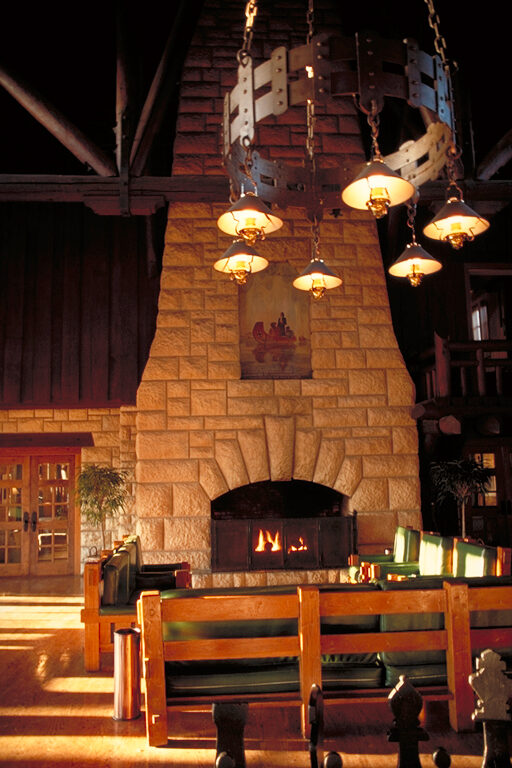
The scenic drive offers another way to experience the setting when a long hike is not practical. Confirm current road and trail access before departure, particularly after severe weather. The park’s winter visitor-center hours differ from its other seasons; the agency currently lists Monday through Saturday hours and Sunday closure from November through March.
The historic lodge and cabins make an overnight visit possible, though lodging and dining availability should be checked directly. Grafton and the river road provide places to add a meal or another stop, but the most memorable part may be the time spent watching the broad river landscape from above.
5. Clinton Lake State Recreation Area: A central Illinois lake day
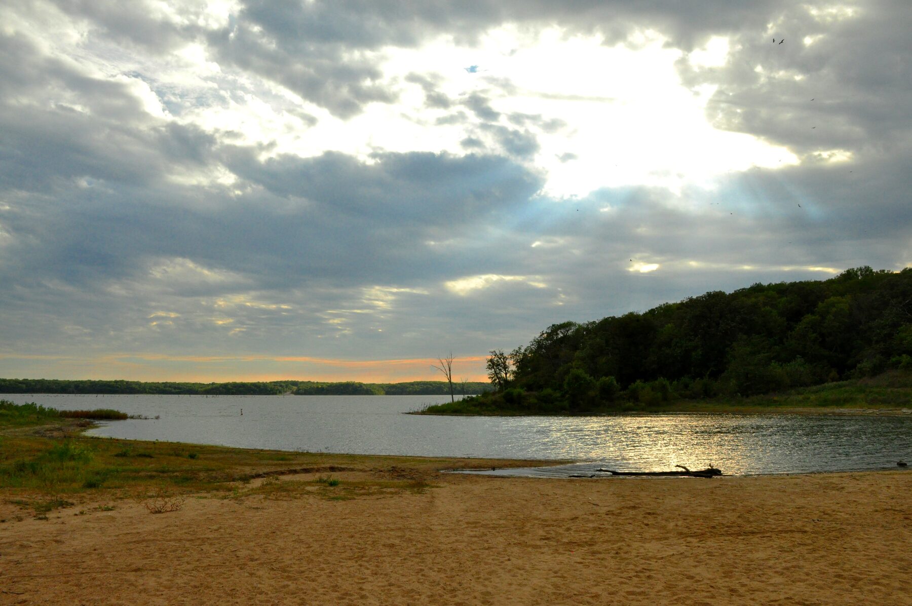
East of Clinton, this recreation area is organized around a large lake, with places to fish, launch a boat, picnic and walk near the water. It is a useful central Illinois option for a family or group whose members do not all want the same kind of outing.
IDNR describes easy-to-moderate trails near the beach and a much more demanding North Fork route on steep wooded banks. Choose a route from the official map, check its current status and carry enough water; do not treat a lengthy primitive trail as an interchangeable alternative to a short lakeside walk.
The sandy beach operates seasonally, generally between Memorial Day weekend and Labor Day, weather permitting. Hours, fees and water conditions can change, so check the current park notice before promising a swim. IDNR says no lifeguards are present. Follow posted rules, supervise children closely and stay within designated areas.
Campgrounds and boat facilities add options for a longer stay. Reserve a campsite through the state system and check the applicable boating and fishing regulations. On a cooler day, a shoreline walk and picnic can be just as good a reason to make the trip.
6. Rock Cut State Park: Lakes and trails close to Rockford
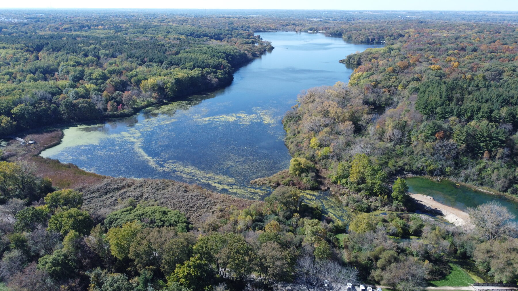
Rock Cut, in the Loves Park area, is a convenient choice when a day outside needs to fit around a city visit. Pierce Lake and Olson Lake give the park a water-centered character, while its trail network offers plenty of ways to explore the rolling landscape on foot.
The trails are shared in different ways, so the color and route matter. IDNR identifies blue routes for mountain biking and hiking, yellow for equestrian use and hiking, and red for hiking only. Check trailhead information and seasonal rules before setting out; wet weather and maintenance can affect conditions. The park does not rent horses or have a riding stable on site.
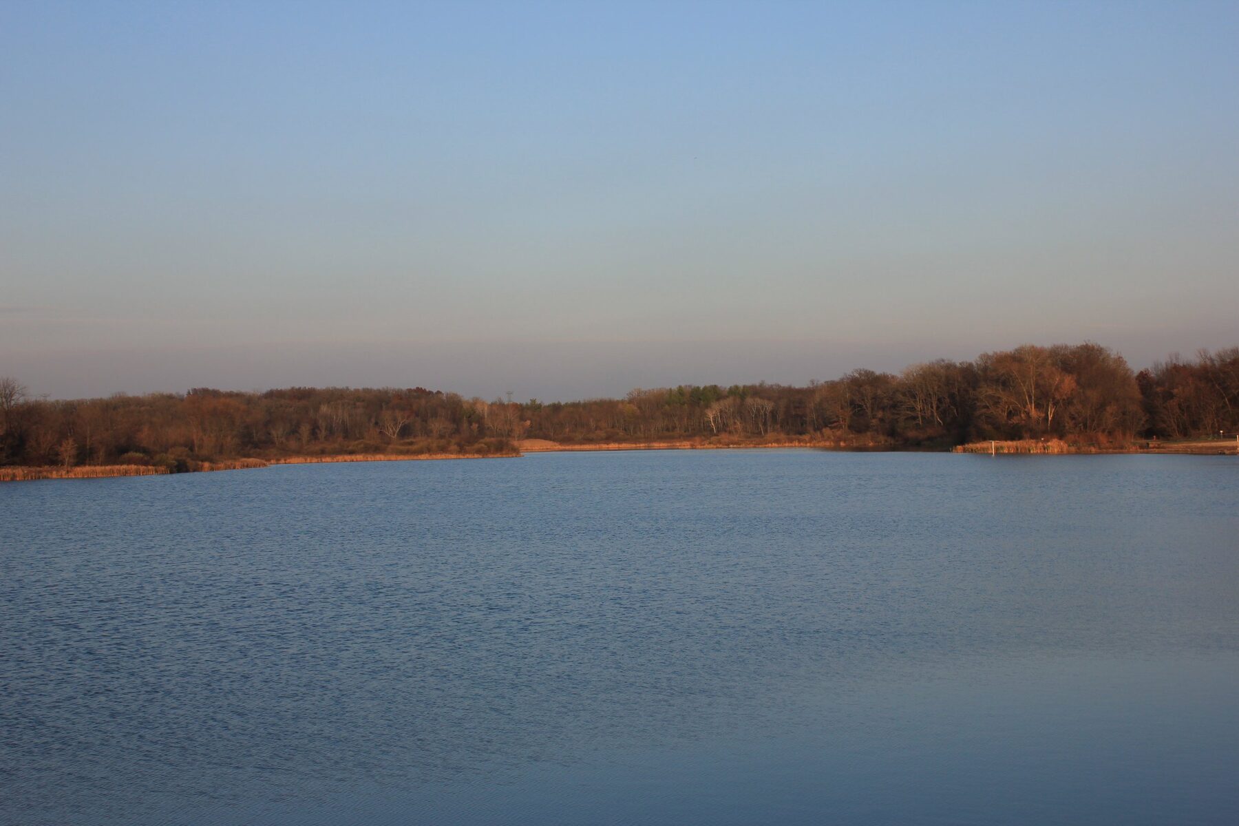
Fishing, wildlife watching and camping add reasons to return in different seasons. In warm weather the lakes can be the focus of a picnic or a quiet walk; in colder months, check the agency’s current guidance and never assume ice is safe. Bring binoculars if you enjoy watching waterfowl, and leave wildlife plenty of space.
Rock Cut is an alcohol-free park and campground. Campers should reserve or check availability through the state system and confirm the rules for their site. For day visitors, a map and a realistic return time make it easier to enjoy the trails without turning a relaxed outing into a rushed one.
7. Chain O’ Lakes State Park: A water-country getaway with seasonal limits

Near the Wisconsin border, Chain O’ Lakes offers a different view of Illinois: a landscape shaped by natural lakes, the Fox River and the people who come to enjoy them. The park borders Grass, Marie and Nippersink lakes as well as the river; it also contains Turner Lake within its boundaries.
Boating and fishing are obvious draws, but you do not need a boat to make a visit worthwhile. IDNR lists several trail systems and picnic areas, including the Nature’s Way hiking trail and an accessible trail at Pike Marsh North. Check current route conditions and facility access before you go, particularly if an accessible surface is necessary for your group.
The seasonal calendar is essential here. The park says it closes to visitors for part of the fall hunting season, while the Maple Grove and Oak Point boat launches remain open. Its posted schedule gives November 2 through December 27 as the closure period, with reopening December 28; the campground and Oak Point picnic area have separate schedules. Verify current dates with IDNR before making plans, especially around the transition between seasons.
If your trip involves water, bring the equipment and safety gear suited to the activity and check current boating rules. For a shore-based visit, allow time to pause and appreciate the waterways rather than trying to cover the whole chain in one afternoon.
Before you go
Check each park’s own page and the statewide IDNR closure list shortly before departure. Construction schedules and hunting closures can differ even between neighboring parks, and a trail that is open in good weather may be unsafe after rain, snow or ice. Carry water, keep to posted routes and select an outing that fits the least experienced person in your group.
Illinois has enough variety that the best park is often the one that suits the day: a canyon walk when conditions cooperate, an overlook when time is short, or a lakeside picnic when the goal is simply to slow down.