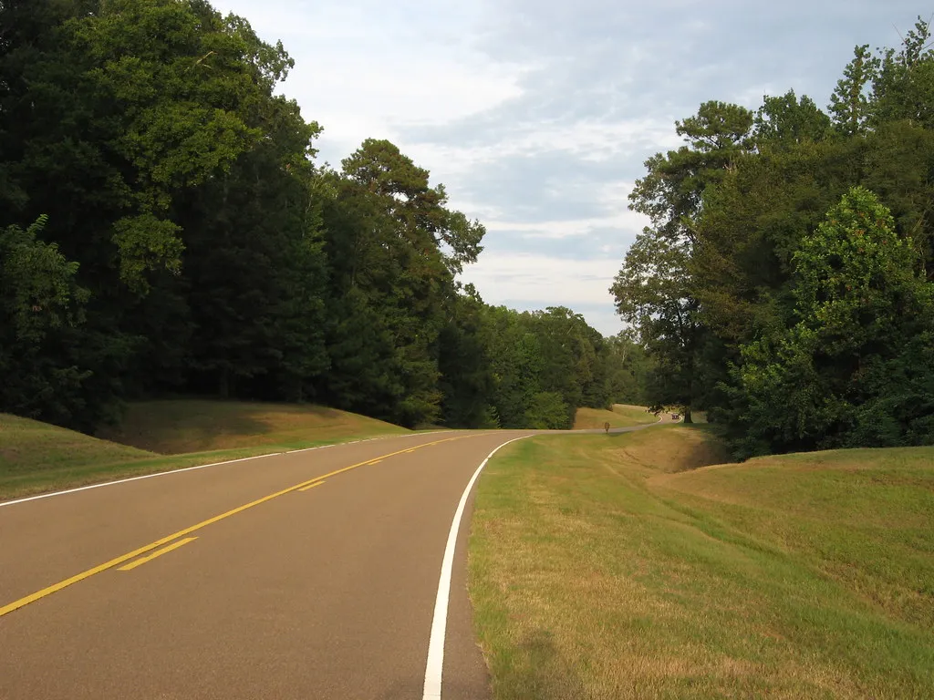
The Natchez Trace Parkway moves through Mississippi without asking you to hurry. A two-lane road bends through forest and fields, with pullouts leading to fragments of older routes, wetlands and places where people lived long before the modern pavement. The parkway eventually continues through Alabama and Tennessee, but a shorter Mississippi trip can be just as rewarding as an end-to-end drive.
Pick a stretch, choose a few stops and allow time to get out of the car. This is also a route where checking the National Park Service's current road and site status is essential: construction, weather and building closures can change an itinerary.
Start with a map and a realistic distance
The parkway runs about 444 miles between Natchez and the Nashville area, crossing three states. Its mileposts help visitors match a stop to the map and understand how far apart places really are. The visitor center near Tupelo is one useful place to obtain information, while the Mount Locust information center serves the southern portion when open. Verify hours before relying on either for restrooms or advice.
You don't have to drive the entire road. A few hours near Natchez, Jackson or Tupelo can provide a satisfying sample, and nearby towns offer places to eat or stay. Fuel and commercial services are not located along the parkway itself; exit to a community and check operating hours rather than waiting until the tank is low.
Walk a piece of the older route
The modern parkway commemorates the historic Natchez Trace but is not simply an intact ancient road. Indigenous peoples traveled and lived throughout this region long before later traders, soldiers, settlers and travelers used routes known collectively as the Trace. Some preserved sections can be explored on foot, offering a contrast with the smooth pavement visible from the car.
The Sunken Trace near Natchez is one place to consider. A worn path between banks can suggest the passage of many travelers and the effect of erosion, but the experience is more meaningful when paired with the park's interpretation of the people whose stories intersect here. Respect the site, remain on designated routes and leave artifacts where they are.
Short does not always mean level or dry. Check the trail surface after rain, wear shoes suited to uneven ground and consider the heat before setting out. Keep an eye on the time: a brief interpretive walk can easily become a longer stop when you pause to read and look around.
See the cypress trees at milepost 122
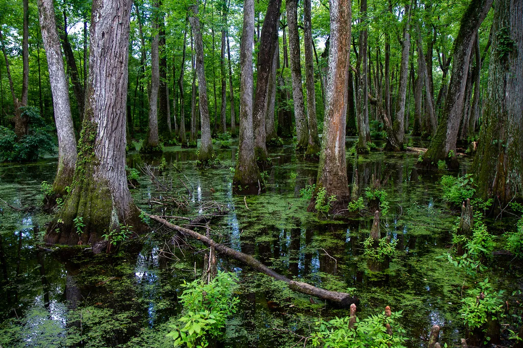
Cypress Swamp near Canton provides a different landscape from the wooded road. The National Park Service explains that the trail passes an abandoned river channel where water-tolerant bald cypress and water tupelo took root. Depending on water levels and season, reflections and the trunks rising from the wet ground can make the stop especially memorable.
Use the designated trail and boardwalk, and watch where you place your feet. Wildlife may be present, including alligators; observe from a distance, never feed animals and supervise children closely. The National Scenic Trail has a trailhead across the parkway, but crossing requires care and any longer hike deserves its own map, supplies and conditions check.
The swamp is not a swimming stop. Bring insect protection in warmer weather and consider binoculars for a quiet look at the habitat. The image in this article shows the actual Cypress Swamp; water and vegetation may look different when you visit.
Make room for the history at Mount Locust
Near milepost 15.5, Mount Locust is associated with a surviving historic inn or stand along the Trace. It is also a plantation site with a history of enslaved labor, and an accurate visit should make room for those lives as well as the travelers who stayed there. Ask staff about interpretation and take time to read the available exhibits.
The National Park Service reports that the historic inn is closed because of structural damage, while the grounds have a limited schedule. Check current hours and access before including it in your plan; do not expect a house tour simply because the grounds are open. The information center can provide maps and context when staffed.
Check detours before leaving
Roadwork affects portions of the parkway. As of November 2026, the National Park Service listed a closure between Mississippi mileposts 159.5 and 165 for reconstruction, with a signed vehicle detour. Its October update warned that the detour was unsuitable for bicycle travel, so cyclists needed to arrange transportation around the closure. Timelines and boundaries can change; check the live road-status page immediately before a trip.
The parkway is shared by drivers and cyclists. Observe posted speed limits, watch carefully around bends and use designated pullouts rather than stopping in a travel lane for a photograph. Cell service may be uneven, so save a map and the detour instructions before setting off. Allow more time than a navigation app's moving estimate suggests.
Give the trip an easy ending
Choose a nearby town for a meal after your selected stretch rather than trying to fit every milepost into one day. A simple plan—one historic stop, one short walk and a relaxed drive—leaves room for weather or a discovery you didn't anticipate. The appeal of the Trace is not a promise that the road will always be empty; it is the invitation to notice the landscape and the many histories carried through it.