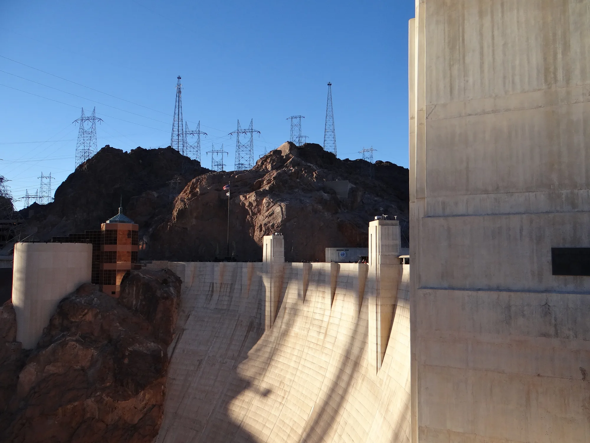
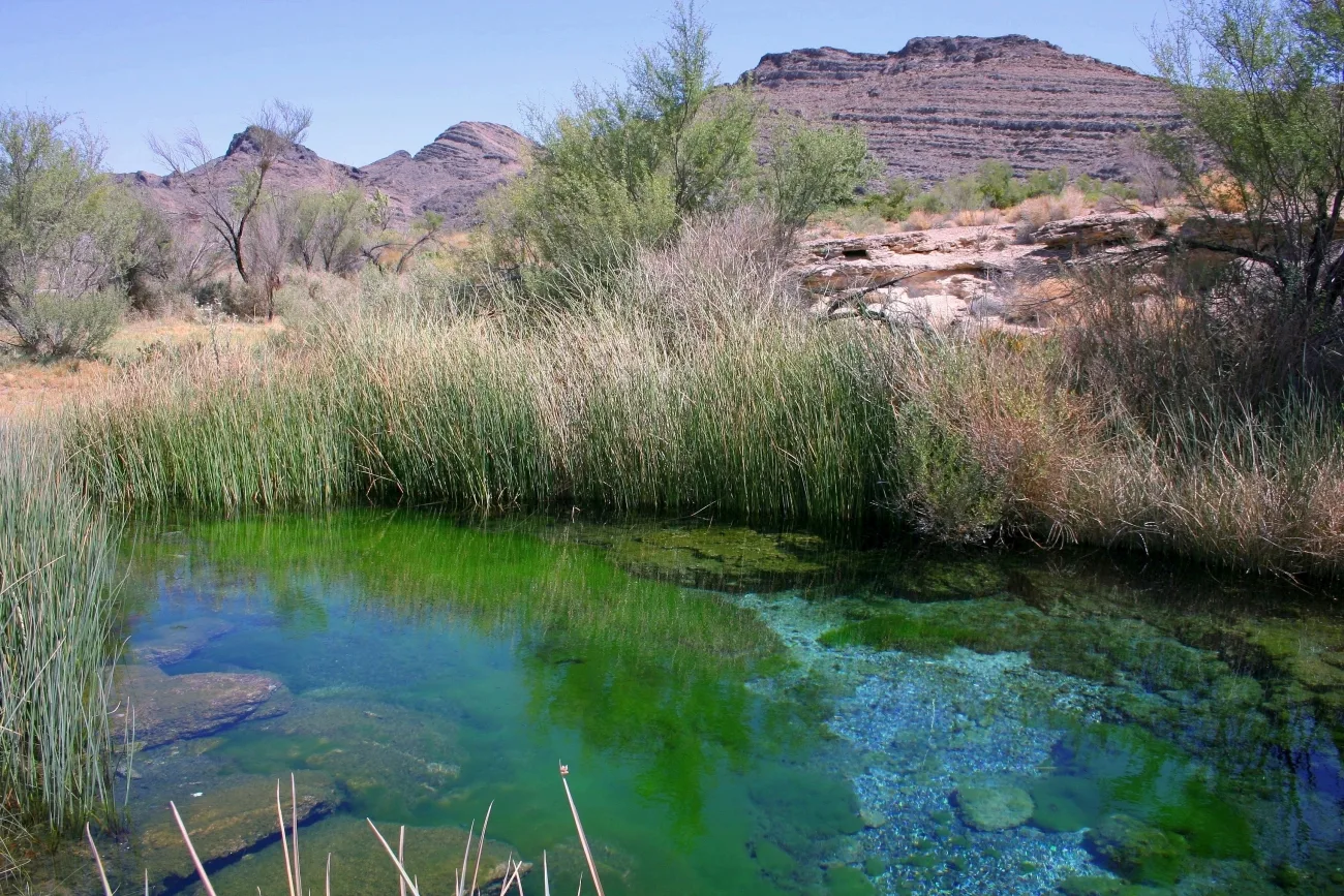
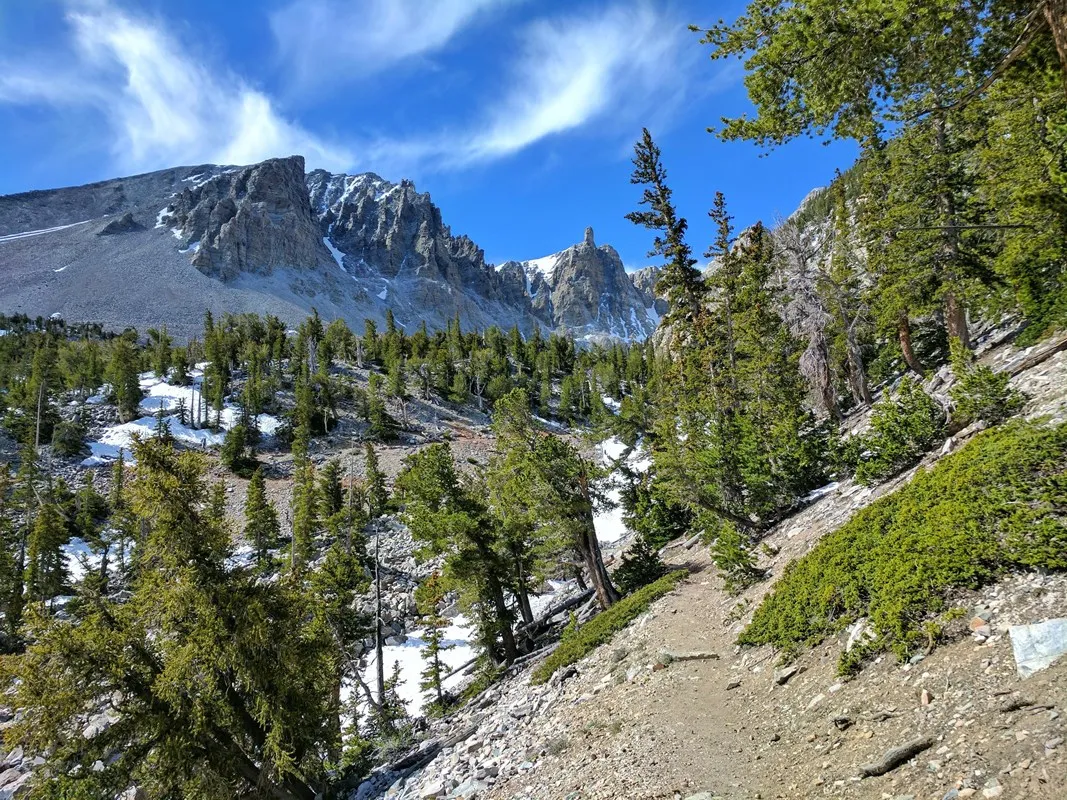
Lake Mead is more than a place to launch a boat. Near Boulder City, a former railroad grade passes through tunnels above the water, while scenic roads lead into a desert of colorful rock and mountain views. A first visit can combine history and scenery, provided the plan respects the heat and changing lake conditions.
1. Start at the Lake Mead Visitor Center
The visitor center near Boulder City is a useful place to orient yourself before heading into the recreation area. Ask about current road closures, weather, trail conditions and the location of services. Lake Mead National Recreation Area spans a large area across Nevada and Arizona, so check the map and driving time for each stop.
There is an entrance fee for the recreation area. Keep proof of admission or your pass available as directed. Download maps ahead of time and carry water and fuel; a destination that looks close on the map may require a longer drive than expected.
2. Walk a former railroad grade
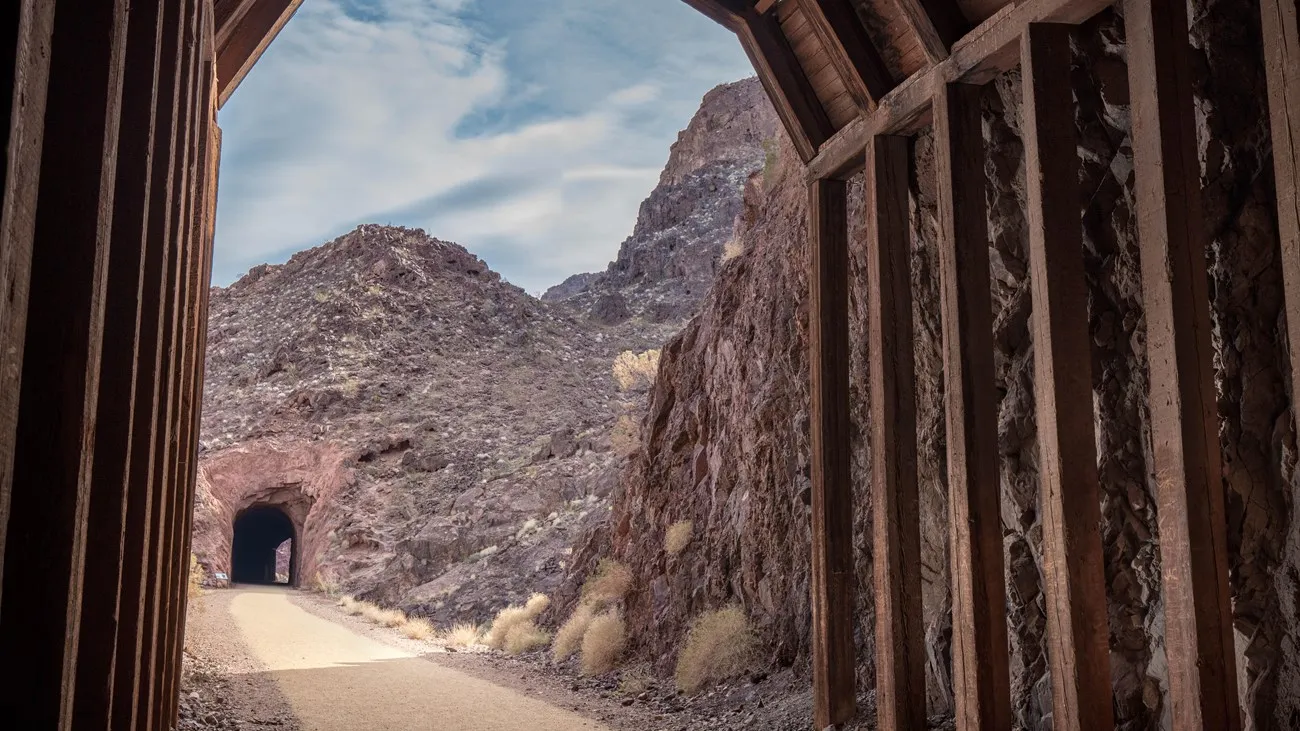
The Historic Railroad Trail follows part of a route built to move materials for Hoover Dam construction. The tracks were removed in 1962, and the grade is now a multi-use trail with views of Lake Mead and Boulder Basin. Five large tunnels make this an unusual walk as well as a lesson in the area's industrial history.
The National Park Service lists the trail at approximately 3.7 miles one way, or 7.5 miles round trip. Its surface is generally level, hard-packed fine gravel, but the full distance still requires planning. You can choose a shorter out-and-back walk and turn around before fatigue or heat becomes a problem. Share the route courteously with cyclists and other visitors.
The park describes the trail as accessible, while noting short ramps through protective containers in two tunnels. Check current conditions and decide whether the surface, distance and features suit your needs. The trailhead parking area has accessible pit toilets, and drinking water is available at the nearby visitor center when open.
3. Treat desert heat as a real limit
The trail has little shade for its first 1.5 miles, and the NPS does not recommend it in summer because of extreme temperatures. Even outside summer, check the forecast, bring more water than you think you'll need and choose a cooler time of day. Turn around early if anyone feels unwell or conditions become uncomfortable.
Pets are permitted on the trail on a leash no longer than six feet, but hot ground can burn paws. Never leave an animal unattended, clean up after it and consider leaving it at home on hot days. A level trail is not necessarily a safe outing in severe heat.
4. Follow the lake's scenic roads
Lakeshore Road and Northshore Road pass through desert basins and mountains, with views across the water. Northshore Road also leads through areas of red rock between Callville Bay and Echo Bay. Use designated pullouts and give yourself time for a few stops instead of concentrating only on the destination.
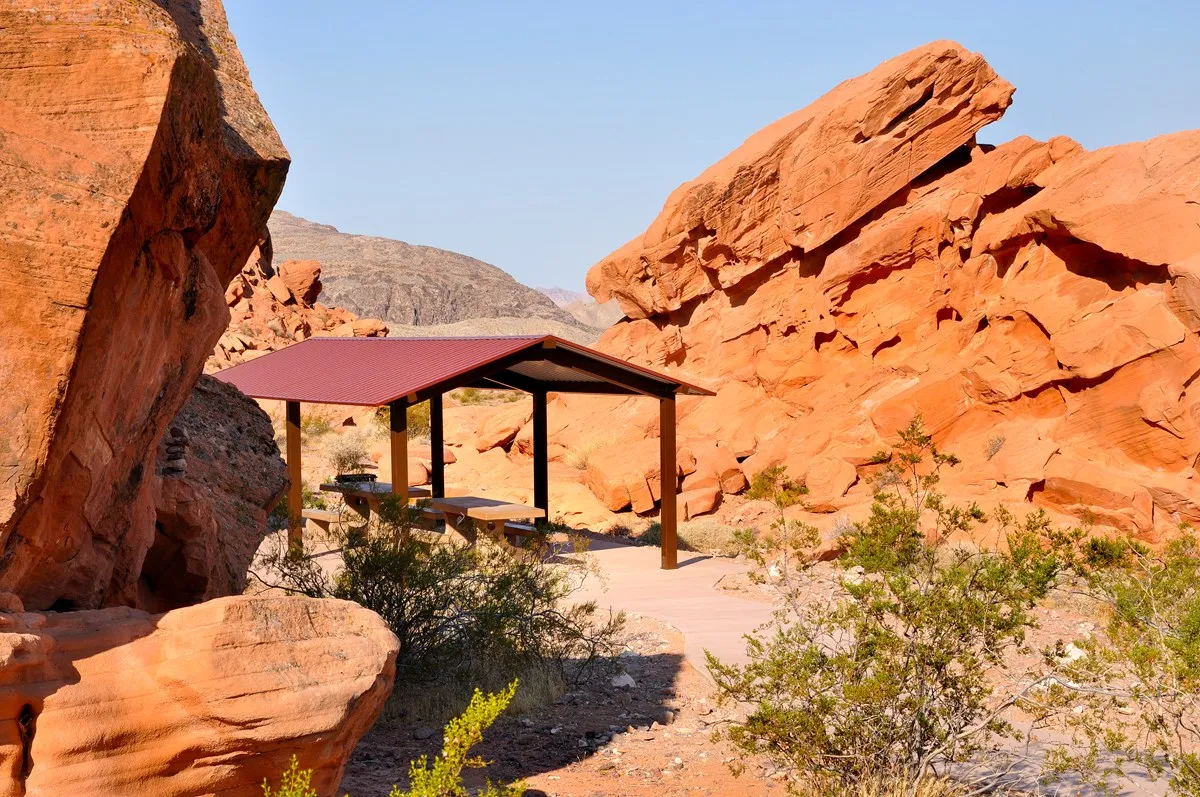
Redstone's picnic area offers a chance to pause amid the desert scenery. Carry out trash, stay on established paths and leave rocks and plants in place. Monsoon storms can leave mud and sharp debris on roads and bring flash flooding; check the forecast and park alerts before driving through washes.
5. Check lake and launch conditions before a water day
Lake levels, wind and access can change. If boating or paddling is part of the trip, check the park's current launch and weather information before setting out and use appropriate personal flotation equipment. The park warns that storms can develop rapidly and advises boaters to seek shelter when conditions deteriorate.
Do not assume every shoreline location has the same facilities or water access. Ask the park about the specific ramp or beach you intend to use, and let someone know your plans. A scenic-drive day is a useful alternative if wind or water conditions make a boating trip unsuitable.
6. Leave time for the history and the view
A balanced first visit might begin with a visitor center stop and a short section of the railroad trail, followed by a picnic and a drive to one or two overlooks. Allow additional time if you intend to walk the entire trail; 7.5 miles in exposed desert is a substantial outing despite the modest grade.
Check alerts shortly before departure, carry water and sun protection, and adjust the day to the season. The reward is a landscape where a historic route, a vast reservoir and the surrounding Mojave Desert come together within an easy trip of Boulder City.