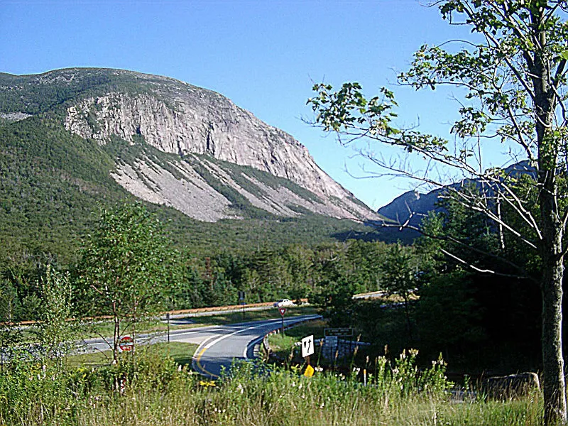
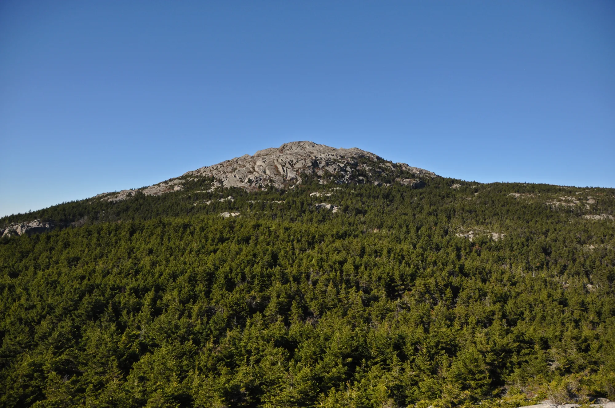
Mount Monadnock rises above the surrounding landscape in southwestern New Hampshire, with a bare, rocky summit and views that can stretch across the region on a clear day. Its popularity can make it look like a casual walk, but the mountain asks for preparation: trails climb over uneven rock, weather changes quickly, and the descent can feel harder than the way up.
A first visit is much more enjoyable when the whole group knows what to expect. These eight planning tips draw on New Hampshire State Parks' guidance and hiking map. Check the latest conditions and reservations before leaving, then choose an outing that matches your experience and the day.
1. Reserve parking before a busy-day visit
Monadnock is a popular destination, and the park strongly recommends day-use reservations because parking can fill. Visitors without a reservation may be turned away when the park reaches capacity. The park also says visitors cannot simply park elsewhere and walk in when the lot is full.
Choose the correct trailhead when reserving: headquarters, Old Toll Road and Gilson Pond offer different routes. Check the park's current system for availability, fees and seasonal changes. A reservation helps with parking; it does not guarantee good weather or make a trail appropriate for every hiker.
2. Pick a trailhead as carefully as a trail
Park headquarters provides access to the most direct summit routes. Old Toll Road offers access to other trails and alternative destinations, while routes from Gilson Pond are longer. These are different starting points, so do not assume a trail begins wherever your navigation app takes you.
Study the official map before booking and carry a copy you can use without a phone signal. Read junction names as well as colors, and make sure everyone knows the intended route. If your group has different experience levels, plan for the least experienced member and stay together.
3. Understand the White Dot route
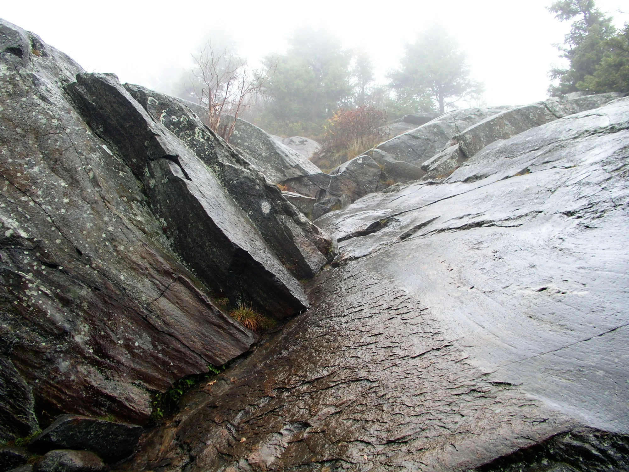
The park's 2026 map lists White Dot at about two miles from headquarters to the summit, with an estimated two hours for the ascent. That is a one-way estimate, not the time for the whole hike. The route is direct but includes steep and rocky sections; the short distance should not be mistaken for an easy walk.
Give yourself additional time for breaks, the summit and a careful descent. Wet stone can be slippery, and crowds at a narrow section can slow progress. Check the forecast and trail conditions first, and turn around when footing, weather or fatigue makes continuing unwise.
4. Compare alternatives before setting out
The park map lists White Cross at approximately 2.2 miles to the summit and White Arrow at about 2.3 miles from Old Toll Road. Gilson Pond's Birchtoft and Red Spot route is longer. These figures are one-way and are planning estimates; actual travel time depends on the route, weather, fitness and conditions underfoot.
Read the full map rather than mixing distances from different trailheads. Not every route offers the same terrain or descent options. Park staff can help with current information, but each group is responsible for choosing a route within its abilities and carrying the equipment it needs.
5. Pack for exposed rock and changing weather
The summit stands at 3,165 feet and is exposed. A comfortable temperature at the parking area does not promise a comfortable summit, and clouds can obscure the view. Bring water, food, a warm layer, rain protection, a light and appropriate footwear. Check the forecast for the mountain, not just for a nearby town.
Snow and ice demand additional skills and equipment. Off-season gates and facilities can be closed or unstaffed; contact the park for current access and conditions. In any season, share your plan and expected return time with someone who is not on the hike.
6. Treat turning back as part of the plan
The summit is a fine goal, but it is not the only reason to visit. If a storm approaches, a member of the group is struggling, or the trail is icier than expected, turn back while everyone has enough energy to descend safely. The park's hiker responsibility code emphasizes knowing your limits and preparing to get yourself there and back.
Keep the group together, take breaks out of the way of other hikers and save energy for the return. A short, well-chosen outing can be more satisfying than a summit attempt that leaves no margin for changing conditions.
7. Know the pet policy
New Hampshire State Parks prohibits pets year-round at Monadnock State Park, including its trails and areas within the park boundary. Service animals are permitted in accordance with the ADA. Review the state's current policy before traveling so that no one arrives expecting a dog-friendly mountain hike.
Carry out everything you bring in, stay on established routes and leave plants, rocks and historic features in place. A busy mountain needs thousands of small acts of care to remain enjoyable for the next visitors.
8. Give the view time—and plan the way home
On a clear day, Monadnock's bare summit provides a broad view over the surrounding highlands. Pause somewhere safe, put on an extra layer if needed and take in the landscape. Weather can limit visibility, so a summit photograph is never guaranteed; the forest, rock and changing light along the way are also part of the trip.
Before descending, check your map, confirm your route back to the correct parking area and make sure the group has enough time and supplies. The park's official map and current visitor alerts are the best starting points for a safe, rewarding first day on Monadnock.