At Colorado National Monument, a drive can become a collection of small discoveries: a distant rock tower, a curve that reveals the Grand Valley, or a short walk through pinyon and juniper. Rim Rock Drive runs for 23 miles through this landscape near Fruita and Grand Junction, with overlooks and trails that make it easy to shape the day around your own pace.
These seven stops offer a framework for exploring the route. They are not a timed itinerary; allow room for weather, photographs and the simple pleasure of looking out over the canyon. Check the park's current road conditions before leaving, particularly in winter when the upper road can close during storms.
1. Start at the Saddlehorn Visitor Center
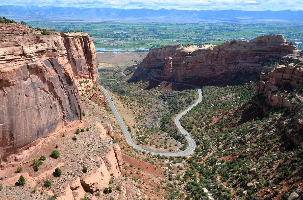
Begin with a map and a conversation. The visitor center near the monument's west side has exhibits, a park film and staff who can help explain current conditions. It is a practical first stop if you are deciding between a short overlook walk and a longer hike, or if a member of your group needs details about accessibility.
The area also provides a first glimpse of the layered canyon country that makes the drive special. Rather than rushing off immediately, orient yourself to the route, make sure everyone has water and decide which stops matter most. Even short excursions can take longer than expected when the landscape keeps inviting another look.
2. Look Across the Valley at Book Cliffs View
Book Cliffs View adds a broad perspective to the drive. The park's motor-coach guide places it along the Saddlehorn Campground road and describes views across the Grand Valley as well as the monument's formations. Consult the current park map for the turn and parking configuration.
This is a good place to notice how the canyon country relates to the communities and agricultural land below. The scale can be difficult to grasp from inside a vehicle: get out where permitted, let your eyes adjust to the distance and compare the far ridges with the nearer rock walls.
3. Stretch Your Legs on Canyon Rim Trail
For a short walk with a big view, look at the Canyon Rim Trail near the visitor center. The National Park Service describes a level trail following the cliff edge above Wedding Canyon, with views of Independence Monument. It starts behind the visitor center and ends at Book Cliffs View, about half a mile one way.
Check the park's current trail description and surfaces to determine whether the walk suits your group. Bring water even for a short desert outing and remain on established paths. A little time on foot lets you notice the trees, textured stone and changing light that can pass quickly through a car window.
4. Find Independence Monument
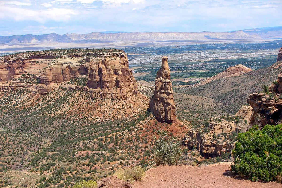
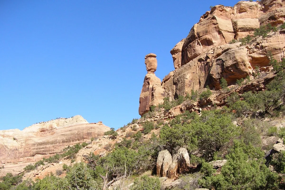
Independence Monument is one of the park's most recognizable rock formations. The named overlook along Rim Rock Drive gives visitors a chance to appreciate the freestanding monolith and the larger canyon around it. An NPS geology guide explains that the formation is a remnant of a ridge that once connected to the surrounding mesa.
Look at the entire scene rather than only the tower. The cliffs, vegetation and shadows make its scale easier to understand. Conditions for photographs change throughout the day; the park notes that this viewpoint attracts visitors at both sunrise and sunset. Use the designated overlook and give other visitors room to enjoy it too.
5. Pause at the Coke Ovens
The Coke Ovens are naturally shaped rock formations, and their rounded forms offer a contrast to the vertical walls and isolated spires elsewhere along the drive. A named overlook and a nearby trail give visitors different ways to experience this part of the monument.
Decide in advance whether you want a brief viewpoint stop or a walk, then confirm the current trail conditions and distance at the visitor center. The park identifies Coke Ovens Overlook among its accessible overlooks, although visitors with specific needs should consult the current accessibility guide for the details that matter to them.
6. Watch the Landscape Change Near Ute Canyon
As Rim Rock Drive continues, the surrounding landscape opens to more canyon views. An NPS geology guide places Ute Canyon View beyond the road's high point, offering another chance to see how uplift and erosion shaped the region. Compare the darker rock lower in the canyons with the younger layers above.
The Ute Canyon Trail is a separate, more demanding outing than a roadside look. Do not assume that a viewpoint stop prepares you for a descent: research the full route, weather, water needs and return climb before considering it. Staying near the rim can be a satisfying choice when time or conditions are limited.
7. Finish With a View at Cold Shivers Point
Cold Shivers Point is another named stop on the eastward drive. The park lists it as an accessible overlook and includes it in its motor-coach guide. Follow signs and use the designated parking area, then take a quiet moment to look down into the landscape before continuing.
By the end of the route, familiar features may look different: a canyon that seemed like one continuous wall resolves into separate layers, ledges and side canyons. If you have more time, return another day at a different hour rather than trying to add every possible trail to the same visit.
Before You Go
Rim Rock Drive has curves, tunnels and shared use by motorists and cyclists. Drive attentively, use pullouts for stops and do not rely on a clear forecast in the valley as proof of conditions on the mesa. The National Park Service says the road is generally open year-round but can close temporarily for rockfall or winter weather. Carry water and sun protection, check alerts and confirm the current visitor-center and trail information before your trip.