Connecticut’s covered bridges invite a slower kind of travel. Some still carry vehicles across a river, while others are places to cross on foot and linger over the view. They also make good anchors for a day that combines small communities, wooded scenery and time outdoors.
These four stops include three historic covered bridges and a newer pedestrian bridge in a state park. They are not all on one short loop: West Cornwall, Bulls Bridge and Kent Falls are in western Connecticut, while Comstock Bridge is farther east. Plan the eastern stop as a separate outing if you prefer a relaxed pace.
Bridge access and park conditions can change. Check posted limits and closures before visiting, and never stop a vehicle on a working bridge to take a photograph.
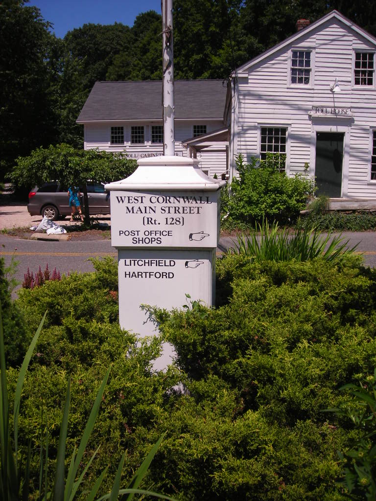
1. West Cornwall Covered Bridge
The red West Cornwall Covered Bridge spans the Housatonic River and remains a recognizable landmark in northwestern Connecticut. State tourism information describes it as a covered timber-truss bridge and includes it on a driving itinerary through the region. A drive through the bridge is brief; the surrounding village and river landscape are reasons to slow down where legal parking is available.
This is an active road crossing. Obey posted signs, respect any vehicle restrictions and watch for oncoming traffic and pedestrians. Find a safe, permitted place to park before getting out. The bridge’s character is best appreciated without blocking the roadway or stepping into traffic for a picture.
Sources differ about the bridge’s precise measured length and dates associated with its construction or later work. Rather than relying on a single number, focus on the visible structure and its continuing role in the community. Look for local interpretation and respect nearby homes and businesses.
2. Bulls Bridge in Kent
Farther south on the Housatonic, Bulls Bridge is another historic covered crossing. Connecticut’s tourism office describes a timber-truss bridge reached from Route 7 by Bulls Bridge Road. The location connects an everyday road journey with a river landscape that has long shaped travel and settlement in the area.
As with West Cornwall, follow current signs and restrictions, and do not stop on the bridge. If you explore nearby, use established public access points and keep a safe distance from moving water, steep banks and roadside traffic. River levels and conditions can change, especially after rain.
The Housatonic corridor has trails and fishing access, but those activities have their own rules and conditions. Check the relevant state information before adding a hike or fishing stop, and do not assume that a path visible from the road is open to the public.
3. The Covered Footbridge at Kent Falls
Kent Falls State Park offers a different kind of covered crossing: a pedestrian bridge over Kent Falls Brook. State tourism information dates this smaller bridge to the 1970s, so it should be understood as a newer park feature rather than one of the state’s surviving nineteenth-century road bridges.
The bridge makes a pleasant introduction to the park’s waterfall landscape. Connecticut’s park guidance identifies routes that climb beside the falls and cautions that the terrain can be steep. Use the stairs and marked trails, wear footwear appropriate for wet surfaces and choose a route that suits your group.
Do not climb on or near the falls outside designated routes. Check the park’s current conditions, fees, seasonal facilities and rules before going. A picnic and a short walk may be a better fit than a steep climb for visitors who prefer an easier day.
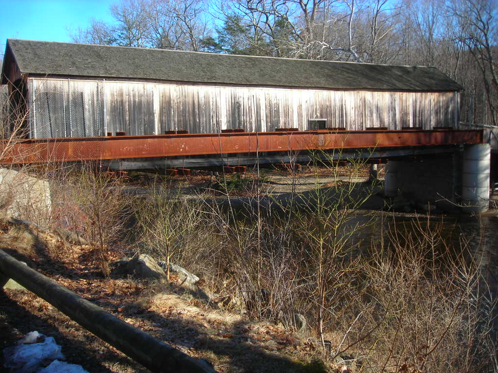
4. Comstock Bridge at Salmon River State Forest
Comstock Bridge crosses the Salmon River in East Hampton, well east of the Housatonic Valley stops. Connecticut’s forestry management plan identifies it as one of the state’s three historic covered bridges and explains that it has been repaired and reinforced over time. That history of maintenance is part of why a wooden structure can remain meaningful across generations.
The bridge is a useful starting point for exploring the surrounding state forest, but plan a separate visit if you do not want a long cross-state drive. Check the latest forest map and posted signs for parking, trail access and permitted activities. State forests can host multiple uses, including seasonal hunting, so review current rules and wear appropriate visibility when needed.
Take time to look at the relationship between the bridge and river from designated public areas. Keep clear of slippery banks and respect the structure: it is a historic resource, not a place to carve initials or remove pieces as souvenirs.
Planning a Bridge Day
The three western stops can be combined with a leisurely drive along the Housatonic corridor, while Comstock is better treated as a separate eastern Connecticut outing. Check road and park conditions before leaving, especially after storms or in winter. Bring comfortable shoes for the park stops, follow vehicle restrictions on working bridges and use only legal parking areas.
Connecticut tourism and state forestry sources provide helpful background, but details such as access, fees and road conditions can change. Posted instructions and current local information should guide the day.