In the Brandywine Valley north of Wilmington, trails wind between wooded slopes, open fields and the creek that helped shape the region. First State National Historical Park protects land here on both sides of the Delaware–Pennsylvania border, making it an appealing outdoor stop for travelers who want a change of pace from city streets and beach traffic.
This is a living landscape with a long human history. The National Park Service connects the valley with the Lenape and later Quaker settlers, as well as the preservation work of industrialist William Poole Bancroft. Look closely as you walk, but leave historic structures, stones and plants where you find them.
These four starting points and overlooks are connected by a network of trails rather than four entirely separate parks. Consult a current park map before choosing a route, and remember that a trail can cross into Pennsylvania. Distances and difficulty depend on the combination you choose.
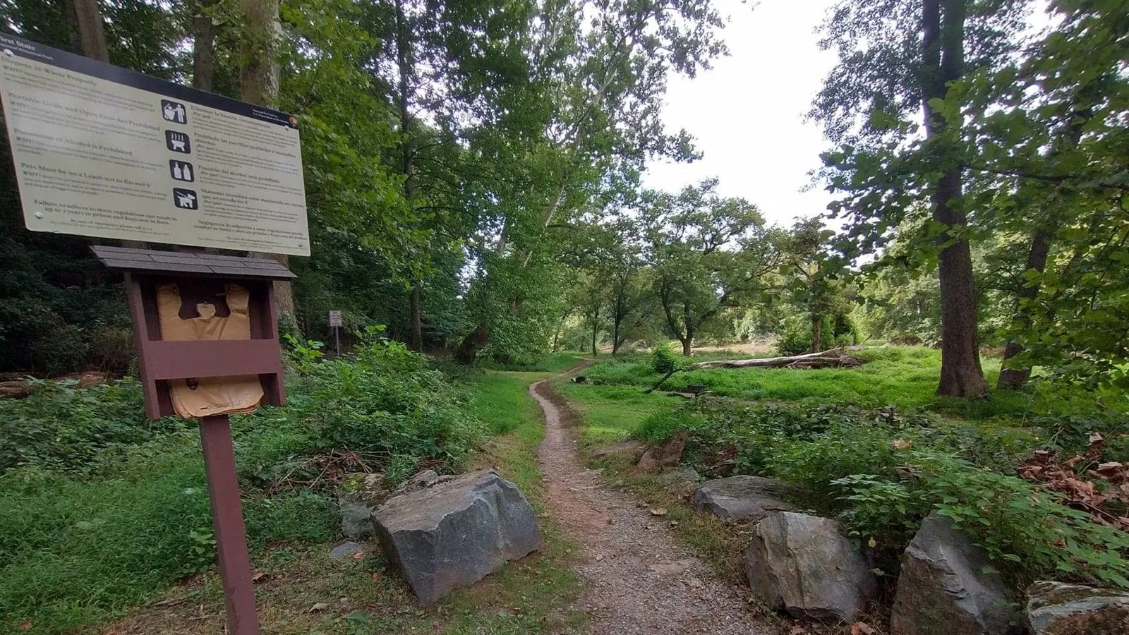
1. Walk Beside the Creek from Smith Bridge
The Smith Bridge parking area provides access to a trail along Brandywine Creek. According to the National Park Service, this creekside route connects toward Brandywine Creek State Park. It is a pleasant place to begin if moving water is the setting you want most, with trees and the creek changing character as you go.
The park warns that the creek trail can flood in rainy seasons. Check conditions before setting out, avoid flooded sections and turn around if footing or water makes the route unsafe. The Park Service also notes that parking fills quickly in warmer months, so an early visit can help. Do not block gates or park outside designated spaces if the lot is full.
This trailhead is a useful reminder that connected public lands may have different managing agencies. Check each park’s rules and parking requirements if your walk carries you beyond the national park unit.
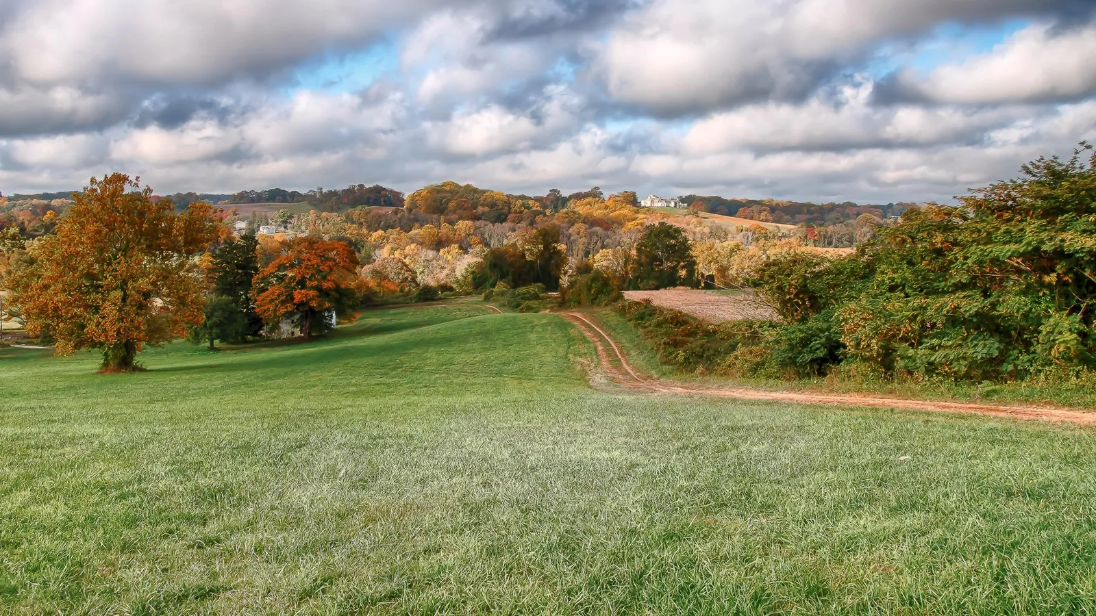
2. Pause at Ramsey Overlook
Ramsey Overlook offers a different kind of reward: a place to stop and look over the valley’s rolling terrain. Park staff placed boulders here as natural seating, according to the National Park Service. It is a good destination for a quiet break, particularly when seasonal color makes the contours of the surrounding fields and hills stand out.
The view has a human story as well as a natural one. NPS identifies the area with the former Lenape village of Queonemysing and explains that later Quaker settlers established farms and mills around the valley’s waterways. Give yourself time to read any available interpretation and consider how many generations have known this landscape in different ways.
Reach the overlook using designated paths shown on a current map. Conditions can change with rain and weather, and an attractive view does not guarantee an accessible route. Confirm trail details with the park if someone in your group needs a step-free surface.
3. Start from Ramsey Road Parking Lot 4
For a walk that connects to the central trail network, the Park Service identifies a trailhead near Parking Lot 4 on Ramsey Road. It describes an uphill dirt route toward an area known locally to staff as “The Rocks,” with views over the valley’s fields. From there, visitors can connect with other trails in the center of the park.
Treat this as a starting point, not a promise of a particular loop length. Study the map before leaving the lot, note junctions and choose a route that matches your group’s experience. Dirt paths can be muddy or uneven after rain. Bring water, wear appropriate footwear and allow time to return before sunset.
The Ramsey lot is small and narrow, and NPS notes that larger vehicles may have difficulty maneuvering. Have a backup plan if spaces are full. On applicable summer weekends and holidays, the park identifies an additional field lot; check its current schedule before depending on it.
4. Explore from the Beaver Dam Road Trailhead
Another option begins near Parking Lot 2 on Beaver Dam Road. The Park Service describes a dirt trail passing behind a residential house, through woods and toward a scenic view of agricultural fields. This route shows how close the area’s preserved open space remains to working and residential landscapes.
Respect private residents and stay on marked public trails. NPS cautions that the path can be slippery in rain and that reaching the trailhead involves walking along a road shoulder. Pay attention to traffic and visibility, and consider another starting point if the conditions do not suit your group.
The nearby trails form a network, so keep a map handy and know where you parked. The aim need not be a long hike: a shorter out-and-back gives you flexibility if the weather changes or a member of your party wants to turn around.
Before You Go
The Brandywine Valley unit is generally open from sunrise to sunset, with free access. Conditions and rules can change, so check the official park page before departure. Dogs must be leashed or otherwise physically restrained as specified by the park. Carry out trash, leave rocks and archaeological materials undisturbed, and do not pick protected plants such as wild ramps. Cell service may be unreliable; save a map before setting out.