Lēʻahi, widely known as Diamond Head, rises above Oʻahu’s southern coast and has become one of Hawaiʻi’s most recognizable volcanic landmarks. Its summit trail offers views over Honolulu and the ocean, but the short mileage can conceal a hot, steep climb with stairs and a tunnel.
Good planning helps make the hike safer and more rewarding. These eight details cover reservations, the route and the landscape’s history so you can decide whether the trail fits your group.
1. Check the reservation rules

Hawaiʻi’s Division of State Parks requires entry and parking reservations for nonresidents. If you plan to drive, make sure your booking covers both the people entering and the vehicle as required by the current system. The park lists different arrangements for Hawaiʻi residents with valid identification, and commercial transportation has its own requirements.
Use the official state park reservation links and check the current fees, arrival window and cancellation terms before paying. Do not assume a tour operator’s transportation includes entry unless the operator confirms it. Reservation and operating rules can change, especially after severe weather.
2. Know the distance and elevation
The state describes the summit trail as 1.6 miles round trip, with approximately 560 feet of elevation gain. It suggests allowing around two hours. The climb begins on the crater floor and follows switchbacks up the inner slope to the rim.
The distance is manageable for many walkers, but it is not a level stroll. Consider the climb, heat and descent together when deciding whether young children or anyone with mobility concerns will enjoy the outing. Start with enough time to turn around comfortably if needed.
3. Expect uneven ground, stairs and a tunnel
The first section is paved, but the route becomes uneven and steep. State Parks notes that the trail includes steep stairways and a lighted tunnel about 225 feet long. Wear closed shoes with good grip and use handrails where provided. Move deliberately, particularly on the way down when tired legs can make footing less secure.
The terrain and stairs make this a challenging route for visitors who cannot comfortably handle steps or rough ground. Contact the park for current accessibility information and possible alternatives. Do not leave the marked trail to bypass another visitor or take a shortcut.
4. Prepare for heat and exposed slopes
Much of the hike is hot and dry. Bring drinking water, sun protection and a hat, and take breaks before anyone in the group becomes overheated. Even on an overcast morning, humidity and climbing can make the route feel strenuous.
Check the weather and official park notices on the day. Rain may make steps or the natural trail surface slippery, while storms can cause closures. Choose a pace that allows the slowest member to walk comfortably and return within park hours.
5. Notice the volcanic landscape
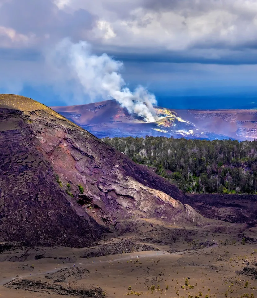
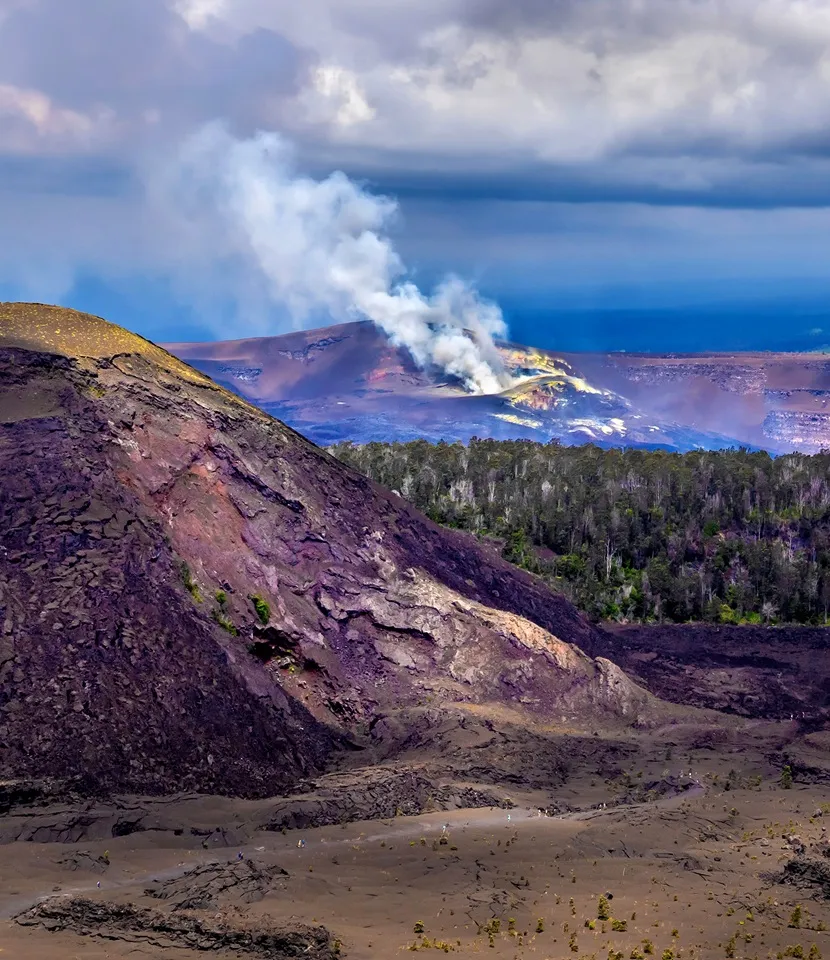
The U.S. Geological Survey identifies Diamond Head as a tuff cone formed by explosive volcanic activity. As the trail traverses the inside of the crater, the contrast between the crater floor, steep walls and surrounding coast helps make its shape easier to understand.
The Hawaiian name Lēʻahi and the site’s cultural significance deserve attention alongside the geology. Read the state park’s interpretive material, stay on established paths and leave rocks and plants undisturbed. The landscape is not just a backdrop for the skyline.
6. Look for traces of coastal defense history
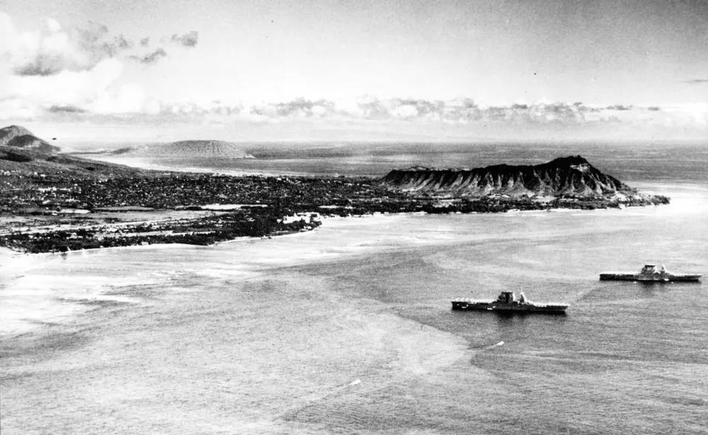
The trail was built in 1908 as part of Oʻahu’s coastal defense system. According to State Parks, a fire-control station completed in 1911 helped direct artillery from batteries outside the crater. The tunnel, stairs and bunkers connect the hike to this military history.
View historic structures from the permitted route and obey any barriers. A structure that looks accessible may be closed or unsafe. The state’s trail information offers context that makes the summit more than a quick photograph.
7. Give the summit space and patience
On a clear day, the rim looks across southeastern Oʻahu and the coastline toward Honolulu. Clouds, haze and crowds can change the view, so leave room in the plan for conditions that differ from a postcard. Passing humpback whales may sometimes be visible in winter, but sightings are never guaranteed.
Share narrow spaces, keep the route moving and avoid blocking stairs or viewpoints for photos. Stay behind railings and take care with children near exposed edges. A few unhurried minutes looking at the coast can be more satisfying than trying to record every angle.
8. Plan your return before you begin
The state lists normal park hours and a last-entry time on its monument page, but holiday schedules and storm recovery notices may change. Check both the park page and the latest notices before traveling. Plan to be back at your vehicle or exit before closing, with a margin for a slower descent.
Pack out your litter, remain on the trail and observe the park’s rules, including its prohibition on dogs. After the hike, consider supporting nearby local businesses while respecting parking and neighborhood access. The most successful visit is one that leaves the trail and community in good shape for everyone who follows.