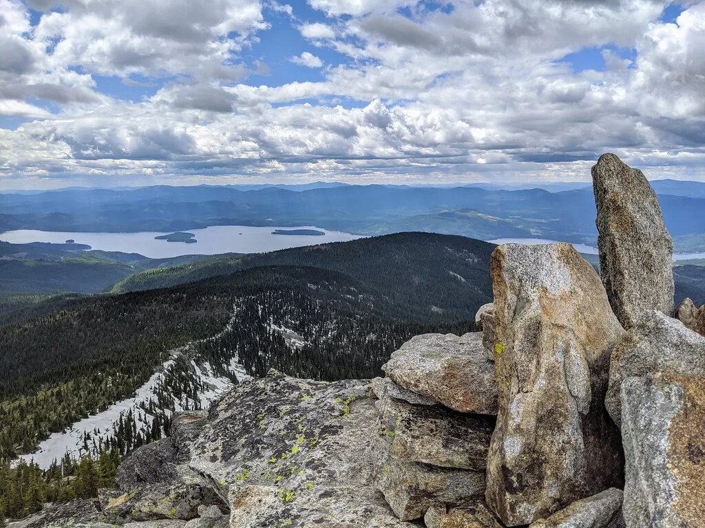
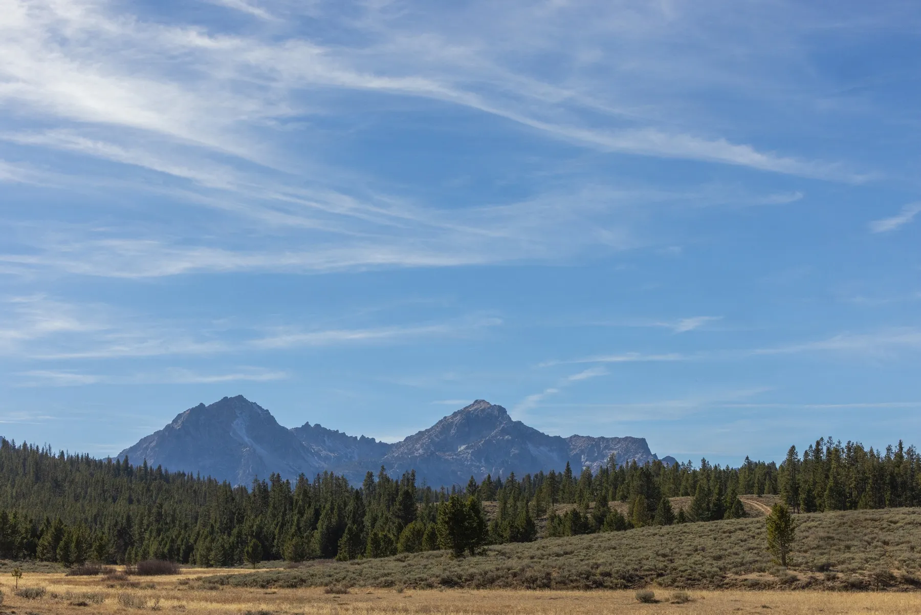
Hells Canyon is a vast landscape of steep slopes, deep river corridors, and mountain viewpoints along the Idaho–Oregon border. The Snake River runs through it, but there is no single road that casually follows the entire canyon. A trip here begins with a choice: view the canyon from high on the Idaho side, descend toward a river landing, or approach a reservoir and dam by road.
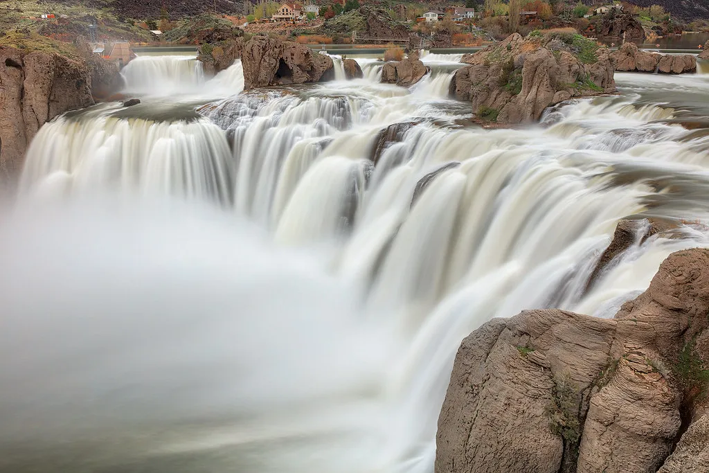
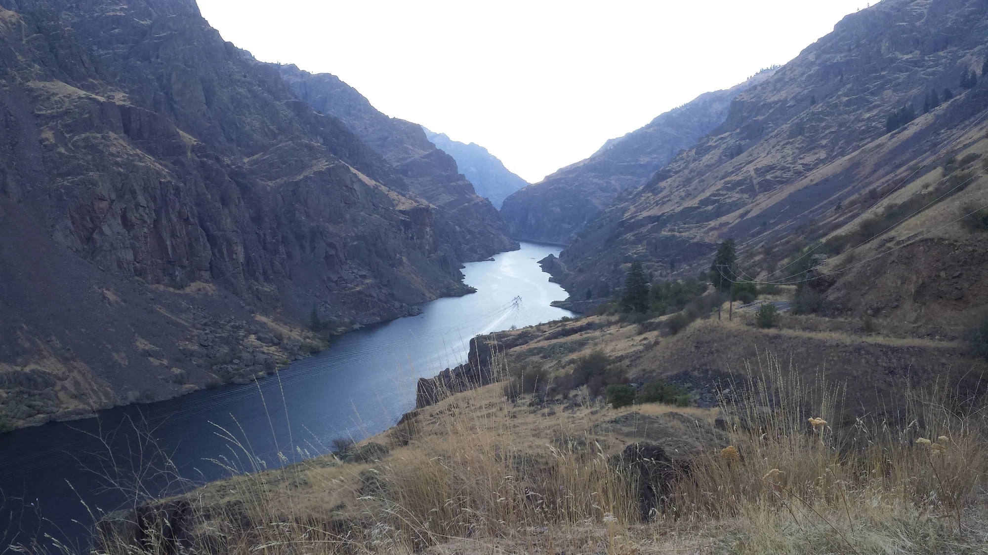
These four ideas are separate excursions. Roads can be steep, remote, and seasonal, so ask the managing Forest Service district about current conditions before you leave. The photographs show Hells Canyon Reservoir; they do not promise the exact view from any one stop.
1. Drive Toward Heaven’s Gate From Riggins
Heaven’s Gate Overlook offers an Idaho-side perspective on Hells Canyon and the Seven Devils country. The Forest Service describes the approach from the south end of Riggins via Forest Road 517 as a very steep, winding gravel road and recommends allowing a half day for the excursion.
This is a mountain road, not a quick paved detour. Snow can limit access, and rough surfaces, narrow sections, and changing weather demand attention. Contact the nearest Forest Service office for the latest road status and ask whether your vehicle is suitable. If you drive a rental, check the agreement for restrictions on unpaved roads.
Carry water, food, layers, a reliable map, and a usable spare tire. Fuel before leaving a service town and do not rely on a phone signal. If the road or weather is beyond your comfort level, turn back; an overlook is never worth forcing a dangerous drive.
2. Descend to Pittsburg Landing
Pittsburg Landing provides access to the Snake River corridor from the Idaho side. The Forest Service describes Forest Road 493 from the White Bird area as a narrow, steep gravel road and suggests allowing a half day for the visit. At the landing, visitors may find camping and access to a trail along the river.
Verify road and campground conditions with the Forest Service before starting. A wilderness handout notes that winter travel can require four-wheel drive and chains; seasonal conditions may change what is safe for any vehicle. Potable water at the lower campground may not be available, so carry what you need instead of counting on a tap.
The river corridor is rugged and often hot. If you walk from the landing, choose a distance suited to your group, carry more water than you think you need, and remember that a level-looking path may be exposed to sun. The Snake River National Recreation Trail is a long route; you do not need to attempt its full length to appreciate the setting.
3. Explore the Reservoir Road Toward Hells Canyon Dam
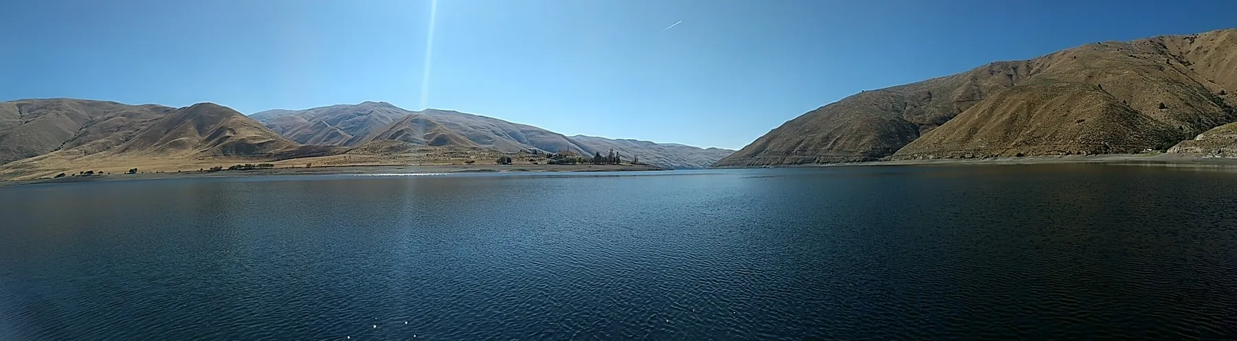
Another approach follows the Snake River Road between Oxbow Crossing and Hells Canyon Dam. The Forest Service describes this as a paved road beside Hells Canyon Reservoir, with steep canyon walls on either side. Visitors can experience the reservoir landscape and check seasonal information services near the dam.
This approach crosses a landscape managed by more than one agency and includes the Idaho–Oregon border area. Before traveling, confirm current public access, road conditions, and any restrictions around dam facilities with the relevant managers. Allow substantially more time than a straight-line map suggests.
Boating below or above a dam is a specialized activity, not an extension of a roadside stop. Water levels, current, weather, and access rules matter. Use a permitted professional operator if a river trip is beyond your experience, wear an appropriate life jacket, and check current regulations before launching.
4. Consider the Seasonal Road to Sheep Rock
For another Idaho-side viewpoint, the Forest Service describes a route from the Cuprum area toward Sheep Rock. Its visitor brochure says the road is typically open from around July into mid-October, depending on snow, and advises checking with the Weiser or Council Ranger District before beginning. Treat those dates as a general pattern rather than a promise of access.
The same brochure recommends a full tank of fuel, food and water, suitable clothing and footwear, and a detailed map. Portions of the route require a suitable high-clearance vehicle. A full day provides a more realistic margin for slow roads, stops, and the return drive.
Whichever excursion you choose, stay on open roads and trails, respect private property and closures, and leave cultural and natural objects where you find them. Hells Canyon’s distances and steep terrain make careful preparation part of the experience.
Start with the Forest Service’s Hells Canyon visitor overview, Idaho wilderness access guide, and Sheep Rock route information. Contact the relevant ranger district for current road and fire conditions immediately before travel.