Illinois can surprise you when you let the interstate go by. A road might follow limestone bluffs above the Mississippi, pass an old filling station on Route 66 or lead across farmland toward a working Dutch windmill. In another part of the state, the Ohio River runs beside forested hills that look a world away from the Chicago skyline.
The Illinois Department of Transportation identifies seven nationally designated scenic byways in the state. Each offers a different kind of outing, from an afternoon's riverfront ramble to a multiday trip. Here is what makes each one worth considering and where to begin exploring. These are separate routes, not seven consecutive legs of a single short drive; use the official maps and check current conditions before setting out.
1. Great River Road: Follow the Mississippi Through Illinois

The Illinois stretch of the Great River Road follows the state's western edge, connecting river communities and landscapes that change considerably between the northwest and southern Illinois. This is a route for travelers who enjoy stopping often: a historic downtown, a river overlook and a museum can each become the reason to stay another hour.
Near Savanna, Mississippi Palisades State Park offers wooded trails and overlooks above the water. Farther south, the Quad Cities have riverfront attractions on both sides of the Mississippi, while Quincy rewards a walk among its historic buildings. Still farther along, the Meeting of the Great Rivers byway overlaps the broader river-road experience near Alton and Grafton.

Choose one region for a day trip rather than trying to cover the entire Illinois route at once. In winter, look for bald eagles along the river, but treat sightings as a possibility rather than a promise. Park at established overlooks and check park alerts before walking near bluffs.
2. Historic Route 66: Find Roadside America Between Chicago and the Mississippi

Route 66 is as much about the stops as the pavement. Illinois' section begins in Chicago and heads southwest through communities that still celebrate the road with murals, museums, vintage signs and places to eat. The National Park Service documents surviving road segments that reveal how the highway changed over time; different historic alignments mean a modern map and a little planning help.
Wilmington's Gemini Giant now stands in South Island Park, and Pontiac has a Route 66 museum and a large shield mural. Springfield adds Lincoln history to the road-trip mix, while the Old Chain of Rocks Bridge offers a chance to walk or bike over the Mississippi near the route's western end. Those stops are spread out: pick a few, leave room for detours and confirm opening hours for indoor attractions.
Some historic road sections run alongside newer highways, so follow posted directions instead of assuming every old alignment is open to cars. The appeal is not a perfectly preserved road from beginning to end. It is the accumulation of places and memories gathered along the way.
3. Illinois River Road: Mix Water Views With Small Cities

The Illinois River Road links communities and natural areas along the Illinois River valley between Ottawa and Havana. The byway offers a particularly good excuse to pair a town visit with a walk near the water. In the north, Ottawa makes a useful starting point for exploring the river region. Around Peoria, Grandview Drive provides a different perspective from high above the valley.
You might plan a morning around a riverfront walk, stop for lunch downtown and spend the afternoon at a preserve or museum. The byway connects attractions on and near the river, so distances and river crossings matter more than they might appear to on a simple list of stops. Check the route map before deciding how many places fit comfortably into your day.

Water levels, trail conditions and access to low-lying areas change. If a riverside path is closed after high water, let the drive lead you to another open stop instead of treating the closure as a minor inconvenience.
4. Illinois Lincoln Highway: Cross the North From Town to Town

The Lincoln Highway was conceived as an early transcontinental road, and its Illinois byway crosses northern Illinois toward the Mississippi. Rather than promising one uninterrupted view, the route offers a sequence of communities, old commercial districts and roadside history.
DeKalb brings together downtown shops and the historic Egyptian Theatre. Dixon sits on the Rock River and has attractions connected to local and presidential history. Near the western end, Fulton adds a surprising landmark: the Dutch-built De Immigrant windmill near the river. Check tour availability if seeing the mill's interior matters to your visit; even from outside, it makes an unusual companion to a levee walk.
Historic alignments and the modern signed byway do not always follow the same road. Use the current byway map, allow for traffic through towns and leave time to explore on foot. This is a trip best measured by the places you discover, not just miles driven.
5. Meeting of the Great Rivers: Spend a Day Between Bluffs and Water
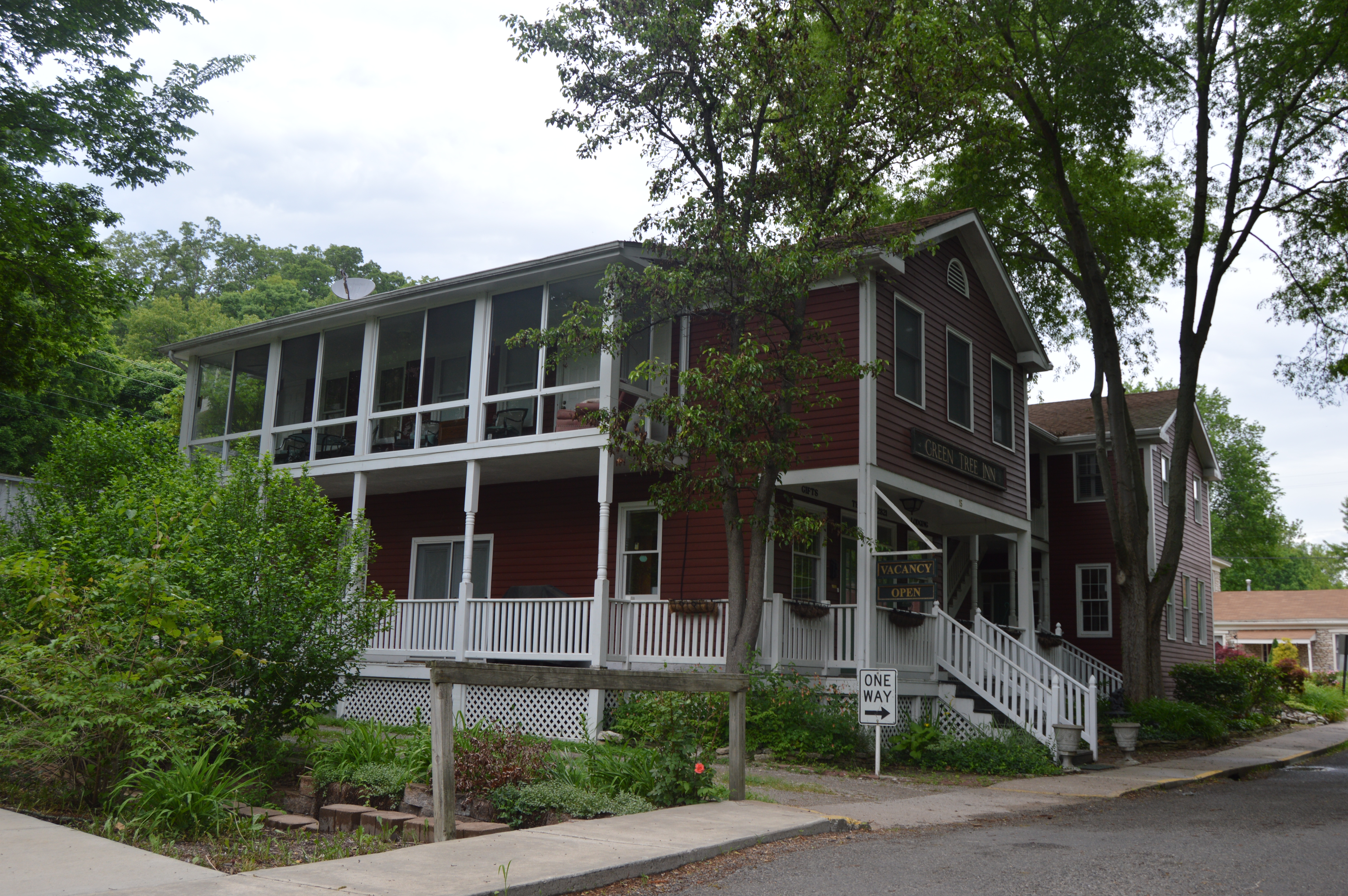
If you want a river drive that can fit into a shorter outing, consider the Meeting of the Great Rivers National Scenic Byway. The route runs between the Hartford area and Pere Marquette State Park near Grafton, through a region where the Mississippi, Missouri and Illinois rivers meet. On the stretch between Alton and Grafton, limestone bluffs rise beside the road while the river opens out on the other side.
Alton has a walkable downtown and river history. Elsah, tucked into a valley between the bluffs, is known for its historic stone buildings. Grafton is a natural pause for a meal or a walk near the water, and Pere Marquette offers overlooks and trails for those who want to continue into the hills.

Use designated pull-offs rather than stopping on the roadway to look at the scenery. The rivers can flood, and closures or ferry operations can change with conditions. A quick check before leaving gives you a better chance of enjoying the route without an unexpected turnaround.
6. Historic National Road: Trace an Earlier Cross-State Journey

The Historic National Road crosses southern Illinois from the Indiana border toward the St. Louis area. It follows the story of an early federally funded road that carried travelers west, although today's route and its historic predecessors have changed over time. Instead of treating it as a race across the state, choose a few communities and look for the layers of transportation history along the way.
In Marshall, a historic stone arch bridge is a reminder that even a small crossing can tell part of a much larger road story. Greenup's railroad history adds another form of travel to the itinerary. Farther west, the Collinsville area offers the memorable sight of the giant catsup bottle water tower; nearby Cahokia Mounds tells a far older and much more significant story of Indigenous life in the region.
Leave adequate time at Cahokia rather than treating it as a roadside photo stop. The site preserves the remains of a major pre-Columbian Indigenous city. The site says its grounds are open daily from dawn to dusk, while its cultural gallery is closed; lobby access is limited. Consult the official site before planning your visit, since facilities and access can change.
7. Ohio River Scenic Byway: Discover Southern Illinois at a Slower Pace
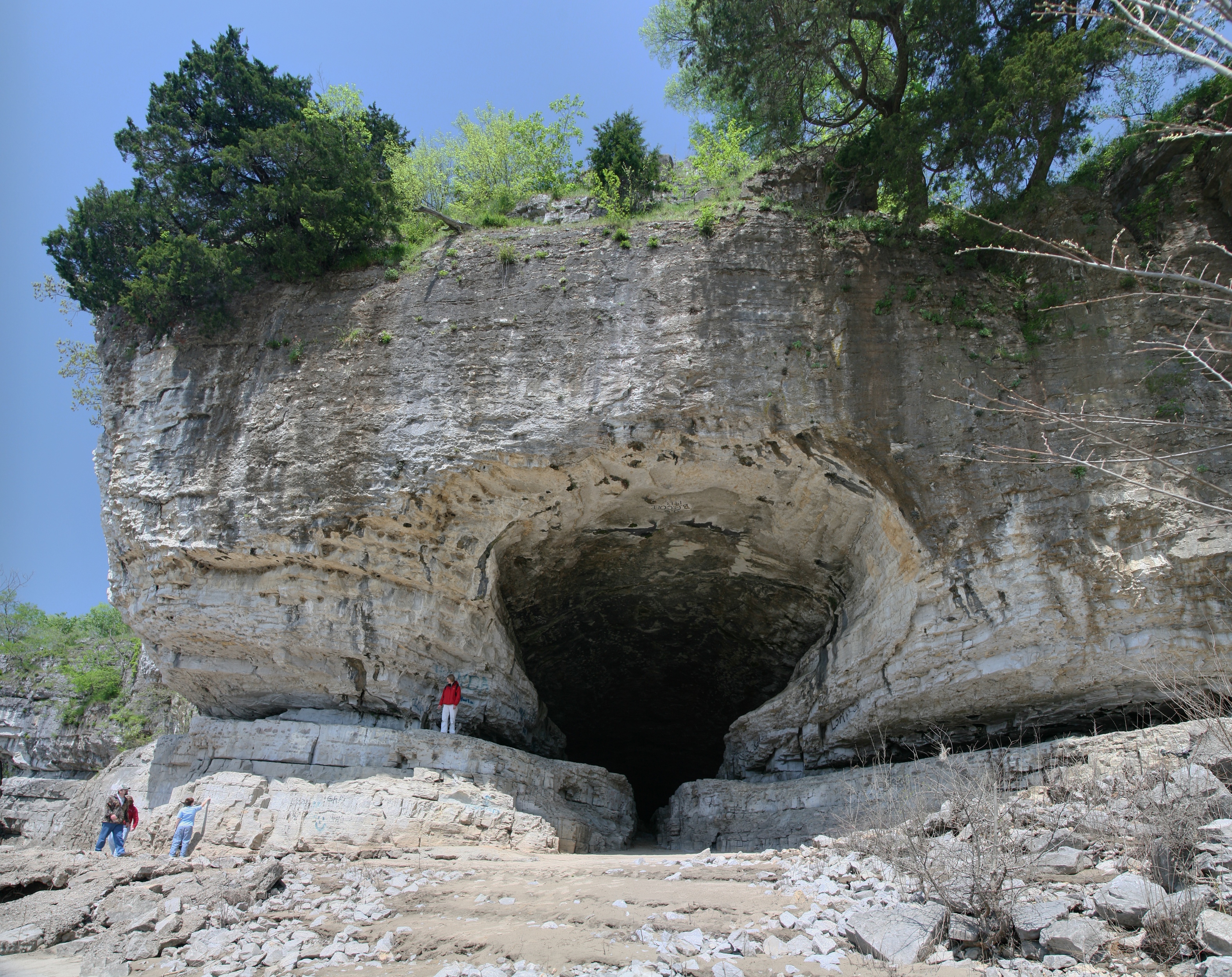
Across the southern edge of Illinois, the Ohio River Scenic Byway offers a mix of river towns, wooded hills and glimpses of the Ohio River. It is an appealing choice if you want to get beyond the familiar image of Illinois as flat farmland. The landscape is more varied here, but the route still asks for patience: towns and attractions are separated by rural roads, and not every stretch hugs the water.
At Cave-in-Rock State Park, a large opening in the limestone bluff faces the river. The Illinois Department of Natural Resources cautions that many colorful stories about the cave's supposed outlaw past are not well documented, so enjoy the setting without assuming every legend is established fact. Farther west, Metropolis has its Superman statue and Fort Massac State Park. Toward Cairo, the Ohio and Mississippi rivers meet near Fort Defiance.

Before setting out, check park conditions, local services and weather. The cave, river overlooks and historic sites deserve time on foot, so build breaks into the day rather than attempting to see the whole route between breakfast and dinner.
Before You Go
Scenic byway mileage varies among descriptions depending on the alignment and any side trips, so consult current official route maps. Confirm hours, seasonal access, trail conditions and road or flood closures before travel. Carry water, leave no trace, and park only where it is safe and permitted. If you visit a historic or cultural site, allow time to learn from its own interpretation and respect any protected areas.