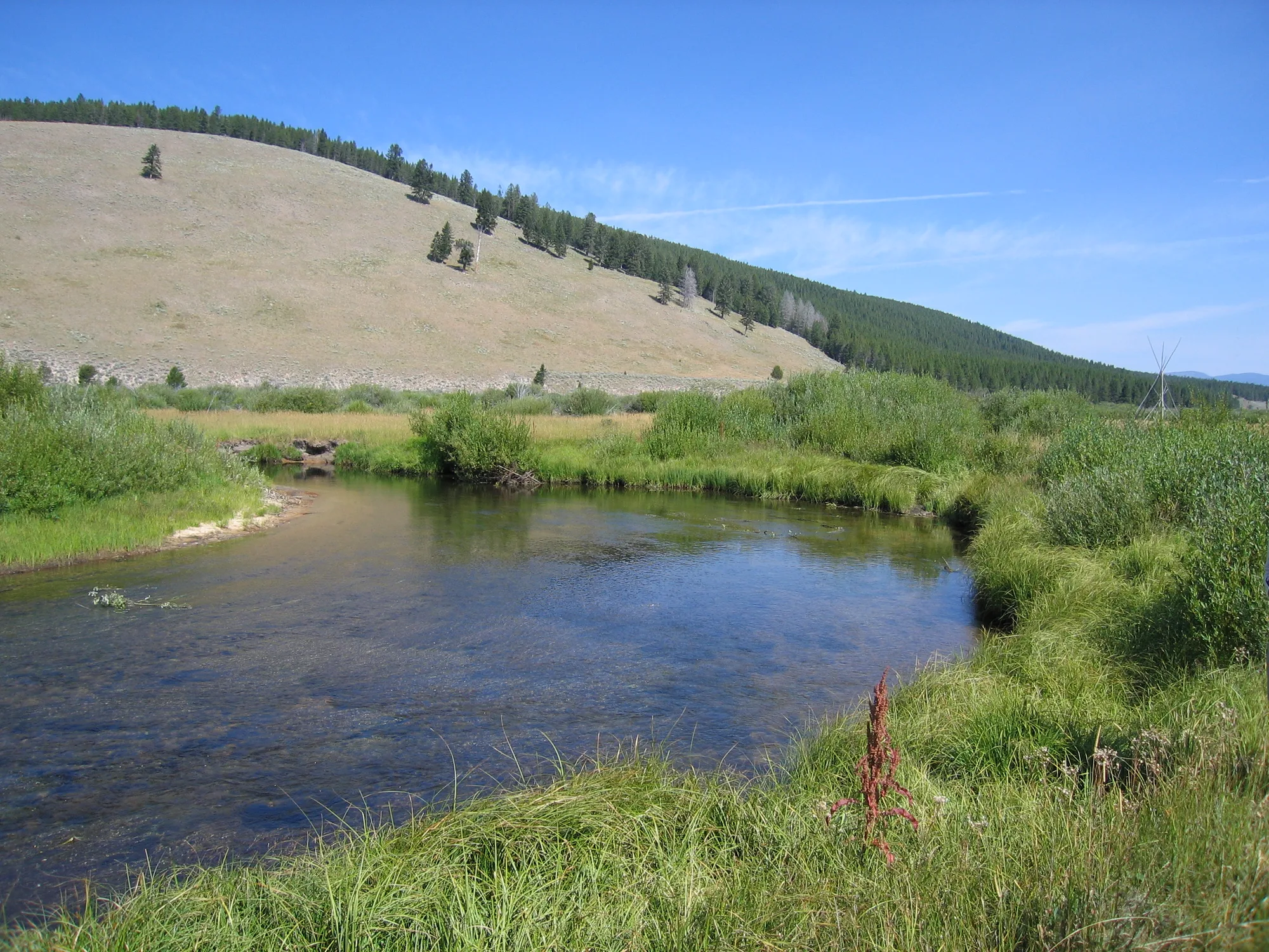
In a broad southwestern Montana valley, the North Fork of the Big Hole River winds past willows and open grassland. The quiet landscape at Big Hole National Battlefield is also a place of mourning: in August 1877, U.S. troops attacked a sleeping nímí·pu· (Nez Perce) encampment here during the forced flight of Nez Perce families.
The National Park Service says between 60 and 90 Nez Perce men, women and children were killed during the battle. Today the site honors those who fought and died and remains sacred to the nímí·pu·. A visit is best approached with care, time to learn and respect for the people whose history continues here.
Start with the story at the visitor center
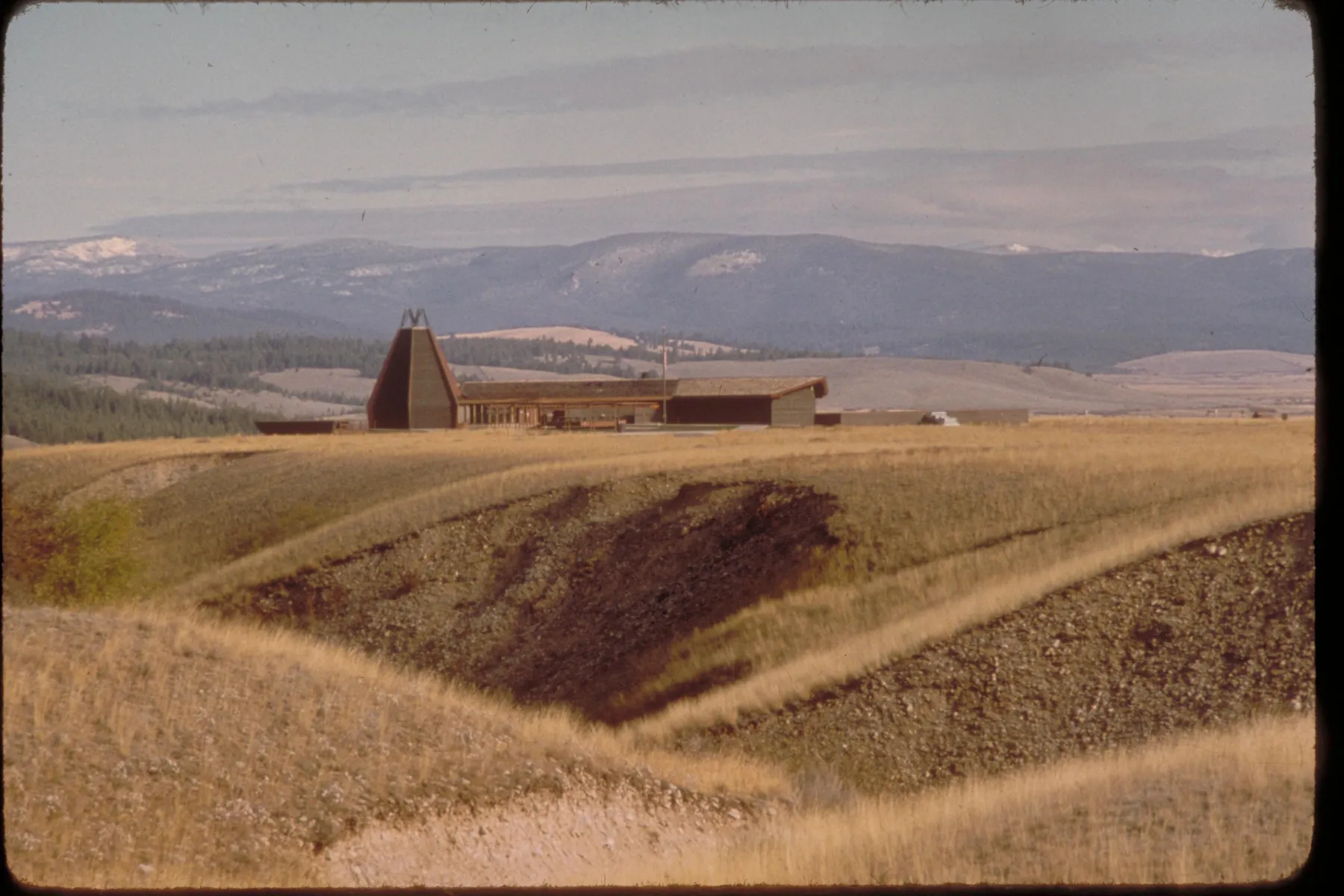
Big Hole National Battlefield is west of Wisdom, Montana, on Highway 43. Its visitor center offers exhibits, a film and a bookstore that can help orient visitors before they enter the battlefield. Hours change with the season; check the park’s official hours or call ahead, especially in winter and around holidays. The park’s online hours contain conflicting details for some days, making a direct check particularly useful.
The 1877 conflict followed U.S. government efforts to move non-treaty Nez Perce bands onto a smaller reservation. Families traveled east across the Bitterroot Mountains, eventually camping along the river in the Big Hole Valley. Many knew the area from journeys to hunt buffalo and gathered food while horses grazed.
On the morning of August 9, U.S. forces under Colonel John Gibbon attacked the camp. Nez Perce warriors counterattacked and held troops under siege while families and wounded people moved away. The fighting continued into August 10. The park’s exhibits and Nez Perce accounts provide essential context for a story often reduced to a list of military movements.
No entrance pass is required at this site, according to the park. Trails and the visitor center do not always share the same hours, so confirm both if a film or ranger conversation is important to your plans.
Walk the Nez Perce Camp Trail
The Nez Perce Camp Trail leads toward the area where families camped before the attack. The park lists the route as 1.6 miles round trip on largely level packed earth, with about an hour suggested for the walk. Mud, dry ruts and ground-squirrel holes can make the surface uneven; allow more time if you want to read and reflect.
This was not an empty battlefield before the fighting began. Families cooked, cared for children and rested beside the river. The Park Service describes women gathering camas roots, a traditional food, before the attack interrupted the camp. Tipi memorials mark camp locations and honor those who were there.
Many people are buried in and near the campsite. Stay on the established trail, leave memorial offerings untouched and do not collect objects or disturb the ground. These rules protect a burial place and the living connection that descendants maintain with it.
Follow the Siege Area Trail
The Siege Area Trail approaches ground where nímí·pu· warriors held the surviving troops under siege after the initial attack. The National Park Service lists this walk as 1.2 miles round trip, with about 50 feet of elevation gain and interpretive stops along the way.
The route offers a different perspective on the same event. From here, the landscape makes it easier to understand that the confrontation extended across the valley rather than occurring at one point. The park identifies rifle pits dug by soldiers and an 1883 monument to the 7th U.S. Infantry among the features interpreted along the route.
Read the interpretation alongside the story of the camp. A visit that considers only the positions of the soldiers misses the families whose lives were upended, and a full account should make room for Native testimony as well as military records and archaeological research.
Consider the steeper Howitzer Trail
The Howitzer Trail is a spur from the Siege Area route, not a separate flat loop. The park lists the spur at 0.8 mile round trip and approximately 320 feet of elevation gain. Its steep, rugged surface has roots and uneven ground, making it a more demanding choice than the other walks.
The trail leads toward the location where Nez Perce warriors captured a 12-pound mountain howitzer. A replica and views across the battlefield help place the action in the wider terrain. Check the route with a ranger and consider your footing, fitness, weather and daylight before beginning; add the distance needed to reach the spur to your overall plan.
The battlefield sits at roughly 6,300 feet. Drink water, wear layers and move at a comfortable pace, especially if you have arrived from a lower elevation. Give wildlife distance and never approach animals for photographs.
Plan for the season and the site’s sacred character
The park says its trails are open from sunrise to sunset year-round, but winter changes how visitors reach them. The road to the lower parking area and trailheads closes to vehicles in winter; snowshoers and cross-country skiers may still reach the area. Check current snow, road and trail conditions before setting out and carry suitable equipment.
Pets on a leash are permitted on paved surfaces but not on battlefield trails; service animals are treated under applicable park rules. Do not fly drones, use metal detectors or leave established paths. The park’s trail page explains both the routes and the reasons for these protections.
Leave enough time for silence as well as information. The valley is beautiful, but it is also a burial site and a place where descendants remember family members. Traveling thoughtfully means holding both truths together.