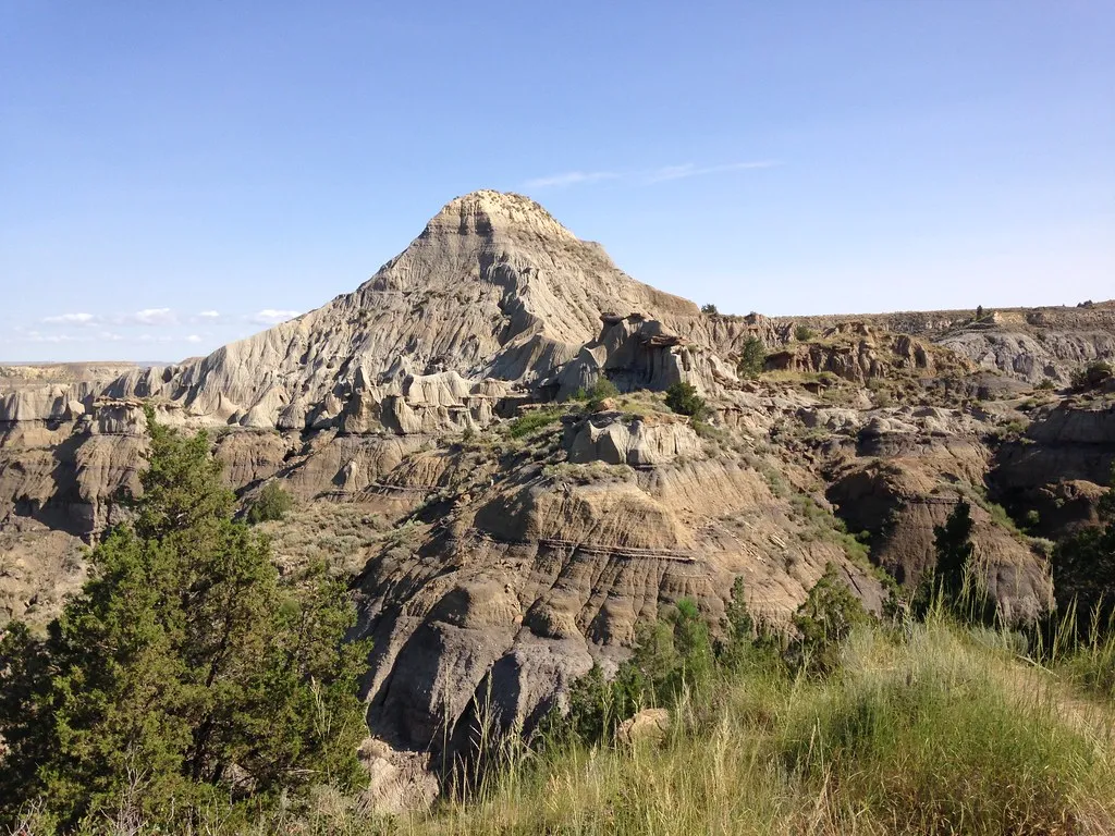
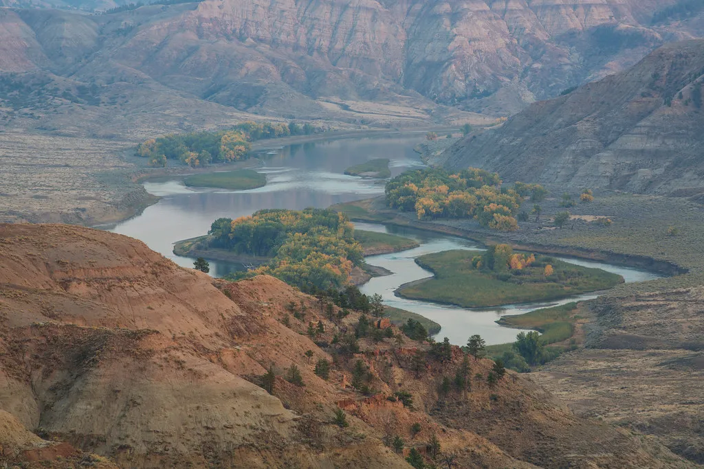
The Upper Missouri River bends through a sweep of sandstone cliffs, grasslands and rugged badlands in central Montana. The landscape is expansive and often remote, with long stretches where the river is the most practical route through the breaks.
That remoteness is part of the appeal, but it calls for a different kind of planning than a roadside overlook. These five ideas begin in Fort Benton and help visitors understand the history, water and country managed as the Upper Missouri River Breaks National Monument.
1. Start at the Missouri Breaks Interpretive Center
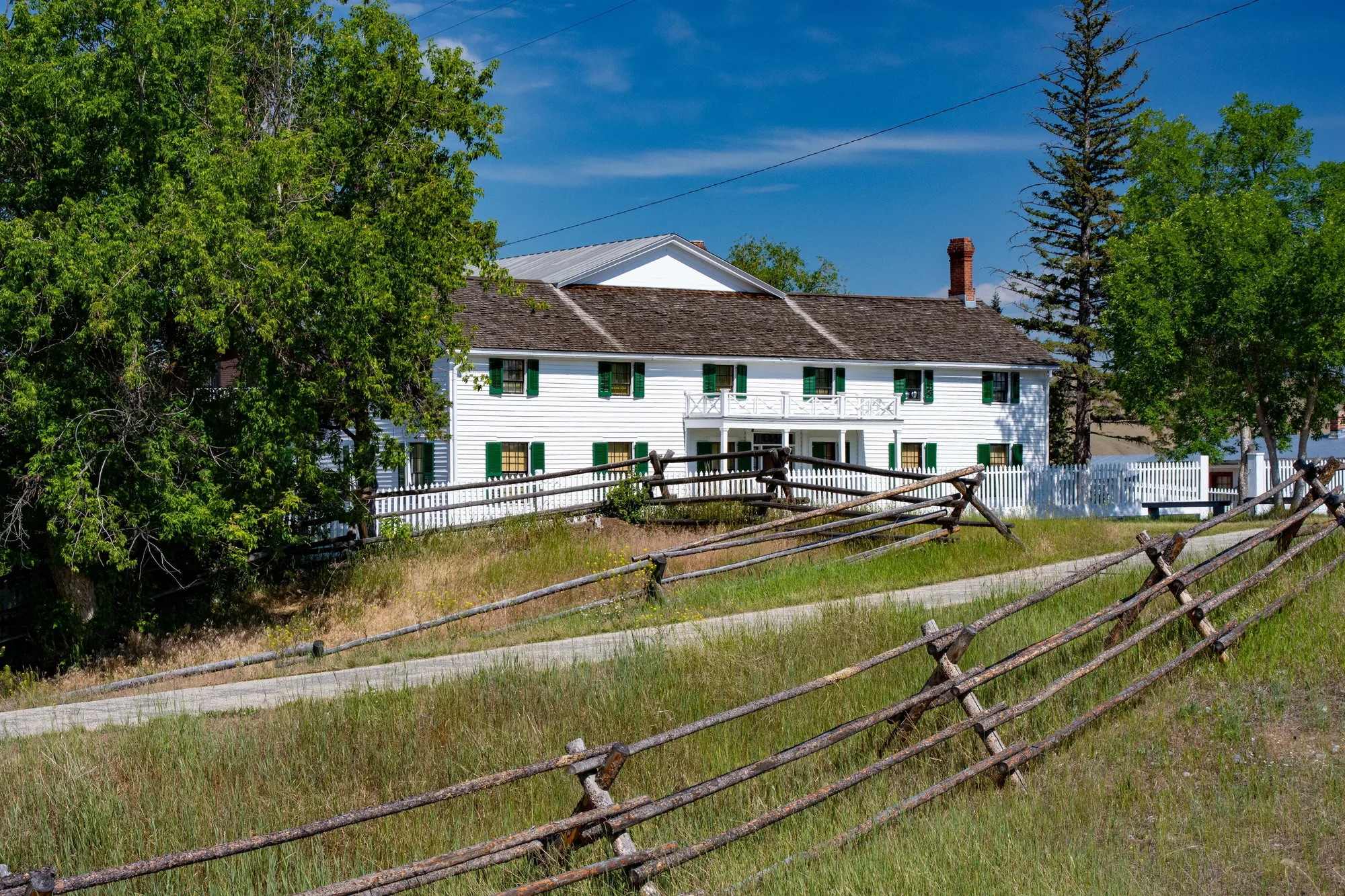
In Fort Benton, the Bureau of Land Management’s interpretive center is a useful first stop for maps, exhibits and trip advice. Displays introduce the river’s wildlife, Native peoples, steamboat era and other chapters of the region’s history. A riverside walking trail offers a way to stretch your legs before driving farther.
The center is at 701 7th Street. BLM lists free admission and seasonal hours: for fall and winter 2026–27, it reports weekday opening and closure on weekends and federal holidays. Verify the current schedule before you go, since hours may change. Ask staff about river flows, access points, road conditions and the amount of time your route requires.
The Upper Missouri is often introduced through Lewis and Clark or the steamboats that later reached Fort Benton, but the river has sustained Native communities for thousands of years. Spend time with those deeper stories and recognize that tribal connections to this landscape continue today.
2. Understand the river before choosing a float
BLM identifies a 149-mile stretch of the Upper Missouri National Wild and Scenic River between Fort Benton and James Kipp Recreation Area. Major access points include Fort Benton, Wood Bottom near Loma, Coal Banks Landing, Judith Landing and James Kipp. They are separated by substantial distances; choosing a launch without a realistic takeout can turn a pleasant idea into a difficult trip.
The section between Coal Banks Landing and Judith Landing includes the famous White Cliffs, where pale sandstone forms towers and sculpted walls beside the river. BLM’s boating guide identifies that stretch as roughly 47 river miles. It is not a casual afternoon paddle, and much of the surrounding terrain is difficult to reach by road.
Speak with BLM or a qualified outfitter about route length, current flows, equipment, shuttle arrangements and regulations. Wear a properly fitted life jacket, carry drinking water and weather protection, and tell someone your plans. Even a river with relatively gentle rapids can be dangerous in wind, cold water or rapidly changing weather.
3. See Coal Banks Landing and the White Cliffs corridor
Coal Banks Landing is a principal access point and a common launch for trips through the White Cliffs. The landing itself can help you understand the scale of a river journey, even if you are not planning to float. Use developed public access sites and follow signs; nearby land ownership and access rules vary.
If you do arrange a multi-day trip, obtain the current river guide and learn how to protect campsites and cultural resources. Carry out waste as required, do not carve or mark rock, and leave archaeological objects and fossils where they are. The cliffs are fragile and contain stories that cannot be replaced once damaged.
Watercraft rules and seasonal motorized travel restrictions apply to parts of the river. Check BLM’s current guidance for your exact dates and route, and do not assume a summer rule applies unchanged in winter or in a later year.
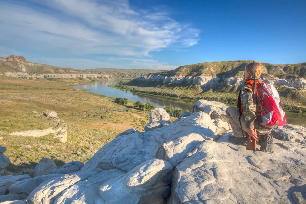
4. Explore the breaks with a realistic road plan
Not every visitor needs to take a boat, but driving into the monument requires preparation. BLM notes that many roads are gravel or unimproved, some are unsuitable for low-clearance vehicles and certain soils can become impassable when wet. Much of the monument has no road access at all.
Ask about a specific route before leaving Fort Benton, watch the weather and carry a paper map or downloaded map, water, fuel and supplies. Turn around when conditions deteriorate rather than trying to force a muddy road. Off-road driving is prohibited in the monument, and a line on a general map does not necessarily indicate a public, maintained route.
Public and private lands meet throughout the region. Know where you are, respect gates and signs and obtain permission before entering private property. A little advance research protects both the landscape and your trip.
5. Plan a return trip around the seasons
The breaks can feel very different from season to season. Summer offers long days but can bring heat and thunderstorms. In colder months, services and campgrounds may operate on reduced schedules or close, while wind and road conditions demand extra care. BLM publishes seasonal facility updates; confirm them before setting out.
Bring binoculars for wildlife viewing and observe animals from a distance. The area also holds geological and paleontological resources, but collecting rules vary by land and material. Leave anything you find in place and ask BLM for current guidance.
Whether you spend an hour at the interpretive center or plan a longer river expedition, the same principle applies: let distance and conditions shape the day. Check the official river information before departure and give this remarkable landscape the time and preparation it deserves.