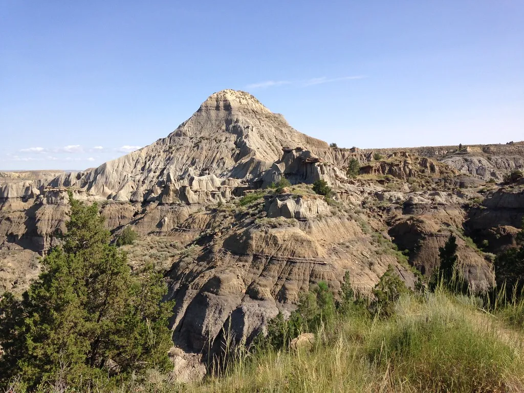
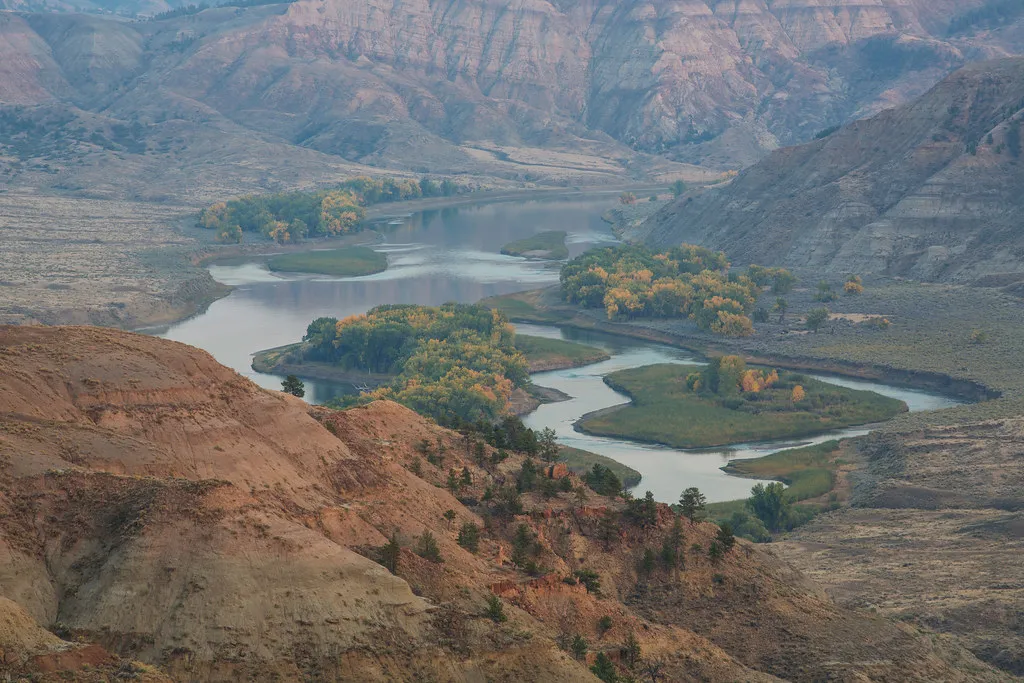
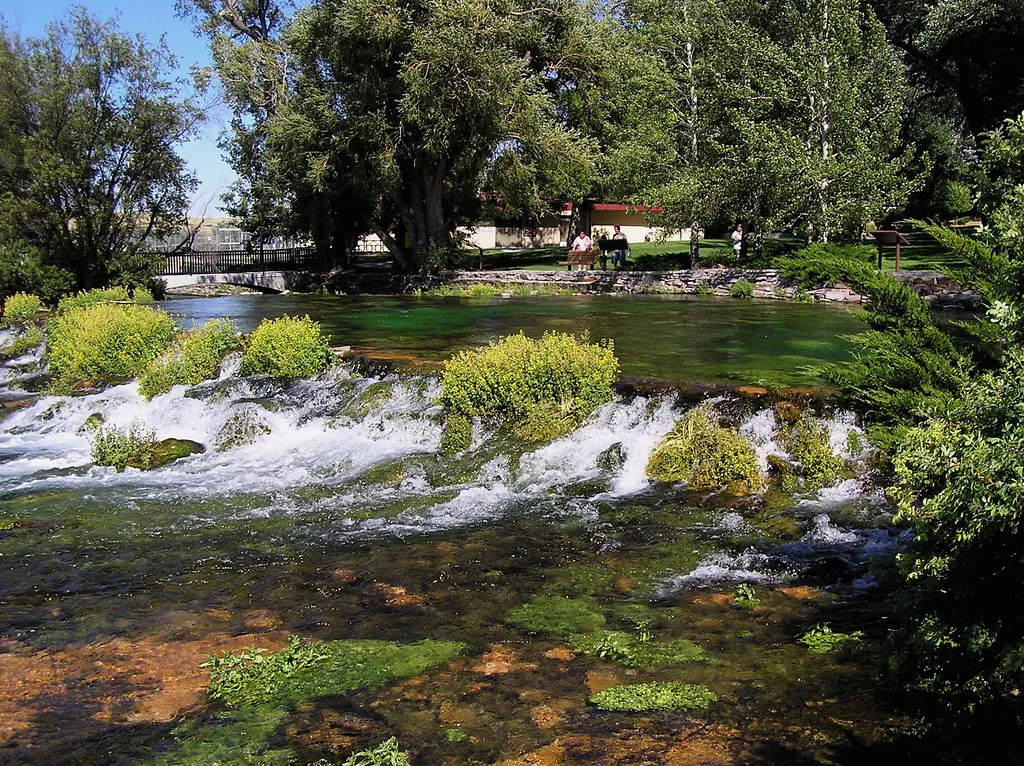
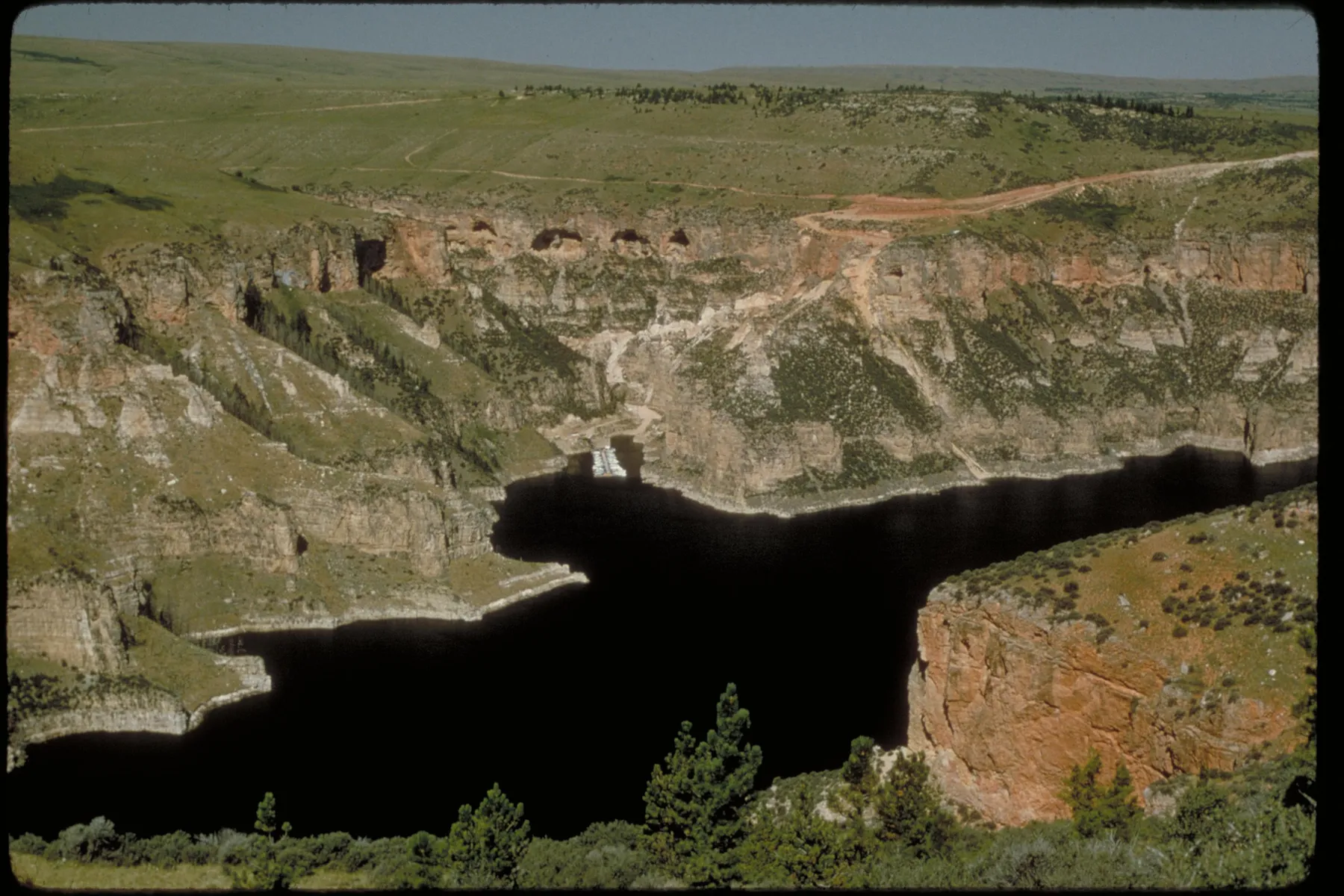
Near Fort Smith, Montana, the Bighorn River moves through a landscape of water, dry hills and canyon walls shaped by both natural forces and human decisions. Bighorn Canyon National Recreation Area offers boating, riverside walks and wildlife watching here, but its geography can surprise first-time visitors.
The park has two districts that are not connected by a direct road. Its northern district is reached from Fort Smith in Montana; the southern district is approached from Lovell, Wyoming, roughly a three-hour drive away. These five ideas focus on the Montana side and help you plan without mistaking a distant overlook for a quick detour.
1. Get oriented at Fort Smith
From Billings, the National Park Service directs drivers toward Hardin on Interstate 90, then south on Montana Highway 313 through St. Xavier to Fort Smith. Check the park’s directions and current alerts before starting, and download your route in advance.
The north district is primarily a water-based destination. Its features include Afterbay Reservoir, the Bighorn River, Ok-A-Beh Marina and several short trails. The park’s map page lists the Yellowtail Dam Visitor Center as closed; verify current visitor services and facility hours directly with the park before counting on them.
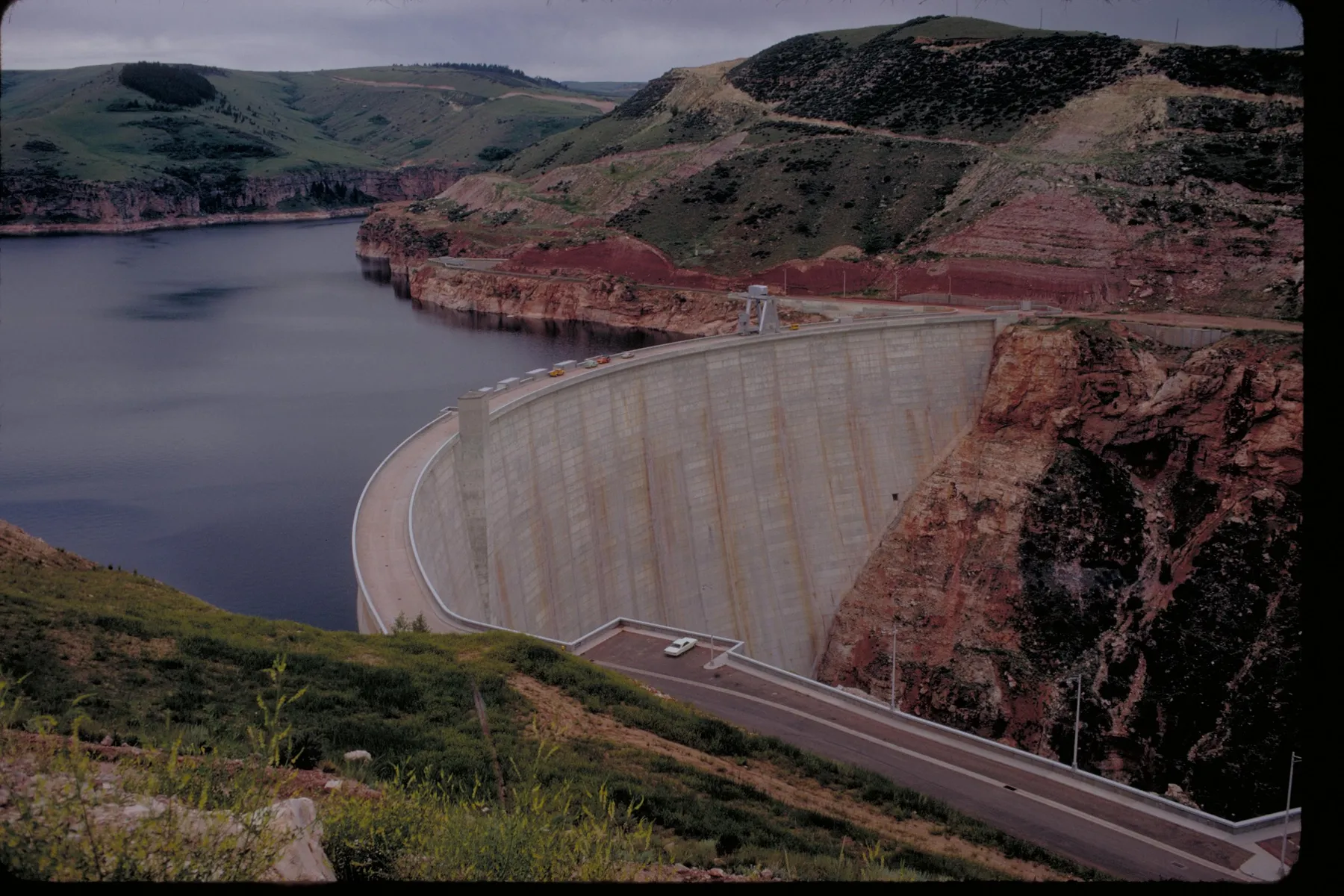
Yellowtail Dam was built by the Bureau of Reclamation and created Bighorn Lake. It is named for Robert Yellowtail, a Crow leader. The river and its surrounding lands have histories far older than the dam, including the enduring presence of the Apsáalooke, or Crow people. Respect adjacent tribal lands and follow posted access rules.
2. Spend time at Afterbay Reservoir
Below Yellowtail Dam, Afterbay Reservoir provides a different experience from the long canyon lake upstream. The National Park Service lists a boat launch and campgrounds in this area, making it a useful base for a relaxed day near the water or an overnight stay when facilities are open.
Bring binoculars for wildlife watching and look for waterfowl without approaching nesting areas. Conditions, water levels and available services can change. Before launching, check current ramp status, weather, boating regulations and any aquatic invasive species inspection requirements that apply to your boat.
For a campsite, confirm whether your preferred area is open and how sites are assigned. Pack water, sun protection and layers: shade may be limited, and wind can change how the day feels. Keep food secured and leave wildlife and plants undisturbed.
3. Choose a short walk near the water
The north district has three trails listed by the park. Beaver Pond Nature Trail is described as 2.6 miles round trip and moderate; Three Mile Access is listed as two miles round trip and easy. The Bighorn Head Gate Trail is a much shorter 0.1-mile round trip, reached through the Afterbay Campground area.
The Head Gate route leads near remnants of an early irrigation system. The park notes that much of the structure is usually underwater in summer and that winter can be a better time to see it. Check the trailhead directions and current access before going; a historic feature may look quite different as water levels change.
Carry water even for a modest walk, wear closed-toe shoes and be alert for poison ivy, ticks and uneven ground. Ask the park for a current map and trail conditions, particularly after storms or in winter. Keep to established routes and give wildlife room.
4. Plan a Bighorn River outing carefully
The Bighorn River below Afterbay Dam attracts anglers and boaters, with access at Three Mile among the places identified by the park. A day on the river requires more planning than the short distances on a map might suggest. Check current flow, access points, weather and applicable Montana fishing regulations before setting out.
Wear an appropriate life jacket, use a craft suited to the water and arrange a realistic takeout. Cold water and changing releases can be serious hazards. A local guide can help visitors unfamiliar with the river understand conditions, but you should still confirm the operator’s current availability and the details of your trip.
Where public access meets private or tribal land, pay attention to signs and do not assume every bank is open for crossing. Leave room for other visitors at boat ramps, pack out fishing line and avoid disturbing wildlife along the river.
5. Treat the Wyoming district as a separate itinerary
Devil Canyon Overlook, Horseshoe Bend and the park’s historic ranches are reached from the south district near Lovell, Wyoming. They are rewarding destinations, but they are not connected to Fort Smith by a road through the recreation area. The park estimates roughly three hours of driving between districts.
If you have time for both sides, plan the drive as part of a larger trip and verify fuel, lodging and seasonal access. The lake itself crosses the state line, but that does not make a north-to-south paddle a casual shortcut: the park notes that there is no National Park Service shuttle between districts and that shoreline and launch conditions change with water levels.
For a first Montana visit, it may be better to choose a comfortable base around Fort Smith and enjoy the Afterbay, river and nearby trails at a slower pace. Then return with a separate plan for the Wyoming side. Either way, check the latest park conditions before leaving and let the landscape dictate the timetable.