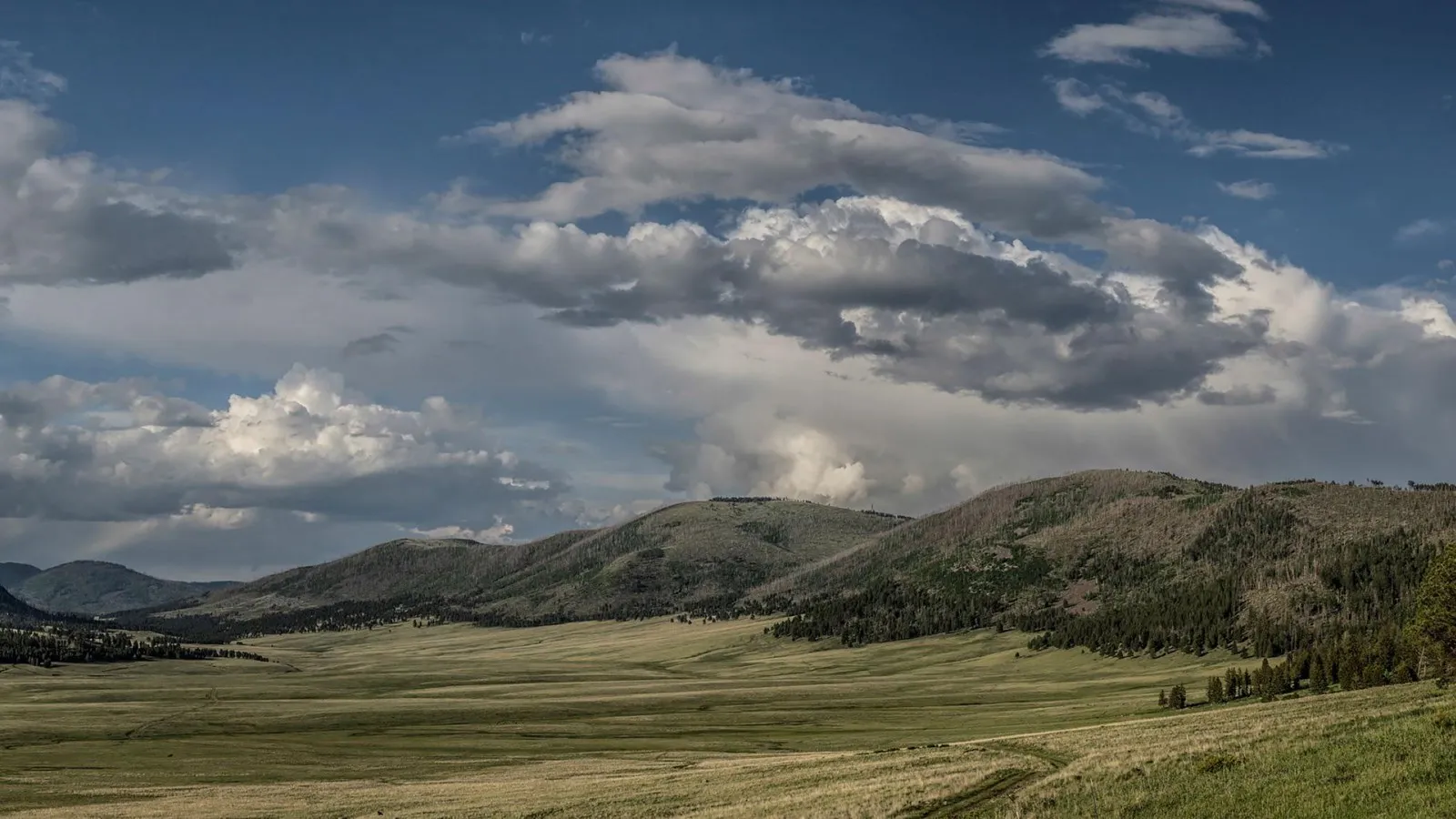
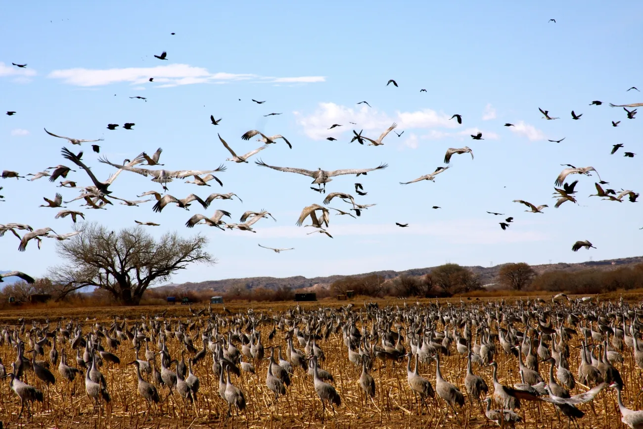
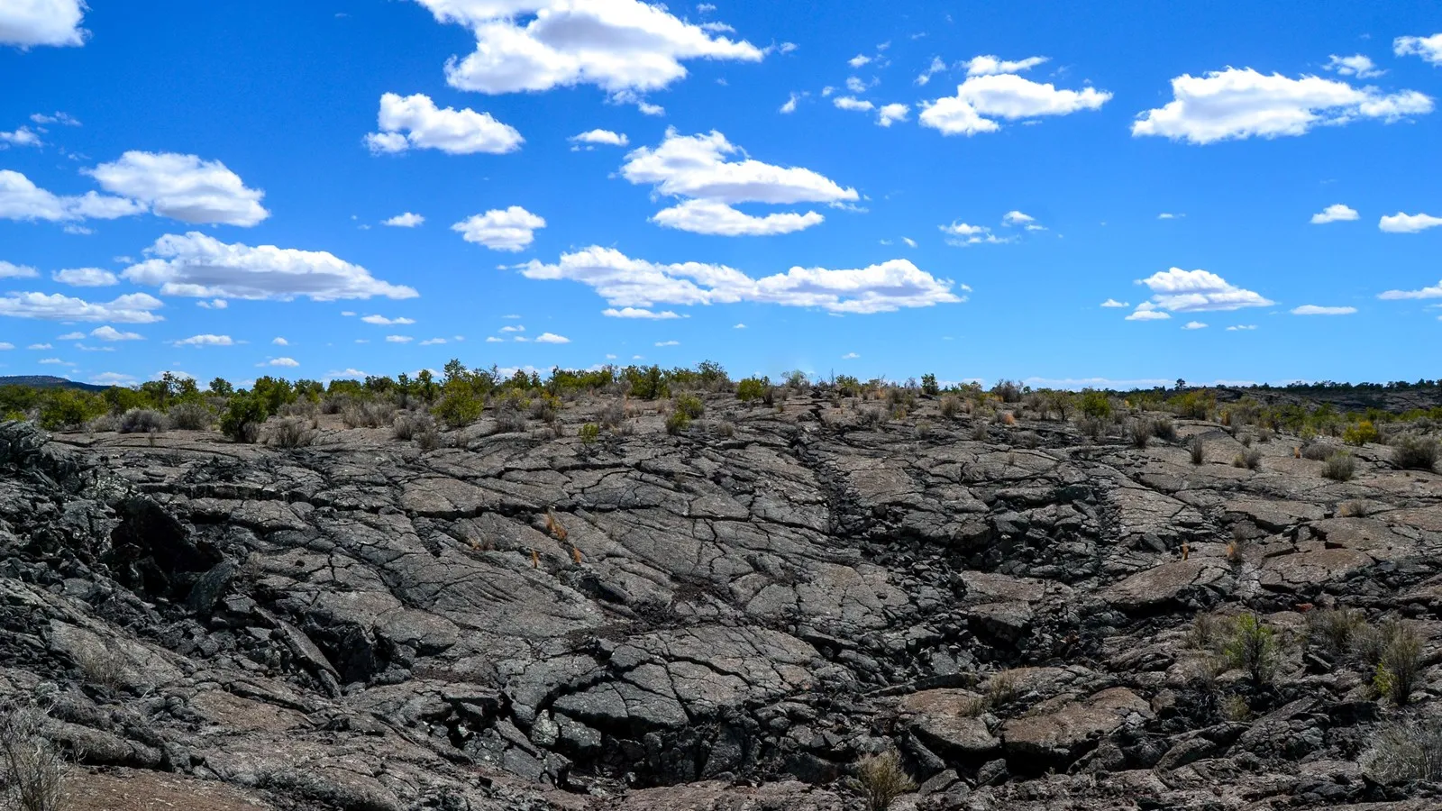
North of Taos, the Río Grande cuts through a high plateau of sagebrush and volcanic rock. Río Grande del Norte National Monument protects this dramatic gorge as well as grasslands, volcanic cones, wildlife habitat and places with long human histories.
The monument is broad, with several access points and very different ways to experience it. These five ideas can help you plan a day that fits your interests and abilities, whether you prefer an overlook, a riverside stop or a demanding hike.
1. Start with a map and a realistic route
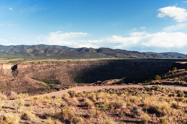
The Bureau of Land Management manages the monument from the Taos area north toward the Colorado border. Its major visitor areas include Orilla Verde in the south and Wild Rivers to the north. They are not interchangeable stops on a short walk: check distances, road conditions and visitor-center hours before building an itinerary.
Carry water, food, fuel and a downloaded map. Services are spread out, and mobile reception can be unreliable in the gorge. BLM notes that the plateau is around 7,000 feet above sea level; the elevation, strong sun and dry air can make a modest outing feel harder than expected.
Some recreation areas charge fees, and facilities or road access can change with weather. Check the official BLM pages for each stop. Public use of New Mexico State Trust Land has separate permit requirements, so stay on clearly identified public routes and respect private property.
2. See the gorge from above
The Río Grande Gorge Bridge on U.S. 64 offers a way to appreciate the scale of the canyon without descending to the river. BLM identifies the High Bridge Overlook as a scenic viewpoint. Use designated parking and pedestrian areas, stay behind barriers and supervise children closely near traffic and the rim.
Look for layers of dark volcanic rock in the canyon walls and the green ribbon of vegetation near the water. The gorge reaches hundreds of feet deep, and its appearance changes with clouds, seasons and the position of the sun. Binoculars can bring distant details into view without approaching an edge.
Wind and winter ice can make exposed overlooks uncomfortable or hazardous. If the weather is poor, shorten the stop or return another day. Never climb a barrier or step onto unstable ground for a photograph.
3. Follow the river at Orilla Verde
Orilla Verde Recreation Area sits along the Río Grande in the southern part of the monument. BLM describes campgrounds and river access beneath steep canyon walls. It offers a different perspective from the bridge: instead of looking down into the gorge, visitors can experience the corridor at river level from designated access areas.
Consult BLM’s current site information for fees, parking and campground rules. If you plan to fish, check New Mexico license and season requirements. River levels, currents and weather vary; water access should never be mistaken for a guarantee of safe swimming or boating.
Stay on established paths and do not disturb wildlife, archaeological sites or vegetation. If camping or picnicking, use allowed facilities, observe current fire restrictions and carry out litter. Keep pets on a leash and verify any trail-specific restrictions before starting.
4. Explore the Wild Rivers area at your own pace
Farther north, the Wild Rivers Recreation Area and its backcountry byway provide access to canyon views, trails and visitor facilities. Check the BLM map and current conditions before deciding how far to drive or walk. Winter snow, ice and high winds can make an otherwise straightforward plan difficult.
Gorge trails can be steep and exposed. BLM notes that many involve significant elevation change and distances of at least two miles round trip. Remember that a descent toward the river usually means a climb back out; choose a route for the return journey as well as the view.
Wear sturdy shoes, carry sufficient water and avoid hiking during lightning or extreme heat. Tell someone your route and expected return, and keep children away from cliff edges. An overlook or short walk can be a satisfying alternative when conditions or fitness make a longer descent unwise.
5. Discover the gorge’s surprising Apollo connection
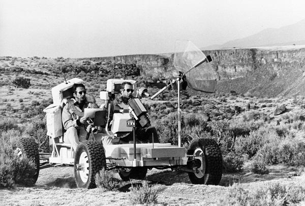
In March 1971, Apollo 15 astronauts David Scott and James Irwin trained near the Río Grande Gorge before their Moon mission. According to the BLM, the crew practiced describing geology, collecting samples and using a training rover in terrain that helped simulate features they would later encounter at Hadley Rille.
The BLM places much of this training near what is now Orilla Verde, south of Taos. It is an intriguing way to look at the landscape’s volcanic rocks and steep walls, but the history does not make every rim or riverside area open for exploration. Use established public access and leave rocks and cultural objects in place.
The monument has many stories beyond spaceflight, including enduring human connections to the river and plateau. Visitor-center interpretation and official maps can add context to a view that might otherwise seem purely geological.
Before setting out, review current road, weather and fire conditions. Give wildlife room, carry out what you bring and choose a flexible itinerary. The gorge rewards visitors who take time to understand the landscape as well as admire it.