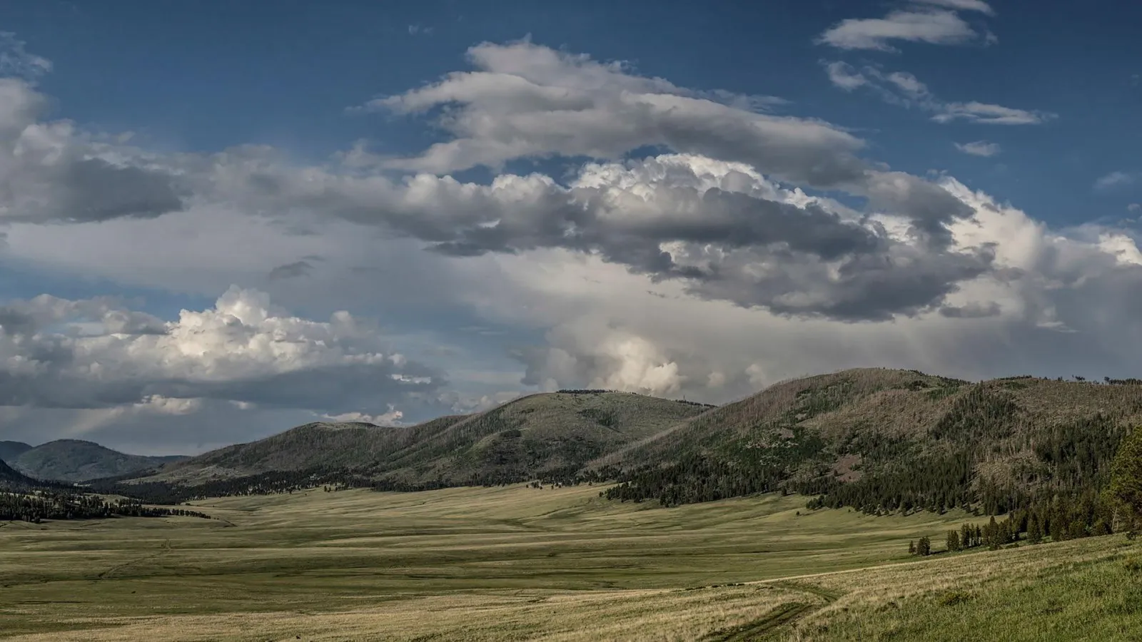
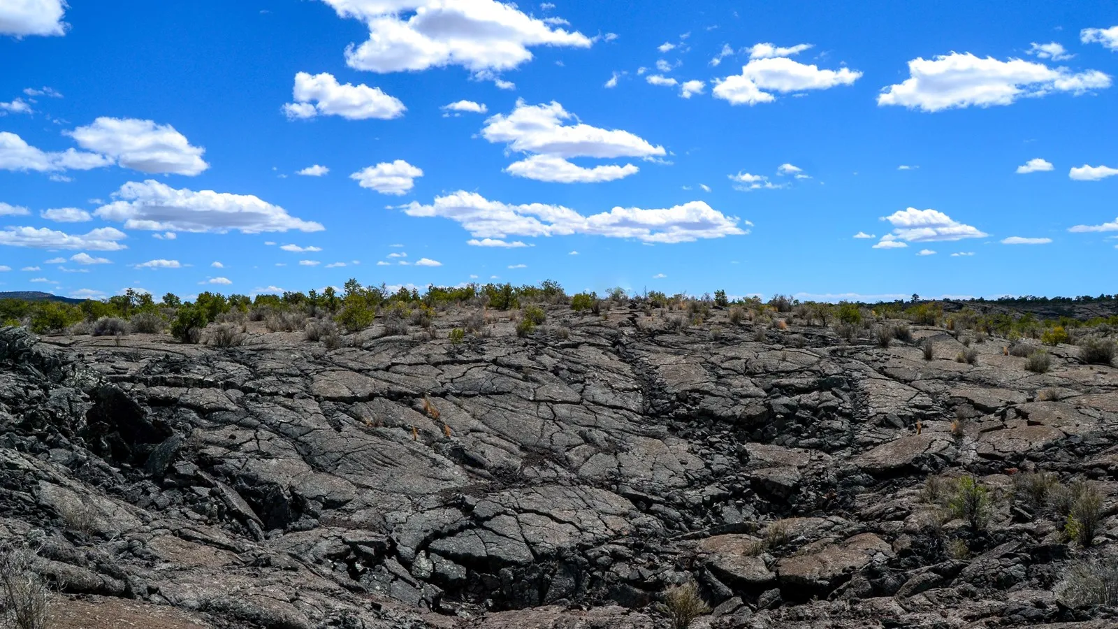
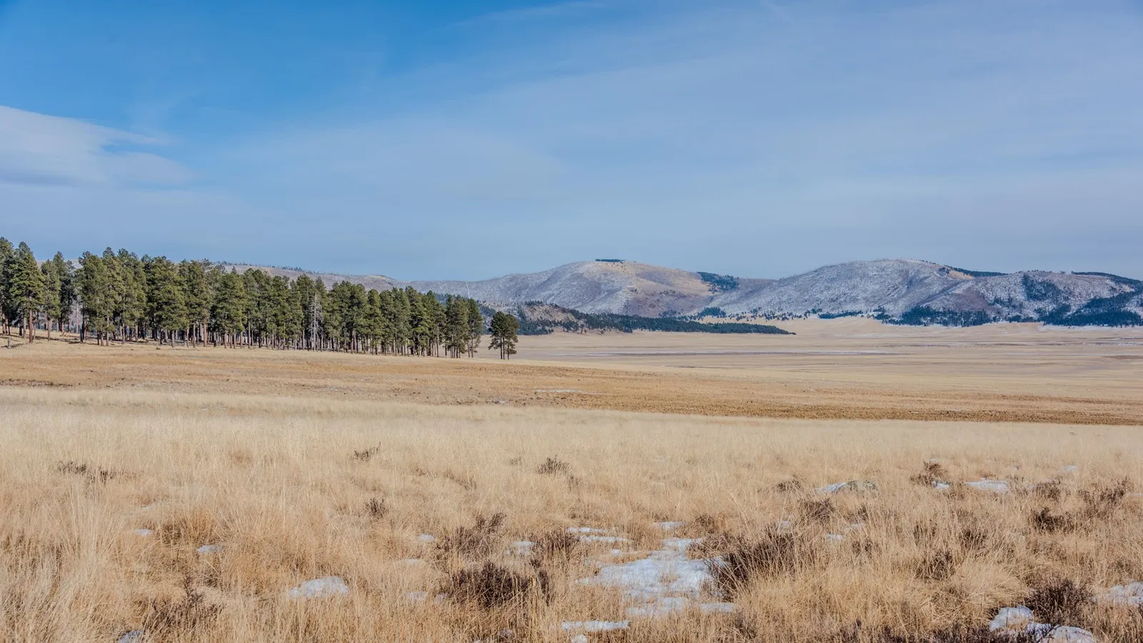
From New Mexico Highway 4, Valle Grande opens into a broad mountain grassland ringed by forested slopes and volcanic domes. It is only one part of Valles Caldera National Preserve, a vast landscape shaped by volcanic activity and cared for by people with long connections to the Jemez Mountains.
The preserve can be enjoyed from a roadside viewpoint, a visitor center or a longer trail. These five steps will help you choose a route, understand the seasonal vehicle rules and plan for a high-elevation day.
1. Start with Valle Grande and the visitor center
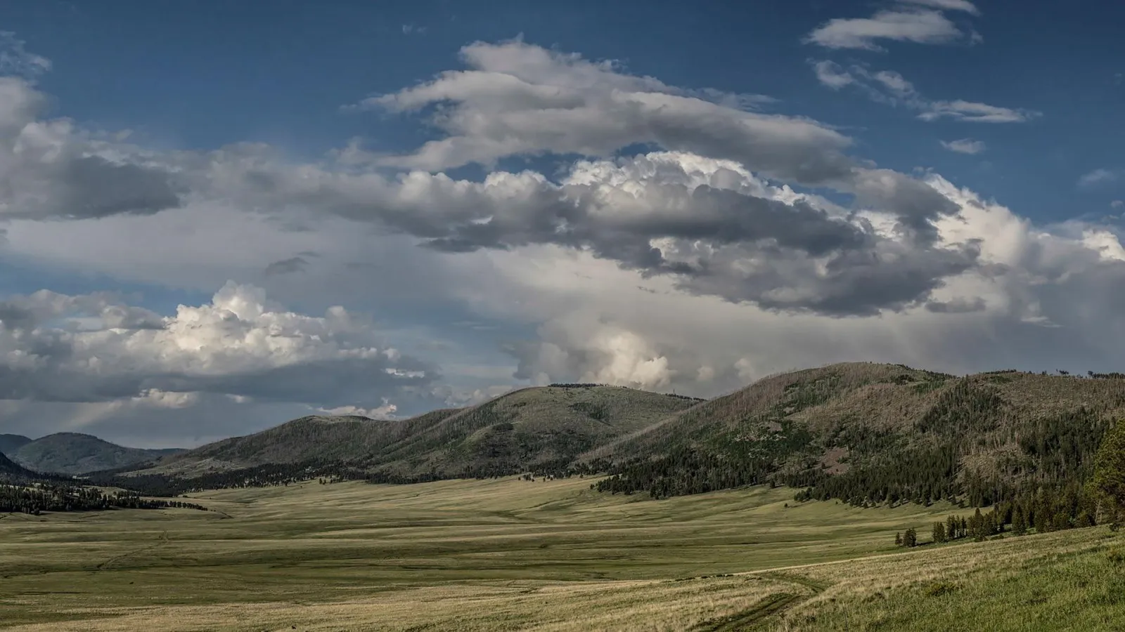
Valle Grande is the preserve’s most accessible and developed valley, visible from Highway 4 between Los Alamos and Jemez Springs. The NPS says it represents only a portion of the larger caldera. A legal roadside pullout can give you a first look at the scale of the grassland and the surrounding slopes.
The main vehicle entrance leads along a gravel road toward the Cabin District and Volcano Discovery Center. Stop for current maps, interpretation and advice from park staff. Check the entrance gate and visitor-center hours before leaving, especially around holidays or winter weather.
Allow time to look closely. The hills surrounding the valley include volcanic domes, and changing clouds and light can alter the landscape throughout the day. Use designated parking and viewing areas rather than stopping in the road.
2. Understand the backcountry vehicle pass
Driving beyond the Cabin District into the backcountry requires a separate vehicle pass, and passes are limited. The NPS uses Recreation.gov for advance reservations and makes a limited number available on the day according to its current guidance. Check the official backcountry page for availability, fees and the release schedule.
Backcountry vehicle access is seasonal and subject to weather and road closures. The park’s getting-around page lists a winter closure from November 15 to May 14, while other NPS guidance describes access through November 15; confirm the exact transition date with the preserve before making plans around it. A pass does not guarantee that a particular road will be open after rain or snow.
Roads are gravel and dirt, with possible ruts, rocks and washboard surfaces. High-clearance vehicles are recommended for the backcountry route. Drive slowly, watch for wildlife and check rental-vehicle rules before committing to an unpaved road.
3. Choose a walk that matches conditions
The preserve has several trailhead entrances and opportunities for hiking, biking, snowshoeing and cross-country skiing where allowed. Ask staff which routes are open and appropriate for your group. A map and current conditions are particularly important because some points of interest are not prominently marked.
At this elevation, sun, wind and changing weather can make a short walk feel strenuous. Carry water, food, layers, sun protection and a downloaded map. Summer thunderstorms can bring lightning, and winter snow or ice requires equipment and skills suited to the conditions. Turn back if the route is uncertain or weather deteriorates.
Stay on permitted routes and observe closures. A hiking or equestrian outing does not automatically provide backcountry vehicle access, and some former roads are closed to recreation. Check the park’s rules before making an ambitious loop.
4. Learn the human stories as well as the geology
Valles Caldera is more than a volcanic feature. The NPS shares the continuing relationship between Jemez Pueblo and Valle Grande, including traditional uses of the valley for hunting, horses and religious activities. Its interpretation includes the voices of Pueblo historians and offers a starting point for understanding those connections.
Listen to the park’s self-guided material and leave archaeological features, plants and stones undisturbed. Do not enter closed cultural sites or assume that every visible path is a public trail. Respect people engaged in cultural practices and ask before taking close photographs of individuals.
The preserve also contains evidence of later ranching and land use. At the visitor center, ask how these histories relate to ongoing restoration and stewardship. The valley is a living landscape with many layers, not an empty stage for recreation.
5. Watch wildlife from a distance and plan the return
The preserve’s grasslands and forests provide habitat for wildlife, including elk. Sightings vary by season and time of day. Binoculars let you observe without approaching, and a patient stop in a designated area can be more rewarding than trying to follow an animal.
Never feed wildlife or block a road to watch it. If an animal changes behavior because of your presence, move farther away. Keep pets under control and follow the preserve’s current rules for the area you visit.
Before setting out, check current gate hours, weather and road status. Carry out litter, leave enough daylight for the return and give the mountain roads the same attention as the preserve. A flexible day can include a scenic view even when a planned backcountry route is closed.