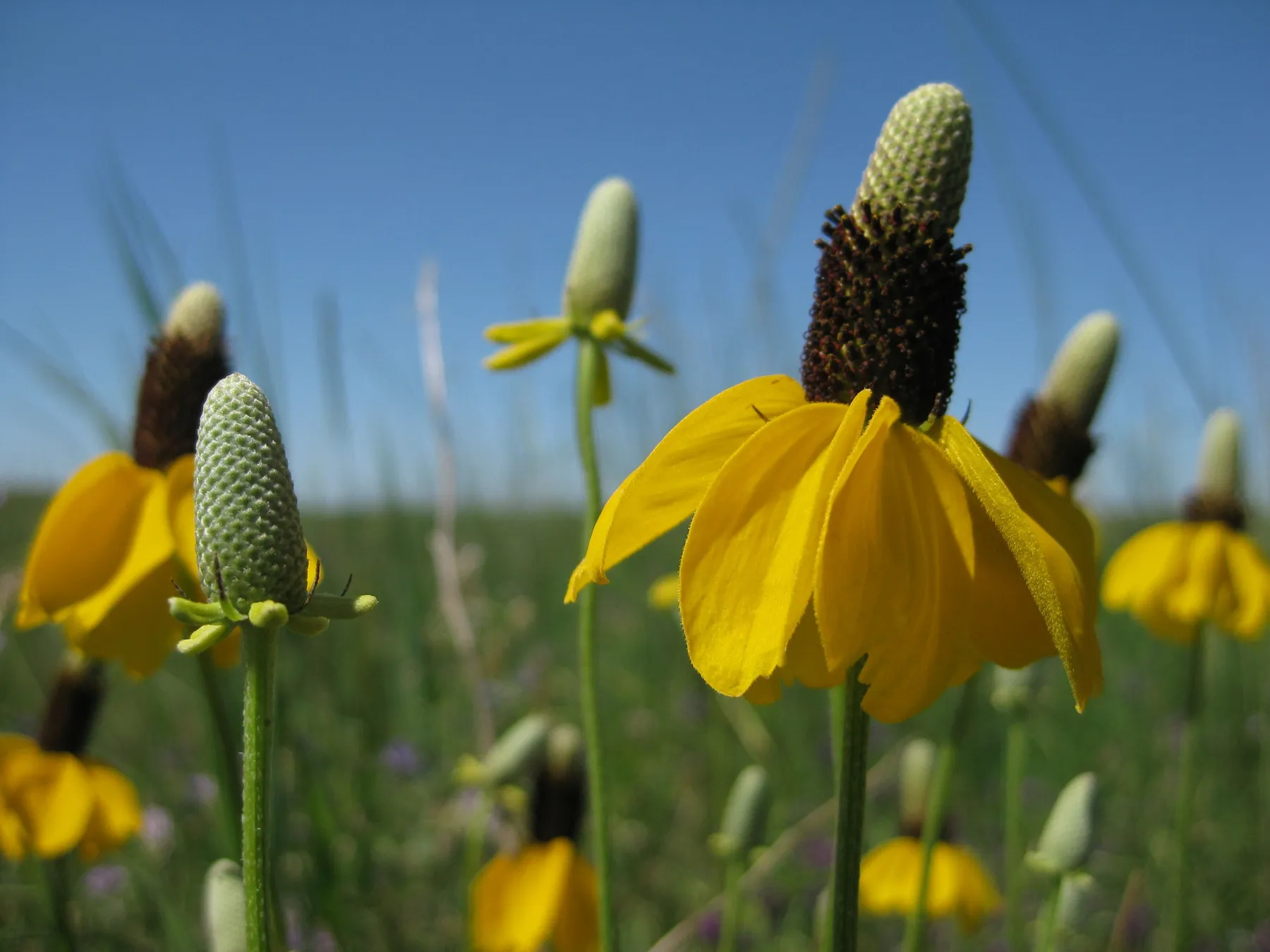
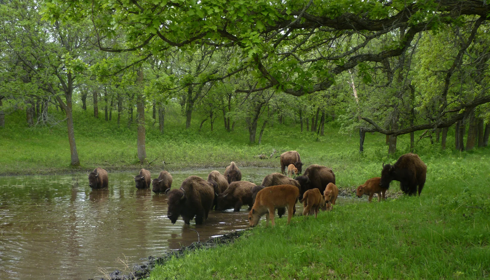
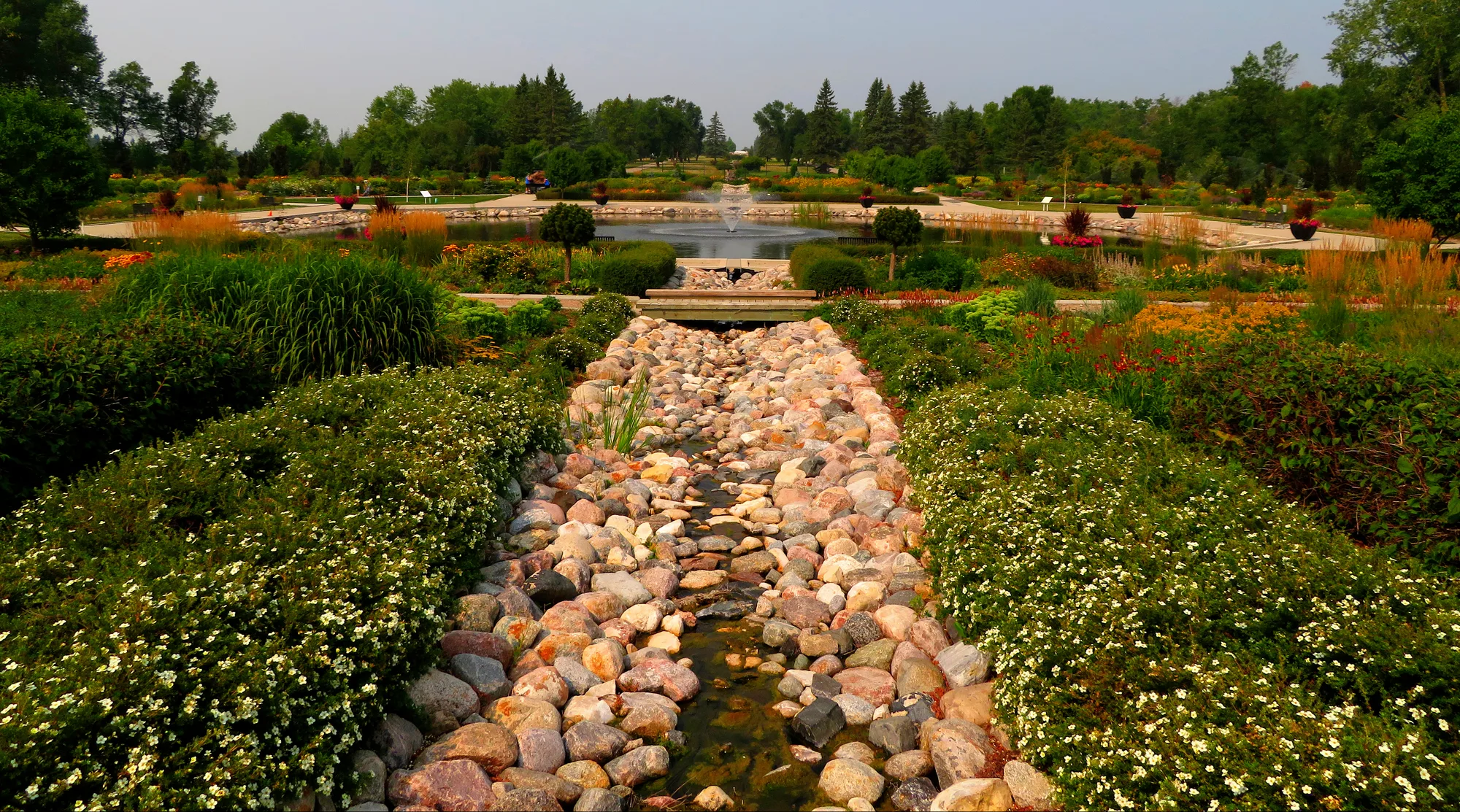
Lake Sakakawea stretches across a large part of western North Dakota, where open water meets prairie, wooded coulees and badlands. For visitors, its state parks offer several ways to experience the shoreline, from a short walk above the water to a longer camping or boating trip.
The lake is a reservoir created by Garrison Dam, and its history includes the flooding of land on the Fort Berthold Reservation despite objections from tribal members. A visit can make room for both the recreation available today and the communities affected by that transformation of the Missouri River.
These three state parks are in different locations around a very large lake. Choose one as a base and check current road, weather and water conditions rather than expecting a quick loop around the shore.
1. Lake Sakakawea State Park: A trail terminus and a south-shore base
Near Pick City, Lake Sakakawea State Park provides a mix of shoreline views, camping and access to the water. The North Dakota Parks and Recreation Department lists a swim beach, marina, boat ramp, picnic areas and trails among its facilities. Seasonal operations and water levels can affect what is available, so confirm current conditions before traveling.
The park is also the western terminus of the North Country National Scenic Trail. You do not need to be a long-distance hiker to appreciate that connection. Ask for a current map and choose a short section suited to your time, footwear and the weather.
The park describes its Overlook Trail as a 0.4-mile hiking route and its Shoreline Trail as a longer 2.8-mile route open to hiking and mountain biking. Distances and surfaces should be checked on the current map before setting out. Prairie sun, wind and changing temperatures make drinking water and layers useful even on a short outing.
For a lakeside weekend, reserve camping or a seasonal cabin in advance where possible. Confirm what services will be operating at the time of your visit, particularly in the colder months, when state parks may shift to limited services.
2. Fort Stevenson State Park: Bluffs, trails and two bays
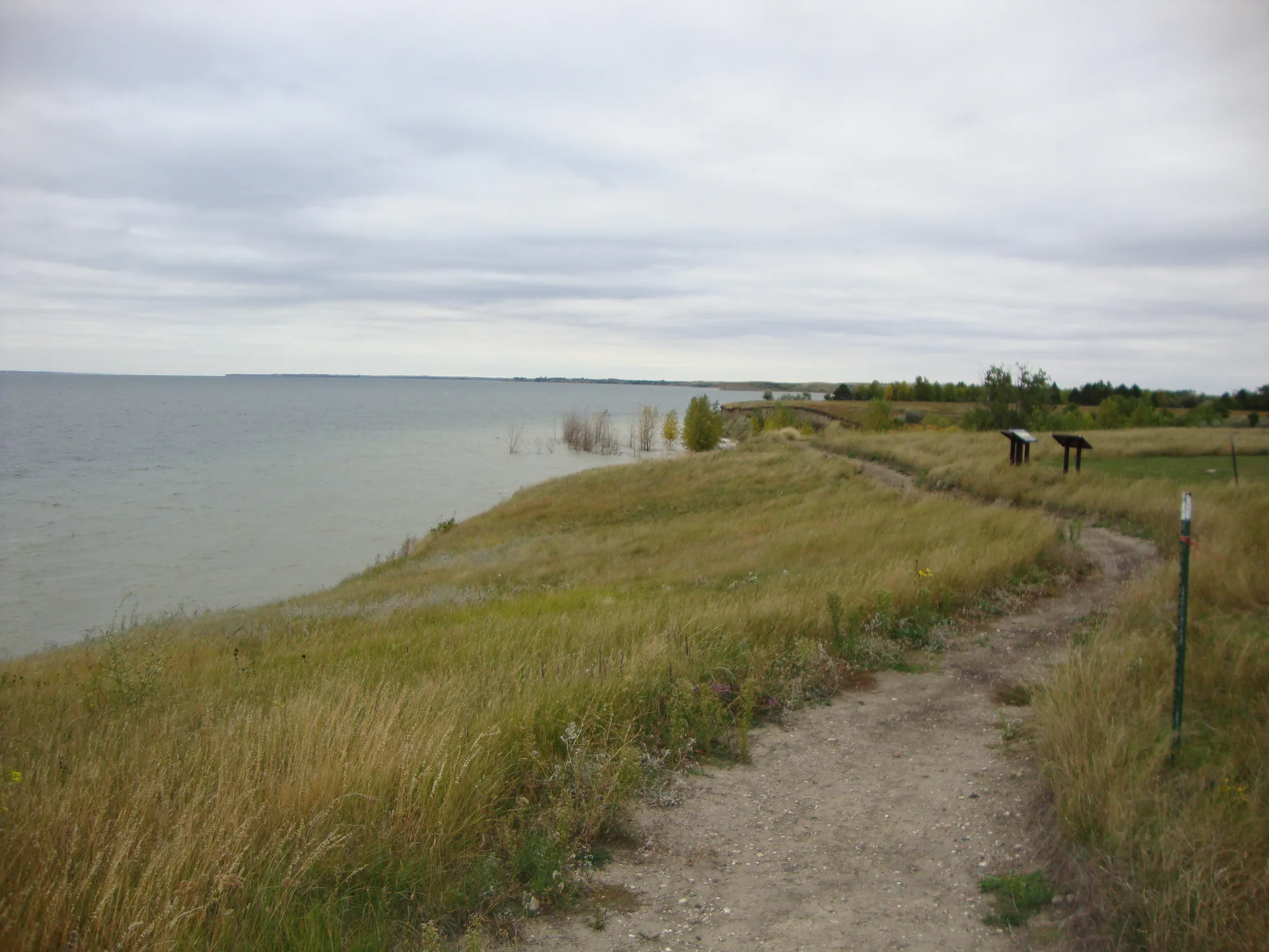
Fort Stevenson State Park sits along the lake's north shore near Garrison. Its trails pass through prairie and shoreline landscapes, providing opportunities to see the reservoir from land rather than from a boat.
The park has two marinas, at Garrison Bay and de Trobriand Bay. Availability, water access and marina services vary with season and lake conditions. If you are bringing a boat or planning a rental, contact the park ahead of time and ask about current ramp conditions, required permits and equipment.
A walk can be as simple as choosing a short segment from the park's trail map. Look for interpretive information and keep a respectful distance from wildlife, including the prairie dogs the park mentions among its trail features. Trails may have uneven surfaces or little shade, so choose footwear and supplies accordingly.
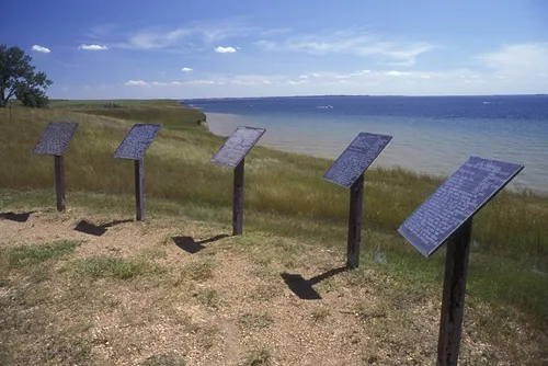
Wind is a defining part of travel on this open landscape. On the water, it can create waves and change conditions quickly. Wear a properly fitted life jacket, check the forecast and stay within the limits of your equipment and experience. A sheltered shore walk is a good alternative when boating conditions are poor.
3. Lewis and Clark State Park: Badlands and the lake's western reach
Lewis and Clark State Park is on Lake Sakakawea's north shore near its western end, amid rugged buttes of the North Dakota Badlands. The setting offers a different view of the reservoir from the parks farther east.
The state park lists shoreline access, camping and trails, including routes near campground areas. Its marina has a boat ramp, but travelers should confirm current operating conditions before towing a boat across the state. Water levels and weather can change how a ramp or shoreline is used.
Plan a walk around the time and conditions you have rather than treating a trail distance as a measure of difficulty by itself. Exposed ground can become hot in summer and slippery or muddy after rain. Carry water, use sun protection and consult the park's current map for permitted uses on each route.
Understand the lake's history
Garrison Dam changed the Missouri River and created Lake Sakakawea. The National Park Service explains that completion of the dam in 1953 flooded about one-quarter of the Fort Berthold Reservation despite pleas from tribal members to build elsewhere. Families and communities lost land and were displaced.
That history is part of any understanding of the lake. Seek out interpretation and perspectives from the Mandan, Hidatsa and Arikara Nation and other knowledgeable sources, and avoid treating the reservoir solely as an empty recreation landscape. The shoreline has stories that predate the dam and continue today.
Plan for distance and changing conditions
Lake Sakakawea is immense, and parks on opposite sides or ends may be separated by substantial driving. Check a road map, fuel availability and your destination's entrance requirements before setting off. Do not assume a marina or campground seen on a map is open or fully serviced in every season.
For swimming, fishing or boating, follow current state rules and posted signs. Ask about water quality, ramps, fishing licenses and aquatic invasive species requirements where relevant. Clean and drain boats and equipment as required before moving to another water body.
A thoughtful first trip might focus on one park, a short trail and a picnic. With time for the weather, the distance and the lake's human history, the wide-open shoreline becomes more than a quick scenic stop.