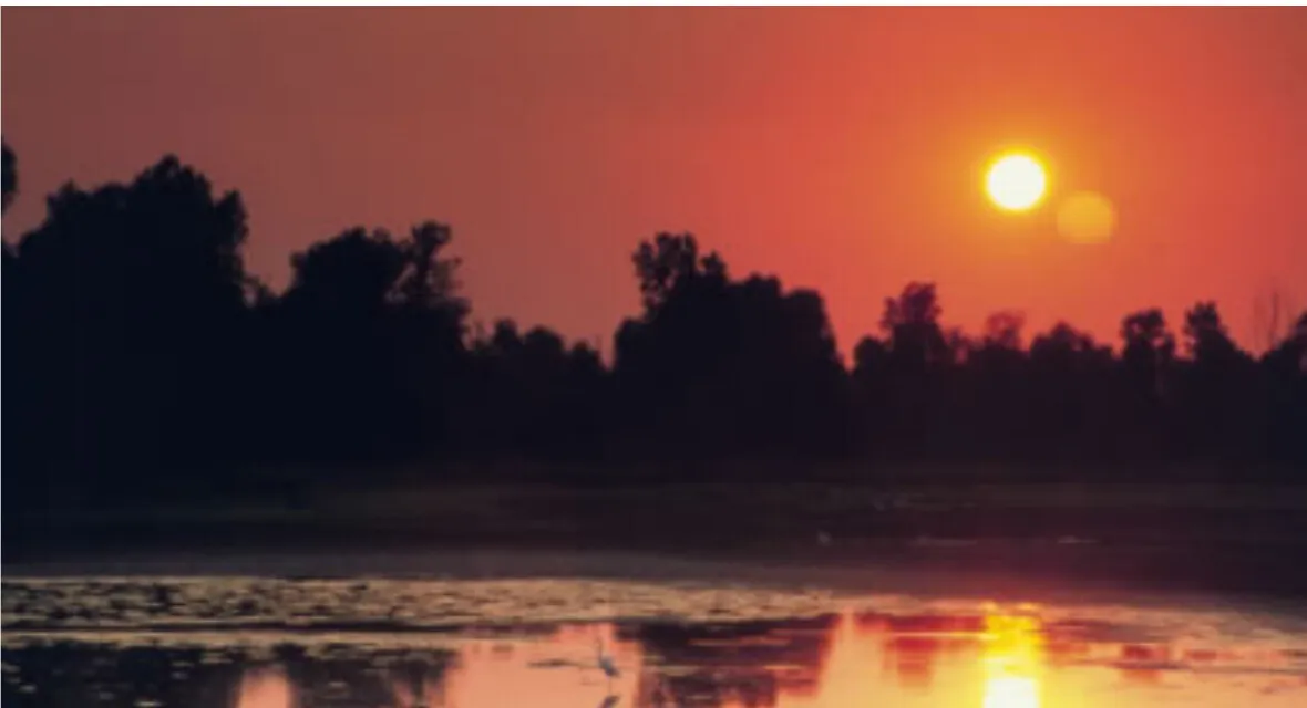
Oklahoma's natural landscapes change dramatically across the state. Granite mountains rise above prairie in the southwest, springs run through wooded country in the south, and wetlands shelter birds along rivers and reservoirs. In the north, salt flats hold crystals beneath their bright surface. Each landscape deserves more than a quick photograph.
These five destinations make good starting points for separate day trips or a longer itinerary. They are spread across Oklahoma, so check driving times and choose a region instead of trying to see them all at once. Each is a protected landscape with its own rules and seasonal conditions.
1. Wichita Mountains: Granite, prairie and bison
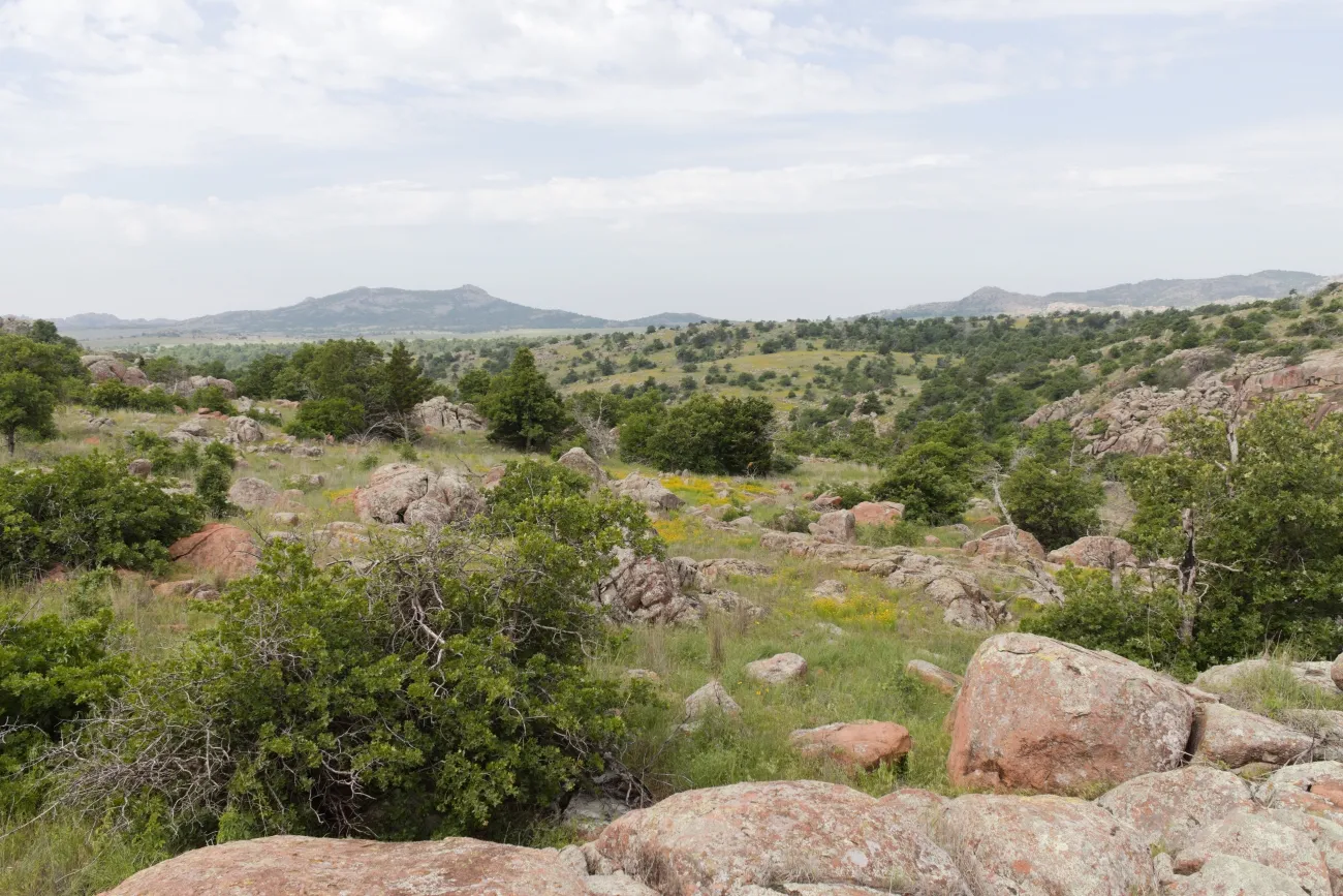
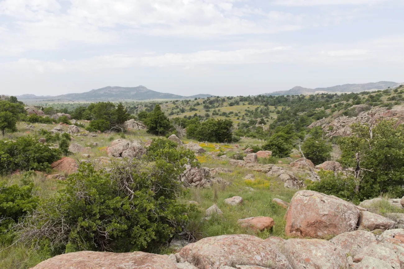
Near Cache, Wichita Mountains Wildlife Refuge protects mixed-grass prairie, rocky hills and lakes. Stop at the visitor center for a map, then select an open scenic drive, picnic spot or trail. Mount Scott is a familiar landmark, while Elk Mountain and Charon's Garden offer different ways to experience the granite terrain when open.
Bison and longhorn cattle roam freely. The Fish and Wildlife Service says not to approach them; use binoculars and give animals room near roads. Bring plenty of drinking water because the refuge has no potable water, and download your map before arriving because cell service is spotty. Controlled hunts can close different areas on different dates, so consult current alerts before choosing a trail. Entry is free.
2. Chickasaw: Springs and shaded creek walks
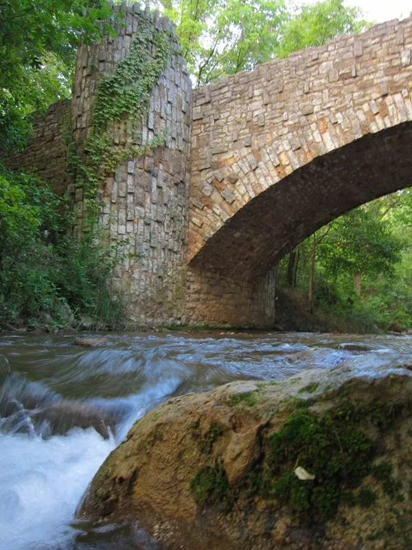
Near Sulphur, Chickasaw National Recreation Area combines springs, streams, wooded trails and larger lakes. The Travertine Nature Center is a useful place to start. From there, the Antelope Springs area offers a relatively short walk toward the water that feeds Travertine Creek; longer routes reveal more of the historic Platt district.
The Antelope Springs route has a gravel surface and may not work well for every mobility device. Pets are not allowed on the springs trails, and swimming or bathing is prohibited at Antelope and Buffalo Springs. Elsewhere, rules vary by location. Check the park's current conditions, signs and swimming rules, particularly after rain or on a busy summer weekend. Veterans Lake and Lake of the Arbuckles offer additional options when conditions permit.
3. Salt Plains: Crystals and a wide-open horizon
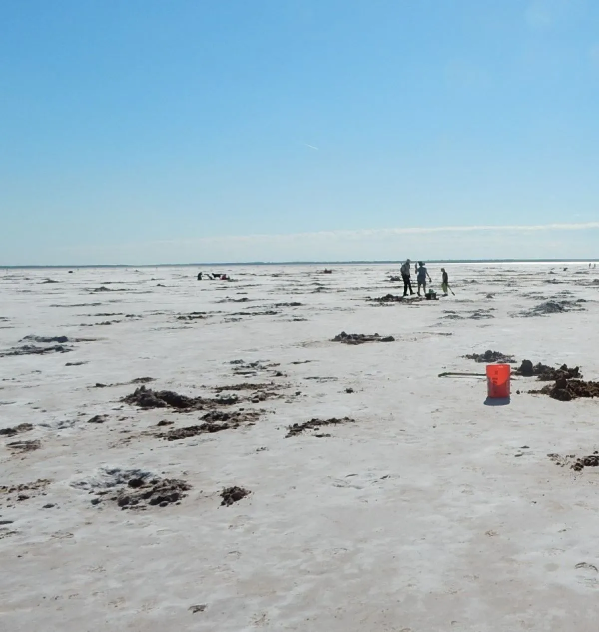
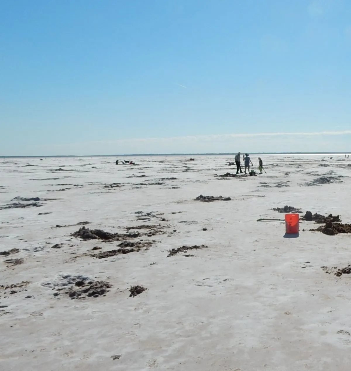
At Salt Plains National Wildlife Refuge in north-central Oklahoma, a white salt crust covers a broad landscape used by migratory birds. The famous hourglass selenite crystals form below the surface. Visitors may dig for them only in the designated area during the normal April 1–October 15 season, from sunrise to sunset, subject to current conditions.
Outside that season, an observation deck near the digging-area gate generally remains open from sunrise to sunset. Follow signs and stay out of protected areas; the seasonal closure helps wildlife, including whooping cranes. If digging is open, bring a shovel, sun protection and water, observe the collection limits and wash salt off your vehicle afterward. The refuge also has trails and a wildlife drive whose availability can change for hunts or maintenance.
4. Tishomingo: Prairie paths and Lake Texoma birding
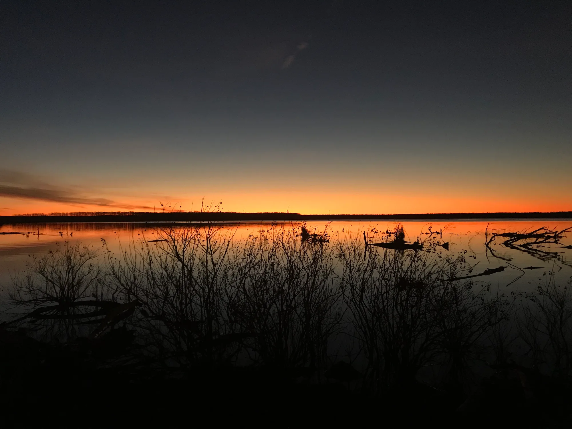
Tishomingo National Wildlife Refuge protects wetlands and uplands along the Washita arm of Lake Texoma. Craven Nature Trail leads through woods to a boardwalk overlooking Dick's Pond, while the paved Prairie Pathways route introduces native plants, art and local history. Both make good shorter options for a day that includes birdwatching.
The refuge reports seasonal waterfowl, shorebirds and other species; sightings depend on migration and water conditions. Carry binoculars and look quietly from designated areas. The visitor center has variable weekday hours, so call ahead if you need indoor services. Swimming and personal watercraft are prohibited on the refuge, and fishing and boating rules vary by location. Bring water, insect protection and a current map.
5. Sequoyah: Bottomland forest and a wildlife drive
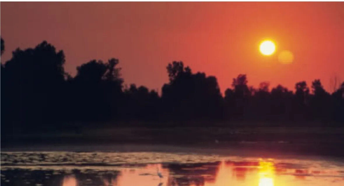
Near Vian in eastern Oklahoma, Sequoyah National Wildlife Refuge protects wetlands and bottomland hardwood forest within the Arkansas River floodplain. A tour road in the Sandtown Bottom Unit links overlooks, ramps and trailheads. The paved Horton Slough and Sandtown Woods nature trails each provide roughly a mile of walking and different views of the water and forest.
The refuge notes that winter often brings large numbers of waterfowl, with bald eagles among the possible sightings. Stop safely in designated areas and respect closed sections. Portions of the tour road may close during controlled hunts; check the refuge's current notices and call 918-773-5251 if you need help planning around a closure. The refuge is free, but office and outdoor hours differ.
Whatever destination you choose, remember that refuges and recreation areas are managed for wildlife as well as visitors. Stay on open routes, leave plants and cultural features in place, and carry out trash. Weather, water levels and seasonal management can change a plan quickly, so confirm current conditions immediately before the trip.