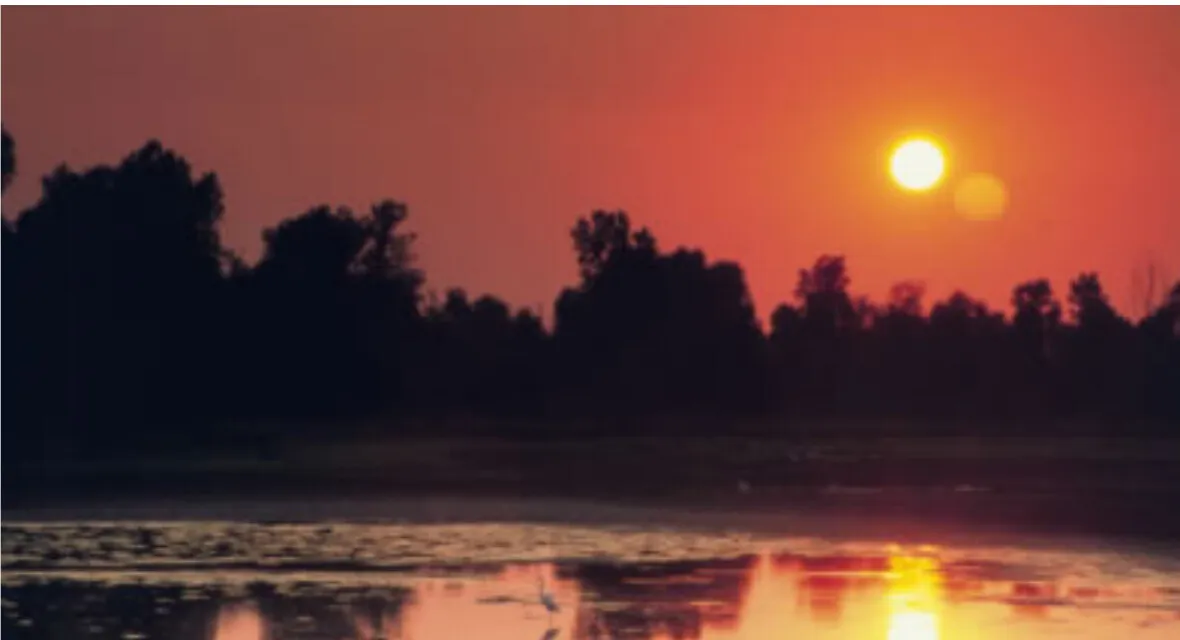
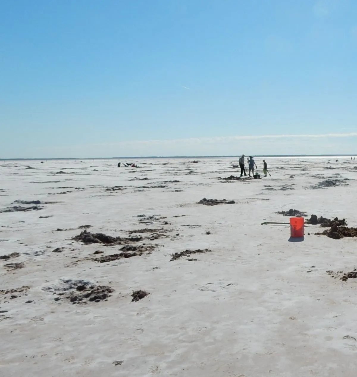
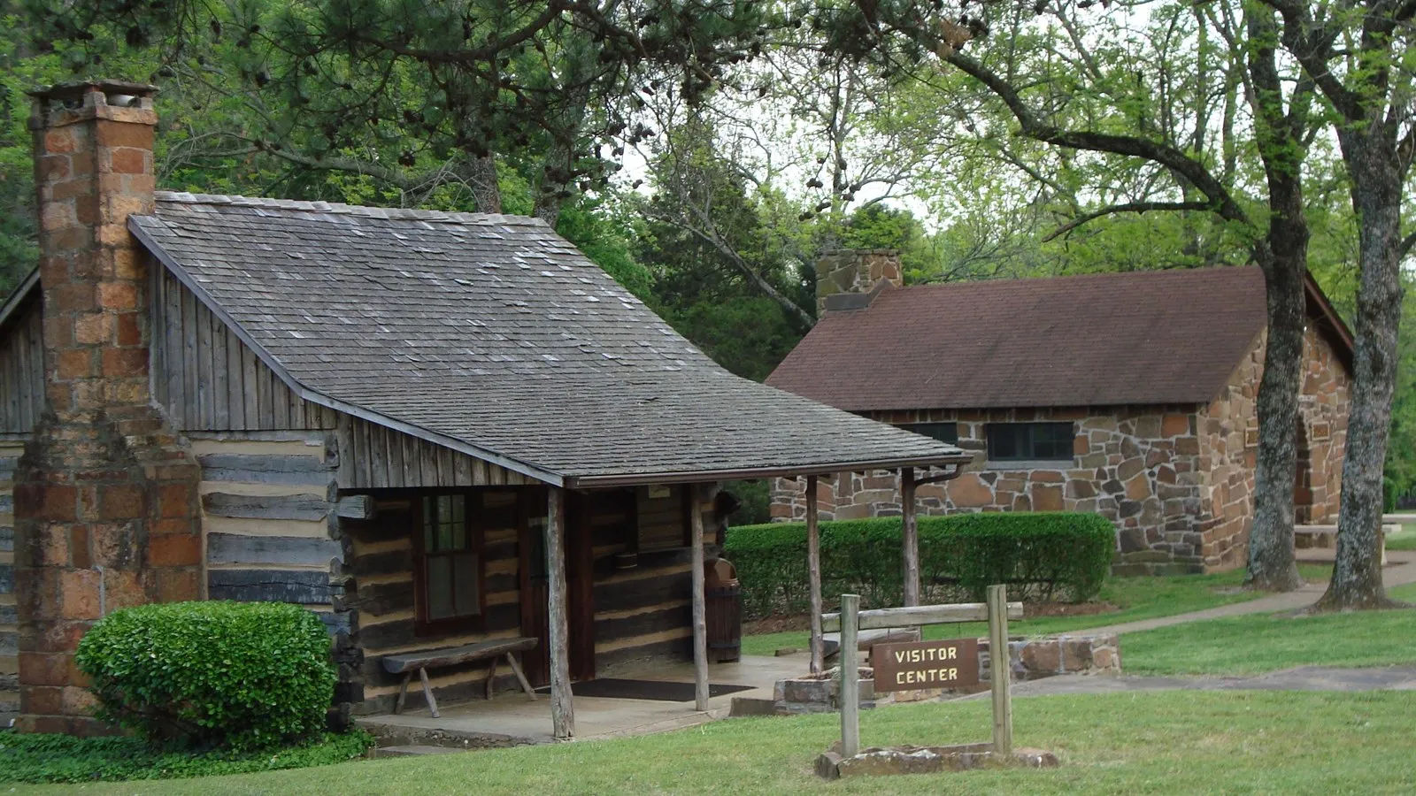
Granite mountains, mixed-grass prairie and free-roaming bison make Wichita Mountains Wildlife Refuge a memorable change of scenery in southwestern Oklahoma. The protected landscape near Cache invites visitors to look closely as well as look out: a broad summit view can be followed by a quiet moment beside a lake or a walk through rocky habitat.
This is a wildlife refuge first. Give animals room, stay within open public areas and check conditions before choosing a route. These six ideas make a useful framework for a first visit without assuming that every road and trail will be open on your day.
1. Start with a map at the visitor center
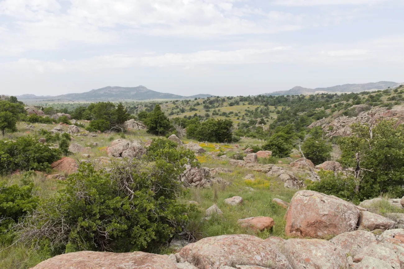
The visitor center is a practical first stop for understanding the roughly 60,000-acre refuge. Pick up a map, browse the exhibits and ask staff which trails and picnic areas are open. The refuge also offers a short introductory video. Its mix of grassland, granite, lakes and streams supports bison, longhorn cattle, elk and many smaller animals.
The Fish and Wildlife Service lists visitor center hours as 9 a.m. to 5 p.m. daily and refuge lands, roads and trails as open from sunrise to sunset. Hours and access can change, however, so confirm them before traveling. Entry to the refuge is free; camping has a fee and requires a reservation.
2. Look for bison from a respectful distance
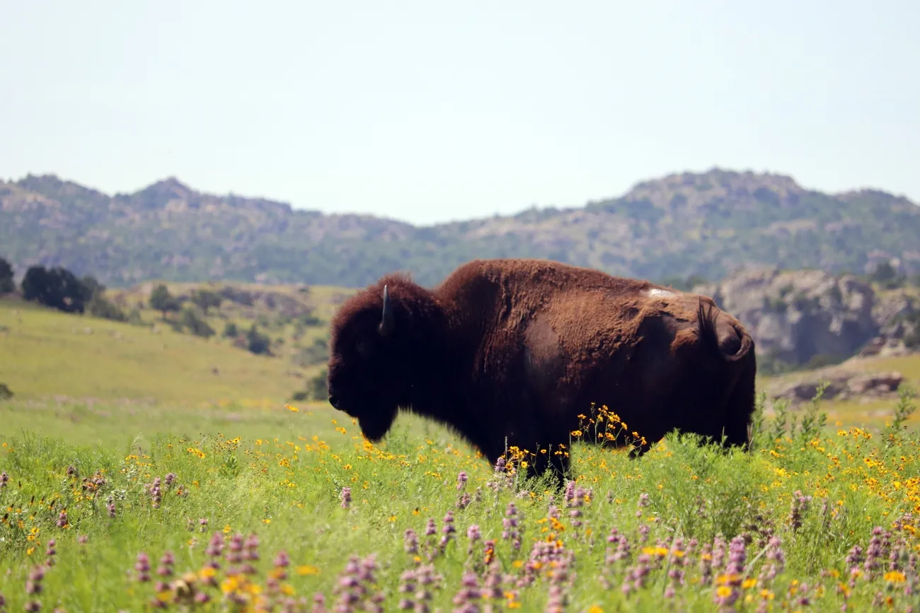
The chance to see a bison against the Wichita Mountains is reason enough for many people to visit. The refuge is also known for free-roaming longhorn cattle and Rocky Mountain elk. Sightings are never guaranteed, and a slow drive through open public areas is often more rewarding when everyone in the car helps look.
Bring binoculars or a longer camera lens. Bison and longhorns can move quickly and unpredictably, even when they appear relaxed. The refuge explicitly tells visitors not to approach them. Stay in your vehicle when animals are close to the road, give them room to cross and never feed them. A good photograph is one made without changing an animal's behavior.
3. Seek a summit view at Mount Scott
Mount Scott is one of the refuge's best-known landmarks. Its summit road gives visitors a way to take in the surrounding granite hills, prairie and lakes without making a long hike the centerpiece of the day. Conditions on the road and access rules can change, so verify its status before making the drive your only plan.
At overlooks, park in designated spaces and keep a close eye on children around exposed rock. The same broad views that make a summit appealing also mean little shelter from sun or changing weather. Consider the time needed for a leisurely stop rather than treating it as a quick photo opportunity.
4. Choose a trail that fits your group
Elk Mountain and Charon's Garden offer a different perspective from a car window: granite outcrops, prairie and a closer look at the refuge's terrain. Ask at the visitor center about route length, difficulty and current conditions before setting off. A trail marked on an older map may be temporarily closed or harder than expected for a particular group.
Carry more water than you think you need. The refuge says there is no potable drinking water available, and cell coverage is spotty. Sturdy footwear, sun protection and an offline map are sensible companions. Tell someone your plans, stay within open areas and turn around if the weather or your water supply makes continuing unwise.
5. Leave room for a lake or picnic stop
The refuge's freshwater lakes offer a quieter counterpoint to the summit. Post Oak and Treasure lakes are among the places named by the refuge, and designated picnic areas provide a reason to slow down between stops. Choose a location on the current map and follow posted rules for fishing, boating or other activities; access and permitted uses vary by site.
Sunset Picnic Area is another named destination worth asking about when planning a route. Pack out everything you bring and keep food secured around wildlife. If your chosen area is closed or full, be prepared to change plans rather than parking outside designated spaces.
6. Check the calendar before you go
Temporary closures matter here. For example, the refuge announced that parts of its public-use area, including Lost Lake and the Dog Run Hollow Trail System, would close during a controlled hunt on November 17–19, 2026. Other areas remained open for that particular hunt, but the agency says closure areas change for later hunts. Check the latest refuge alerts or call the visitor center at 580-429-3222 for your dates.
For an easy first itinerary, start at the center, choose an open scenic drive or overlook, pause for a picnic and add a trail appropriate for the weather and your group. The best plan is flexible enough to put wildlife, current closures and your own comfort first.