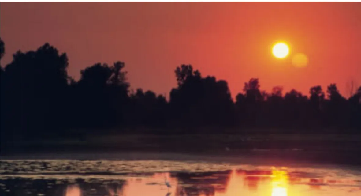
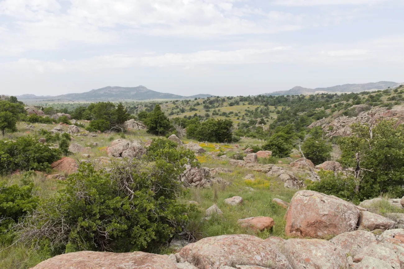
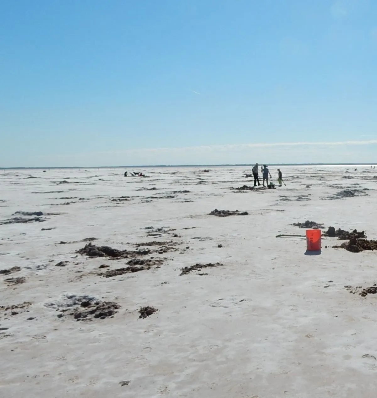
West of Cheyenne, Oklahoma, a quiet prairie valley holds the site of a devastating attack on a Southern Cheyenne village. Washita Battlefield National Historic Site is a place to learn, remember and reflect. Its overlook and trail reveal the landscape, while the visitor center provides essential context for understanding what happened there.
On November 27, 1868, Lt. Col. George Armstrong Custer's 7th U.S. Cavalry attacked the village of Peace Chief Black Kettle along the Washita River. Black Kettle and his wife Medicine Woman Later were killed; Cheyenne families lost lives, homes and supplies, and women and children were captured. The National Park Service notes that accounts of casualties differ. Allow enough time to hear the story beyond the view from the road.
Begin with the visitor center
The visitor center and Black Kettle National Grassland offices are along Highway 47A just west of Cheyenne. Exhibits and the park film introduce the events leading to the attack and its consequences. The NPS also describes displays that explore Cheyenne relationships with bison and the equipment carried by cavalry soldiers.
If a ranger is available, ask about programs and current trail conditions. The center is generally open daily from 8 a.m. to 4:30 p.m., except Thanksgiving, Christmas and New Year's Day, but check its current hours before traveling. There is no entrance fee. The visitor center address is 18555 Highway 47A, Suite A, Cheyenne, OK 73628.
Understand the history before walking
Four years before Washita, Black Kettle survived the Sand Creek Massacre in Colorado, where soldiers attacked Cheyenne and Arapaho people. He continued to seek peace; the NPS recounts that, shortly before the Washita attack, he and Arapaho Chief Big Mouth sought permission to move their people closer to Fort Cobb.
The Washita attack destroyed lodges and winter supplies as well as taking lives. The site preserves a place of profound significance to descendants and tribal communities. Its name uses the federal designation "Battlefield," while visitors may encounter other descriptions of the attack. Take time with the park's accounts and remember that the people affected were families and communities, not abstractions on a military map.
Pause at the overlook
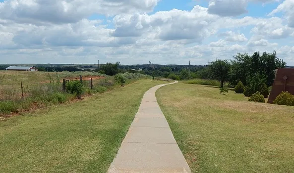
The overlook and trailhead are about half a mile west of the visitor center along Highway 47A. The overlook is wheelchair accessible and has a vault restroom. From here, interpretive signs help orient visitors to the river valley and village site before a walk.
Even a short stop can be meaningful. Read the signs, leave the place undisturbed and allow space for others who may be visiting to remember relatives or reflect. Check current conditions if arriving early or late: the NPS lists the overlook and trail as open from 30 minutes before sunrise until 30 minutes after sunset.
Follow the interpretive trail at your own pace
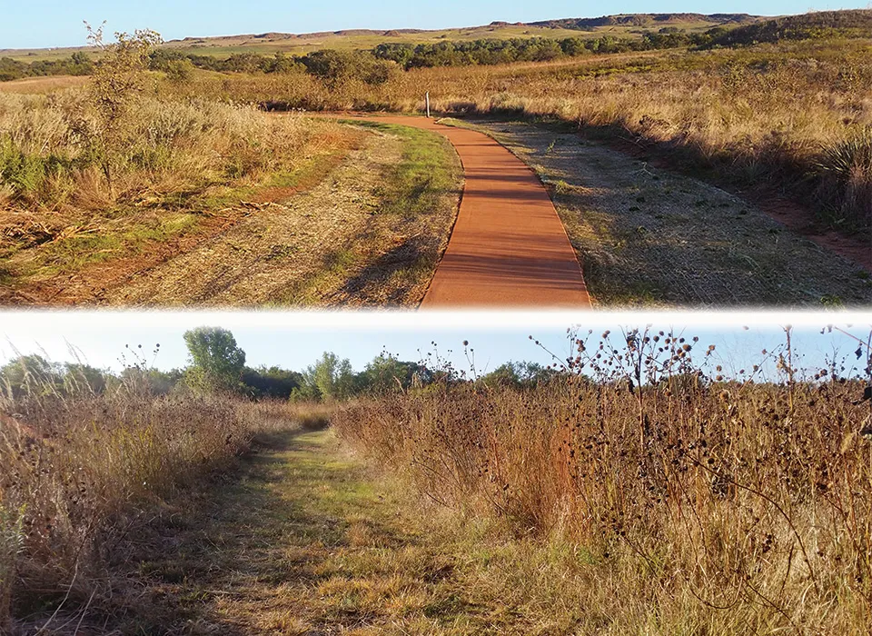
The self-guided trail is approximately 1.5 miles round trip and includes 15 numbered stops. A trail guide or audio guide adds context as the route descends toward the Washita River and returns to the overlook. The NPS suggests allowing about 30 to 90 minutes, though reading and reflection can easily extend the visit.
About half of the loop is paved and accessible; the return section is an unimproved dirt and grass path. The NPS advises that the visitor center's loaner wheelchair is not suitable for the self-guided trail. Check the park's accessibility information and speak with staff about the best option for your group. The trail receives no winter maintenance, so snow or ice may remain after a storm. Pets are not allowed on the battlefield trail.
Add the Dust and Fire Trail
Around the visitor center, the U.S. Forest Service's approximately half-mile Dust and Fire Trail looks at life on the plains after the land run. Its features include a dugout and windmill, alongside information about plants and animals. This trail offers a separate perspective on the region; it does not replace the historical interpretation at the overlook and village site.
The NPS describes the trail's surface as smooth but notes that it is not ADA approved. Ask staff about current conditions and the availability of the center's wheelchair for this route. Keep the different stories and communities represented here in mind as you move between the visitor center and the protected historic landscape.
Prepare for western Oklahoma weather
Wind, summer heat and winter ice can affect an otherwise straightforward visit. Bring drinking water, wear appropriate shoes and carry sun protection; check the forecast and park alerts before leaving. Cell service may be unreliable in parts of the park. For questions, the visitor center number is 580-497-2742.
A thoughtful first visit might include the film, the overlook and as much of the interpretive trail as is appropriate for your group. Leave time afterward to read the park's resources on Black Kettle and the Cheyenne people. The landscape is quiet today, but the history it preserves continues to matter.