In southeastern Oregon’s Harney Basin, Malheur National Wildlife Refuge brings wetlands, meadows, lakes and sagebrush country together along the Pacific Flyway. Birds are a major draw, especially during spring migration, but the refuge’s scale and remote roads reward visitors who prepare for a full day.
The U.S. Fish and Wildlife Service manages the refuge for wildlife and habitat. These five steps will help you plan the drive, find places to observe and leave the landscape undisturbed.
1. Prepare for a remote high-desert trip
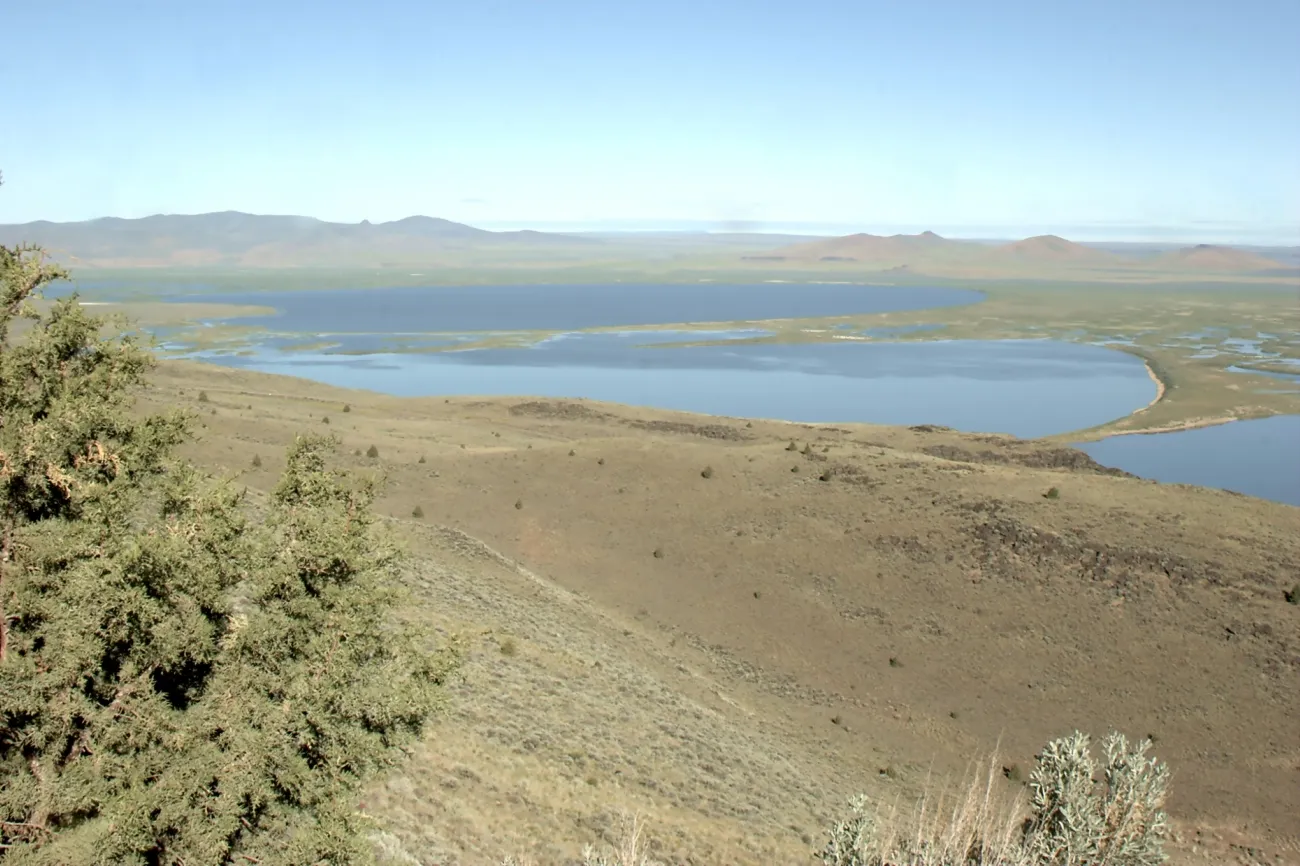
Refuge headquarters is about 30 miles south of Burns. Fuel up before leaving town and bring water, food, layers and a paper or downloaded map. The refuge has no fuel, lodging, food service or camping, and cell coverage can be inconsistent.
USFWS says refuge roads are gravel and require adequate ground clearance; conditions can be poor in any season, with limited pullouts and turnaround space for large vehicles. Call the refuge for current road conditions before committing to the auto tour, especially after rain or snow. Check your vehicle, tires and fuel, and tell someone where you plan to go.
The high desert can shift from heat to storms or bitter cold. Summer mosquitoes can be intense. Sun protection and appropriate layers matter even when you expect to spend much of the visit in a vehicle.
2. Begin with headquarters and a refuge map
Headquarters is a useful starting point for maps, current bird sightings and information about open areas. The visitor center has seasonal hours, while the museum, auto tour and trails generally operate from sunrise to sunset. Check the official hours before arrival, particularly in winter when the visitor center and nature store may be closed.
The George Benson Memorial Museum includes exhibits and historic bird mounts. Staff and volunteers, when available, can help you choose a route for the season and identify road or trail closures. There is no entrance fee under current refuge information.
Use the refuge map rather than assuming every visible road is open. USFWS states that areas are closed unless posted as open to protect wildlife and habitat. Fields, dike tops and other restricted areas should be viewed from authorized routes.
3. Drive the Blitzen Valley auto tour at a wildlife pace
The self-guided auto tour follows a 42-mile route from headquarters to historic P Ranch, largely along the gravel Center Patrol Road. The agency recommends at least two hours for the full route and at least half a day during peak spring bird activity if you want to explore both sections.
Download the brochure or audio guide before leaving reliable service. Numbered stops provide context about wildlife, history and the landscape. Drive slowly, use safe pullouts and allow other vehicles to pass. Turn around if road conditions or your vehicle make continuing unsafe.
Your vehicle can serve as a viewing blind. Binoculars or a spotting scope allow a closer look without approaching wildlife. Avoid stopping in the road or leaving the vehicle in a way that disturbs animals or blocks another visitor.
4. Choose a season and let wildlife set the schedule
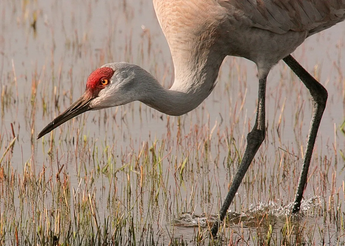
The refuge reports the greatest variety of waterfowl and songbirds from late winter through the end of May. Spring migration can bring large flocks to wet meadows, while different species and habitats become prominent at other times. Specific sightings depend on weather, water and timing, so no individual bird is guaranteed.
Early morning and late evening are often good periods for observation. Check sunrise and sunset so you remain within refuge hours. Ask staff for recent sightings, but give animals room even when a rare bird draws attention.
Do not use recorded calls or other audio devices to lure birds; refuge rules prohibit them. Never feed or pursue wildlife. If an animal changes behavior because you are close, move farther away and give it time to settle.
5. Explore open trails and leave the refuge intact
The refuge lists several trails and observation points, including Buena Vista and Krumbo Reservoir. Select an open route for your group and the weather, carry water and stay on the established path. Check accessibility information with staff if a particular surface or facility is important.
Keep pets leashed where allowed, collect waste and carry out litter. Leave plants, feathers, antlers, rocks and cultural objects in place. The Harney Basin has a long human history as well as ecological significance; visitor-center interpretation can help put both in context.
Before returning to Burns or another community, make sure you have enough daylight and fuel for the gravel and paved roads. A flexible plan that puts habitat and safety first can make this remote refuge a memorable day out.