Three natural stone bridges stand above the canyons of southeastern Utah, each with a different shape and a different route to its base. Natural Bridges National Monument offers a compact driving loop, but the landscape invites more than a quick glance. Here's how to choose a viewpoint, decide whether to hike and appreciate the human history that surrounds the bridges.
1. Begin with the story written by water
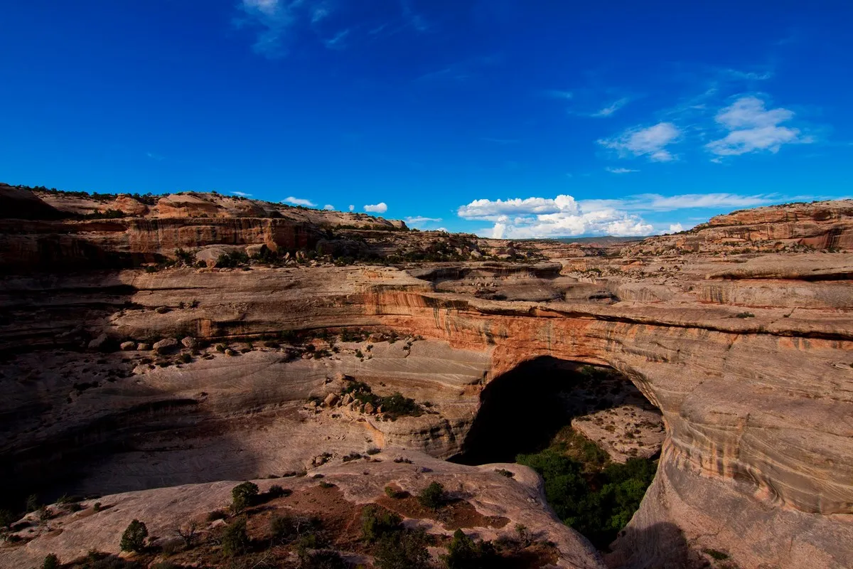
Natural bridges form as flowing water erodes rock, an arresting idea in a landscape that can appear intensely dry. The monument's three namesake bridges are Sipapu, Kachina and Owachomo. At each one, look for the opening, the sandstone above it and the canyon that helped shape it.
The bridges are protected within a national monument established in 1908. Stop at the visitor center for a map and current advice before beginning the loop. Check hours ahead of time, and carry water and fuel: this is a remote destination where services are limited.
2. Take the Bridge View Drive
The roughly nine-mile scenic drive connects overlooks and trailheads. Short walks lead to views of the bridges, so people who do not want a steep canyon hike can still experience the monument. Allow time for parking, walking and simply looking; the formations can be surprisingly hard to distinguish at first against the canyon walls.
Bring binoculars for distant details and check the conditions of each viewpoint path. Stay on established routes and behind barriers, supervise children near drop-offs and keep a safe distance from the rim. Weather can make even a short stop uncomfortable, so plan for sun, wind and seasonal cold.
3. Compare Sipapu, Kachina and Owachomo
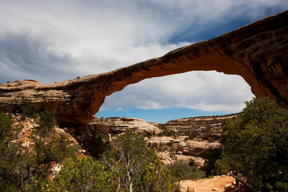
Sipapu is the largest bridge in the monument. Its rounded opening and smooth sides reflect the long work of water carrying rock and sand through the canyon. The viewpoint lets you appreciate its setting without committing to the descent.
Kachina has a different appearance and is considered younger than the other two. Owachomo is older and more slender. Seeing all three from the overlooks encourages a thoughtful comparison: pay attention to the thickness of the stone and the shape of each opening rather than treating the stops as interchangeable.
4. Choose a hike that fits your party
The hike to Sipapu descends from the rim using ladders, stairs and switchbacks, with about 436 feet of elevation loss before the climb back out. This is a substantial change from merely visiting the viewpoint. Wet or icy ladders and rock can make the route more difficult, so check with the park and turn back when conditions exceed your comfort or ability.
The Owachomo trail is a shorter option, reaching the bridge's base in approximately 0.26 mile one way. It is still an unpaved route with elevation change, and every descent has a return climb. A mostly flat paved path leads instead to the Owachomo viewpoint. Select the experience that suits everyone rather than assuming the bridge base is necessary for a good visit.
5. Respect the people and places beyond the geology
The landscape holds the history of Ancestral Puebloan people who made this region their home. The National Park Service says the present bridge names honor those earlier inhabitants, although the names they used for the formations are not known. Cultural sites are part of a living heritage, not places to enter or collect souvenirs.
View cultural structures from designated areas. Do not touch rock markings, climb walls, move stones or take artifacts. Leave room for others to experience the place quietly and use the park's interpretation to learn more about the people connected to it.
6. Consider the night sky and practical details
Natural Bridges was designated the world's first International Dark Sky Park in 2007. If you plan to stay after dark, check the park's current access and camping rules; the campground requires reservations. Bring layers and a light appropriate for finding your way safely while protecting night vision and the experience of others.
For a day trip, the driving loop and several viewpoints make a manageable foundation. Add a hike only after accounting for weather, daylight and water. Check current alerts before departure and download maps in advance. The reward is a landscape that becomes more interesting the longer you look, from the canyon rim down to the stone carved by water.