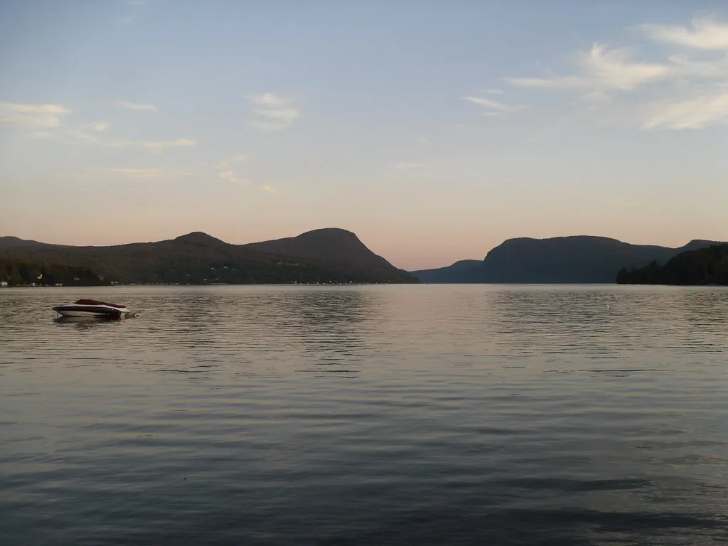
In Burlington, Lake Champlain is more than a backdrop. It shapes the city's waterfront parks, a popular multi-use path and the views that make a simple walk feel like a getaway. A day beside the water can be as active or relaxed as you choose, with room for a short stroll, a longer bike ride and a meal downtown.
The waterfront is a public landscape used by residents as well as visitors. Share the path, check seasonal facilities and pay attention to weather. Lake breezes and winter ice can change the experience quickly, even when conditions elsewhere in the city seem mild.
1. Start with the view from Battery Park
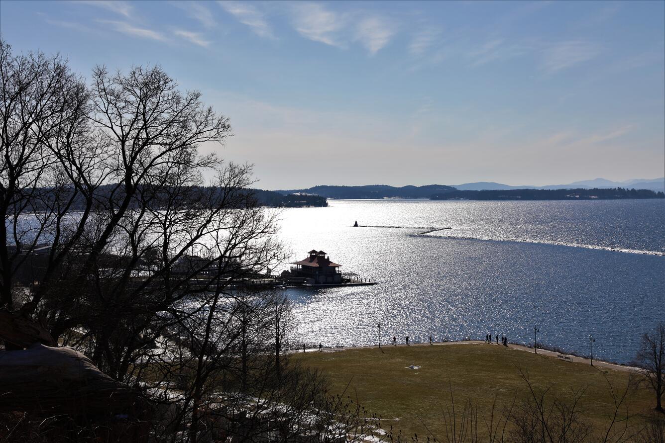
Battery Park provides an elevated perspective over Lake Champlain and the Burlington waterfront. From here, visitors can get their bearings before heading down toward the water. A view across the lake is a reminder that this is a large shared waterway extending beyond Vermont, with communities and ecosystems connected along its shores.
Bring a layer and allow time to look rather than rushing straight to the next stop. Weather and visibility determine how far you can see, and a clear day will feel different from a cloudy or snowy one. Paths and nearby streets can be slippery in winter, so choose shoes and a route suited to the conditions.
If you are walking between the park and the waterfront, consult a current map and account for changes in grade and street crossings. Anyone who needs a particular accessible route should check current city information before setting out; a scenic overlook and the lakeside path do not necessarily have the same access conditions.
2. Spend time at Waterfront Park
Waterfront Park sits along Lake Champlain west of downtown and offers space to enjoy the shoreline. The city describes it as a regional park that hosts events through much of the year. Its location makes it easy to combine a lakeside pause with a meal or another downtown stop, provided you allow time for the walk and parking.
Events can change the atmosphere and access on a given day. Check the city calendar and current notices if your visit coincides with a festival or organized activity. A busy summer afternoon may call for an earlier start or a shorter section of the path; a quieter shoulder-season visit may require more attention to weather and available facilities.
Keep children close near the water and follow any posted signs. The shoreline is enjoyable from a safe distance. Do not assume that a scenic view means swimming or other water access is permitted at that particular location.
3. Choose a section of the Burlington Greenway
The Burlington Greenway is an approximately eight-mile paved multi-use path along Lake Champlain. It connects parks and neighborhoods and forms part of the longer Island Line Trail. You do not need to cover its entire length: pick a comfortable section near Waterfront Park, enjoy the water views and turn back when it suits your schedule.
Walkers, runners, cyclists and people using the route for transportation share the space. Keep to the appropriate side, give others room and pay attention at road crossings. Bike rentals may be available near the waterfront, but confirm current hours, equipment and reservation details with the provider before making them central to your plan.
In winter, the city says it plows the Greenway after storms but does not add salt or sand because of the path's proximity to the lake. Surfaces can remain slippery. Use caution, check current conditions and choose another route if ice or snow makes the path unsuitable for your group.
4. Notice the science along the shore
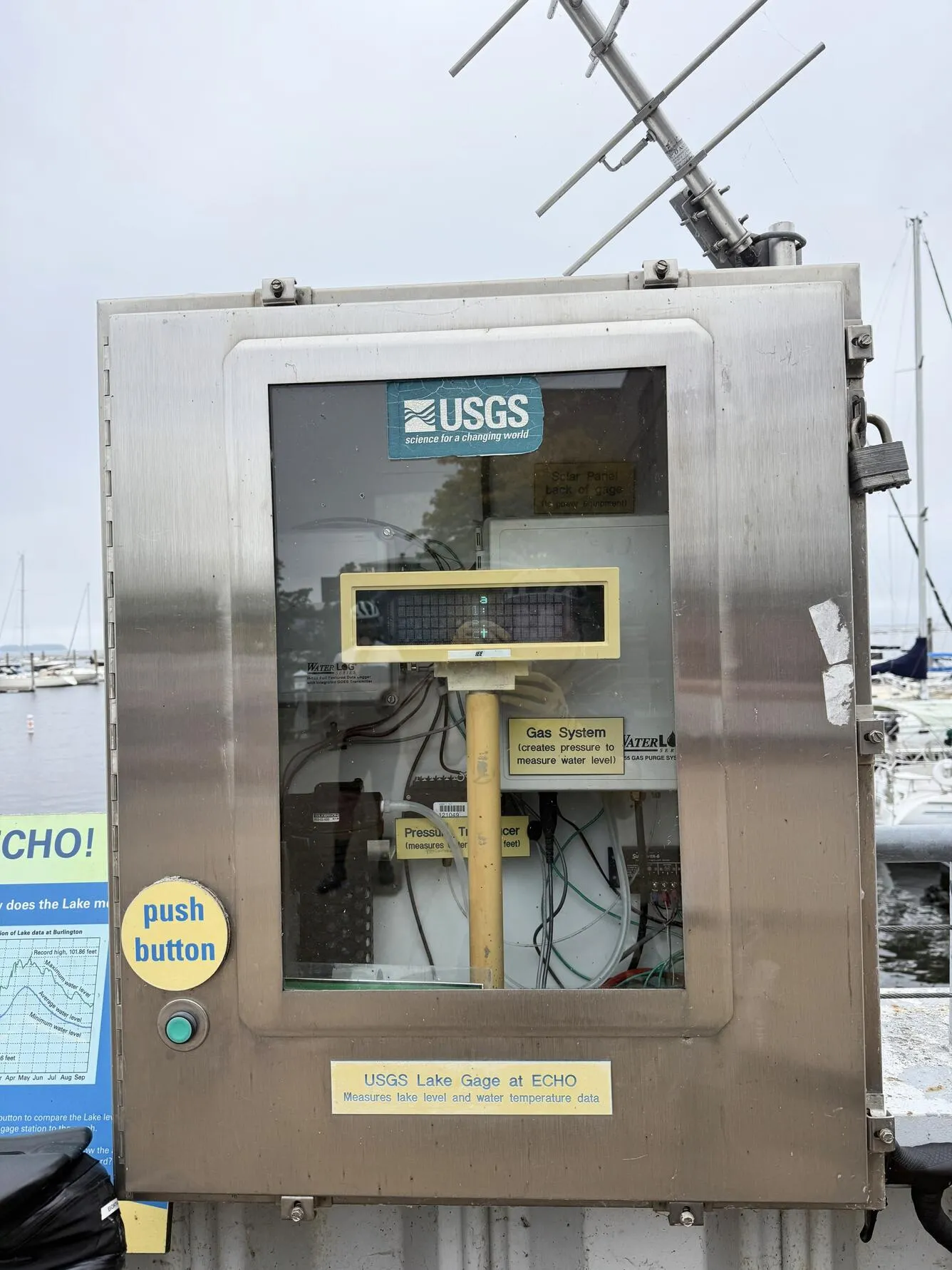
Near the waterfront, the U.S. Geological Survey operates a monitoring station on Lake Champlain outside the ECHO Leahy Center for Lake Champlain. The station measures water conditions, and an interpretive sign helps passersby understand the data. It is a small detail that connects a pleasant walk with the work of observing and caring for a major freshwater resource.
The lake supports communities, recreation and wildlife across a broad region. A visitor does not need to master the science to appreciate that water levels and water quality matter to people who live and travel here. Pause at the sign if it is accessible and let the information add context to the view.
If a museum visit is part of your day, check ECHO's own current hours, tickets and programs separately. The monitoring station's presence on the waterfront does not imply that the museum is open or that admission is included in a park visit.
5. Plan around the season and your group's pace
In warm weather, a short Greenway walk and time at Waterfront Park can be paired with lunch downtown. In colder months, build in indoor breaks and allow extra time for slippery sidewalks or changing weather. Seasonal restrooms are available at several points along the Greenway, according to the city, but confirm availability before relying on a particular facility.
The Island Line Trail continues beyond Burlington and includes a seasonal bike ferry connecting across a gap in the causeway. That ferry is a separate operation with its own schedule; do not assume it runs year-round or treat it as necessary for a short Burlington waterfront walk. Check the operator's current details if a longer ride is your goal.
Choose the outing that fits the day: a view from Battery Park, a quiet lakeside pause or a longer shared-path excursion. The reward is time beside Lake Champlain without having to hurry through it.