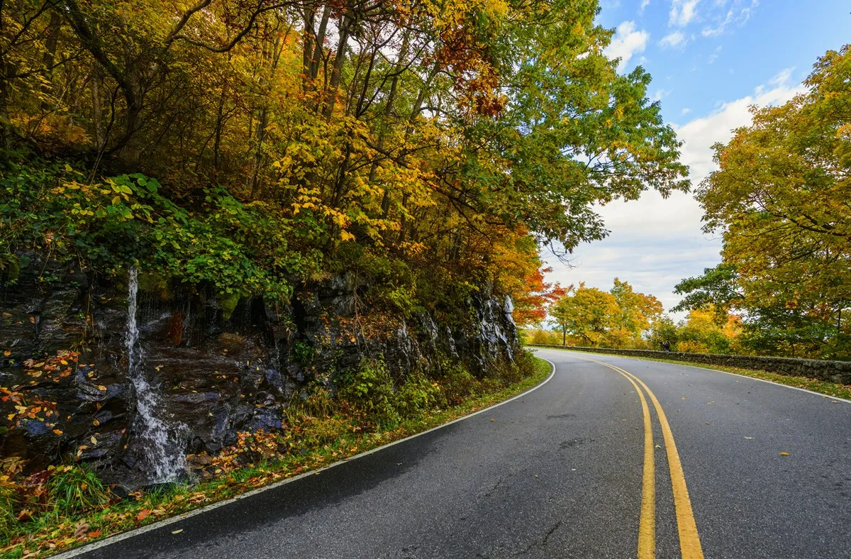
Virginia’s portion of the Blue Ridge Parkway is an invitation to slow down: pull into an overlook, follow a short trail, learn how a mountain mill worked or spend an afternoon beside a lake. The full parkway stretches 469 miles between Shenandoah National Park and Great Smoky Mountains National Park, but there is no reason to attempt it all at once.
These four stops offer a cross-section of the Virginia route. They are spread over many miles, so choose a section that suits your time rather than trying to force every stop into one afternoon. Check the National Park Service road-status page immediately before departure: construction, storms and winter weather can close sections or require detours.
1. Humpback Rocks: a steep view and a mountain farm
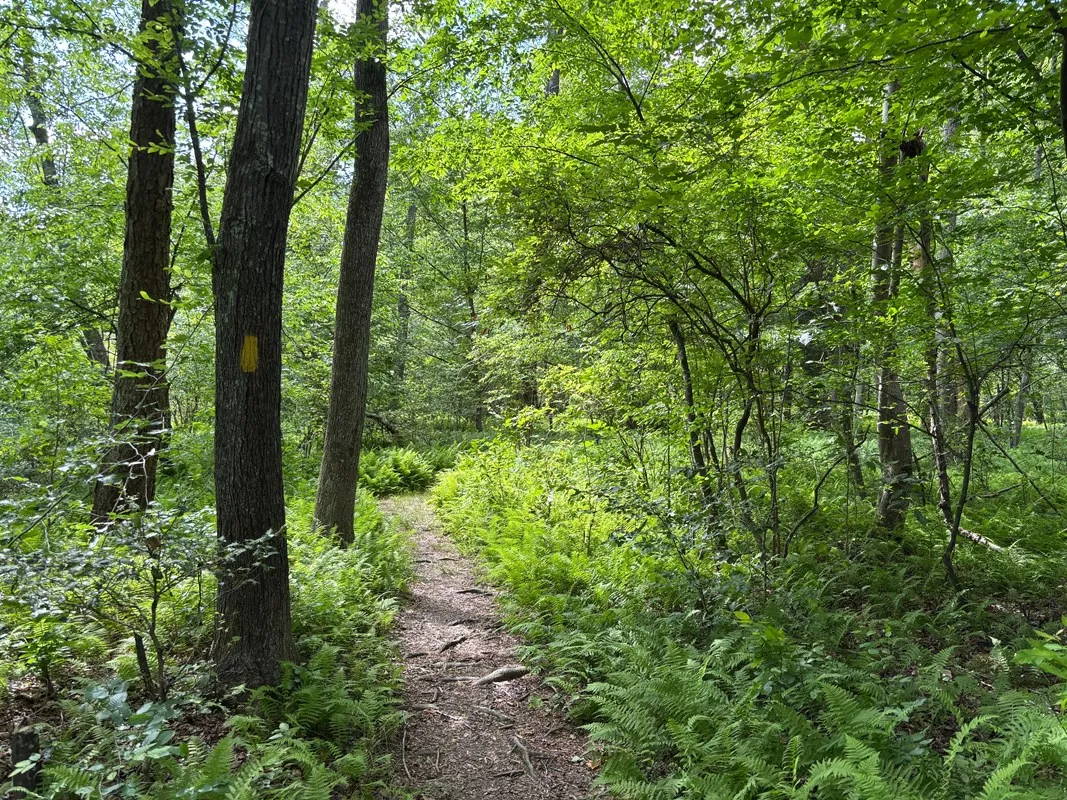
Near the northern end at milepost 5.8, Humpback Rocks combines a mountain landscape with a collection of historic farm buildings. The visitor center area introduces life in the region, while the nearby rocks offer a sweeping view for hikers who are prepared for a steep ascent. The farm buildings were brought together to interpret mountain life, so look for signs explaining their history and relocation.
Do not confuse the steep climb to the rocks with the gentler walk around the farm. Wear shoes with good traction, carry water and check trail conditions before deciding. The park lists the Dobie Mountain Trail at Humpback Rocks as permanently closed; follow current signs and use the official trail information rather than an outdated online route.
Visitor services and access to building interiors are seasonal. Even when facilities are closed, outdoor conditions may allow a short walk, but parking lots and trails can also close for weather. If the ridge is in fog, it can be worth taking a shorter walk and saving the big view for another day.
2. James River: a change in elevation and perspective
The parkway crosses the James River near milepost 63. At this low point along the route, the surrounding terrain and vegetation feel different from the mountain overlooks to the north and south. A visitor center and trails offer opportunities to pause and learn about the river corridor when facilities are open.
Road work can make this a particularly important section to check. The park’s November 2026 road-status update identifies a closure around the James River Bridge and a signed detour; the exact situation can change. Follow current National Park Service directions and posted signs instead of assuming an uninterrupted parkway drive.
Allow extra time for the detour and do not make a tight connection to a timed reservation elsewhere. Cell service can be unreliable in mountain areas, so download directions in advance and carry a paper map if possible. The parkway experience is more enjoyable when a closure becomes a planned adjustment rather than a surprise.
3. Peaks of Otter: lake paths and mountain trails
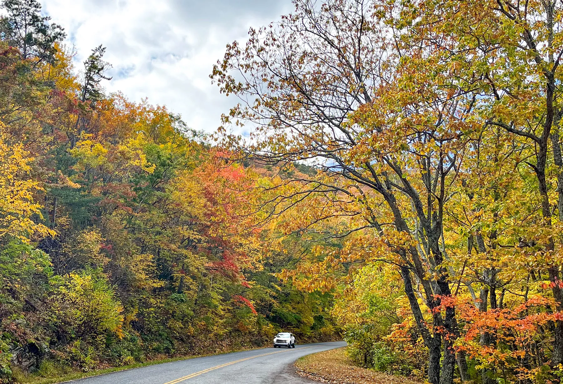
At milepost 85.6, Peaks of Otter is a good choice for groups with different ideas of a mountain outing. The area includes Abbott Lake, a visitor center and access to trails of varying difficulty. A waterside walk and a picnic can make a pleasant day without committing to a summit; ask locally about accessible routes and current conditions.
For experienced hikers seeking a bigger climb, the Sharp Top Trail reaches the summit in about 1.5 miles one way according to the park. The short distance does not mean an easy walk: steep terrain, uneven footing and changing weather deserve preparation. Pack water and layers, and turn around if conditions or energy levels call for it.
Lodging, campground and other services operate on their own schedules. Check the official park and concession information before counting on a meal, a room or a shuttle. Bring a backup picnic and do not leave food accessible to wildlife.
4. Mabry Mill: a working landscape with a story
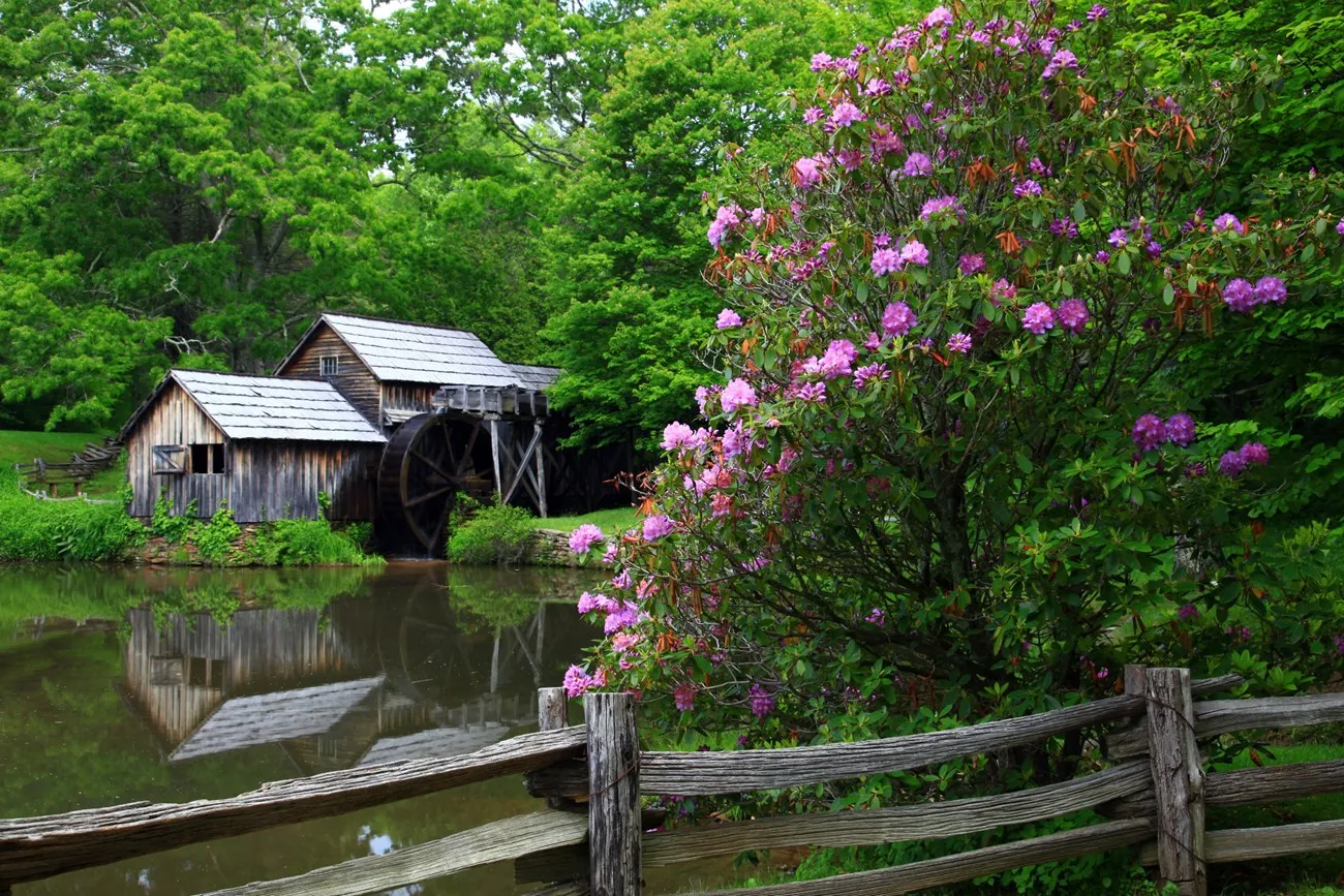
Near milepost 176, Mabry Mill and its pond are among the parkway’s familiar scenes. Ed and Lizzy Mabry operated the mill and related enterprises for decades. Today the site interprets the work of milling, sawing and blacksmithing, with demonstrations and programs offered seasonally.
The park describes the Mountain Industry Trail as an easy half-mile walk past historic features. Matthew’s Cabin was moved to the site, so it is worth reading the signs to distinguish original elements from buildings assembled for interpretation. Interior access, demonstrations, food service and music events vary by season; consult the park calendar instead of assuming they will be available.
For a relaxed outing, choose two nearby destinations, enjoy their trails and save the rest for another trip. Fuel up outside the parkway, watch for cyclists and wildlife, and pull fully into designated overlooks before stopping for photographs. Conditions change quickly in the mountains, and the road is most rewarding when the schedule leaves room for them.