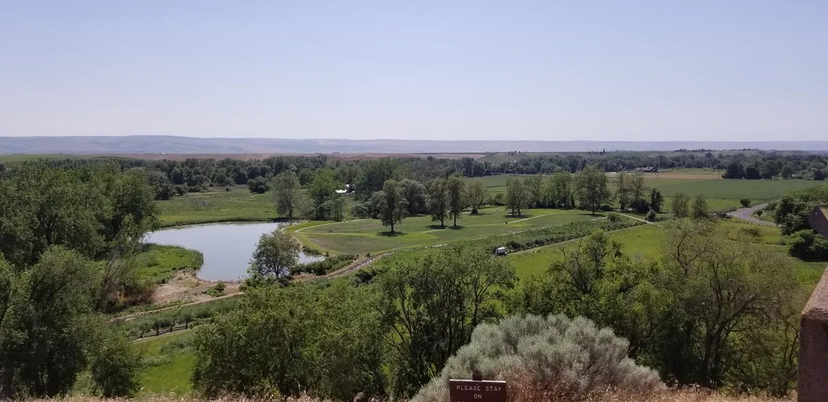
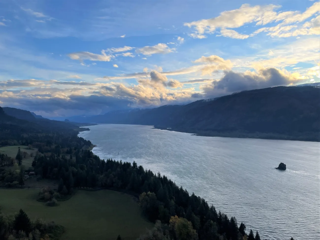
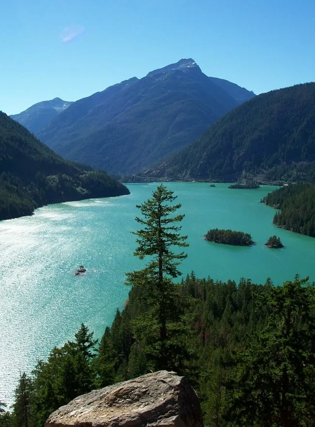
Mount St. Helens is a place where a mountain’s history is visible in the shape of the land. The eruption of May 18, 1980, transformed the volcano and surrounding forests, and the years since have brought a remarkable story of ecological recovery. A visit can combine exhibits, distant viewpoints and a wetland walk without requiring a summit climb.
Planning matters especially now. A 2023 landslide damaged the road to Johnston Ridge Observatory, and the observatory remains closed while access is repaired. Washington State Parks currently anticipates completion of road repairs in 2027; dates and conditions may change. Check the Forest Service and state visitor-center updates before traveling, and do not plan a visit around reaching the observatory.
1. Begin at the Mount St. Helens Visitor Center
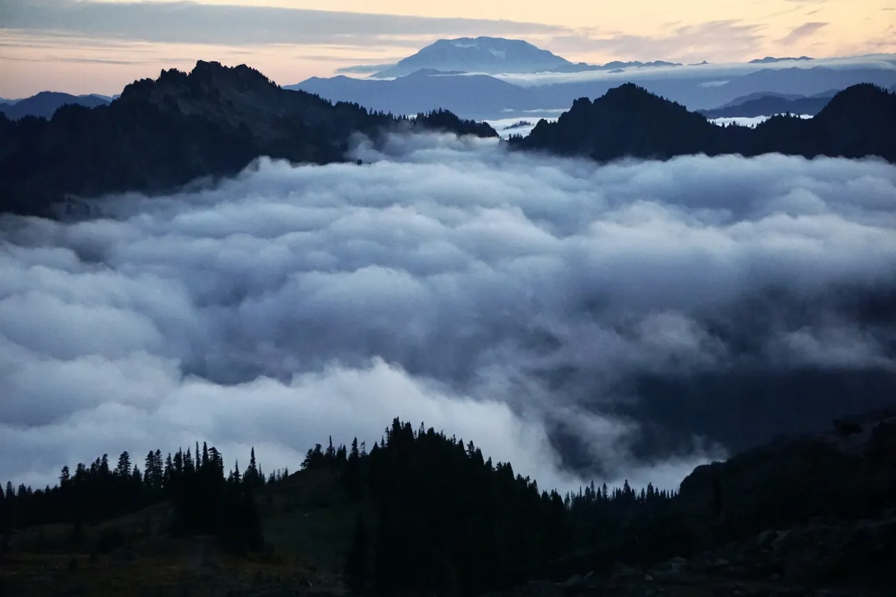
The Washington State Parks visitor center at Silver Lake, near Castle Rock, is a useful introduction to the volcano. Its exhibits and film explain the eruption and its effects. Renovations completed in 2025 updated the displays, making the center a good first stop before venturing farther along State Route 504.
The center charges admission and has seasonal hours. Its published winter schedule runs Wednesday through Sunday, while summer generally brings daily opening; verify current details and holiday changes before your visit. Pets are not permitted inside, with an exception for trained service animals. Group visitors should contact the center ahead of time.
2. Walk the Silver Lake wetland boardwalk
Beside the visitor center, a boardwalk trail offers a change of scale from the volcano’s enormous history. The state describes a roughly 0.6-mile walk through wetland habitat, where birds and changing light can make a leisurely stroll worthwhile even when clouds hide the mountain.
Bring binoculars and dress for rain or wind. A volcano view depends on weather, not a reservation, so keep expectations flexible. Stay on the boardwalk and designated paths to protect the wetland, and consult posted information for current conditions and pet rules.
3. Understand what changed in 1980
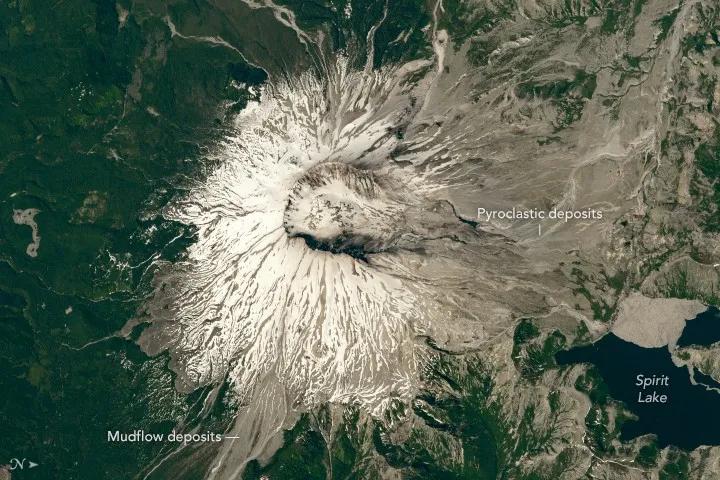
On May 18, 1980, a major earthquake triggered collapse of the volcano’s north flank, followed by a powerful lateral blast. Fifty-seven people died, and the eruption dramatically reshaped the surrounding landscape. The horseshoe-shaped crater seen in aerial photographs is a reminder of both the scale of that event and the lives affected by it.
The U.S. Geological Survey continues to monitor Mount St. Helens as an active volcano. Interpretive exhibits and agency resources explain not only the eruption but also the scientific work and gradual return of plants and animals. Read the landscape as a changing system rather than a scene frozen in 1980.
4. Choose viewpoints according to current access
State Route 504 has offered viewpoints and visitor facilities west of the landslide closure, including Elk Rock and Castle Lake. Their availability can change with construction, maintenance and weather, so use the latest official road information rather than assuming every pullout is open. The Science and Learning Center at Coldwater has its own seasonal schedule; confirm it before making it a destination.
Pull completely into designated areas, never stop in a traffic lane for a photograph and give mountain roads more time than a map suggests. Snow, fog and rain can alter visibility rapidly. The 2023 slide also affected associated trailheads; do not follow an old guide into a signed closure.
5. Make a safe and flexible day of it
Seaquest State Park, connected to the visitor-center area by a pedestrian tunnel, offers another place to extend the outing. Its facilities and pass requirements are separate from the visitor-center admission, so review both before arriving. A picnic and a short walk make a sensible backup if the mountain is obscured.
For a straightforward itinerary, start with the exhibits, walk the Silver Lake boardwalk and then drive only as far as current conditions and open viewpoints allow. Carry water, layers and offline directions. If you are considering longer trails or another side of the monument, check that specific road and trail status as well as the forecast; routes around the volcano are not interchangeable.
The reward is not just a view of a crater. It is a chance to see how a community remembers a disaster and how a landscape continues to change decades later.