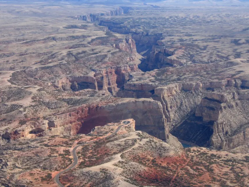
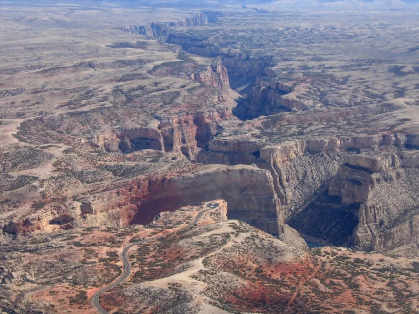
North of Lovell, Wyoming, a paved road crosses dry hills where wild horses sometimes graze before arriving at a view that seems to open all at once. At Devil Canyon Overlook, cliffs drop toward Bighorn Lake, and the water winds between walls of layered rock. The view alone can justify the drive. A little more time reveals trails, historic ranches and a surprisingly varied shoreline.
Bighorn Canyon National Recreation Area spans Wyoming and Montana. This itinerary focuses on the southern district near Lovell: the northern district is about a three-hour drive away, so the two are not interchangeable stops on a short visit.
1. Begin in Lovell
The Cal S. Taggart Bighorn Canyon Visitor Center, just east of town near the junction of U.S. 14A and U.S. 310, is a good place to orient yourself. Exhibits introduce the area's geology, wild horses and ranching history. Ask about weather, trail conditions and current road access before heading into the park, especially in colder months.
The park itself is generally open year-round, though severe winter weather can close roads. Visitor-center hours change with the season and holidays, so confirm them before relying on an indoor stop. The Park Service says the recreation area has no entrance fee; individual services and activities can have their own charges.
2. Drive to Devil Canyon Overlook
From the Lovell area, follow Wyoming Highway 37 north and watch for the signed turn to the overlook. The Park Service places the turn roughly 15 miles along the route from U.S. 14A. The paved road leads to a parking area near the viewpoint, where a short walk brings the canyon and lake into view.
At this point the walls rise more than 1,000 feet above the water, according to the park. The view is dramatic, but the ground near the vista is uneven; the Park Service advises that the viewpoint is not suitable for wheelchairs or visitors who have difficulty walking. Stay back from edges and keep children close.
3. Watch for wild horses without crowding them
The drive passes through part of the Pryor Mountain Wild Horse Range. Horses and bighorn sheep may appear near the road, though sightings are never guaranteed. Slow down, use an appropriate pullout and enjoy animals from a distance. A zoom lens or binoculars can make the experience more rewarding without disturbing them.
Carry enough water for everyone in your group and take extra care on warm, exposed days. Cell service is limited in much of the park, so download directions or bring a map rather than depending on a signal at every turn.
4. Add a trail with a different perspective
Sullivan's Knob is one of the Park Service's suggested short outings in the southern district. Its trip itinerary describes the walk as approximately three-quarters of a mile round trip, with canyon views along the way. Check the route and conditions with a ranger before starting.
For a longer hike near Horseshoe Bend, the moderate Mouth of the Canyon Trail is 1.8 miles round trip. The route crosses colorful terrain above the water; the Park Service asks hikers to stay on the trail to protect fragile soil. Bring sun protection and sturdy shoes, and turn back if conditions are beyond your group's comfort.
5. Explore the lake and historic ranches
Horseshoe Bend offers another way to experience the recreation area, with a marina, boat launch and swim beach. Seasonal services vary, so check current operating dates and lake conditions before making boating or swimming the centerpiece of your trip. Barry's Landing, farther along the road, also has a boat launch and canyon views.
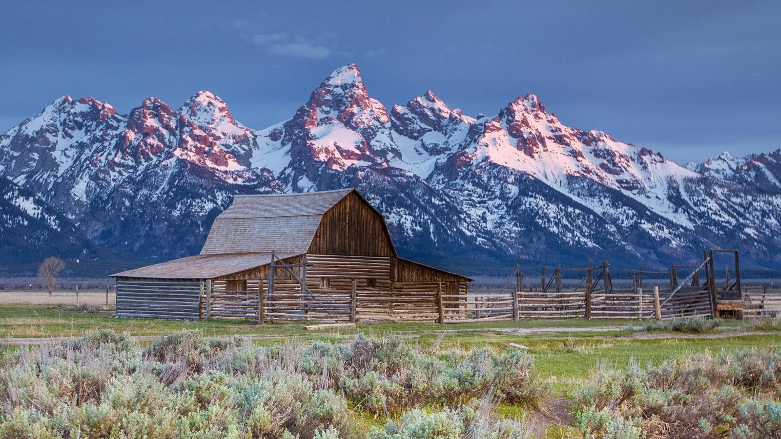
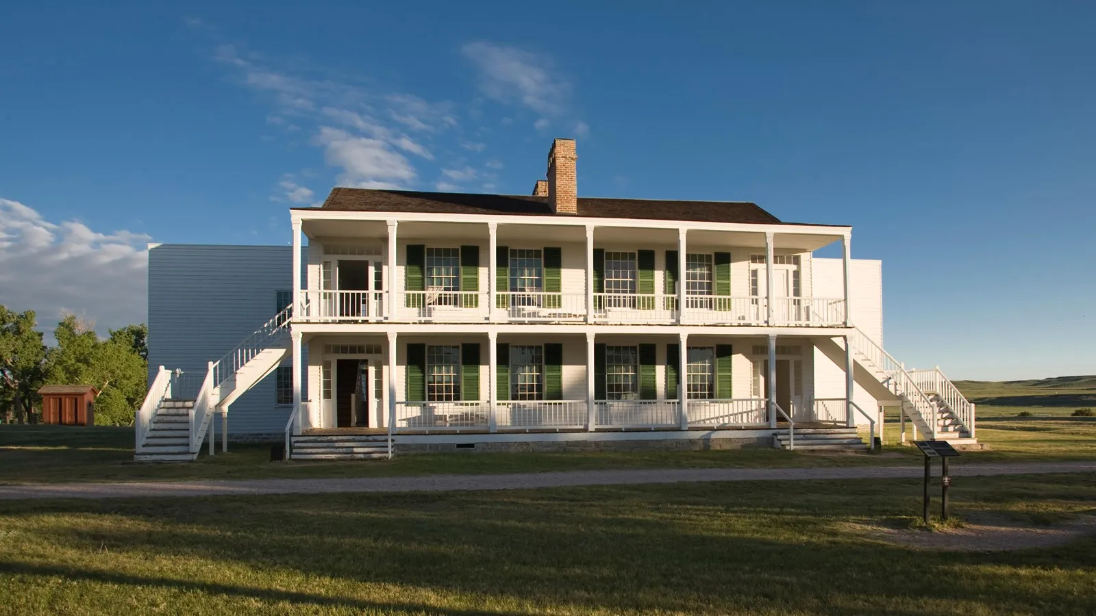
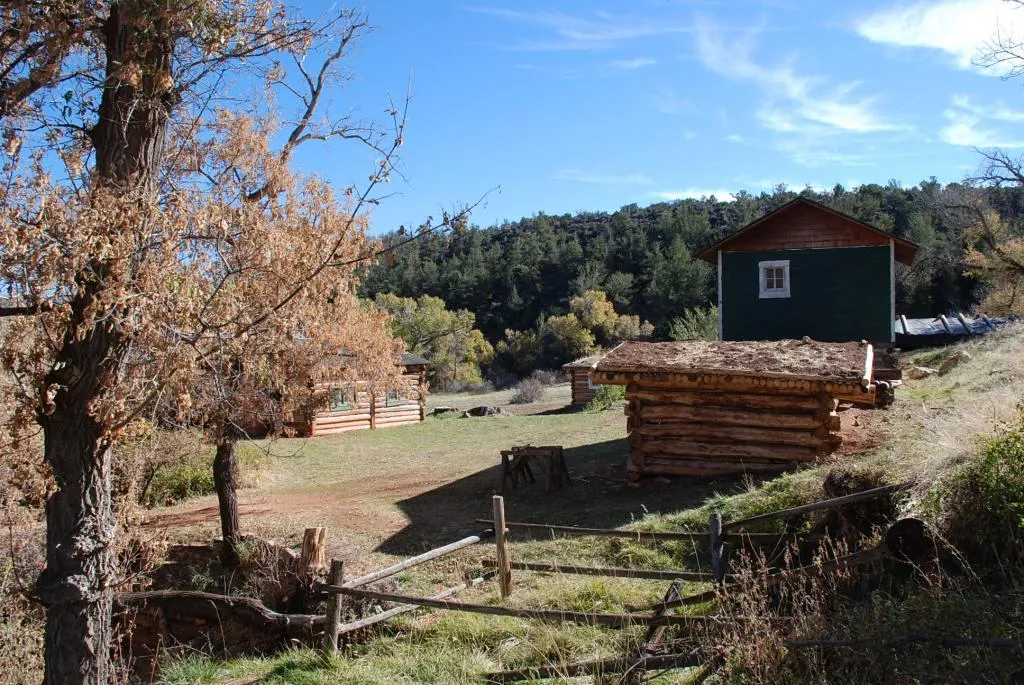
On land, the historic ranches offer a glimpse of people who lived and worked in this landscape. The Park Service lists Lockhart Ranch, Ewing-Snell Ranch, Mason-Lovell Ranch and Cedarvale Ranch among its self-guided historic sites. Confirm road conditions before choosing one: a stop that looks close on a map may require extra driving time.
6. Plan the route back before sunset
Fuel up in town, carry food and water, and leave room in the schedule for wildlife and photo stops. If your route uses U.S. 14A over the mountains, check its seasonal status before traveling; the road is not reliably open through winter. For a short visit, the visitor center and overlook make a manageable pairing. With half a day or more, add a hike or a ranch and let the canyon become the main event.
Before leaving, check the park's hours and seasonal information and the visitor FAQ for road and facility details.