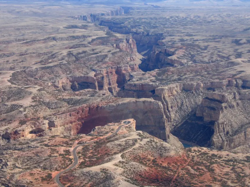
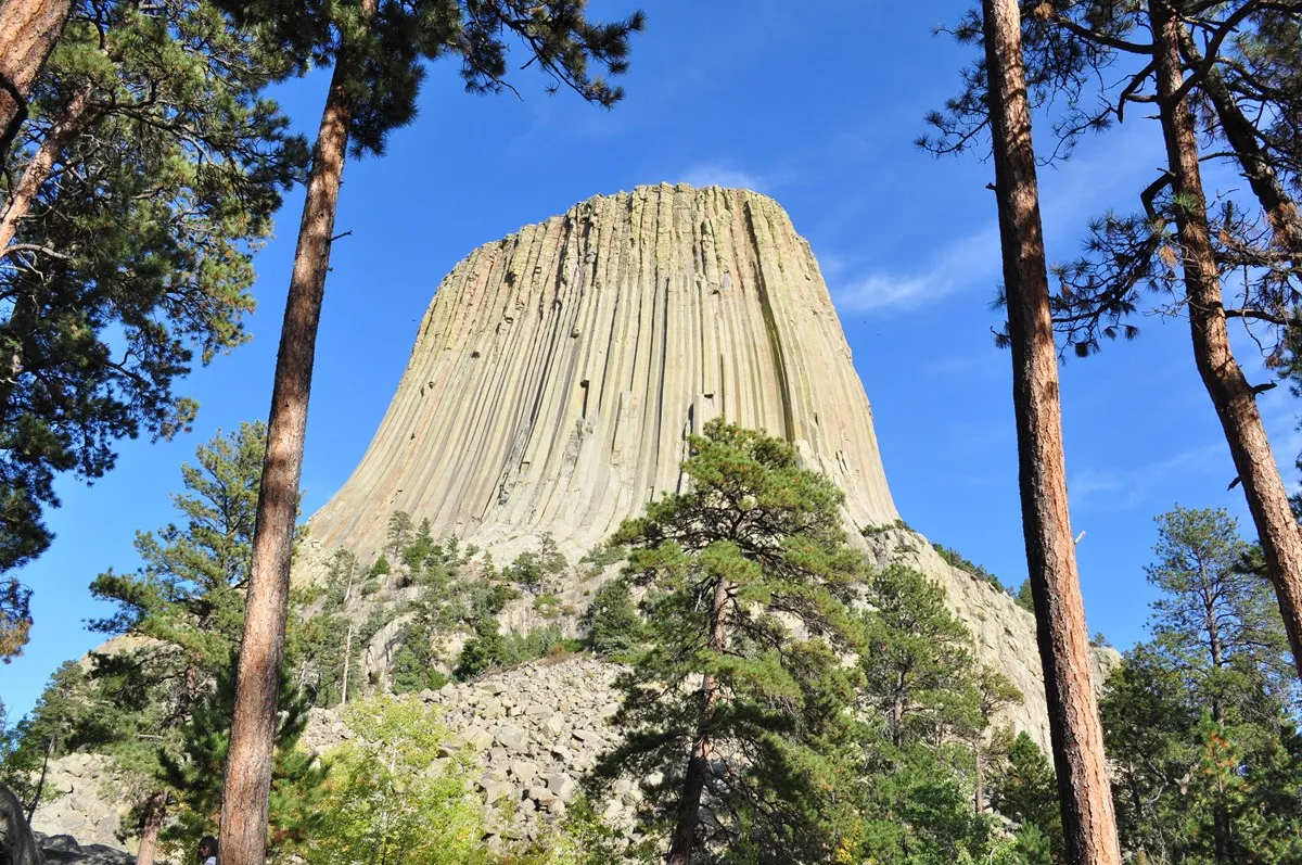
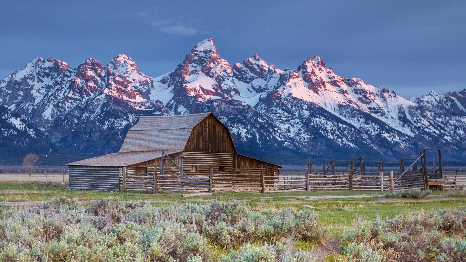
Near Lander, Wyoming, a river appears to disappear into a mountain. The Middle Fork of the Popo Agie enters a limestone cavern in Sinks Canyon State Park, then returns to the surface farther down the canyon at a pool called the Rise. It is a geological puzzle you can begin to understand in a single visit—and a reason to linger in a canyon of cliffs, forests and rushing water.
The canyon includes state park, Bureau of Land Management and national forest lands, each with its own rules and facilities. Check current access, weather and visitor-center hours before leaving Lander. These seven ideas focus on the river's remarkable journey and the landscape around it.
1. Begin with the canyon itself
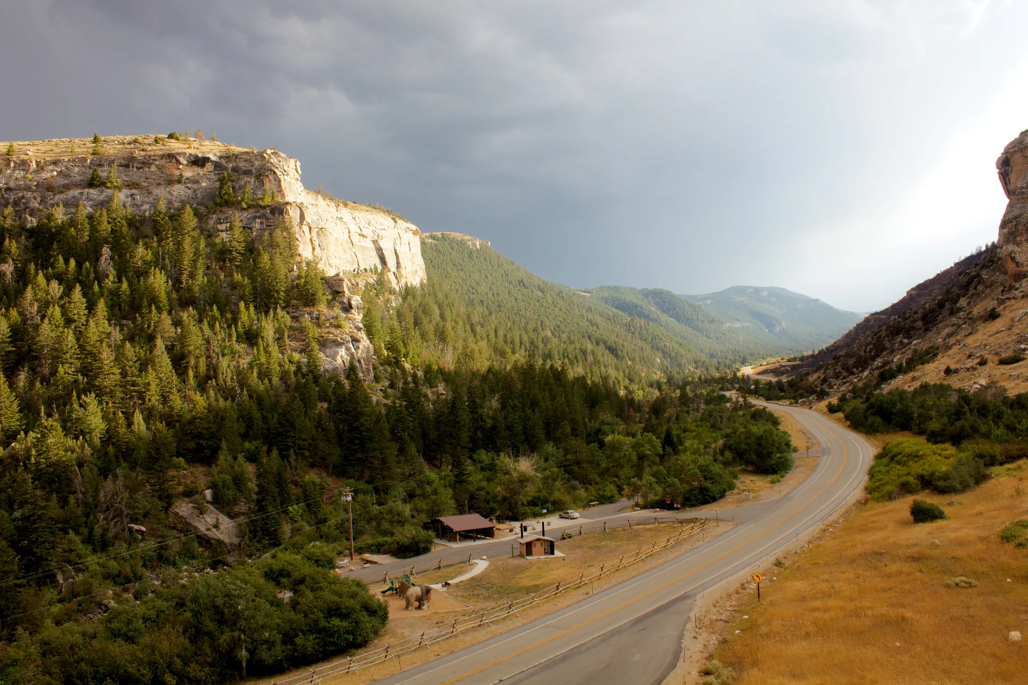
Sinks Canyon climbs into the Wind River Mountains south of Lander. The road follows the river between slopes that change from open, drier ground to wooded canyon walls. Before looking for the famous disappearing water, pause at a designated viewpoint and notice how the river and exposed rock fit into the larger valley.
The Bureau of Land Management notes that multiple agencies manage land in the canyon. Use official maps and posted signs to understand where you are, park in designated spaces and avoid assuming that rules for a state park trail apply to every adjoining parcel. The visitor center is seasonal; verify its current hours if you want to speak with staff.
2. Watch the river enter the Sinks
At the Sinks, the Middle Fork of the Popo Agie flows into a cavern in the Madison Limestone. The apparent disappearance is dramatic, particularly when water is moving quickly. Rather than trying to approach the water's edge, use the established viewing areas and give the river room.
Flow changes through the year. The U.S. Geological Survey explains that during large floods some water can bypass the cavern entrance along the surface channel. A visit in spring runoff may therefore look very different from a quieter late-summer day. Wet rocks and moving water are hazardous; keep children close and obey barriers.
3. See the Rise and its trout
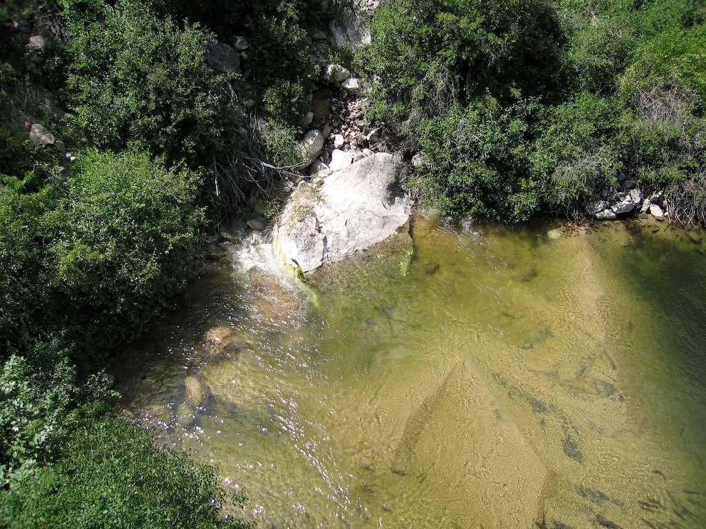
Downstream, water emerges into a clear pool known as the Rise. Visitors often look for the large trout visible there. This is a place for watching, not disturbing: follow posted rules, stay on the established viewing platform or paths and do not fish where prohibited.
Give your eyes a moment to adjust to reflections on the water. Fish can be easier to spot when you look beneath the glare rather than directly at the surface. The pool also offers a chance to consider how water can move through rock even when the route is hidden from view.
4. Follow the evidence underground
For years people debated whether water entering the Sinks actually emerged at the Rise. A 1983 dye test, conducted with the U.S. Geological Survey, confirmed the connection. Wyoming's geological survey says the dye took between two and eight hours to travel underground, much longer than a simple surface flow over the short distance would suggest.
The survey explains that the winding route through caves and fractures is still not completely mapped. More water emerges at the Rise than enters at the Sinks, indicating that other water sources join the underground system. The science makes the observation more interesting without removing the mystery: the river is connected, but its exact path remains complex.
5. Look for differences across the canyon
Step back from the water and compare the canyon walls, vegetation and changing light. Rock layers and exposure help shape where trees and shrubs grow, while the river corridor creates a different habitat from the drier slopes above. You do not need to identify every formation to appreciate the contrast.
The Wyoming State Geological Survey's guide provides a useful introduction to the area's rocks and the limestone that helps create the Sinks and Rise. Bring binoculars for a closer look rather than climbing unstable slopes. Leave rocks, plants and other natural features in place for future visitors.
6. Consider the Popo Agie Falls hike
For a longer outing, the Shoshone National Forest describes the Popo Agie Falls Trail from the Bruce parking area to a falls overlook. Its visitor guide lists approximately 1.5 miles one way, so plan for the return distance as well. This is a different outing from the roadside Sinks and Rise viewpoints.
Confirm the latest trail, road and weather conditions with the Forest Service before setting out. Carry water, food, layers and a map, and allow plenty of daylight. Snow, ice, high water and uneven footing may make a route unsuitable regardless of the distance on paper. Stay away from swift water and slick rock near the falls.
7. Make room for a relaxed day
Start in Lander with fuel and supplies, then leave enough time for the viewpoints and any walk you choose. Check current fees, camping arrangements, pet rules and seasonal services directly with the managing agency. Cell reception and weather can be unpredictable in mountain terrain, so download a map and tell someone your plans if you are heading farther afield.
A good Sinks Canyon visit can be simple: watch water enter limestone, see the pool where it returns, and spend time looking at the canyon between them. The more carefully you look, the more the place reveals.